
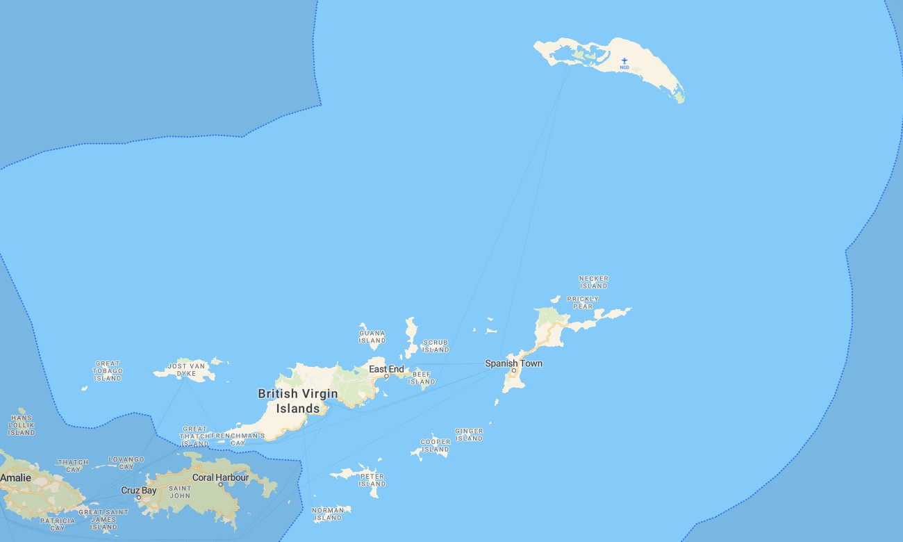
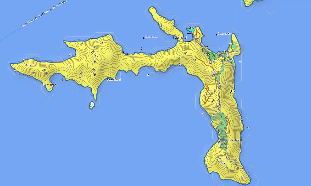
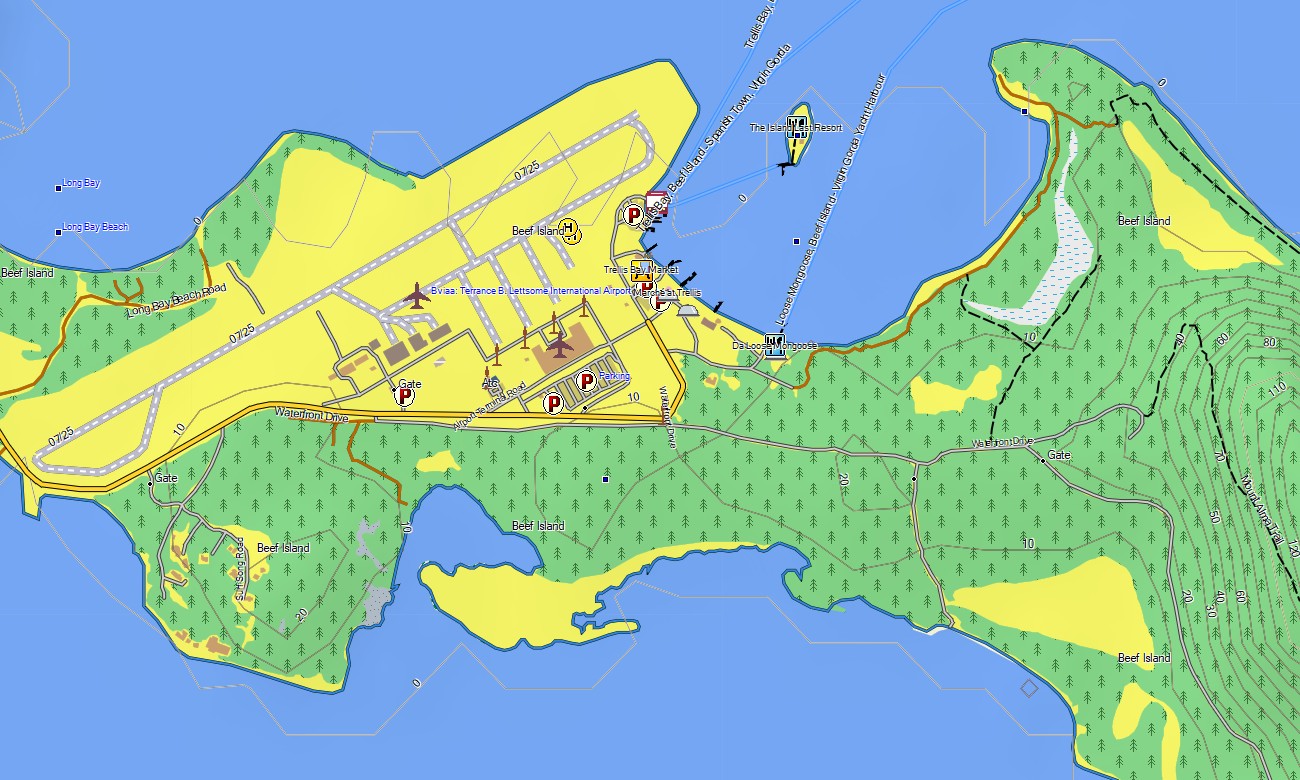
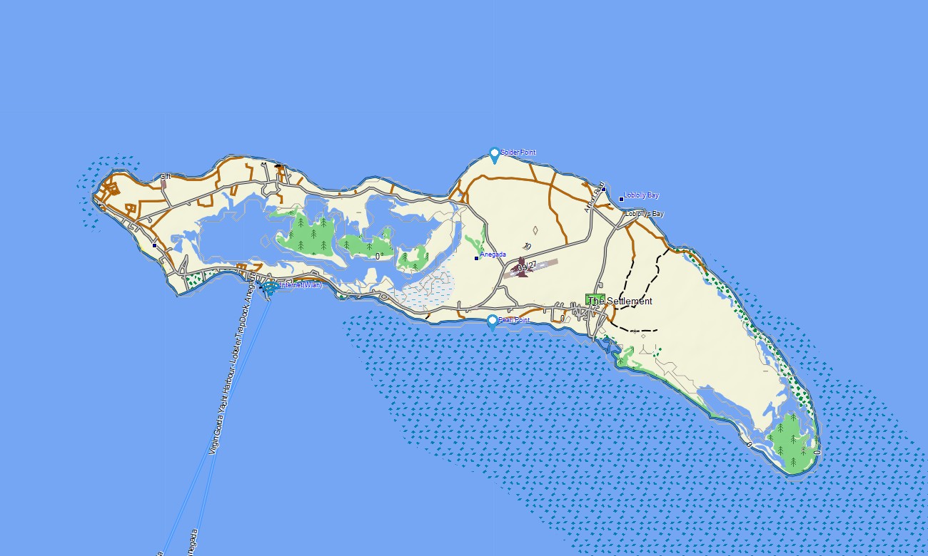
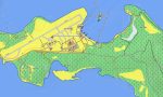
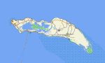
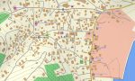
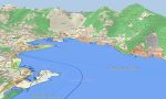
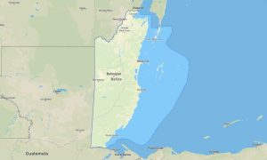
British Virgin Islands Garmin topographic map
$22
British Virgin Islands topo map for Garmin
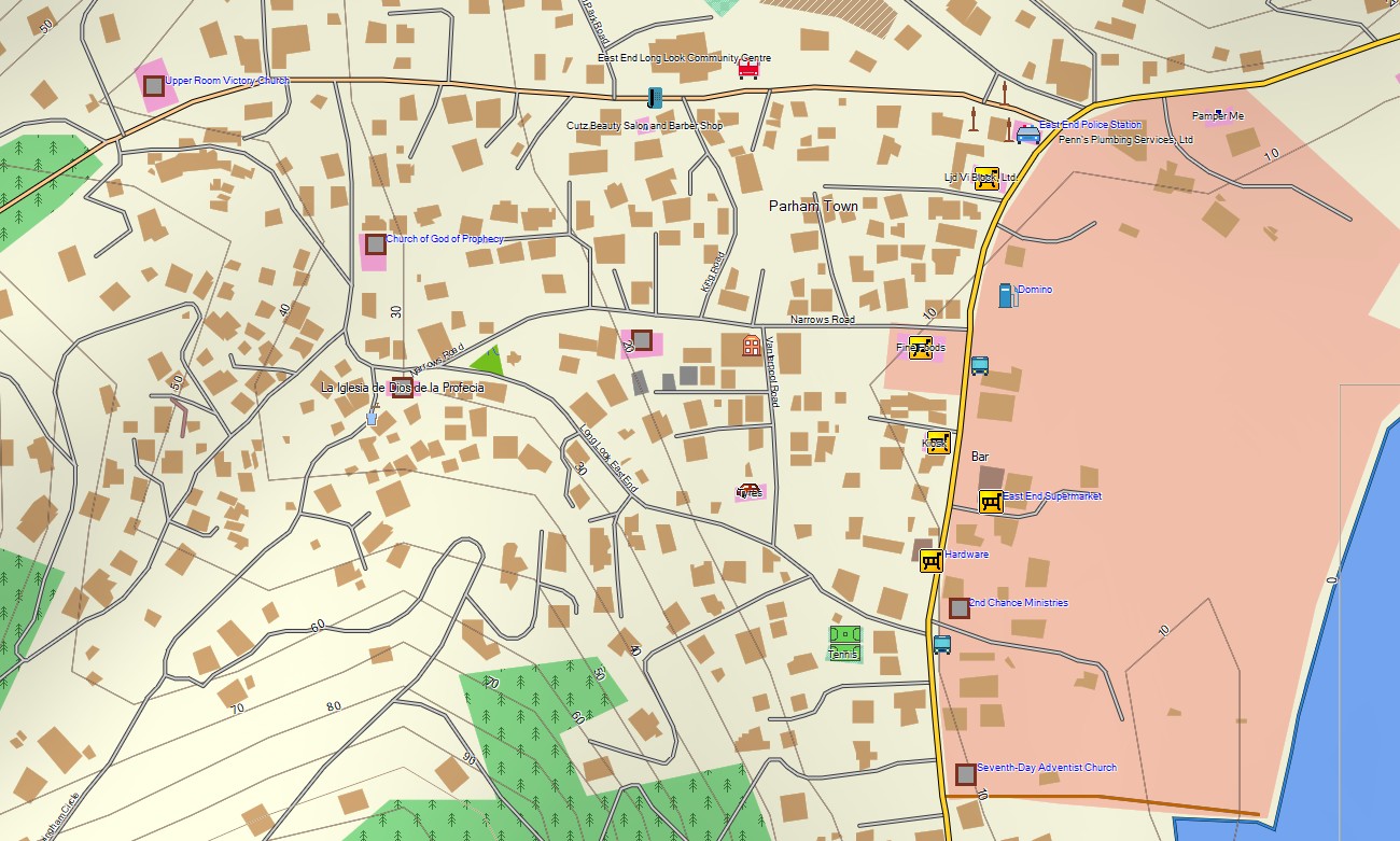
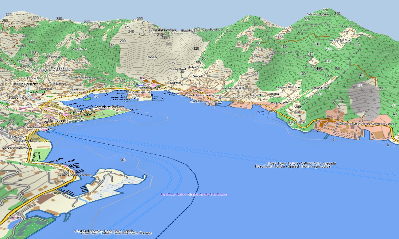
Master the art of island-hopping in this sailor’s paradise with a detailed topographic Garmin map specifically designed for navigating the archipelago’s sheltered waters, hilly islands, and secluded anchorages. This specialized Garmin GPS map provides comprehensive coverage of the main islands like Tortola and Virgin Gorda, along with many smaller cays, offering crucial guidance for both marine and land-based exploration.
Built as an essential OSM map tourist Garmin resource, it supports hiking tours to scenic peaks like Sage Mountain and necessary road trips on islands with developed networks. These vital outdoor maps Garmin sailors and travelers depend on function fully offline where cellular signals are unreliable. Instant download with regular updates included ensures your Garmin map remains an accurate and reliable tool for navigating this dispersed territory.
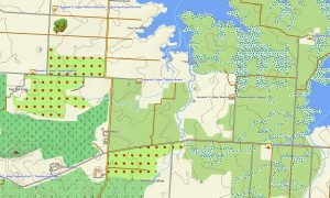
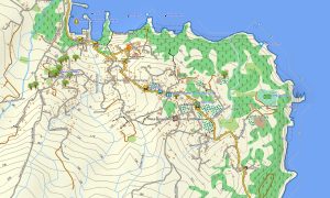
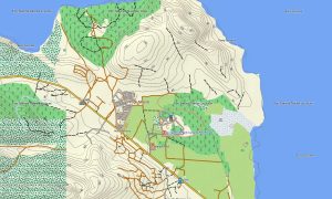
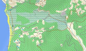
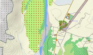
This Garmin GPS map serves as a practical OSM topo map, charting road networks on inhabited islands, intricate coastlines, anchorages, and clear elevation contours for the volcanic hills. The defining geography of sheltered sounds, sandy beaches, mangrove bays, and isolated rocks is clearly displayed, making these topographic maps for Garmin indispensable for planning daily itineraries across multiple islands.
Featuring integrated routing, these maps for Garmin navigator devices allow for route planning and turn-by-turn guidance directly on your GPS for land travel. Whether driving to a marina on Tortola, navigating the roads of Virgin Gorda, or locating a trailhead, this Garmin map provides consistent offline navigation to complement your nautical charts.
The map integrates key layers: road systems on main islands, detailed coastal outlines, and topographic information for general land orientation. After purchase, you get an instant download link; installation is quick, and routine updates keep your Garmin OSM maps precise for this island group.
Key Features:
- Topographic maps for Garmin covering the British Virgin Islands with roads, tracks, coastline, anchorages, and elevation contours
- Natural features such as islands and cays, coral reefs, sandy beaches, mangrove forests, sheltered bays, and volcanic hills
- Complete road coverage on populated islands including main circuits, local streets, and tracks
- Points of interest: urban infrastructure, historical sites, archaeological ruins, viewpoints, lighthouses, monuments, port facilities
- Routing support for driving and navigation on compatible devices for land travel.
- Full compatibility with handheld GPS units, automotive navigators, and as a map for Garmin watch models
Only logged in customers who have purchased this product may leave a review.
Reviews
There are no reviews yet.