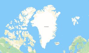
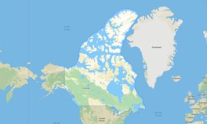
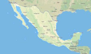
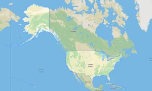
North America offers exceptional travel variety, from Canadian national parks and Alaskan wilderness to United States highways, Mexican deserts, Rocky Mountain trails, Great Lakes routes, and Pacific or Atlantic coastlines. For such diverse journeys, garmin maps provide dependable navigation for drivers, hikers, cyclists, campers, and overland travelers. A reliable garmin gps map is essential when exploring remote forests, mountain passes, canyon roads, desert tracks, or rural areas where mobile internet may be unavailable. A detailed garmin map also helps plan long-distance routes between cities, parks, campsites, scenic viewpoints, and border regions.
Travelers who prefer independent navigation often choose osm map tourist garmin solutions based on OpenStreetMap data. These maps include local roads, walking paths, service tracks, rivers, lakes, shelters, trailheads, and natural landmarks. Professional outdoor maps garmin products are especially useful for hiking in the Appalachians, cycling across national trails, or driving through the Southwest. Before departure, users can download garmin map files and install open street maps garmin data on compatible GPS units. Updated garmin osm maps support confident travel across both urban networks and remote landscapes.
Maps for garmin navigator devices are practical for road trips, RV routes, motorcycle touring, and off-road adventures, while a map for garmin watch helps runners and hikers follow routes directly from the wrist. In rugged areas, an osm topo map and osm topographic maps provide elevation contours and terrain details. Accurate topographic maps for garmin, combined with a garmin gps map, improve safety, route planning, and offline navigation throughout North America.