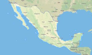
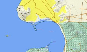
Mexico is a diverse destination for road trips, hiking, cycling, overlanding, beach travel, and cultural exploration. Detailed Garmin maps help travelers navigate from Mexico City, Guadalajara, and Monterrey to Baja California deserts, Sierra Madre mountains, Yucatán cenotes, Pacific coast roads, and remote archaeological sites. A reliable Garmin GPS map provides stable offline guidance where mobile coverage is weak, while a regional Garmin map supports confident travel through cities, villages, highways, and rural tracks.
An OSM map tourist Garmin solution based on OpenStreetMap data is especially useful for independent explorers who need updated local information. High-quality outdoor maps Garmin products include roads, trails, rivers, lakes, viewpoints, campsites, small settlements, beaches, and protected areas. Before departure, users can download Garmin map files and install open street maps Garmin data on compatible devices. Updated Garmin OSM maps improve route planning for mountain drives, jungle paths, desert routes, and coastal journeys.
Maps for Garmin navigator devices are practical for car travel, motorcycle touring, RV routes, and off-road adventures. A map for Garmin watch helps hikers, runners, and cyclists follow routes directly from the wrist. An OSM topo map and OSM topographic maps display elevation contours and terrain details, while topographic maps for Garmin combine accurate GPS positioning, offline access, and safe navigation across Mexico.
Showing the single result