
Mexico Garmin topographic map
$36
Mexico topo map for Garmin
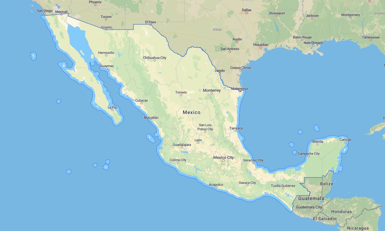
Mexico offers rich navigation variety, from Baja California deserts and Sierra Madre mountains to colonial cities, volcanic parks, Pacific beaches, Caribbean resorts, jungles, cenotes, and archaeological routes. Detailed Garmin maps help travelers explore Mexico City, Guadalajara, Monterrey, Cancún, Mérida, Oaxaca, Puebla, Tijuana, and rural recreation regions.
This Garmin GPS map is made for road trips, hiking, cycling, camping, overland travel, cultural tourism, and national park access. As an OSM map tourist Garmin product, the Garmin map supports offline movement through dense cities, mountain villages, desert tracks, rainforest roads, and remote coastal areas.
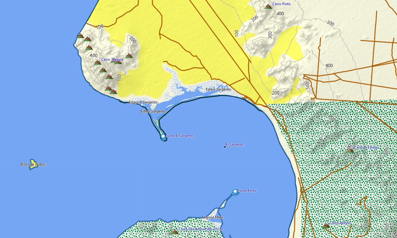
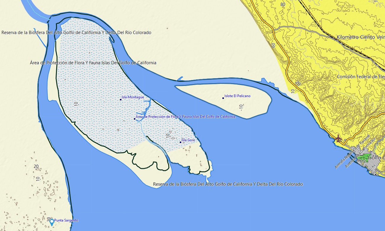
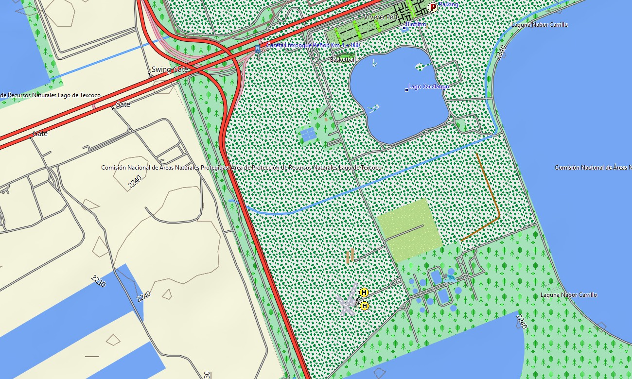
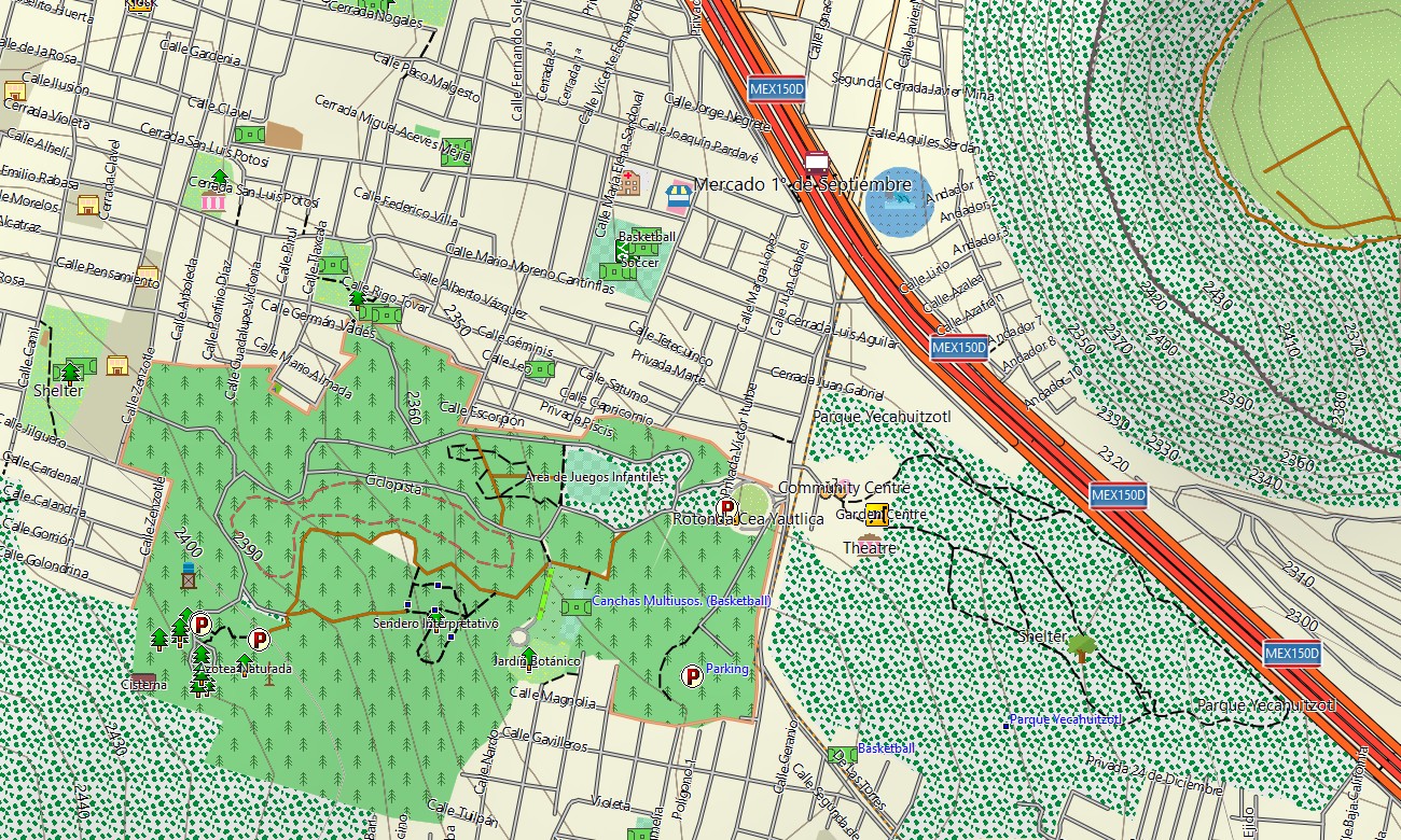
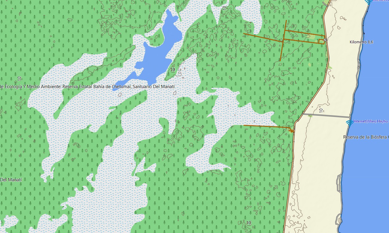
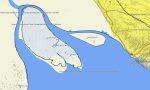
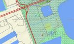
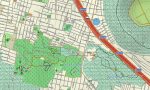
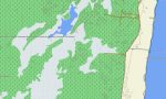
Functioning as an OSM topo map, this Garmin GPS map displays highways, local streets, village roads, rural tracks, trails, rivers, lakes, reservoirs, coastlines, islands, canyons, volcanoes, forests, and elevation contours. Based on open street maps Garmin compatible sources, the OSM topographic maps improve terrain awareness.
Maps for Garmin navigator devices support routing through metropolitan areas, resort corridors, border zones, mountain highways, and countryside connectors where compatible. A map for Garmin watch is convenient for runners, hikers, cyclists, and travelers exploring urban paths or outdoor routes hands-free.
Before departure, customers can download Garmin map files and install Garmin OSM maps on supported devices. These topographic maps for Garmin provide dependable offline guidance for long-distance driving, trail access, beach travel, and independent discovery across Mexico.
Key Features:
- Topographic maps for Garmin cover Mexico with federal highways, urban streets, rural roads, desert tracks, forest paths, trails, rivers, lakes, reservoirs, coastlines, beaches, volcanoes, and elevation contours
- Natural features include Baja California deserts, Sierra Madre ranges, tropical forests, canyons, cenotes, lagoons, mangroves, islands, volcanic landscapes, and Caribbean or Pacific shorelines
- Road coverage includes Mexico City, Guadalajara, Monterrey, Cancún, Mérida, Oaxaca, Puebla, Tijuana, resort zones, border crossings, mountain highways, rural connectors, and park access roads
- Points of interest include archaeological sites, missions, historic centers, viewpoints, trailheads, campgrounds, harbors, beaches, national parks, visitor facilities, and cultural landmarks
- Routing support works on compatible Garmin navigation devices for city driving, road touring, cycling access, hiking approaches, and regional travel
- The map is suitable for handheld GPS units, automotive navigators, outdoor receivers, and selected Garmin watch models
Only logged in customers who have purchased this product may leave a review.
Reviews
There are no reviews yet.