
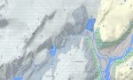
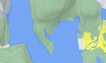
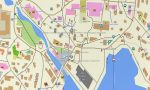
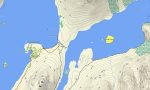
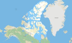
Greenland Garmin topographic map
$29
Greenland topo map for Garmin
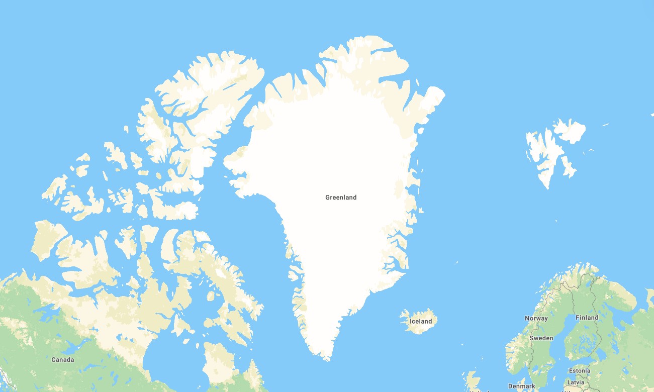
Greenland is an extreme Arctic destination where Garmin maps are essential for navigating coastal settlements, fjords, tundra valleys, glacier viewpoints, and remote hiking areas. A reliable Garmin GPS map helps users maintain offline orientation around Nuuk, Ilulissat, Sisimiut, Qaqortoq, Kangerlussuaq, Tasiilaq, and Disko Bay.
This Garmin map is designed for expedition planning, fieldwork, local travel, hiking, wildlife observation, and coastal access support. Built as an OSM map tourist Garmin solution, it provides practical mapped detail where available. These outdoor maps Garmin users rely on are valuable in regions with limited mobile coverage.
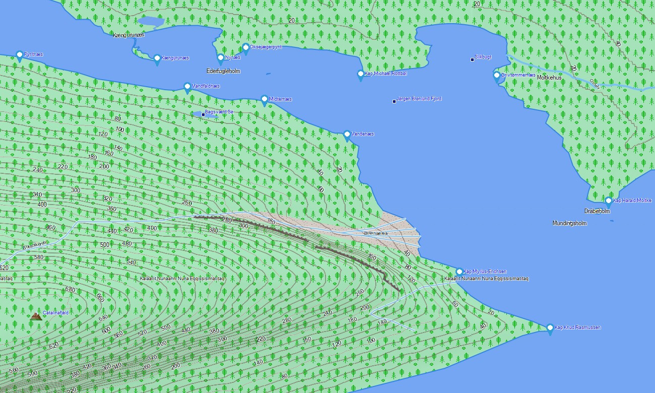
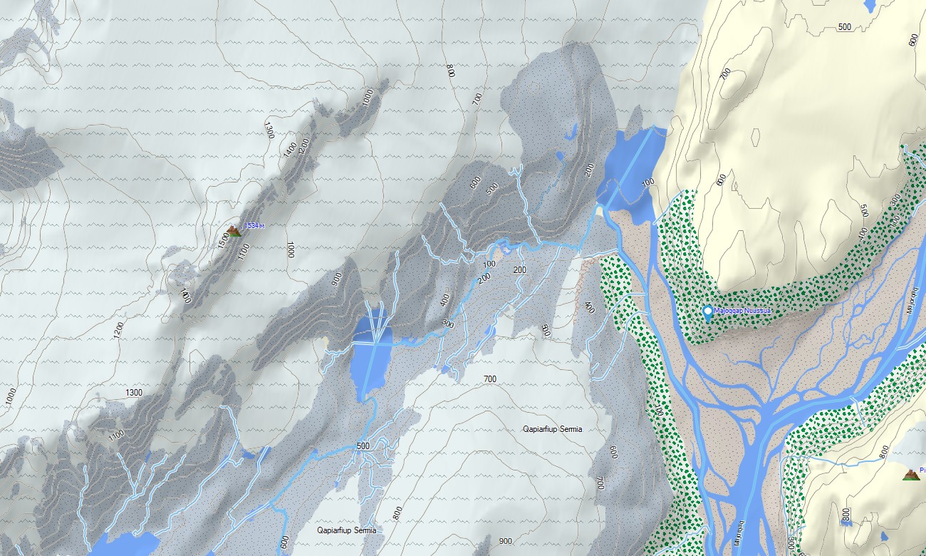
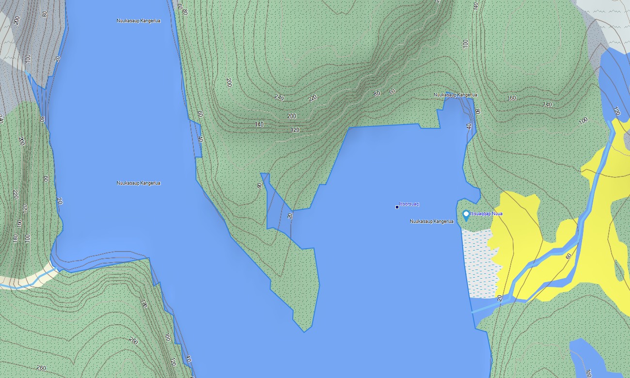
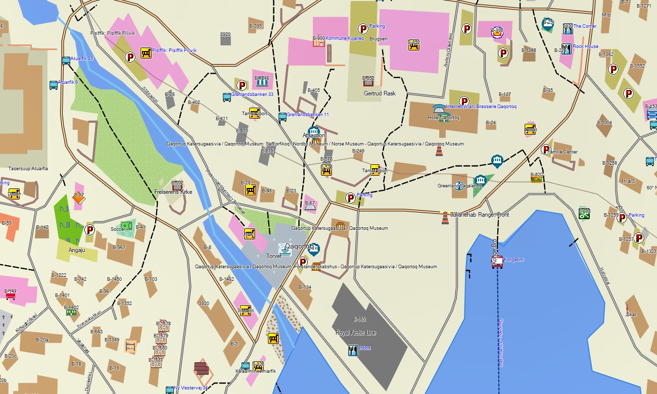
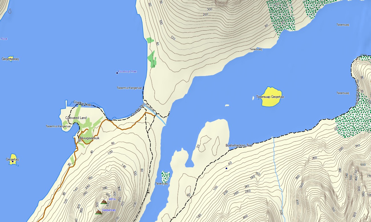
The product works as an OSM topo map, displaying settlement streets, tracks, paths, rivers, lakes, fjords, coastlines, islands, valleys, glaciers, and elevation contours. This Garmin GPS map is created from open street maps Garmin compatible data, while OSM topographic maps help interpret slopes, ridges, cliffs, and ice-margin terrain.
Maps for Garmin navigator devices can support local routing where data allows, while a map for Garmin watch is useful for hikers, researchers, runners, and expedition travelers who need quick route access on the wrist.
After purchase, users can download Garmin map files and install Garmin OSM maps on compatible devices before traveling. These topographic maps for Garmin support offline Arctic navigation and safer route planning across Greenland’s remote landscapes.
Key Features:
- Topographic maps for Garmin cover Greenland with settlement streets, mapped tracks, hiking paths, rivers, lakes, fjords, coastlines, islands, glaciers, tundra zones, and elevation contours
- Natural layers highlight Arctic plateaus, ice margins, rocky ridges, deep valleys, sea cliffs, fjord systems, remote lakes, and mountain terrain
- Road and path detail focuses on Nuuk, Ilulissat, Sisimiut, Qaqortoq, Kangerlussuaq, Tasiilaq, harbors, airports, local access routes, and mapped community connections
- Points of interest include campsites, viewpoints, trailheads, shelters, cultural places, boat facilities, visitor services, and field navigation landmarks
- Routing support depends on compatible Garmin devices and available data, with strong offline value for handheld GPS units, outdoor receivers, selected automotive devices, and supported watch models
- The package helps travelers compare terrain, water crossings, settlement access, and return routes before remote Arctic excursions
Only logged in customers who have purchased this product may leave a review.
Reviews
There are no reviews yet.