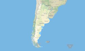
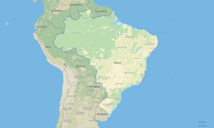
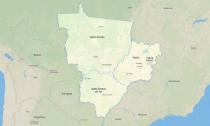
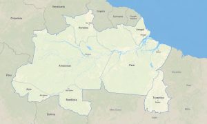
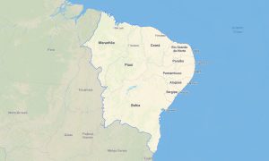
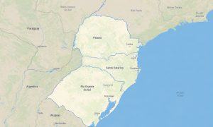
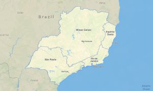
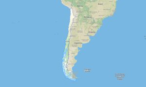
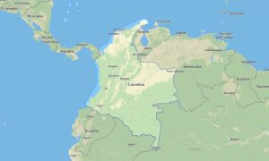
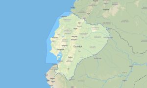
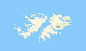
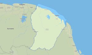
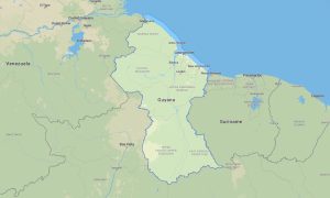
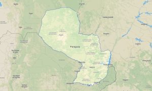
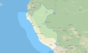
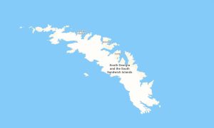
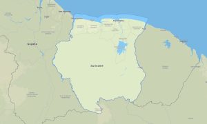
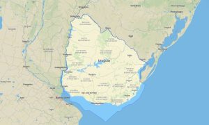
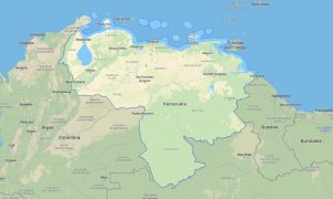
South America attracts travelers with endless opportunities for adventure tourism, scenic road journeys, off-road exploration, mountain trekking, and long-distance cycling routes. Advanced Garmin navigation maps allow users to comfortably travel through tropical jungles, high mountain passes, volcanic regions, coastal highways, and isolated wilderness areas. A high-quality Garmin GPS map ensures stable offline navigation across paved roads, gravel tracks, and remote backcountry routes throughout South America. OSM map tourist Garmin solutions built with OpenStreetMap data are highly valued by explorers who require accurate navigation without mobile coverage.
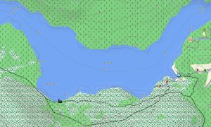
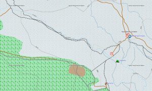
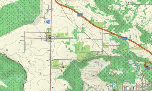
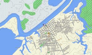
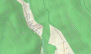
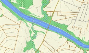
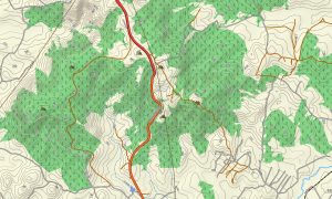
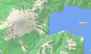
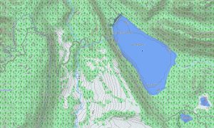
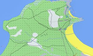
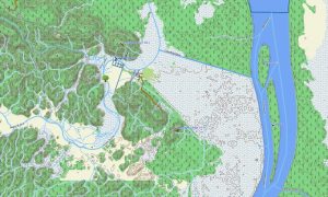
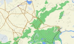
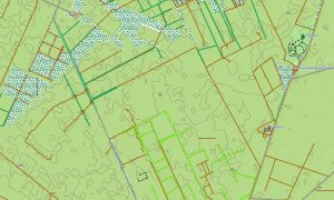
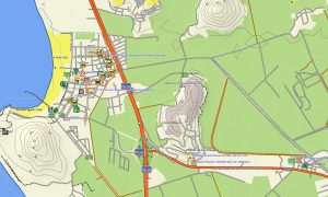
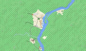
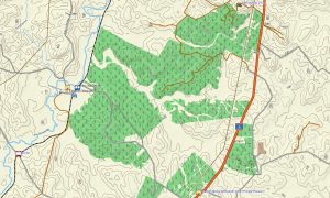
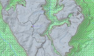
Detailed outdoor maps Garmin products include extensive information about roads, footpaths, bridges, rivers, small settlements, viewpoints, camping locations, and protected natural territories. Integrated topographic layers and elevation contours help travelers accurately assess terrain complexity, altitude differences, and difficult mountain sections during expeditions. Maps for Garmin navigator devices work perfectly for overlanding, motorcycle adventures, hiking tours, and bicycle travel across South American landscapes. Users can quickly install Garmin map downloads onto their devices before starting remote travel routes.
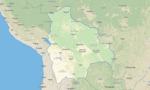
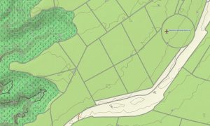
OSM topo map collections deliver precise navigation data for both metropolitan areas and untouched natural environments. A map for Garmin watch models provides practical support for active travelers, runners, hikers, and cyclists during outdoor activities. Topographic maps for Garmin combine accurate GPS positioning, efficient route management, and reliable offline guidance for safe and memorable journeys across South America.
Showing all 20 results