
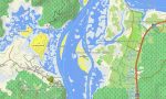
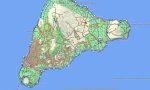
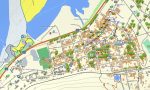
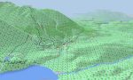
Chile Garmin topographic map
$32
Chile topo map for Garmin
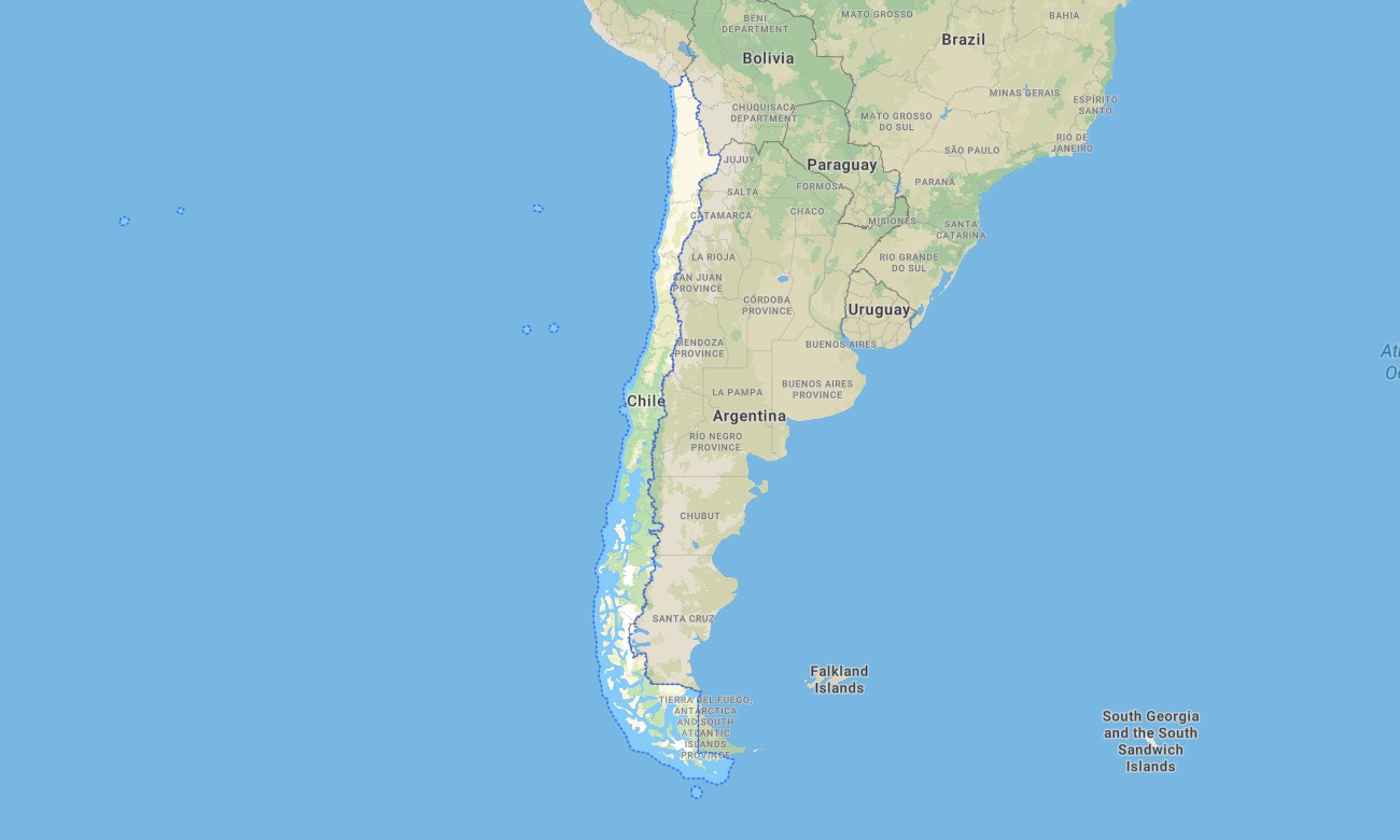
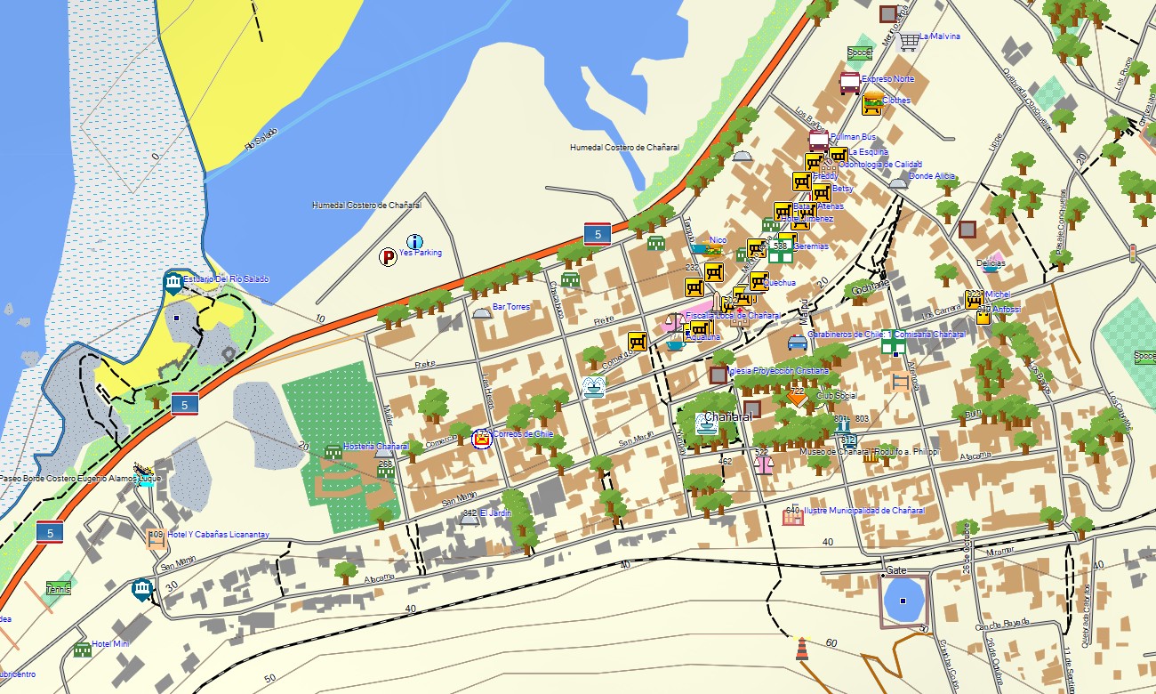
Experience the ultimate longitudinal journey with a detailed topographic Garmin map designed to guide you through Chile’s extraordinary geography, from the arid Atacama Desert to the glaciers of Patagonia. This comprehensive Garmin GPS map provides full coverage across the narrow nation, including the Andes Mountains, the Central Valley, and the fjord-indented coastline, delivering reliable navigation for diverse adventures.
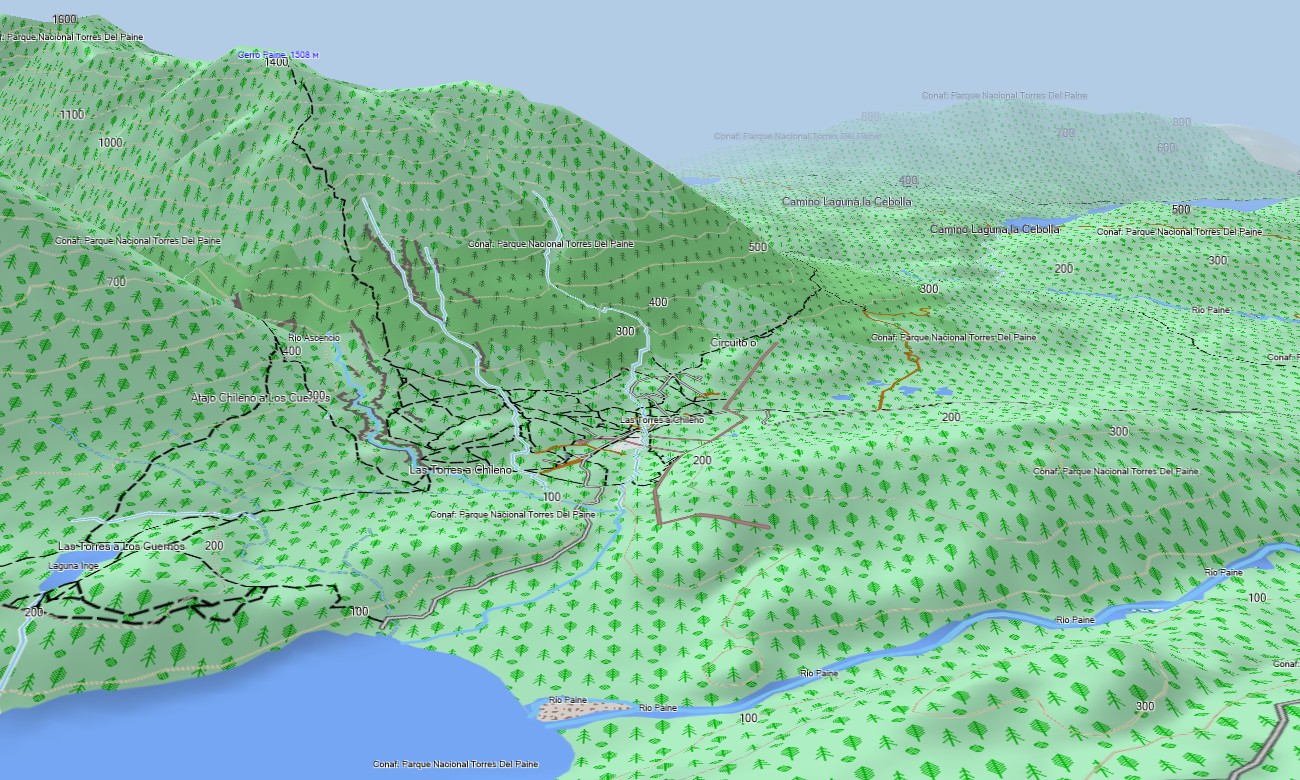
Built as an essential OSM map tourist Garmin resource, it supports challenging hiking tours in Torres del Paine and scenic road trips along the Carretera Austral. These dependable outdoor maps Garmin travelers rely on function fully offline. Instant download with regular free updates included ensures your Garmin map remains a precise and up-to-date guide for every Garmin device.
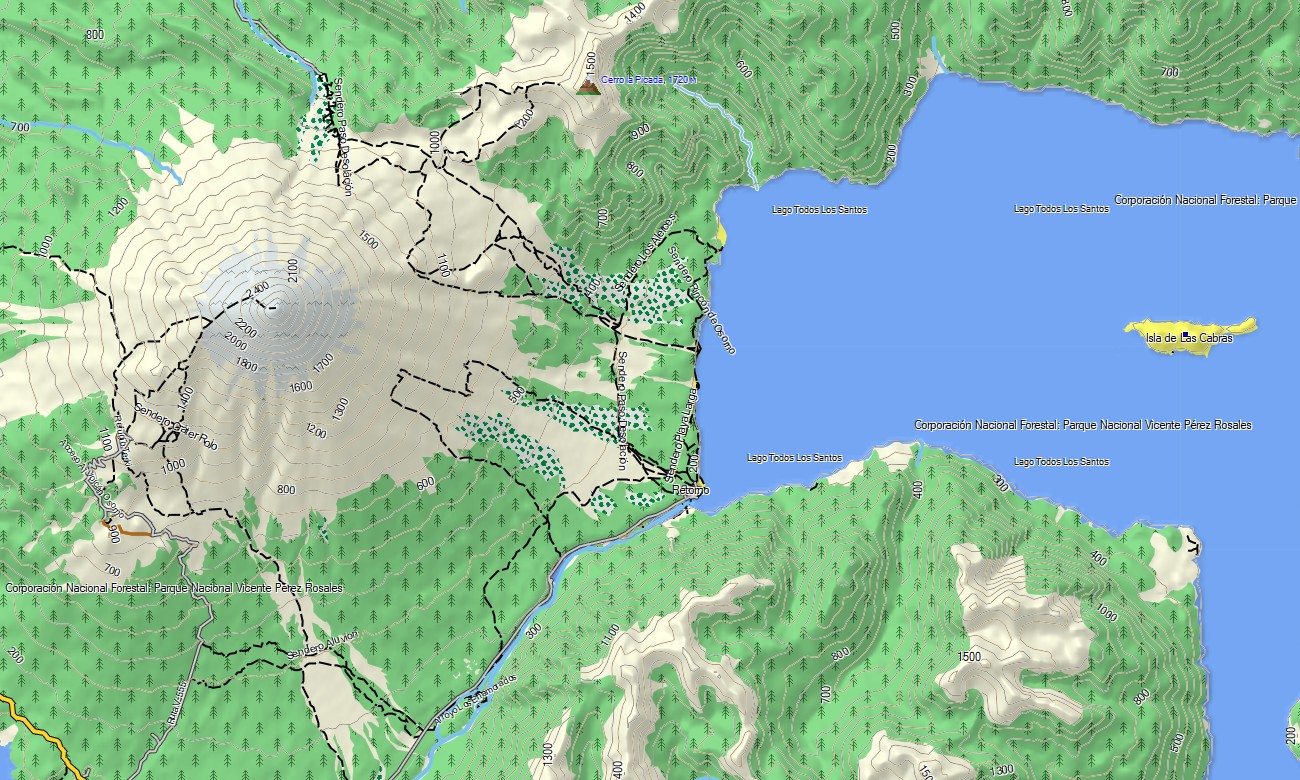
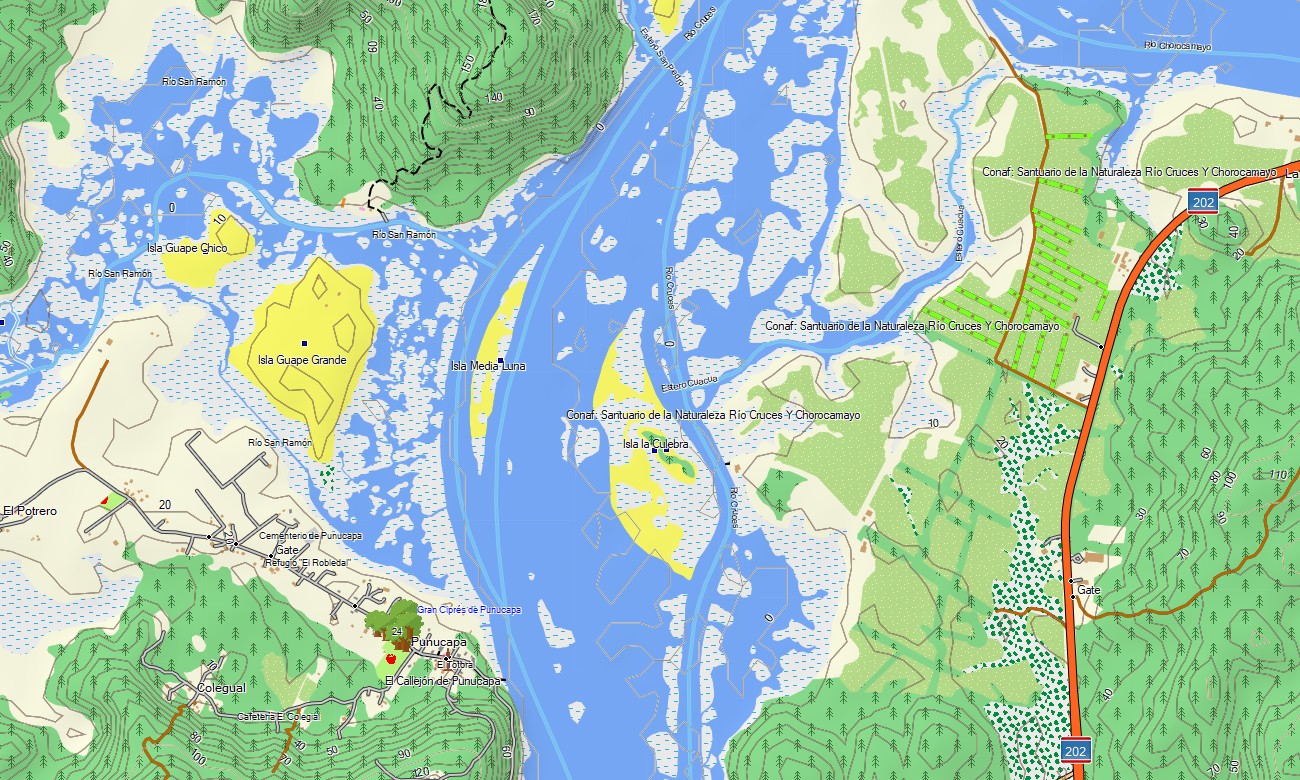
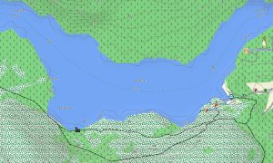
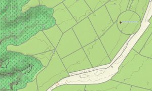
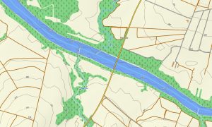
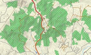
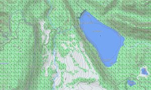
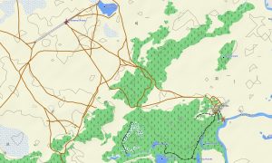
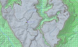
This Garmin GPS map serves as a versatile OSM topo map, meticulously charting the Pan-American Highway, remote mountain passes, river networks, and detailed elevation contours. Unique features like salt flats, active volcanic zones, temperate rainforests, and sprawling ice fields are clearly displayed, making these topographic maps for Garmin indispensable for safe exploration of extreme environments.
With built-in routing, these maps for Garmin navigator devices allow for seamless planning and turn-by-turn guidance directly on your GPS. Whether driving through the wine valleys, navigating high-altitude border crossings, or exploring coastal towns, this Garmin map ensures consistent offline navigation.
The map integrates several key layers: complete road networks for longitudinal travel, detailed street plans for cities like Santiago, and comprehensive topographic data for Andean and coastal exploration. After purchase, you receive an instant download link; installation is quick, and scheduled updates keep your download Garmin map accurate and reliable.
Key Features:
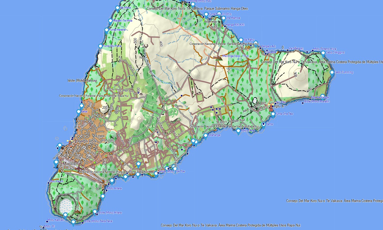
- Topographic maps for Garmin covering Chile with roads, tracks, trails, rivers, lakes, glaciers, and elevation contours
- Natural features such as mountain ranges, deserts, fjords, volcanoes, temperate forests, valleys, and coastlines
- Complete road coverage including the Pan-American Highway, regional routes, urban streets, and remote rural connections
- Points of interest:urban infrastructure, historical ports, archaeological sites, ruins, mining areas, mountain peaks, viewpoints, lighthouses, astronomical observatories, border crossings
- Routing support for driving and long-distance navigation on compatible devices
- Full compatibility with handheld GPS units, automotive navigators, and as a map for Garmin watch models
Only logged in customers who have purchased this product may leave a review.
Reviews
There are no reviews yet.