
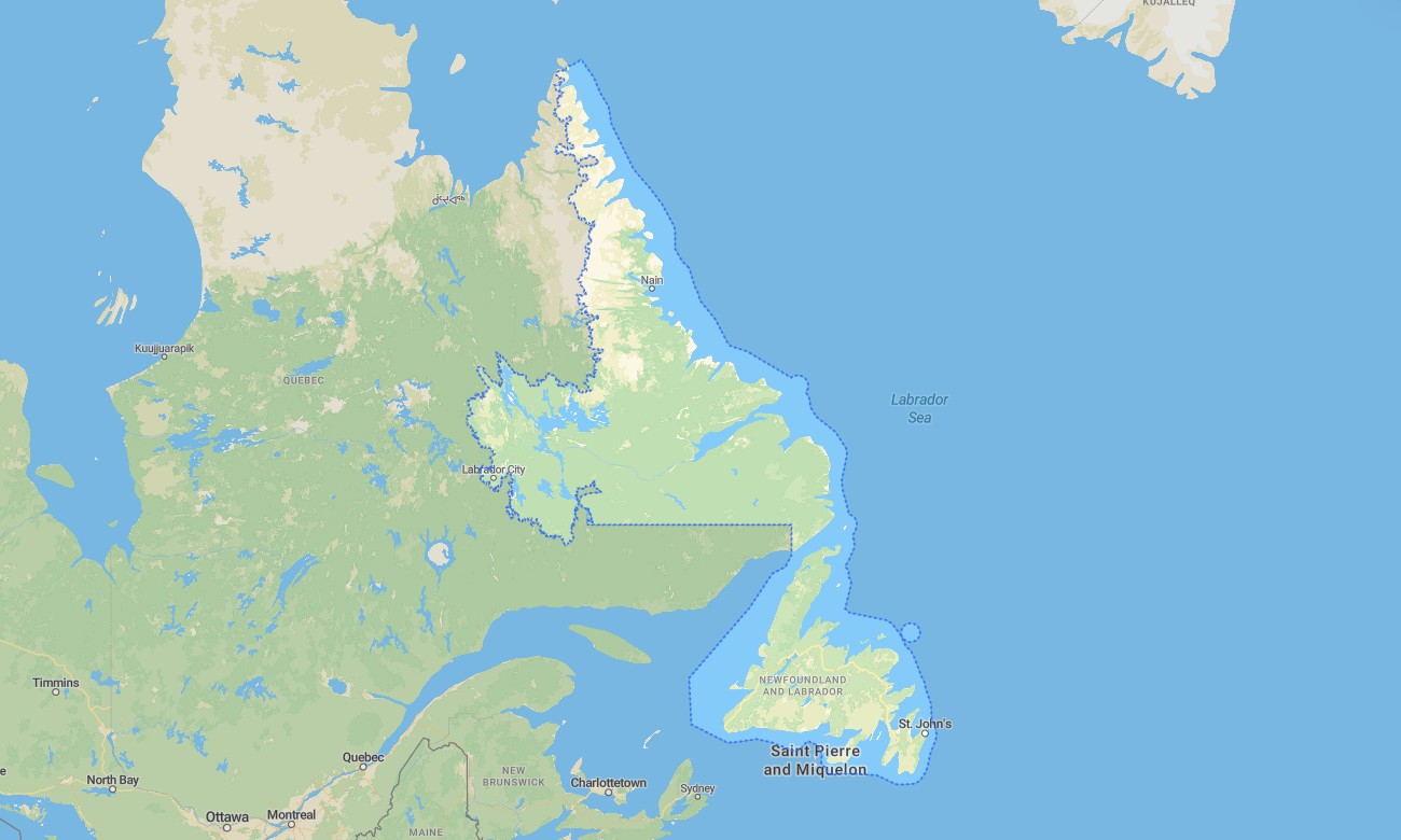
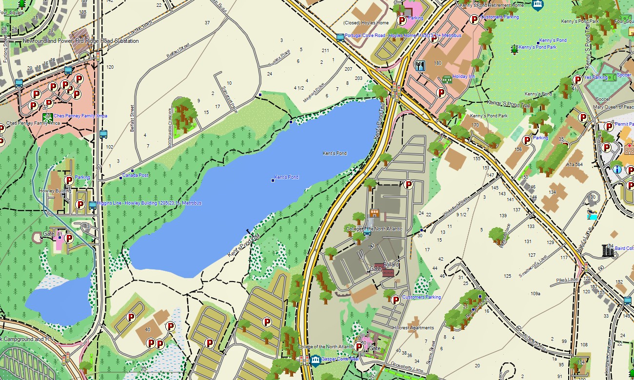
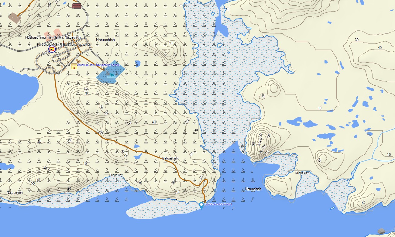
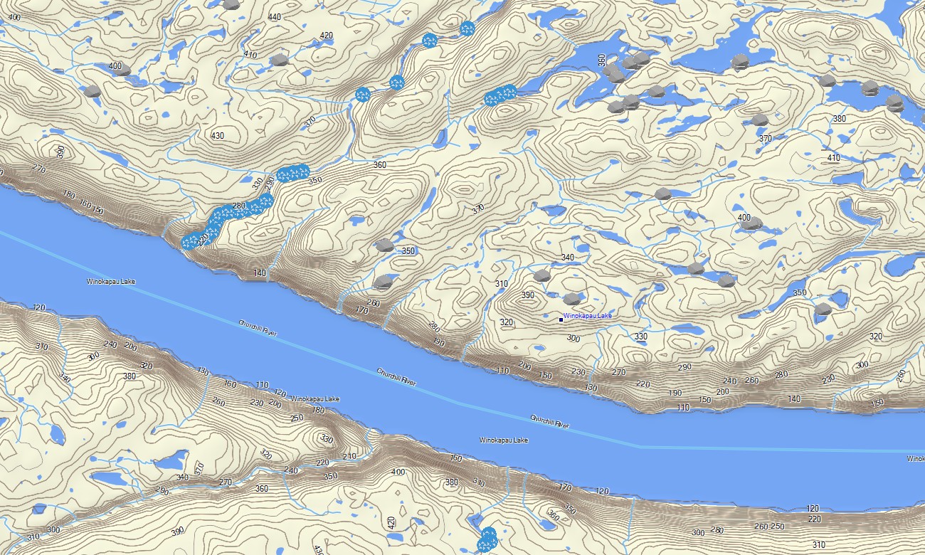
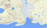
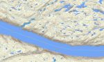
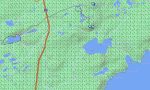
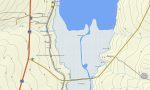
Newfoundland and Labrador Garmin topographic map
$25
Newfoundland and Labrador topo map for Garmin
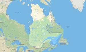
Newfoundland and Labrador offers some of the most dramatic navigation environments in Atlantic Canada, from the fjords of Gros Morne and the Viking heritage coast of L’Anse aux Meadows to Labrador wilderness roads, fishing villages, offshore islands, and exposed North Atlantic shorelines. Detailed Garmin maps help travelers explore this rugged province with confidence, while a reliable Garmin GPS map supports offline navigation far beyond urban mobile coverage.
This Garmin map is useful for road touring, coastal driving, hiking, kayaking support routes, snowmobile access planning, and remote outdoor travel. Built as an OSM map tourist Garmin solution, it includes practical detail for visitors moving between St. John’s, Corner Brook, Happy Valley-Goose Bay, Terra Nova National Park, the Viking Trail, and isolated communities. These outdoor maps Garmin users rely on are especially valuable where weather changes quickly and services are limited.
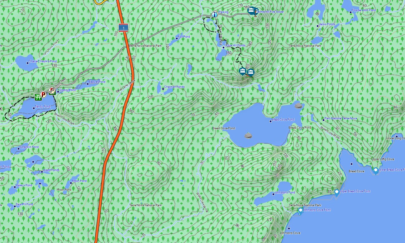
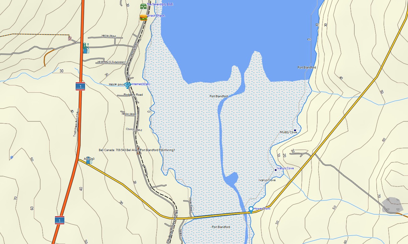
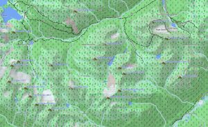
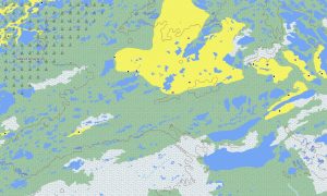
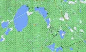
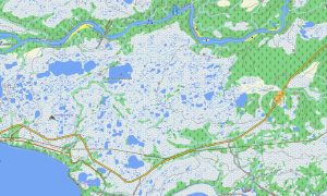
The province’s complex terrain requires more than basic road guidance. This Garmin GPS map functions as an OSM topo map, showing roads, trails, rivers, lakes, bays, cliffs, ferry routes, forest tracks, and elevation contours. With OSM topographic maps, users can better understand coastal headlands, river valleys, plateau country, and the steep terrain around Gros Morne National Park.
For driving across the Trans-Canada Highway, locating ferry terminals, or planning backcountry access, maps for Garmin navigator devices provide dependable guidance on compatible units. Hikers, runners, and cyclists can also benefit from a map for Garmin watch when following routes near coastal paths, park trails, and rural roads.
Created from open street maps Garmin compatible data and included in our Garmin OSM maps collection, this product combines transportation, outdoor, settlement, and terrain information. After purchase, users can download Garmin map files for quick installation. These topographic maps for Garmin are designed for safe, independent travel across Newfoundland and Labrador.
Key Features:
- Topographic maps for Garmin covering Newfoundland and Labrador with highways, coastal roads, rural tracks, ferries, trails, rivers, lakes, bays, islands, forests, and elevation contours
- Natural features include Gros Morne fjords, Labrador plateaus, Atlantic cliffs, boreal forests, Terra Nova landscapes, large reservoirs, and remote coastal peninsulas
- Road coverage includes the Trans-Canada Highway, Viking Trail, Labrador routes, local streets, park access roads, and community connectors
- Points of interest include ferry terminals, harbors, campgrounds, viewpoints, lighthouses, historic sites, trailheads, protected areas, and visitor facilities
- Routing support works on compatible Garmin devices for touring, outdoor recreation, and long-distance provincial travel
Only logged in customers who have purchased this product may leave a review.
Reviews
There are no reviews yet.