
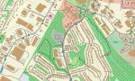
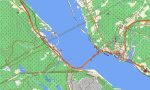
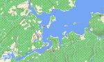
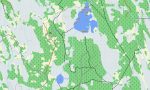
Nova Scotia Garmin topographic map
$25
Nova Scotia topo map for Garmin
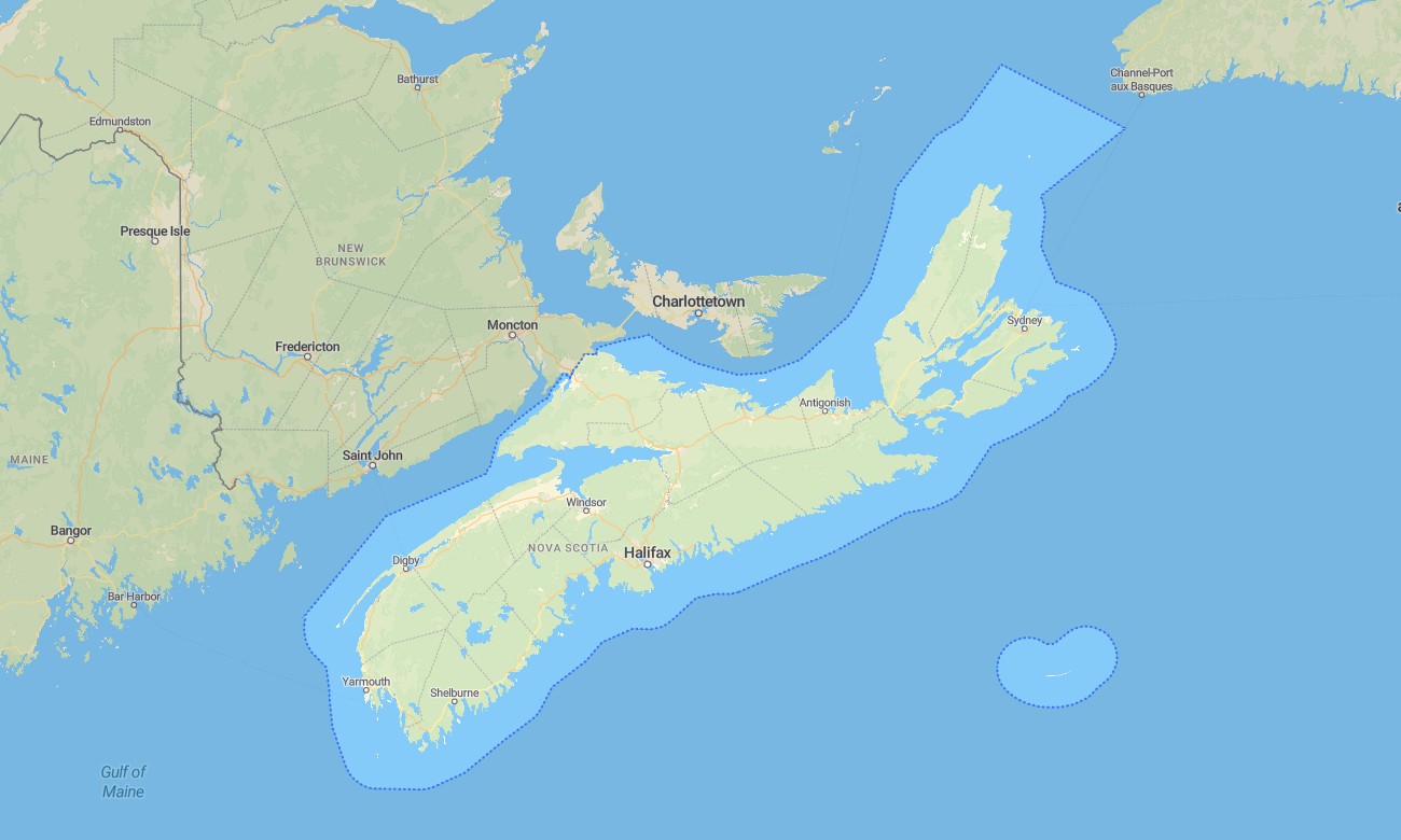
Nova Scotia combines Atlantic coastline, highland roads, historic towns, forest trails, tidal bays, islands, and scenic touring routes into one of Canada’s most rewarding travel regions. Detailed Garmin maps help visitors navigate Halifax, Cape Breton, the South Shore, the Annapolis Valley, and the Bay of Fundy. A reliable Garmin GPS map keeps navigation available on coastal roads, rural peninsulas, and park routes where mobile coverage may vary.
This Garmin map supports road trips, hiking, cycling, lighthouse touring, camping, and outdoor travel across the province. Developed as an OSM map tourist Garmin solution, it is useful for exploring the Cabot Trail, Kejimkujik National Park, Peggy’s Cove, Cape Breton Highlands, and small coastal communities. These outdoor maps Garmin travelers depend on provide essential detail for both popular destinations and quiet backroads.
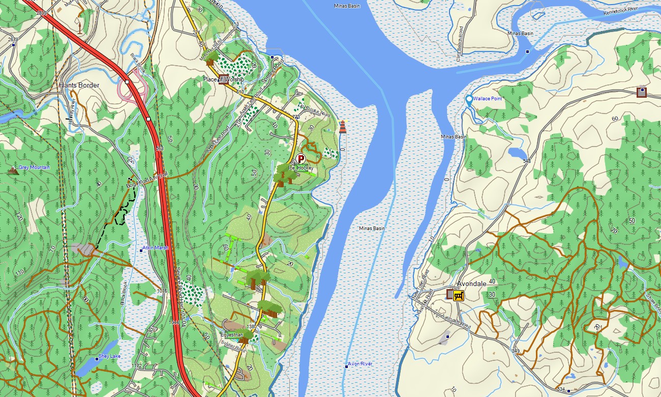
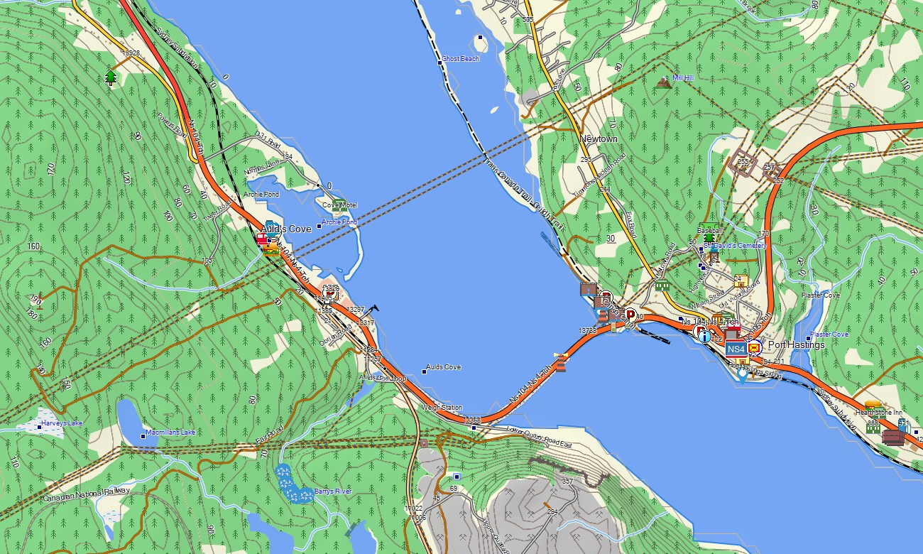
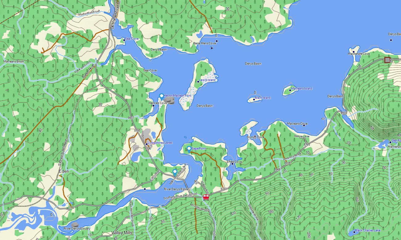
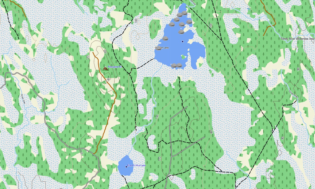
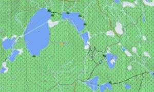
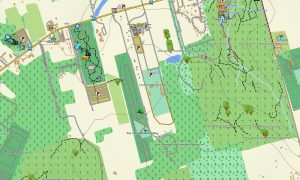
Nova Scotia’s geography requires accurate terrain and shoreline information. This Garmin GPS map works as an OSM topo map with highways, local roads, trails, rivers, lakes, wetlands, coastlines, bays, islands, ferry connections, and elevation contours. These OSM topographic maps help users understand the steep grades of Cape Breton, tidal landscapes around the Bay of Fundy, and forested interior areas.
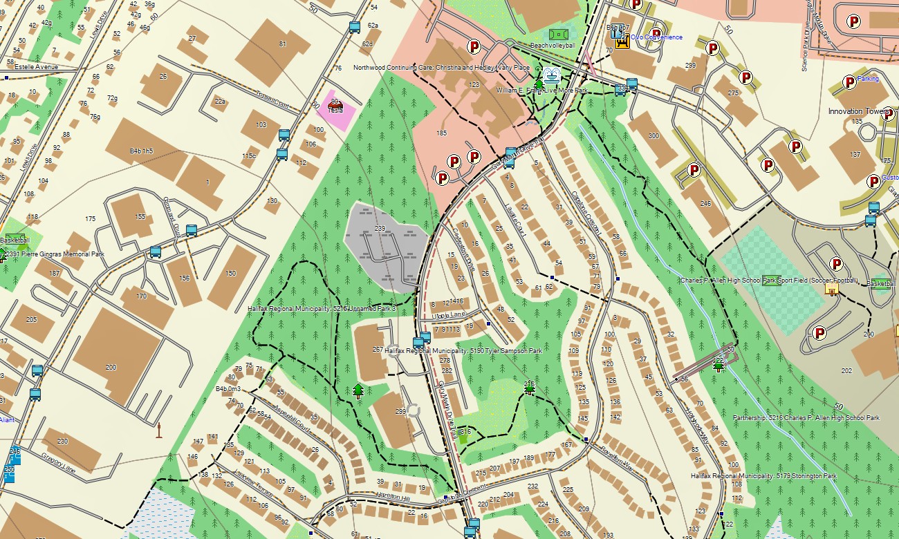
Maps for Garmin navigator units are convenient for driving through Halifax, following coastal loops, locating ferry terminals, or reaching campgrounds and trailheads. A map for Garmin watch is useful for runners, hikers, and cyclists on waterfront routes, woodland trails, and national park paths.
Produced from open street maps Garmin compatible data and maintained in our Garmin OSM maps series, the product combines transportation networks, outdoor features, POIs, and terrain layers. After purchase, users can download Garmin map files and install them quickly on supported devices. These topographic maps for Garmin are built for accurate offline navigation throughout Nova Scotia.
Key Features:
- Topographic maps for Garmin covering Nova Scotia with roads, trails, rivers, lakes, wetlands, coastlines, islands, ferry routes, forests, and elevation contours
- Natural features include Cape Breton Highlands, Bay of Fundy tides, Atlantic beaches, South Shore coves, Annapolis Valley, Bras d’Or Lake, headlands, and forest interiors
- Road coverage includes provincial highways, scenic coastal routes, town streets, rural lanes, park roads, ferry approaches, and campground access roads
- Points of interest include lighthouses, harbors, historic forts, viewpoints, beaches, campgrounds, trailheads, marinas, museums, and protected areas
- Routing support helps compatible Garmin devices provide offline guidance for road touring, hiking access, cycling, and coastal exploration
Only logged in customers who have purchased this product may leave a review.
Reviews
There are no reviews yet.