
Ontario Garmin topographic map
$25
Ontario topo map for Garmin
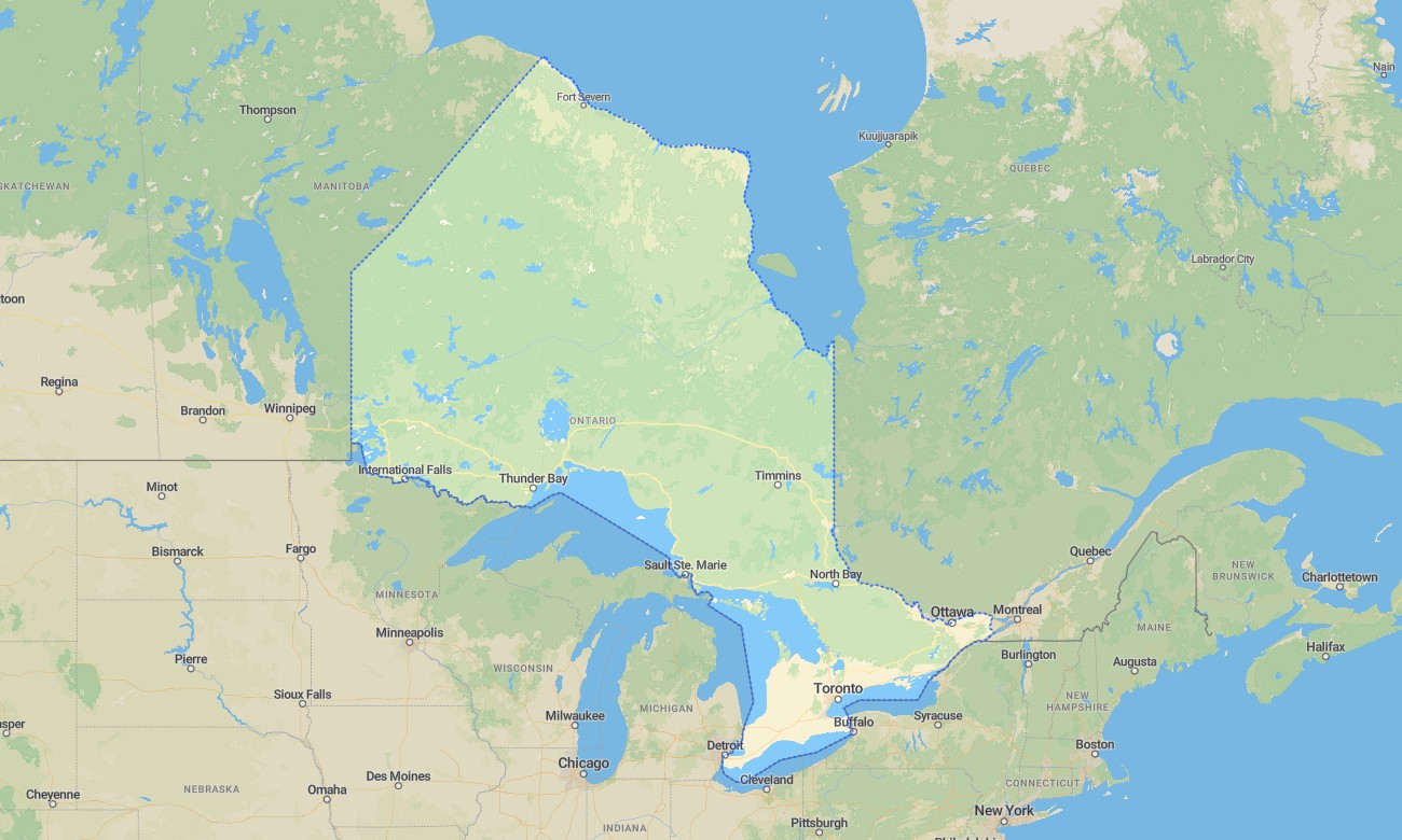
Ontario covers enormous travel variety, from Toronto’s urban network and Ottawa’s capital region to the Great Lakes, Niagara Escarpment, Algonquin forests, northern mining towns, and remote boreal highways. Detailed Garmin maps help users navigate Canada’s most populous province with confidence. A dependable Garmin GPS map is essential for offline travel across cottage country, provincial parks, wilderness roads, and long northern distances.
This Garmin map supports city driving, road trips, hiking, paddling access, cycling, camping, and overland-style travel. Created as an OSM map tourist Garmin resource, it is useful for exploring Niagara Falls, Bruce Peninsula, Muskoka, Algonquin Park, Lake Superior shorelines, Manitoulin Island, and the Trans-Canada corridor. These outdoor maps Garmin travelers depend on work well where forests, lakes, and rural areas interrupt mobile service.
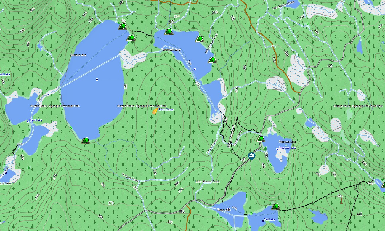
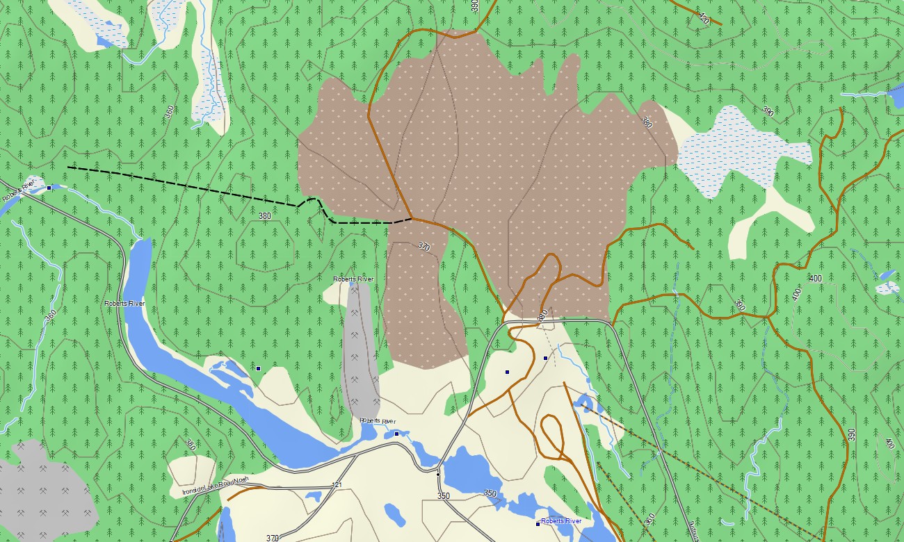
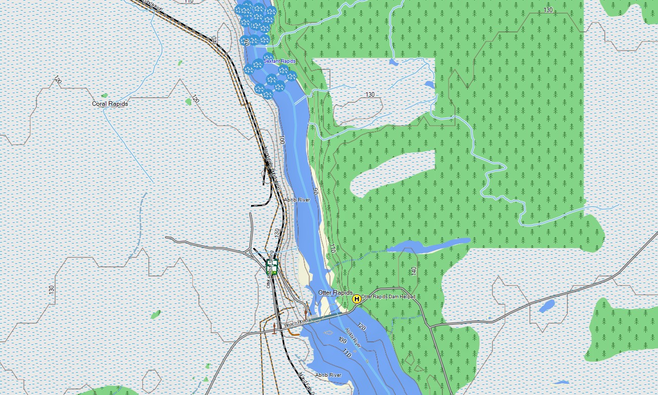
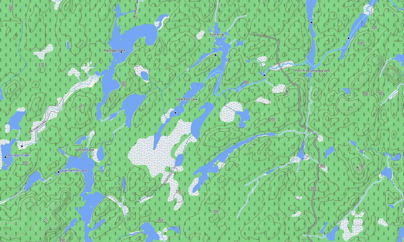
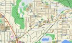
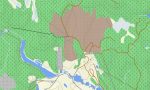
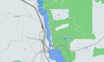
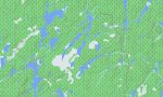
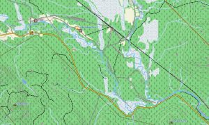
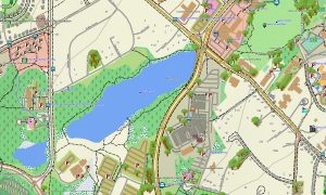
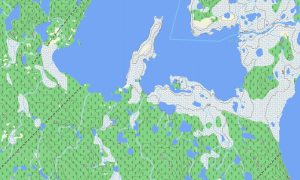
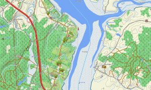
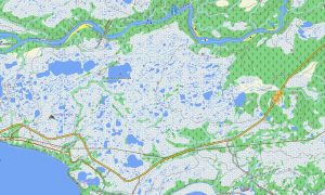
Ontario’s landscape includes major highways, urban regions, thousands of lakes, shield terrain, wetlands, islands, and long stretches of forest. This Garmin GPS map functions as an OSM topo map with roads, trails, rivers, lakes, reservoirs, ferry links, rail corridors, coastlines, and elevation contours. The OSM topographic maps help users understand escarpments, lake basins, portage access areas, and northern terrain.
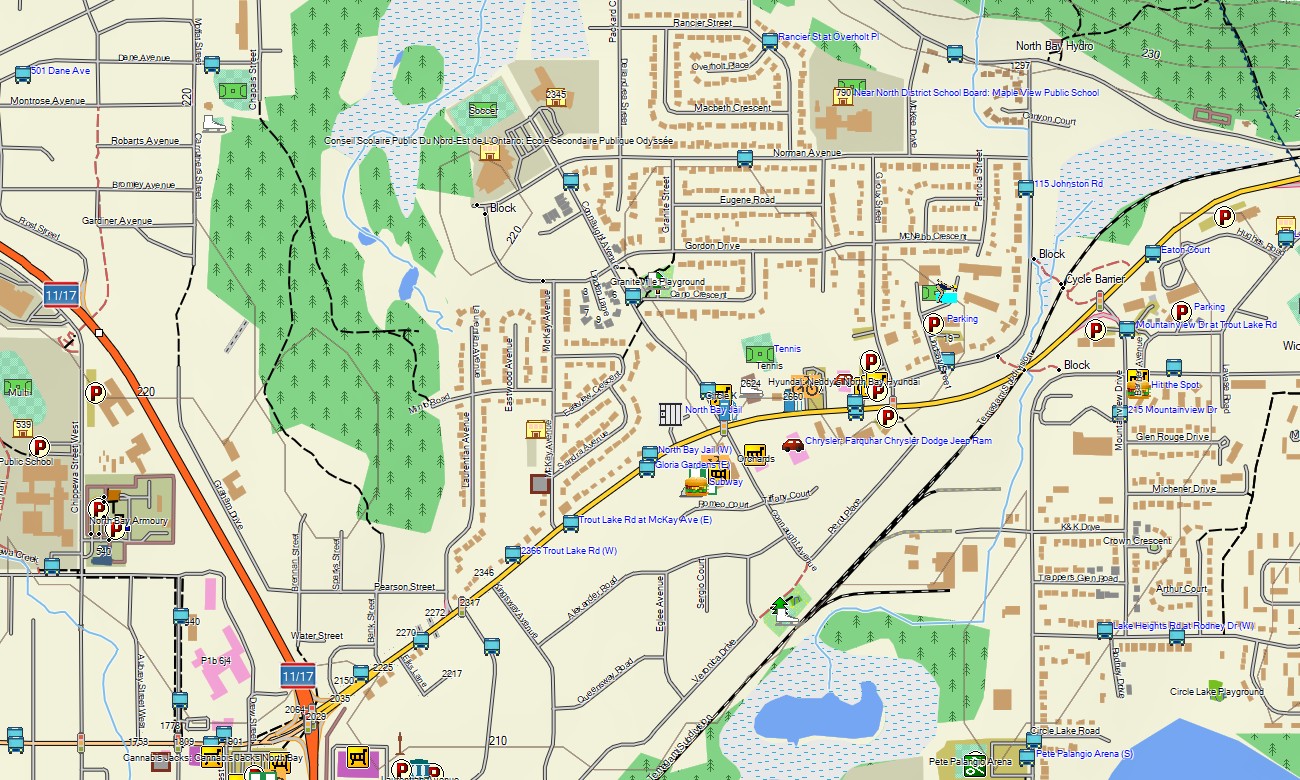
Maps for Garmin navigator devices are practical for navigating Toronto, Ottawa, Hamilton, Thunder Bay, Sudbury, and remote highway routes. A map for Garmin watch supports hikers, cyclists, runners, and outdoor users following trails, waterfront paths, and park routes.
Based on open street maps Garmin compatible data and delivered as part of our Garmin OSM maps series, the product includes detailed road, trail, POI, hydrology, and terrain information. After purchase, customers can download Garmin map files for installation on supported devices. These topographic maps for Garmin provide dependable offline navigation throughout Ontario.
Key Features:
- Topographic maps for Garmin covering Ontario with expressways, highways, local roads, forest tracks, trails, rivers, lakes, wetlands, islands, ferry routes, and elevation contours
- Natural features include the Great Lakes, Niagara Escarpment, Algonquin forests, Canadian Shield, Bruce Peninsula, Muskoka lakes, Lake Superior coast, and northern boreal regions
- Road coverage includes 400-series highways, Trans-Canada routes, city streets, rural roads, park access roads, and recreation routes
- Points of interest include campgrounds, marinas, viewpoints, waterfalls, historic sites, trailheads, ski areas, ferry terminals, dams, and protected areas
- Routing support helps compatible Garmin devices manage urban driving, touring, hiking access, cycling, and long-distance travel
Only logged in customers who have purchased this product may leave a review.
Reviews
There are no reviews yet.