
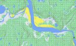
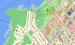
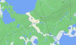
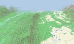
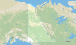
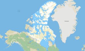
Northwest Territories Garmin topographic map
$25
Northwest Territories topo map for Garmin
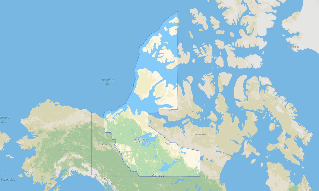
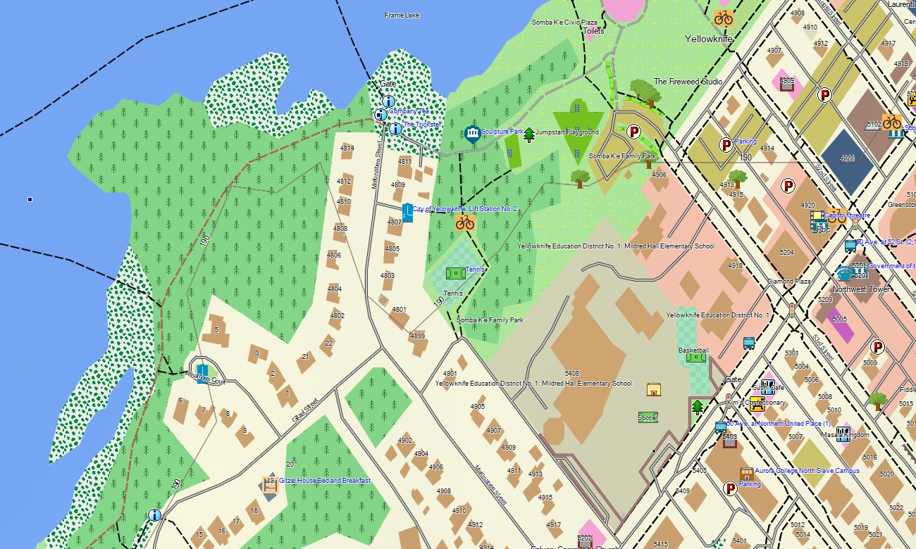
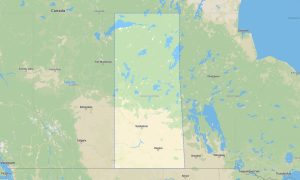
The Northwest Territories is one of Canada’s most remote navigation regions, offering boreal forests, tundra, giant lakes, northern highways, ice-road corridors, river systems, and extraordinary wilderness. Detailed Garmin maps help users navigate Yellowknife, Hay River, Inuvik, Fort Simpson, Great Slave Lake, Mackenzie River routes, and access roads toward the Arctic. A dependable Garmin GPS map is crucial where mobile networks are sparse.
This Garmin map is suitable for expedition driving, fishing trips, remote work travel, camping, hiking, paddling access, and northern touring. Built as an OSM map tourist Garmin product, it includes useful detail for communities, highways, winter road approaches where mapped, trails, lakeshores, rivers, and protected areas. These outdoor maps Garmin travelers rely on provide offline guidance in areas where planning is essential.
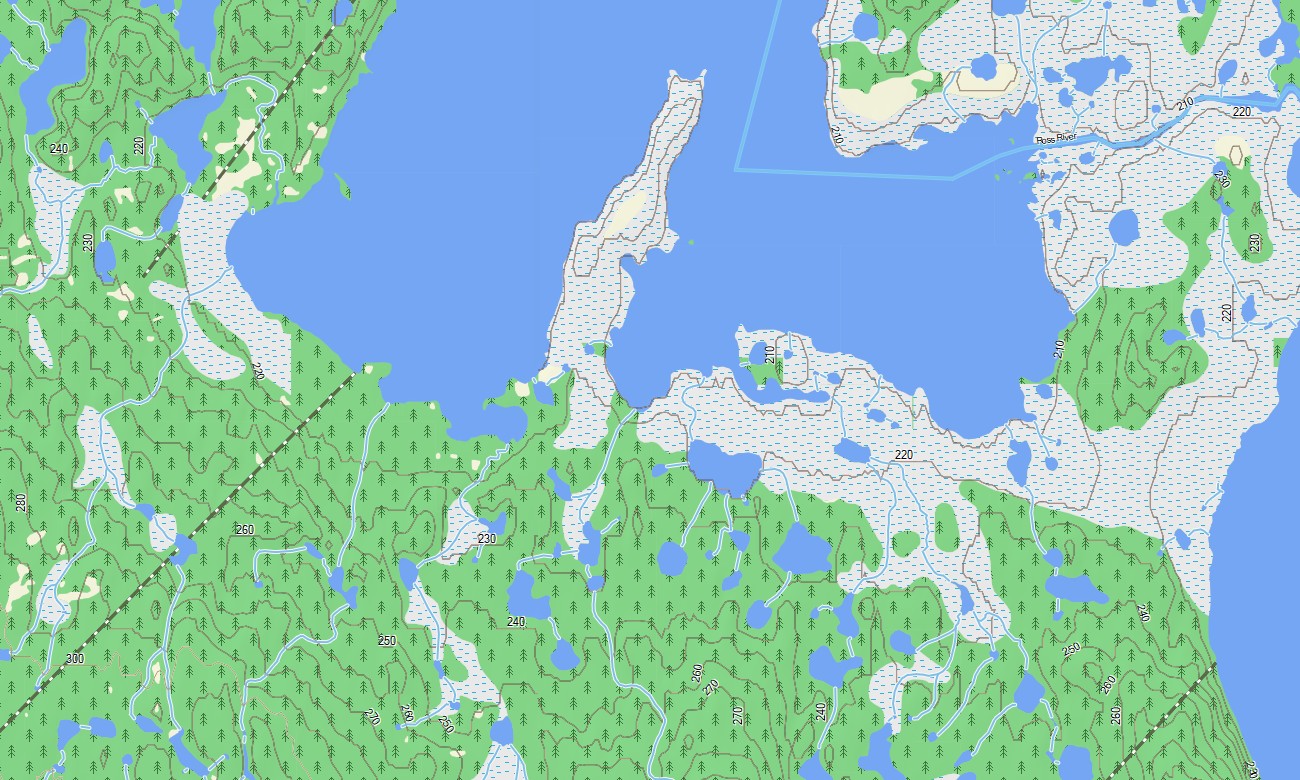
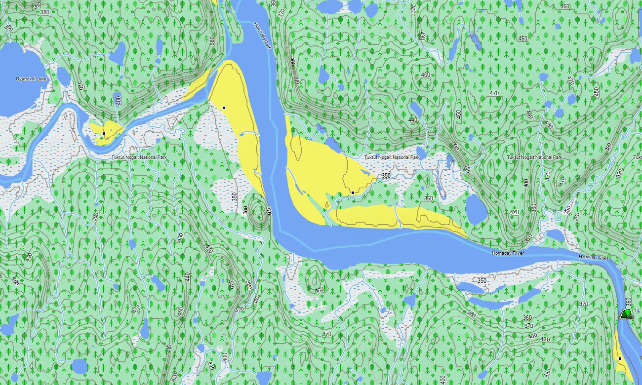
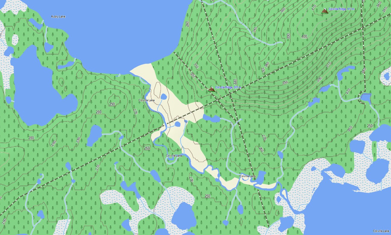
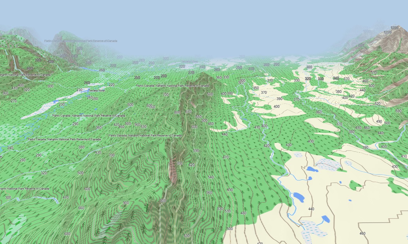
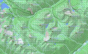
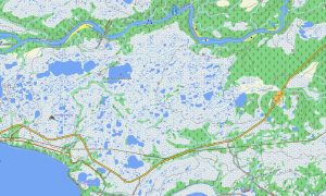
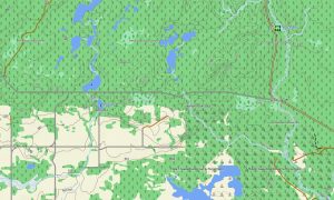
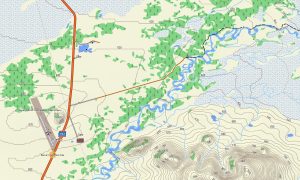
The territory’s landscape includes shield rock, muskeg, boreal forest, tundra, deltas, cliffs, lakes, and mountain edges in the west. This Garmin GPS map operates as an OSM topo map with roads, tracks, trails, rivers, lakes, shorelines, islands, settlements, and elevation contours. The OSM topographic maps help users evaluate terrain, water systems, remote access, and long-distance travel challenges.
Maps for Garmin navigator devices are practical for driving the Mackenzie Highway, Ingraham Trail, Dempster connection areas, and community roads. A map for Garmin watch can support hikers and outdoor users near parks, lakes, and local trail networks.
Created from open street maps Garmin compatible data and maintained within our Garmin OSM maps collection, this product combines transportation, outdoor, hydrographic, settlement, and terrain layers. After purchase, customers can download Garmin map files for compatible devices. These topographic maps for Garmin are designed for dependable offline navigation in the Northwest Territories.
Key Features:
- Topographic maps for Garmin covering the Northwest Territories with highways, community roads, remote tracks, trails, rivers, lakes, islands, shorelines, wetlands, parks, and elevation contours
- Natural features include Great Slave Lake, Great Bear Lake, Mackenzie River, Nahanni region, Arctic tundra, boreal forest, Canadian Shield, river deltas, and northern mountain landscapes
- Road coverage includes Mackenzie Highway, Ingraham Trail, Dempster access, local streets, community connectors, winter-road corridors where mapped, and recreation access roads
- Points of interest include campgrounds, viewpoints, boat launches, trailheads, historic sites, visitor centers, waterfalls, ferries, airstrips, and protected areas
- Routing support assists compatible Garmin devices with offline northern travel and wilderness access
Only logged in customers who have purchased this product may leave a review.
Reviews
There are no reviews yet.