
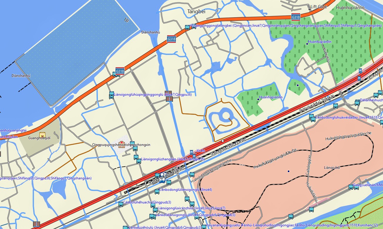
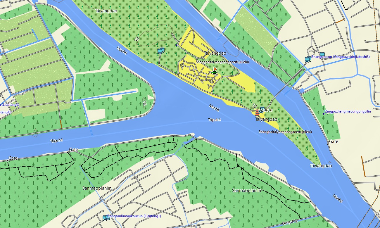
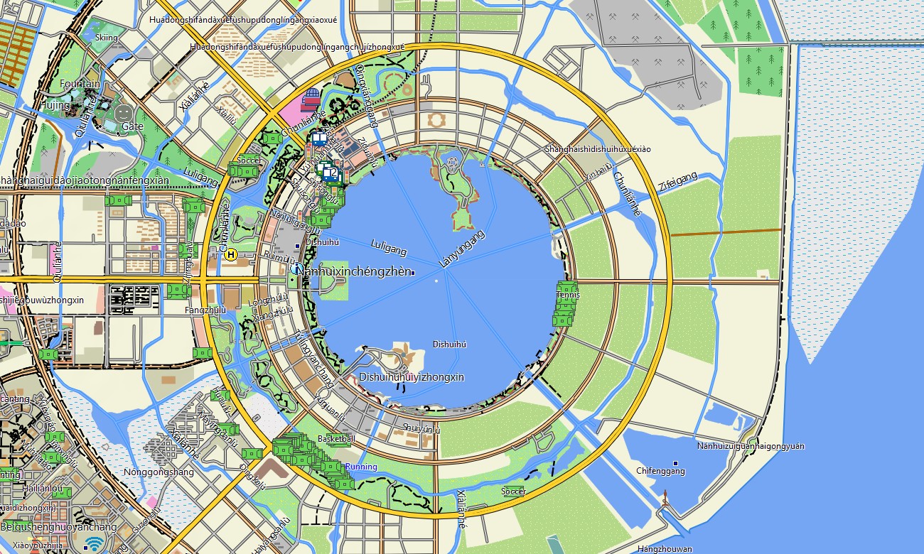
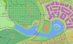
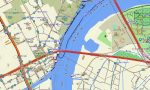
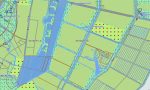
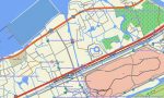
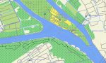

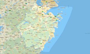
Shanghai Garmin topographic map
$22
Shanghai topo map for Garmin
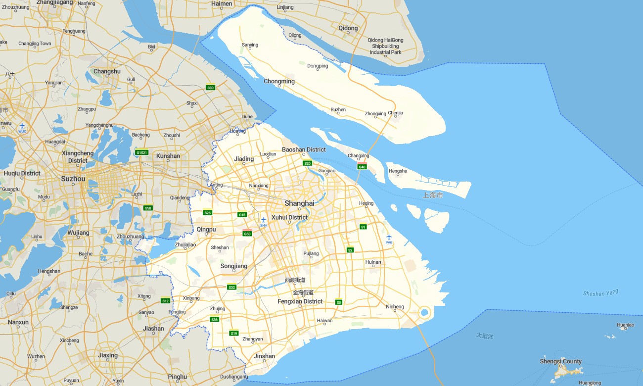
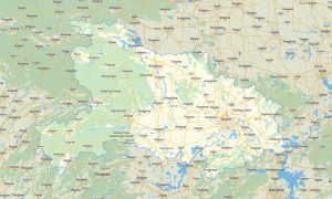
Explore Shanghai’s dense urban streets, riverfront districts, coastal zones, parks, canals, transport hubs, and surrounding suburban routes with detailed Garmin maps created for precise offline navigation. This Garmin GPS map covers central Shanghai, Pudong, Puxi, Hongqiao, Minhang, Baoshan, Jiading, Songjiang, Qingpu, Fengxian, Chongming Island, and approaches to Jiangsu and Zhejiang.
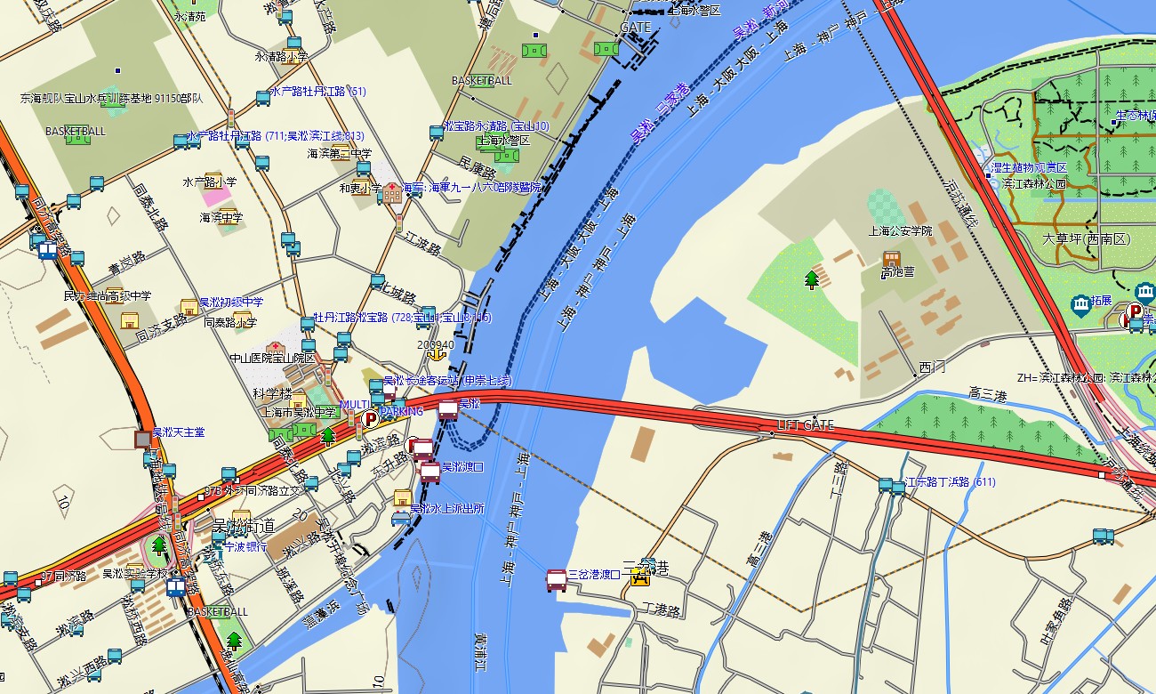
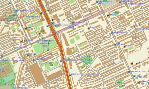
Designed as an efficient OSM map tourist Garmin solution, the map supports business travel, city sightseeing, cycling, walking routes, airport transfers, exhibition visits, and short regional drives. These outdoor maps Garmin users depend on include urban roads, elevated expressways, pedestrian routes, riverside paths, parks, canals, ferry points, bridges, tunnels, hotels, and local services.
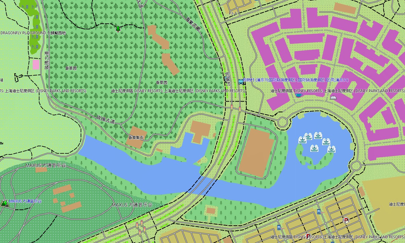
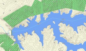
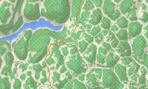
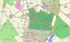
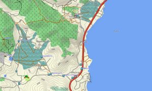
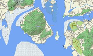
This Garmin GPS map also works as an urban OSM topo map, showing elevation contours, riverbanks, coastal lowlands, island terrain, green spaces, waterways, transport corridors, and settlement layers. The Garmin map is useful for understanding routes around the Huangpu River, Suzhou Creek, Pudong riverfront, Chongming wetlands, historic neighborhoods, and large transport interchanges.
Built from open street maps Garmin compatible data, the product offers strong detail for one of China’s most complex metropolitan environments. After ordering, users receive an instant download Garmin map link for quick setup on compatible Garmin devices before navigating city streets, pedestrian areas, business districts, or suburban roads.
Updated Garmin OSM maps help keep roads, interchanges, metro-area points, ferry locations, park paths, hotels, shopping zones, and public facilities more current. Maps for Garmin navigator devices support city driving, parking access, airport routes, port approaches, bridge crossings, tunnel navigation, and travel between museums, business centers, hotels, parks, and waterfront attractions.
A map for Garmin watch is ideal for runners, walkers, cyclists, and visitors following riverside promenades, urban greenways, park loops, historic streets, and island routes on Chongming. These OSM topographic maps and topographic maps for Garmin give offline confidence in a dense city where road layers and pedestrian connections can be complicated.
Key Features:
- Topographic maps for Garmin covering Shanghai include elevated roads, city streets, pedestrian routes, cycleways, rivers, canals, parks, ferry points, bridges, tunnels, coastal areas, islands, and elevation contours
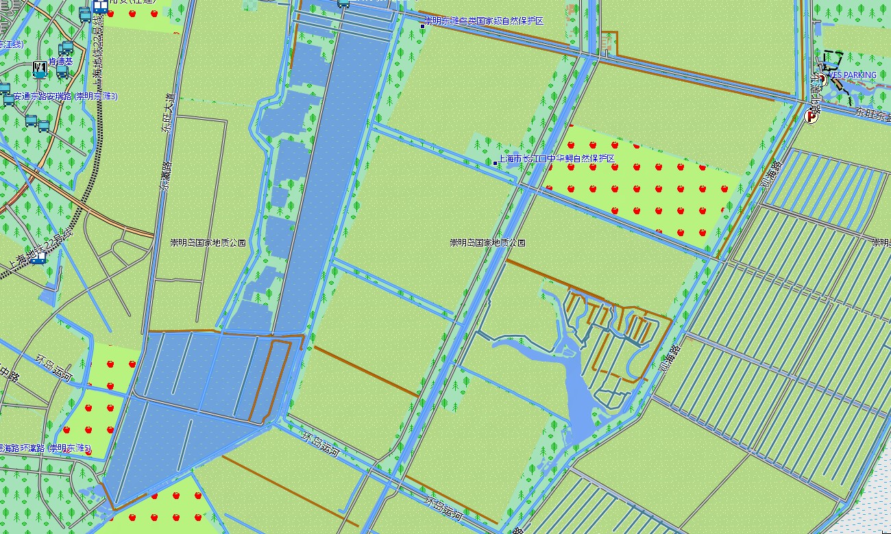
- Natural features include the Huangpu River, Suzhou Creek, Yangtze River estuary, Chongming Island, coastal wetlands, urban parks, riverfront promenades, canals, lowland plains, and landscaped green corridors
- Road coverage includes urban expressways, ring roads, airport access routes, port roads, bridge approaches, tunnel sections, suburban roads, industrial access streets, ferry approaches, and local lanes
- Points of interest include museums, historic districts, skyscraper areas, shopping streets, hotels, railway stations, airports, exhibition centers, parks, temples, waterfront viewpoints, ferry terminals, and cultural landmarks
- Routing support helps compatible maps for Garmin navigator devices guide drivers, cyclists, walkers, and business travelers through Pudong, Puxi, airports, port districts, suburbs, and river crossings
- The map is presented in two versions: with labels in Latin characters and with labels in Chinese characters
- Full compatibility supports handheld Garmin GPS units, automotive navigators, outdoor receivers, cycling computers, and selected models using a map for Garmin watch with OSM topographic maps
Only logged in customers who have purchased this product may leave a review.

Reviews
There are no reviews yet.