
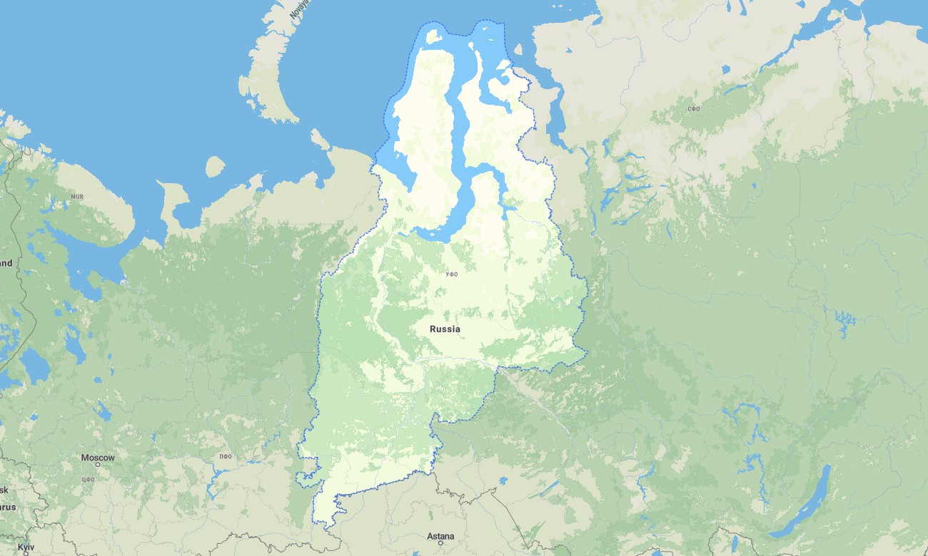
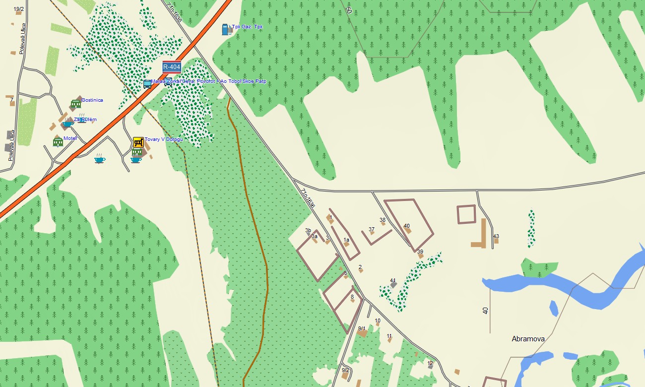
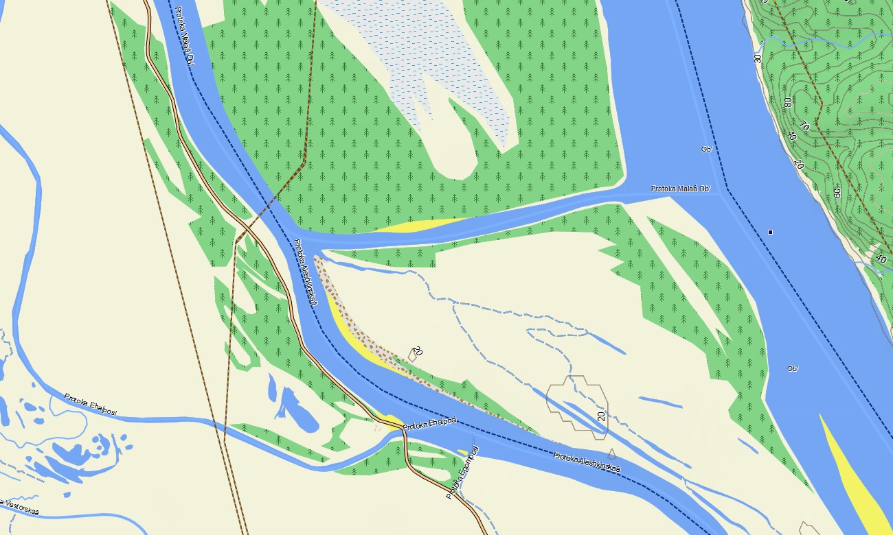
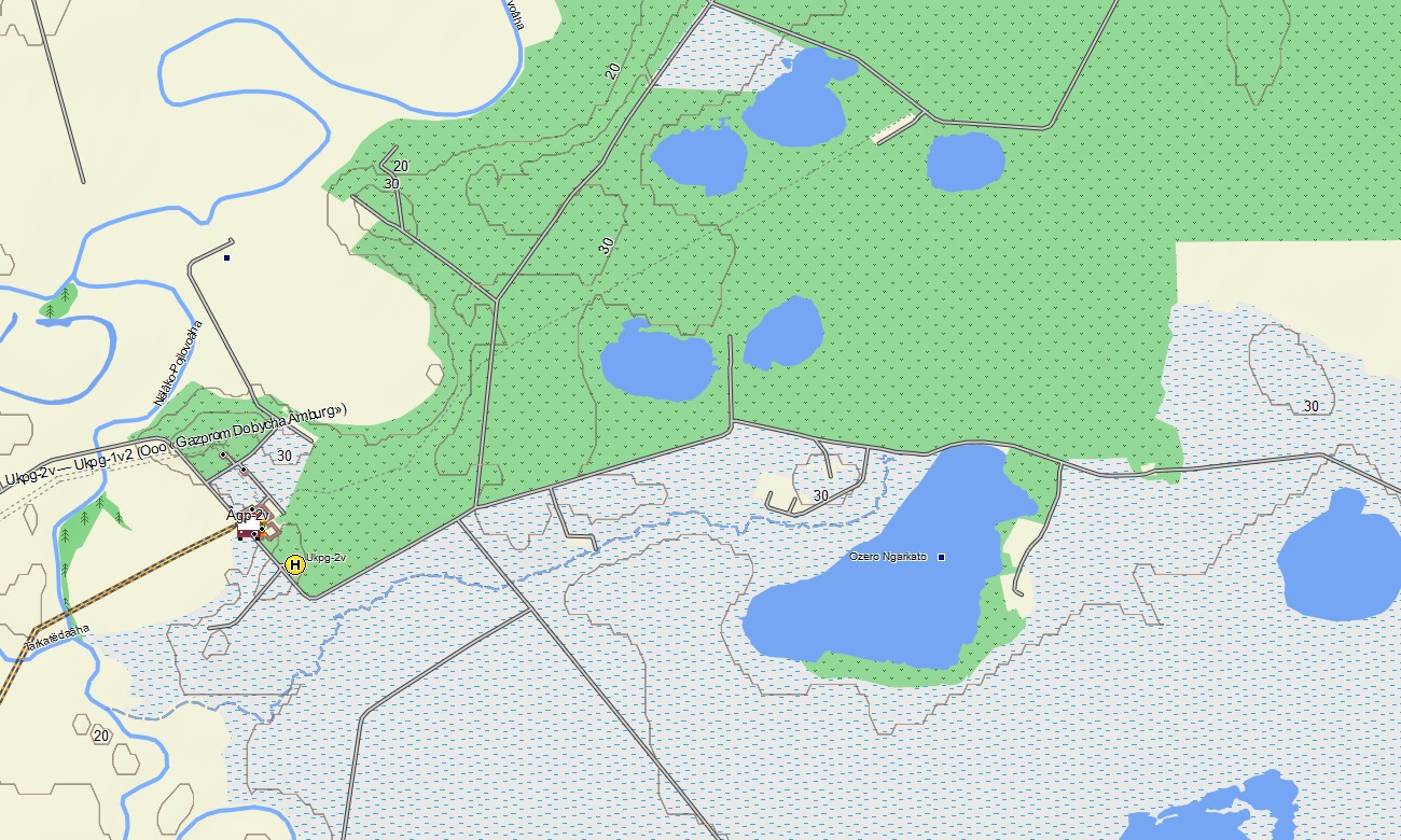

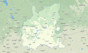
Ural Federal District Garmin topographic map
$32
Ural Federal District of Russia topo map for Garmin
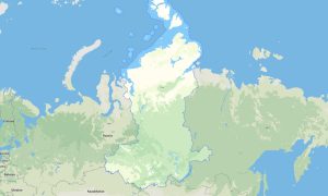
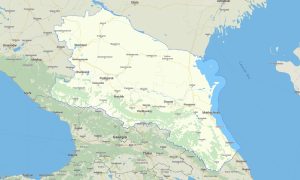
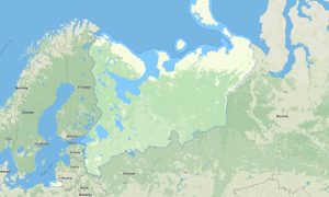
Travel along the natural border between Europe and Asia with Garmin maps prepared for the Ural Federal District, covering Sverdlovsk region, Chelyabinsk region, Tyumen region, Kurgan region, Khanty-Mansi Autonomous Okrug, and Yamalo-Nenets Autonomous Okrug. This Garmin GPS map supports navigation through industrial cities, northern oil regions, mountain ridges, river plains, and tundra landscapes.
Designed as a reliable OSM map tourist Garmin product, it is useful for driving around Yekaterinburg, exploring the Southern Urals, visiting lakes near Chelyabinsk, and traveling toward northern settlements. These outdoor maps Garmin users can trust work offline, which is essential for remote roads, winter routes, forest tracks, and sparsely populated districts.
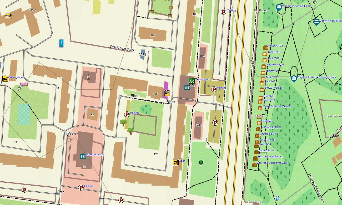
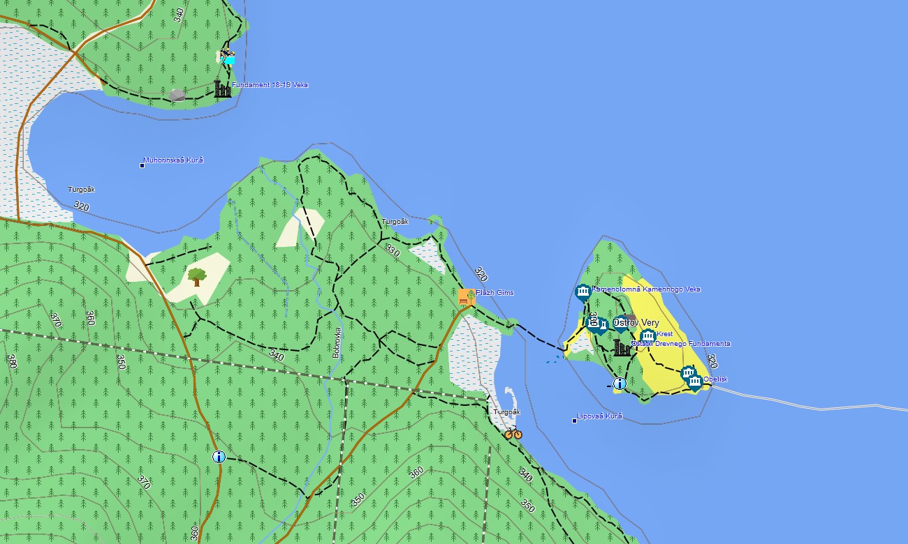
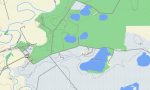
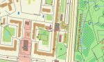
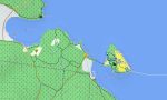
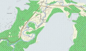
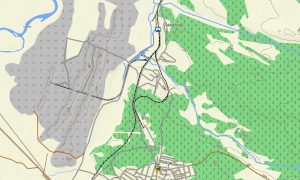
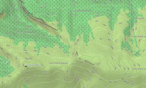
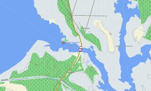
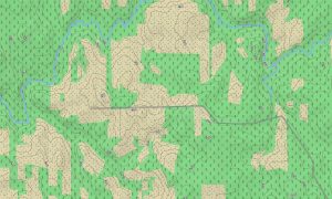
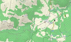
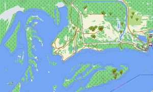
This Garmin GPS map acts as an OSM topo map with highways, urban streets, service roads, forest paths, rivers, lakes, swamps, pipelines, settlements, and elevation contours where available. Created from open street maps Garmin compatible data, it provides practical detail for users searching for OSM topographic maps for transport and outdoor use.
On compatible devices, these maps for Garmin navigator units support road routing, trip planning, and orientation across complex city networks and long northern corridors. The Garmin map can also serve as a map for Garmin watch models during hiking, trail running, skiing, snowmobiling, and local exploration.
The package integrates urban mapping, road networks, terrain detail, hydrography, and points of interest into convenient Garmin OSM maps. After purchase, you can download Garmin map data instantly and prepare offline navigation for Urals travel, business routes, field operations, and outdoor adventures.
Key Features:
- Topographic maps for Garmin cover the Ural Federal District with city streets, federal highways, regional roads, industrial access roads, forest tracks, mountain trails, rivers, lakes, wetlands, tundra zones, and elevation contours
- Natural features include the Ural Mountains, Iset and Tobol river systems, forested ridges, rocky outcrops, taiga, steppe margins, northern marshes, lakes, and Arctic lowland landscapes
- The Garmin map includes Yekaterinburg, Chelyabinsk, Tyumen, Kurgan, Surgut, Nizhnevartovsk, Salekhard, towns, airports, railway stations, viewpoints, monuments, ski areas, bridges, and industrial infrastructure
- These OSM topographic maps assist driving, hiking, cycling, skiing, snowmobiling, fishing, professional fieldwork, and navigation between remote settlements and major economic centers
- Compatibility includes Garmin OSM maps, an OSM topo map, maps for Garmin navigator devices, handheld GPS units, selected outdoor receivers, and a map for Garmin watch models
- Fast access allows users to download Garmin map files and navigate offline through mountain roads, northern highways, urban districts, forests, lakeshores, and remote energy regions
Only logged in customers who have purchased this product may leave a review.
Reviews
There are no reviews yet.