
Alabama Garmin topographic map
$25
Alabama topo map for Garmin
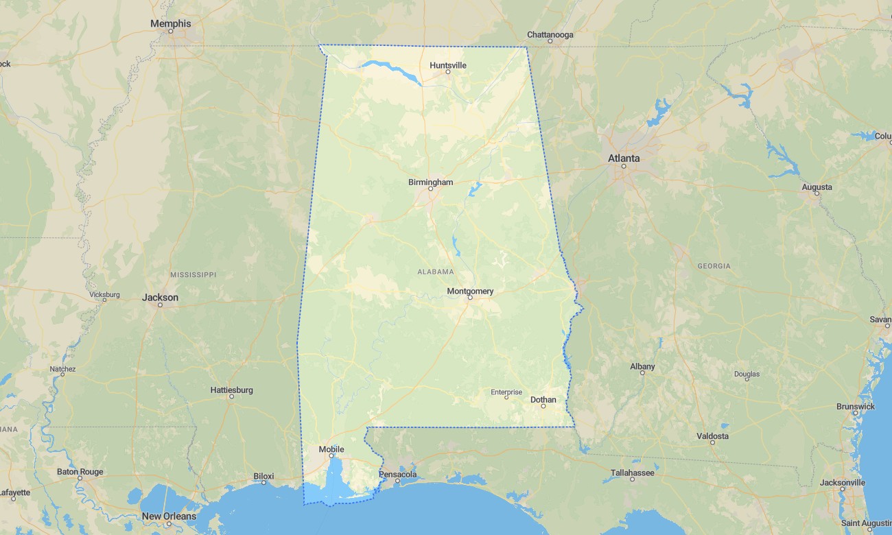
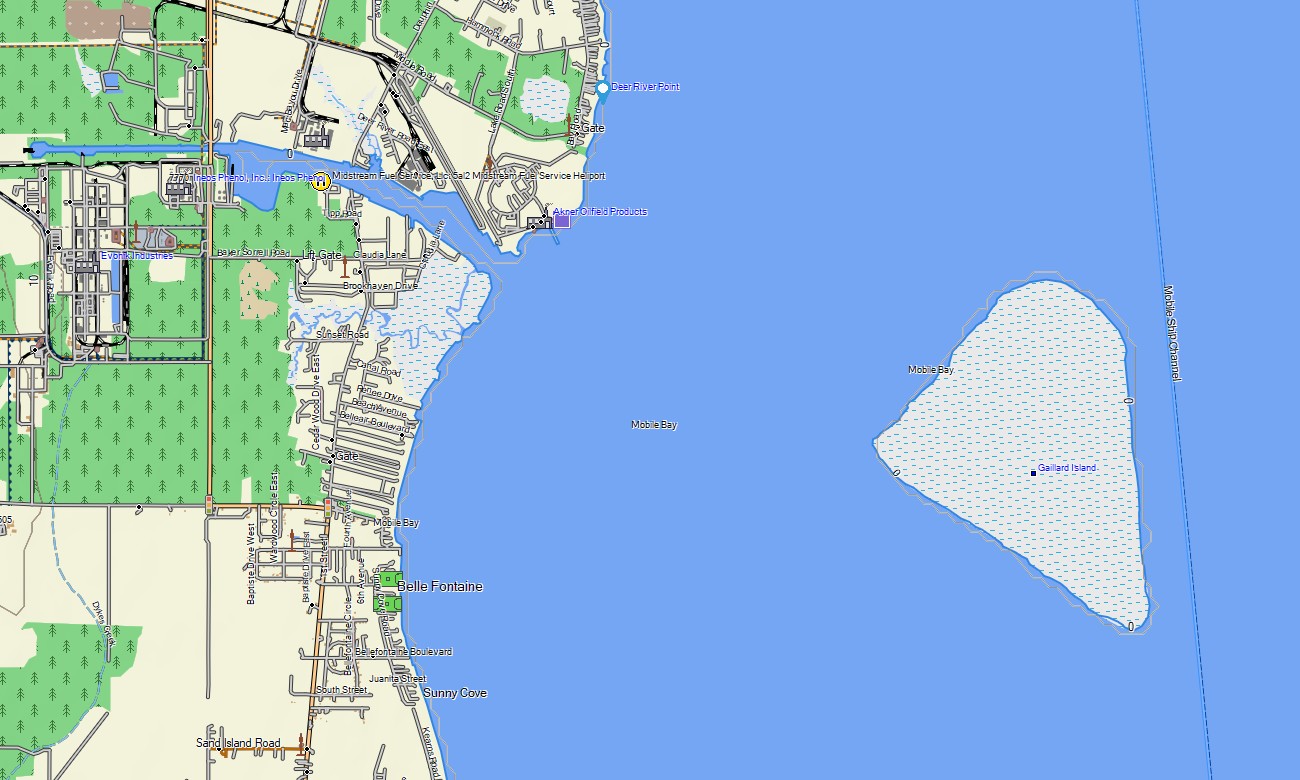
Explore Alabama from the Appalachian foothills to the Gulf Coast with detailed Garmin maps prepared for road travel, hiking, fishing access, and rural exploration. This Garmin GPS map covers Birmingham, Montgomery, Mobile, Huntsville, Tuscaloosa, the Tennessee River Valley, Black Belt counties, reservoirs, state forests, and coastal wetlands near Mobile Bay.
Designed as a practical OSM map tourist Garmin solution, it supports scenic drives through historic towns, outdoor trips in Talladega National Forest, and navigation along river roads and coastal routes. These outdoor maps Garmin users depend on operate offline, giving travelers a reliable Garmin map for areas where mobile coverage may be limited.
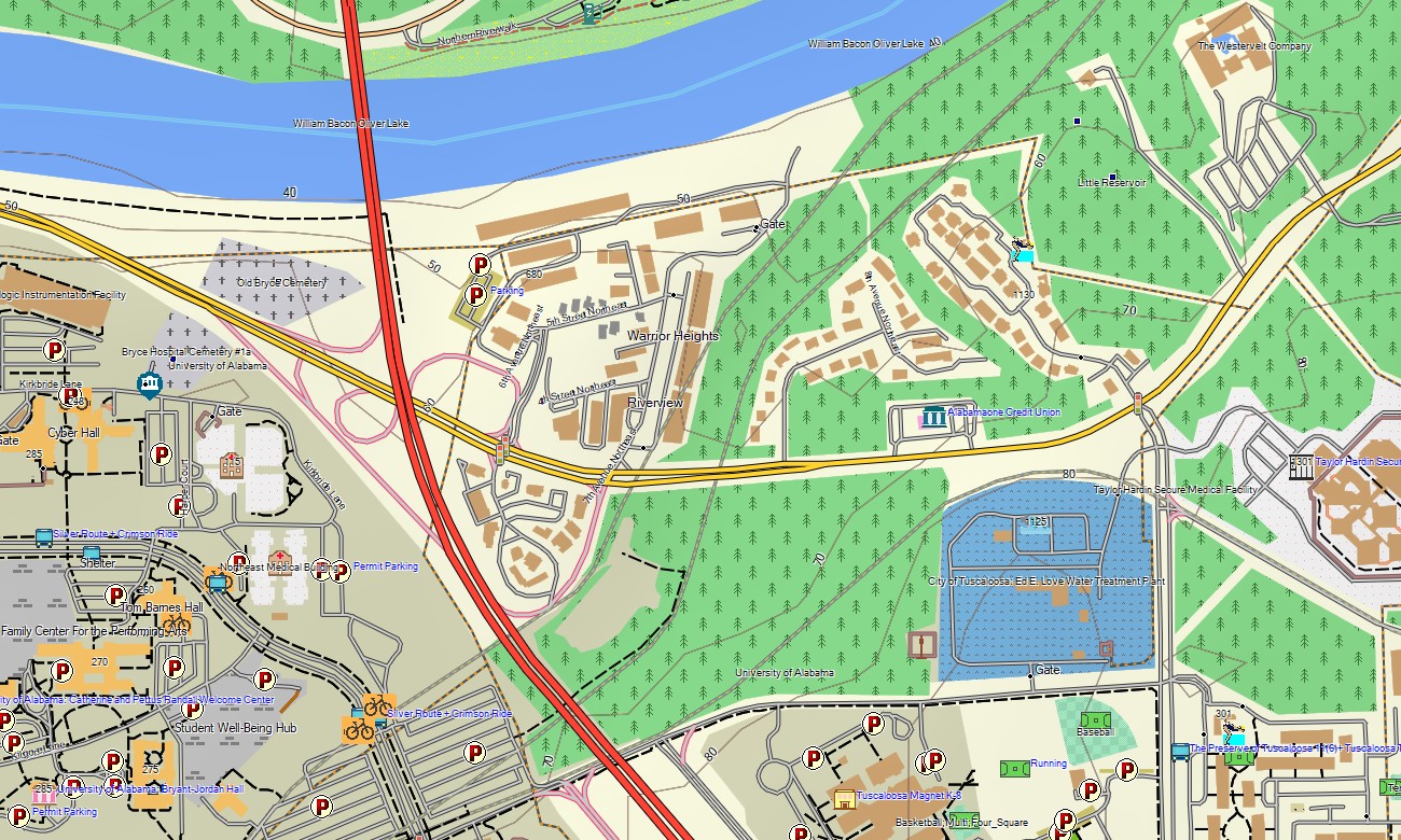
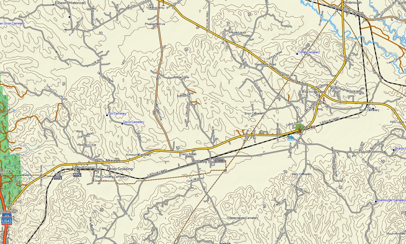
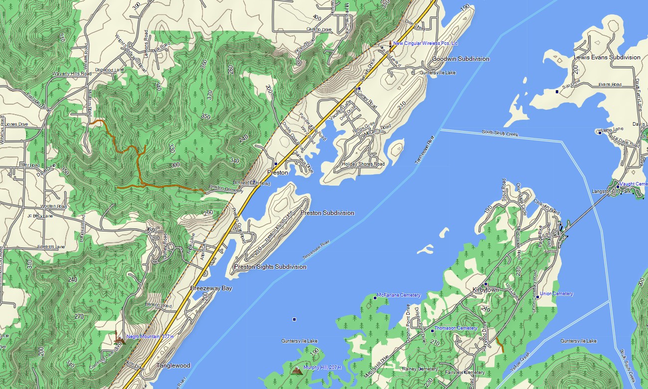
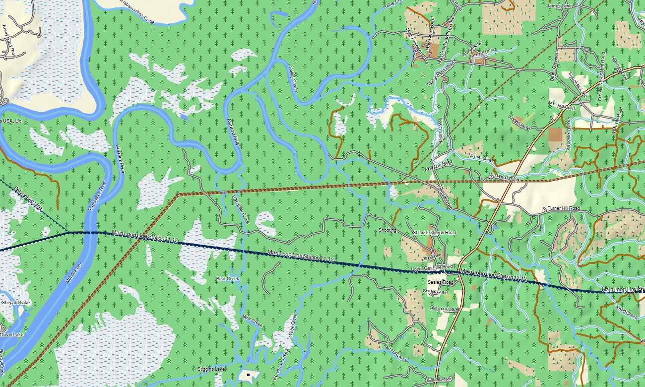
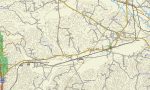
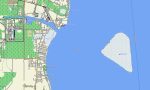
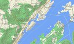
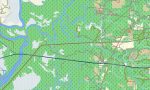
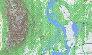
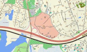
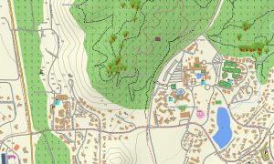
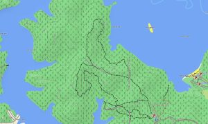
This Garmin GPS map works as a detailed OSM topo map, showing interstates, state highways, county roads, forest tracks, trails, rivers, lakes, wetlands, and elevation contours. Built from open street maps Garmin compatible data, it helps users read Alabama’s varied landforms from Cheaha Mountain to the low delta country.
With routing support, these maps for Garmin navigator devices assist with planning drives between cities, parks, campgrounds, hunting areas, boat launches, and rural communities. Whether crossing Birmingham’s urban network or following quiet roads through pine forests, this Garmin map delivers dependable offline orientation.
The map combines road, street, water, terrain, and recreation layers into one useful navigation product. After purchase, use the download Garmin map link for installation on compatible devices. Garmin OSM maps are suitable for handheld GPS units, automotive receivers, and supported devices that use a map for Garmin watch.
Key Features:
- Topographic maps for Garmin covering Alabama with roads, tracks, trails, rivers, lakes, wetlands, and elevation contours
- Natural features such as Appalachian ridges, pine forests, river valleys, reservoirs, marshes, and Gulf Coast shoreline
- Road coverage including interstates, state highways, county roads, urban streets, and rural access routes
- Points of interest: Civil Rights landmarks, historic districts, campgrounds, boat ramps, viewpoints, parks, monuments
- Routing support for driving and regional navigation on compatible devices
- Compatibility with handheld GPS units, automotive navigators, and selected Garmin watch models
Only logged in customers who have purchased this product may leave a review.

Reviews
There are no reviews yet.