
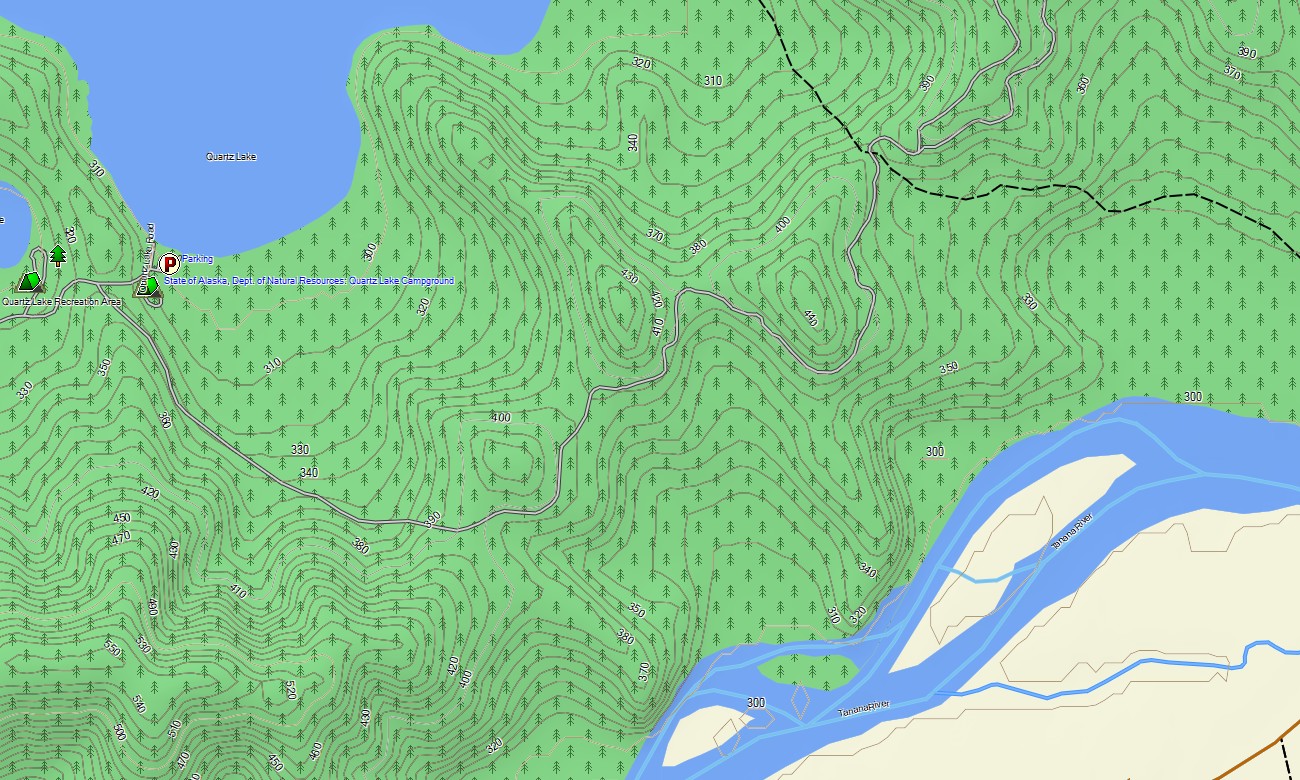
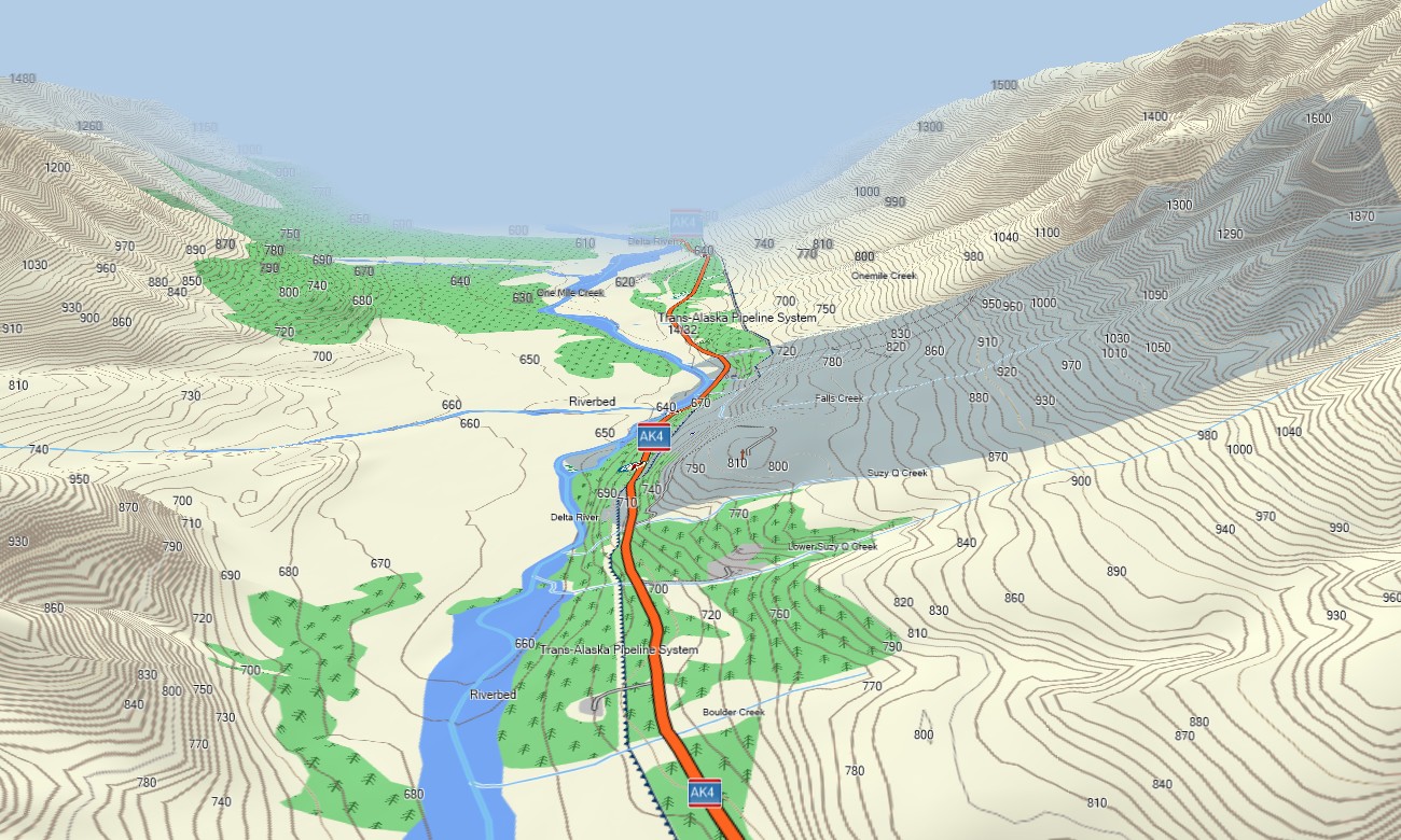
Alaska Garmin topographic map
$25
Alaska topo map for Garmin
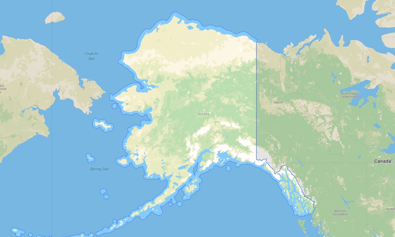
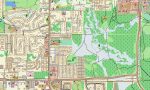
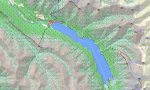
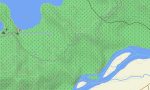
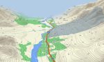
Navigate Alaska’s immense wilderness with advanced Garmin maps built for mountains, glaciers, tundra, fjords, boreal forests, island coastlines, and isolated settlements. This Garmin GPS map provides coverage for Anchorage, Fairbanks, Juneau, the Kenai Peninsula, Denali region, Interior highways, Southeast communities, Arctic corridors, and remote travel routes across the state.
Created as a rugged OSM map tourist Garmin resource, it supports long overland journeys on the Dalton Highway, hikes near Denali, fishing access, coastal exploration, and backcountry orientation. These outdoor maps Garmin adventurers carry are especially important in Alaska’s vast regions beyond stable mobile service, giving every compatible Garmin map strong offline value.
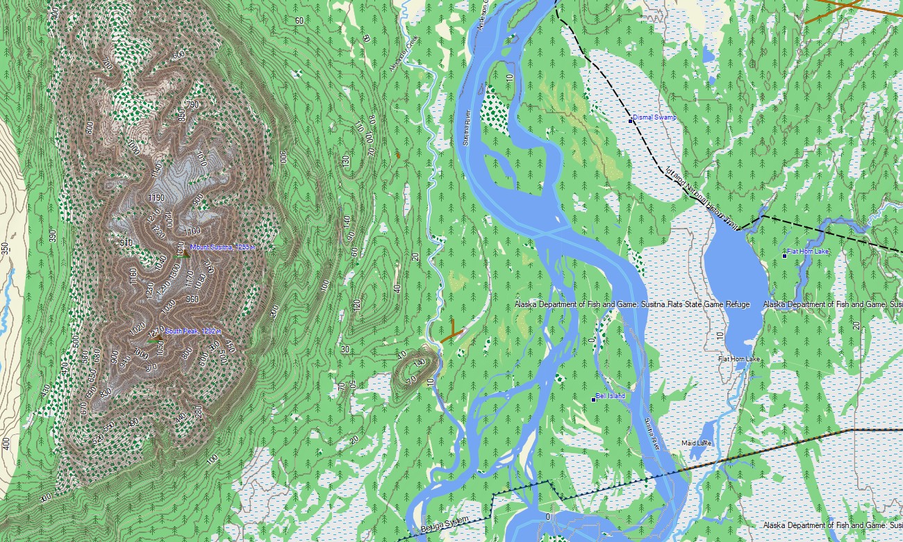
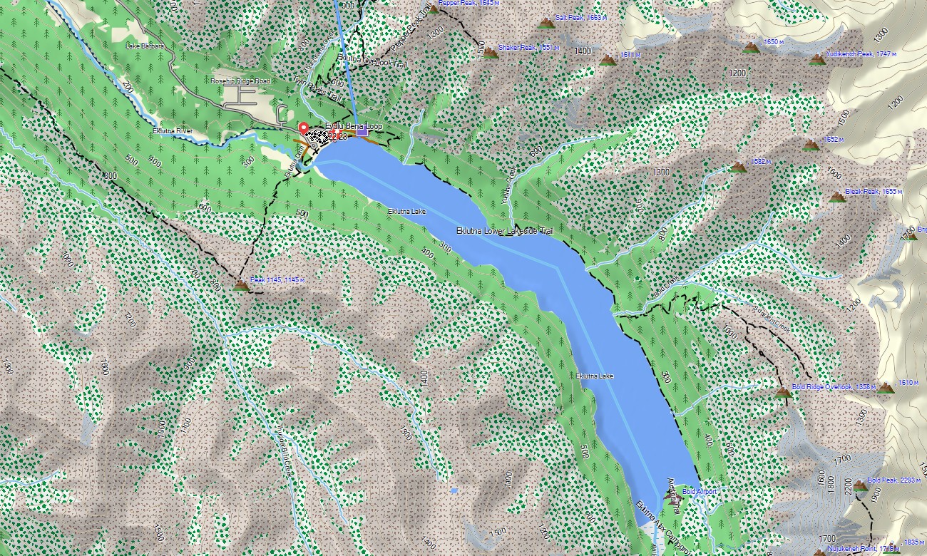
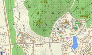
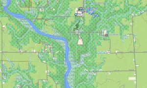
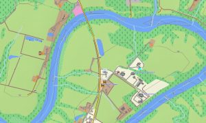
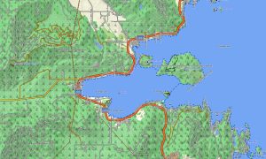
This Garmin GPS map functions as a precise OSM topo map with roads, mapped tracks, river systems, lakes, glaciers, coastlines, mountain ridges, passes, valleys, and elevation contours. Based on open street maps Garmin compatible data, these OSM topographic maps give travelers better terrain awareness in complex northern landscapes.
Maps for Garmin navigator devices can assist with route planning where routable data is available, while the main strength is offline topographic detail for demanding travel. From the Seward Highway to the Brooks Range, this Garmin map supports navigation across road corridors and wilderness edges.
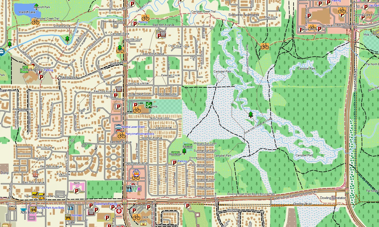
The map integrates settlement detail, transport routes, water features, elevation contours, coastline geometry, and recreation references. Use the download Garmin map option for installation on compatible devices. Garmin OSM maps are suitable for expedition GPS units, vehicle receivers, outdoor handhelds, and supported devices requiring a map for Garmin watch.
Key Features:
- Topographic maps for Garmin covering Alaska with roads, tracks, trails, rivers, lakes, glaciers, coastline, and elevation contours
- Natural features such as tundra, icefields, volcanoes, fjords, boreal forest, islands, mountain passes, and high peaks
- Coverage of the Alaska Highway, Parks Highway, Seward Highway, Dalton Highway, and local road networks
- Points of interest: harbors, airstrips, cabins, ranger stations, trailheads, viewpoints, historic sites, remote settlements
- Routing support on compatible Garmin units where routable information is available
- Suitable for handheld GPS, outdoor devices, vehicle navigation, and selected Garmin watch models
Only logged in customers who have purchased this product may leave a review.


Reviews
There are no reviews yet.