
Argentina Garmin topographic map
$32
Argentina topo map for Garmin
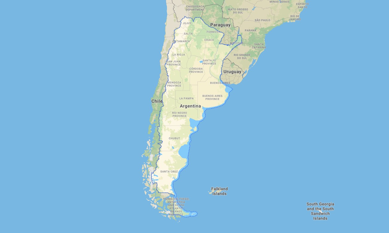
Explore the vast contrasts of Argentina, from the Andean peaks to the Pampas grasslands, with a detailed topographic Garmin map that ensures precise navigation across the continent’s second-largest nation. This essential Garmin GPS map delivers complete coverage from Buenos Aires to Patagonian glaciers, serving as a vital tool for adventurers and travelers alike.
Designed as a versatile OSM map tourist Garmin solution, it supports hiking tours in the Lake District and road trips along the legendary Ruta 40. These dependable outdoor maps Garmin explorers rely on function entirely offline. Instant download with regular free updates included guarantees your Garmin map remains a current and reliable digital companion for any journey.
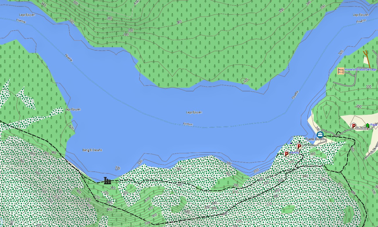
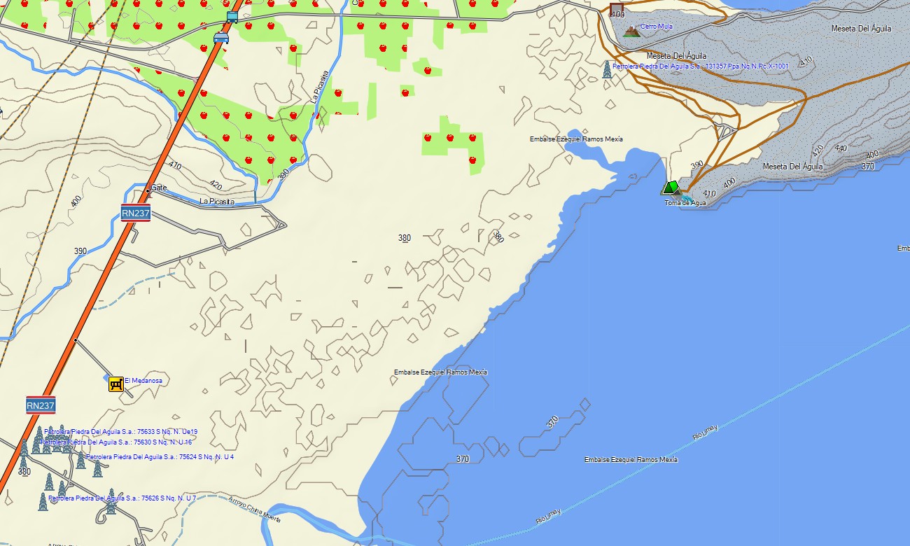
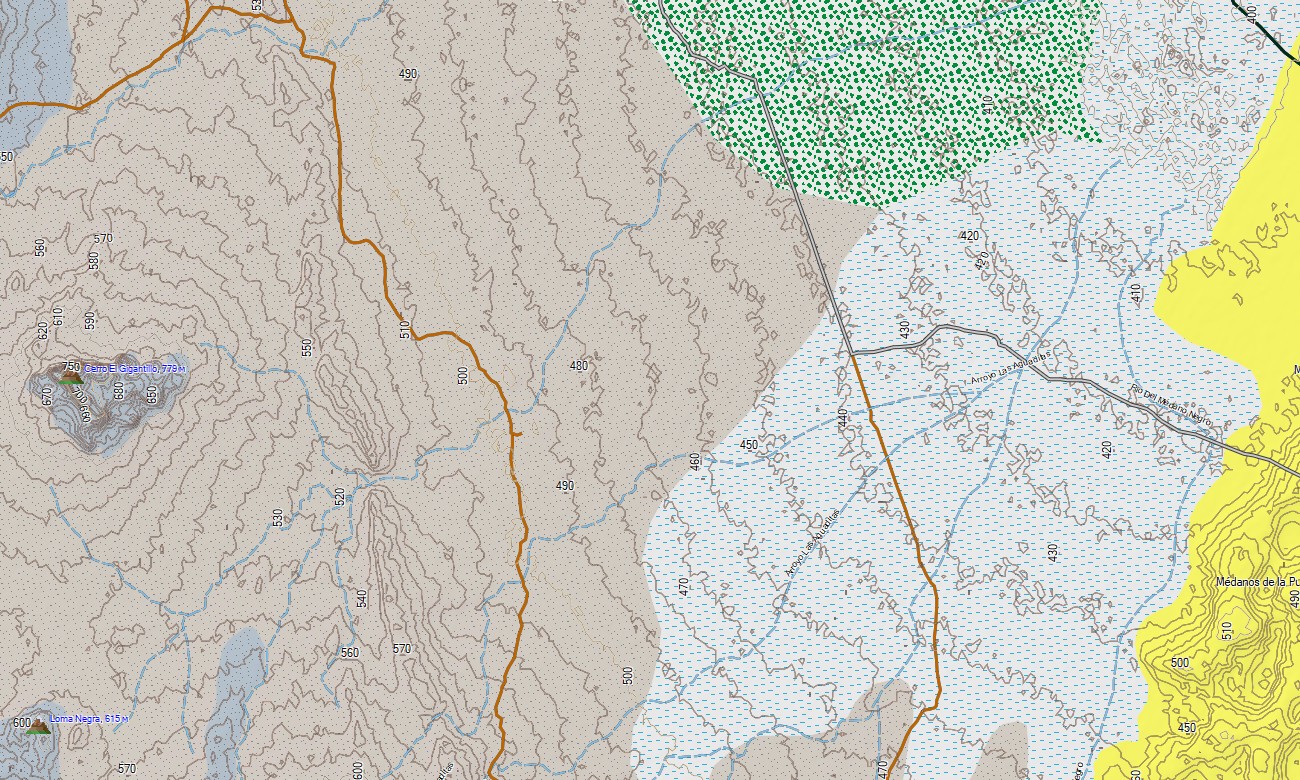
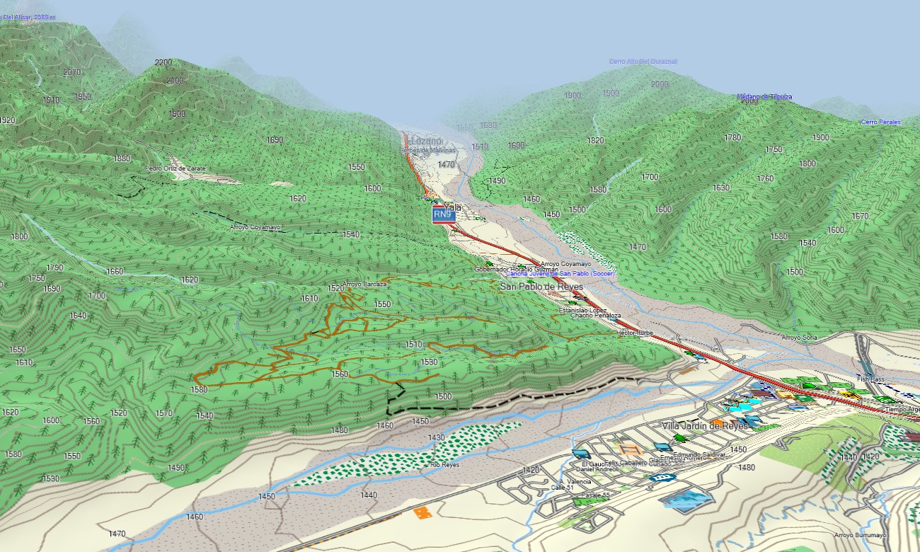
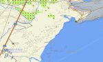
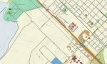
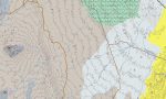
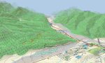
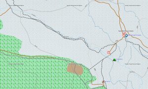
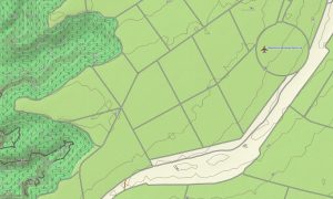
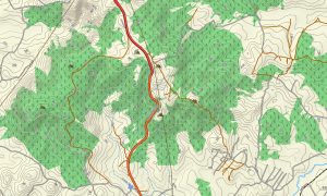
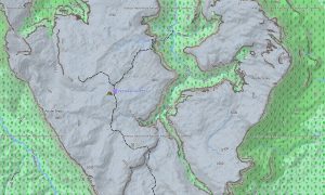
This Garmin GPS map operates as a comprehensive OSM topo map, meticulously charting highways, rugged mountain tracks, river networks, and detailed elevation contours. Natural features like the subpolar forests, arid monte shrublands, and the sprawling wetlands of the Iberá are clearly displayed. Such detail makes these topographic maps for Garmin indispensable for understanding the country’s immense geographic diversity.
With built-in routing, these maps for Garmin navigator devices enable planning and turn-by-turn guidance directly on your GPS. Whether traversing the wine regions of Mendoza, crossing the Patagonian steppe, or navigating the streets of Córdoba, this Garmin map provides consistent, offline navigation.
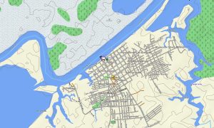
The map combines several essential layers: full road networks for long-distance travel, detailed street plans for urban centers, and rich topographic data for backcountry exploration. After purchase, you receive an instant download link; installation is quick, and scheduled updates keep your download Garmin map accurate and trustworthy over time.
Key Features:
- Topographic maps for Garmin covering Argentina with roads, tracks, trails, rivers, lakes, and elevation contours
- Natural features such as mountain ranges, glaciers, deserts, grasslands, wetlands, forests, and coastlines
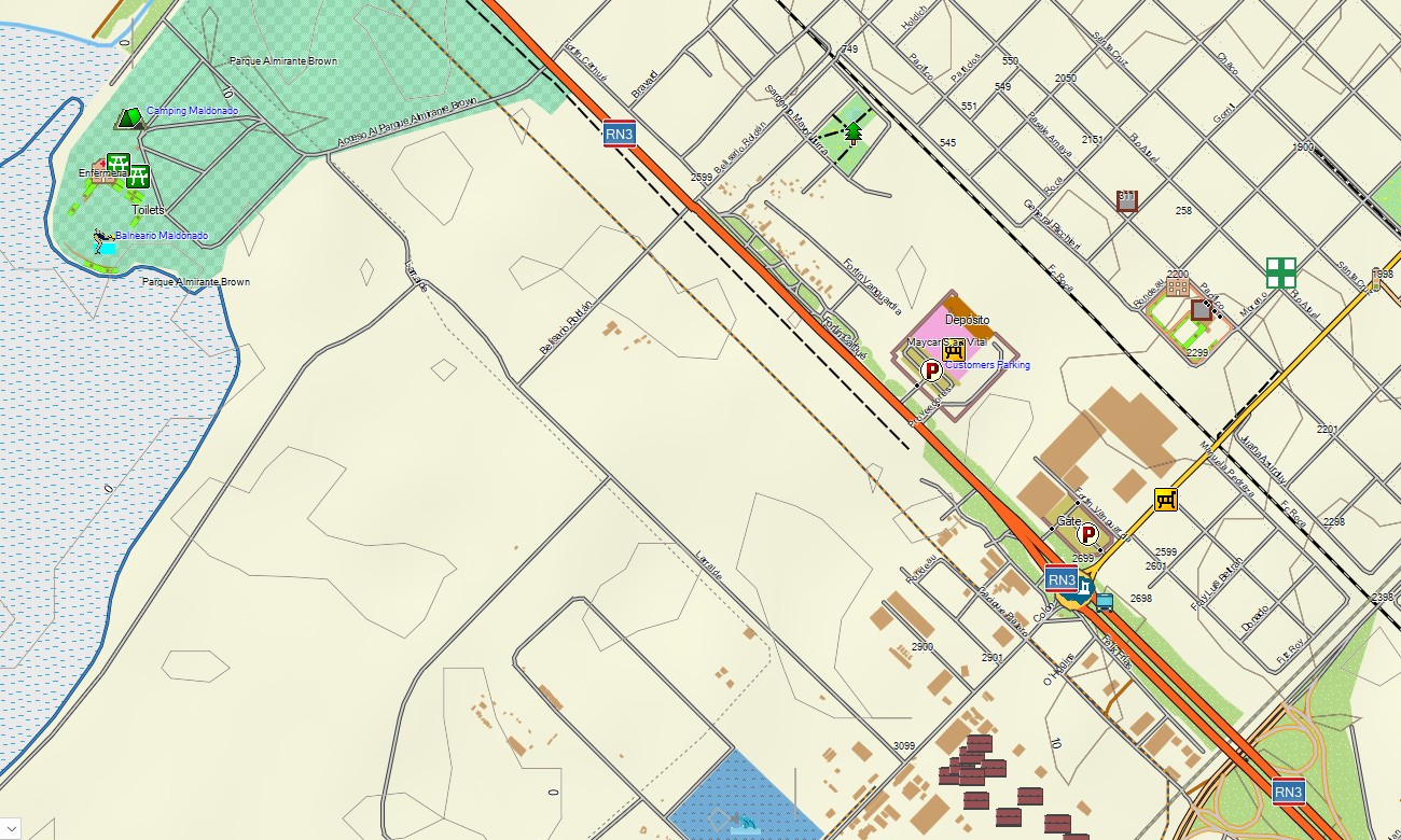
- Complete road coverage including national routes, provincial highways, urban streets, and remote rural connections
- Points of interest: urban infrastructure, historical sites, archaeological ruins, UNESCO World Heritage sites, mountain peaks, viewpoints, lighthouses, monuments, border posts, wineries, estancias, ski resorts
- Routing support for driving and long-distance navigation on compatible devices
- Full compatibility with handheld GPS units, automotive navigators, and as a map for Garmin watch models
Only logged in customers who have purchased this product may leave a review.
Reviews
There are no reviews yet.