
Arkansas Garmin topographic map
$25
Arkansas topo map for Garmin
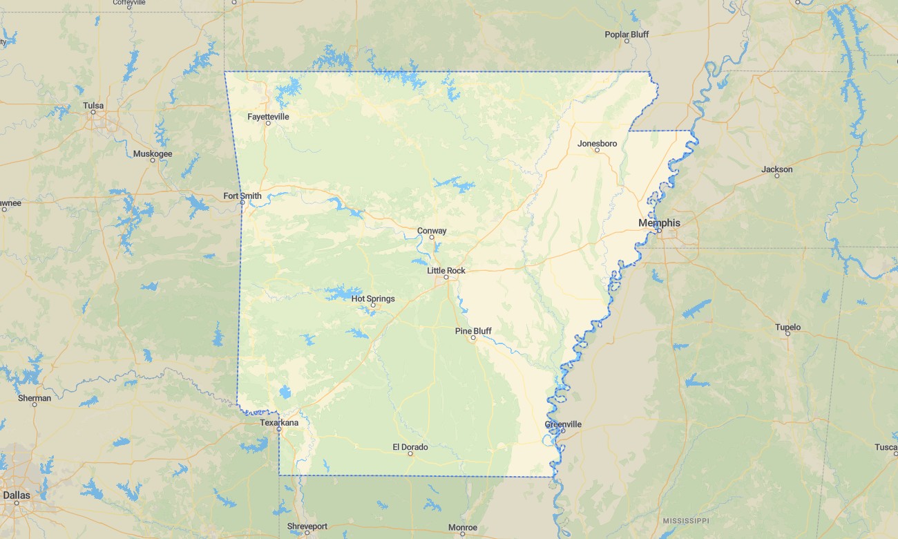
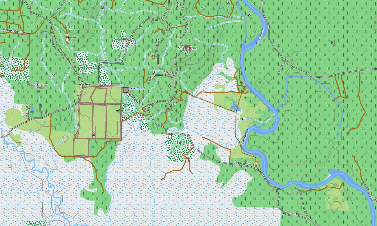
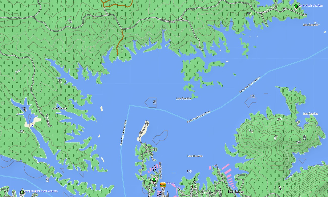
Discover Arkansas with Garmin maps designed for the Ozark Plateau, Ouachita Mountains, forest valleys, caves, reservoirs, river bluffs, and delta lowlands. This Garmin GPS map covers Little Rock, Fayetteville, Hot Springs, Fort Smith, Jonesboro, Buffalo National River, Lake Ouachita, mountain towns, rural counties, and major recreation corridors.
Created as a practical OSM map tourist Garmin solution, it supports scenic road travel, hiking, fishing, camping, boating access, cave visits, and woodland exploration. These outdoor maps Garmin travelers use offline are helpful when moving from interstate highways into national forest roads, gravel routes, and small communities where a Garmin map adds confidence.
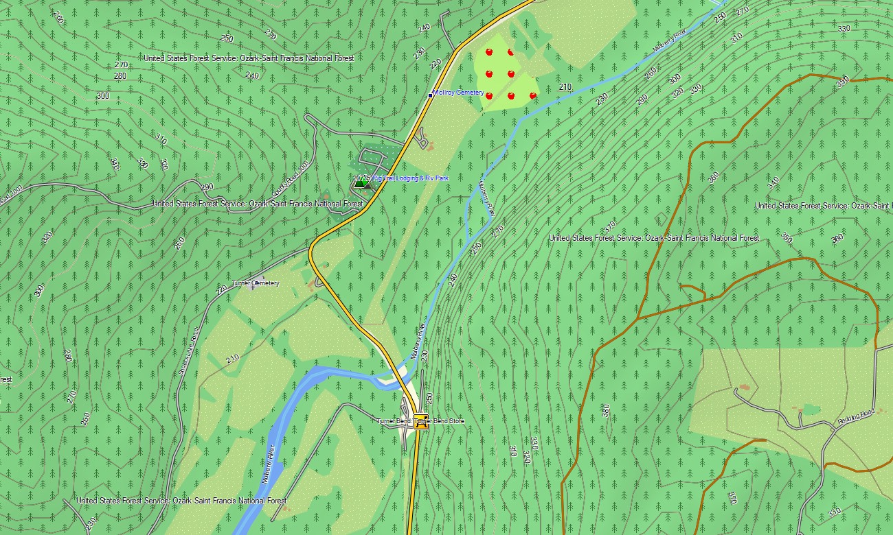
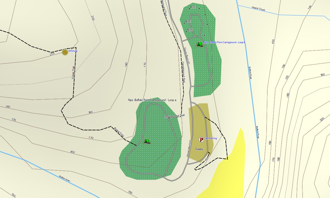
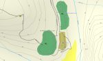
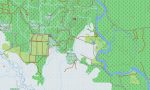
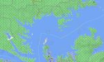
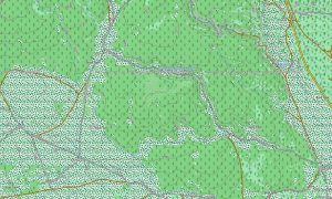
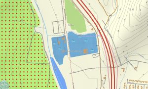
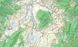
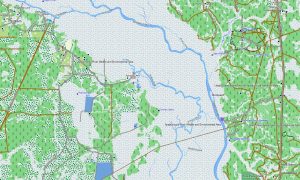
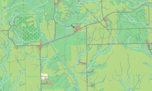
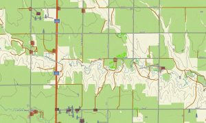
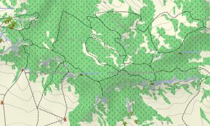
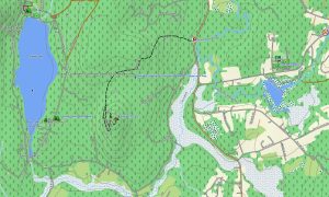
This Garmin GPS map operates as an OSM topo map with highways, county roads, forest routes, trails, streams, reservoirs, slopes, hollows, ridges, and elevation contours. Using open street maps Garmin compatible data, these OSM topographic maps are ideal for reading terrain around the Boston Mountains and Ouachita highlands.
Maps for Garmin navigator devices provide routing support on compatible units, while outdoor layers help users plan paths to overlooks, campgrounds, boat ramps, and trailheads. Whether navigating Hot Springs streets or backroads near the Buffalo River, this Garmin map offers consistent offline guidance.
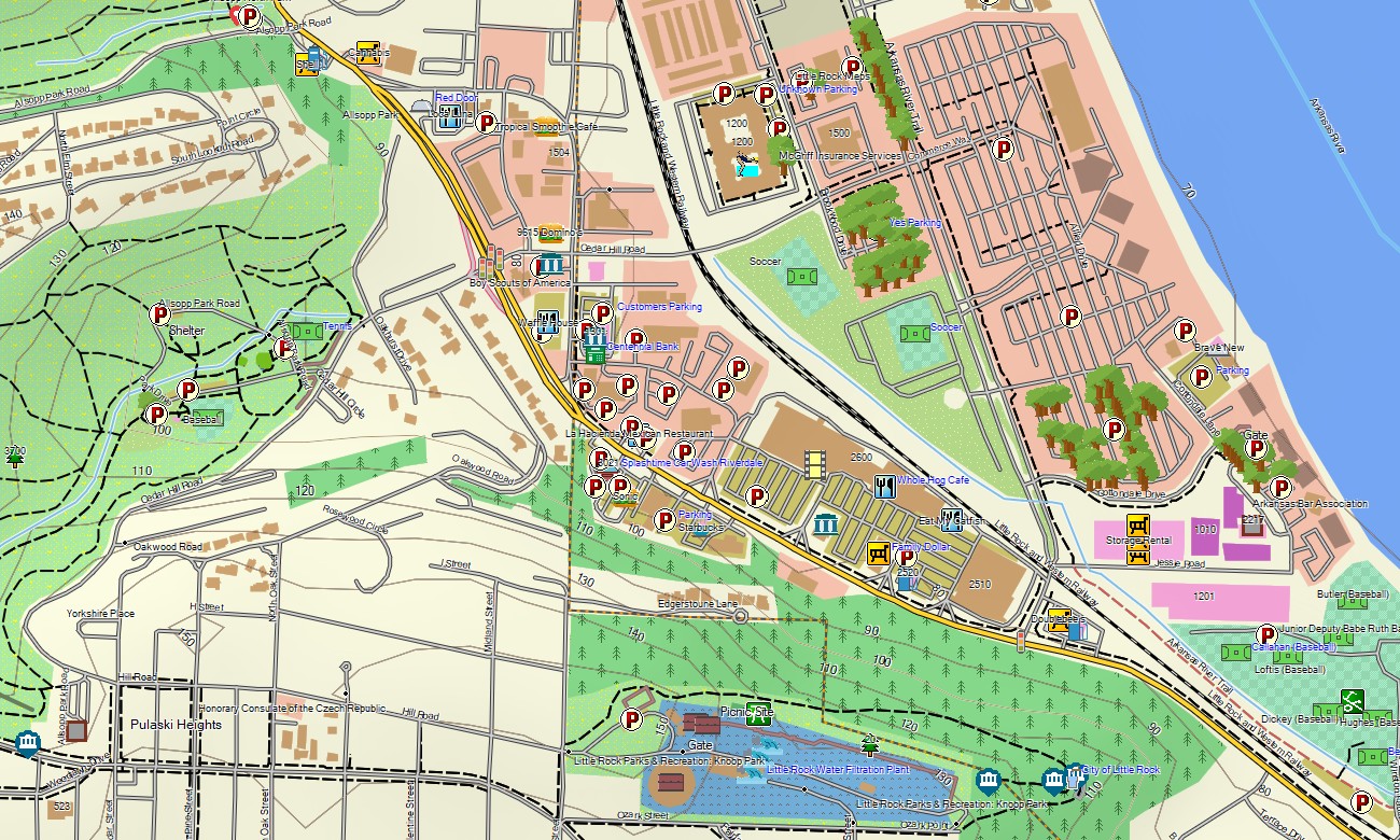
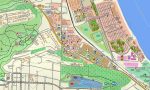
The map includes urban streets, rural roads, water features, elevation contours, recreation points, and natural landmarks. After purchase, use the download Garmin map link for installation. Garmin OSM maps are suitable for handheld receivers, vehicle navigation devices, and supported models that accept a map for Garmin watch.
Key Features:
- Topographic maps for Garmin covering Arkansas with roads, tracks, paths, rivers, lakes, caves, and elevation contours
- Natural features such as Ozark ridges, Ouachita ranges, forests, bluffs, springs, wetlands, and reservoirs
- Road coverage including interstates, state highways, county roads, forest roads, and town streets
- Points of interest: hot springs, historic squares, overlooks, boat ramps, campgrounds, caves, trailheads
- Routing support for driving on compatible Garmin devices
- Works with many handheld GPS units, vehicle navigators, and selected Garmin watch models
Only logged in customers who have purchased this product may leave a review.
Reviews
There are no reviews yet.