

Aruba Garmin topographic map
$22
Aruba topo map for Garmin
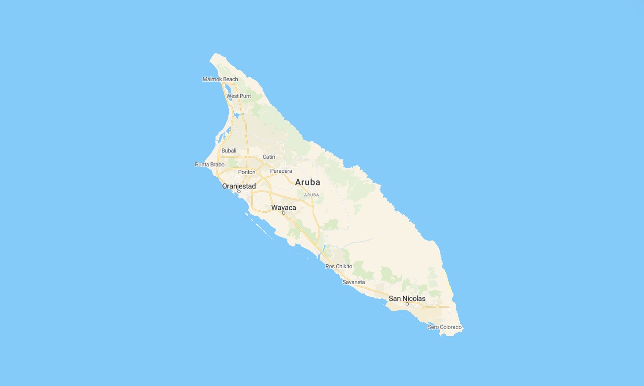
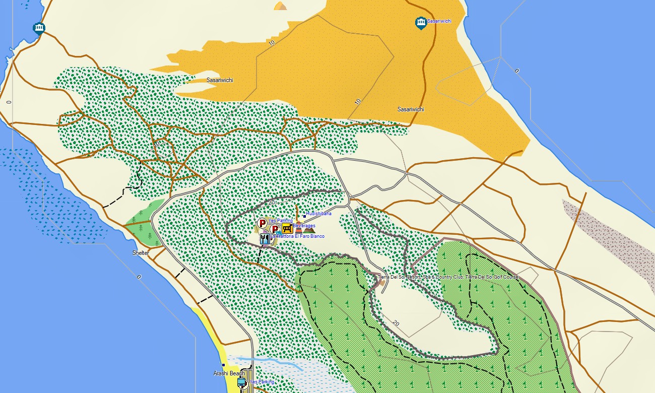
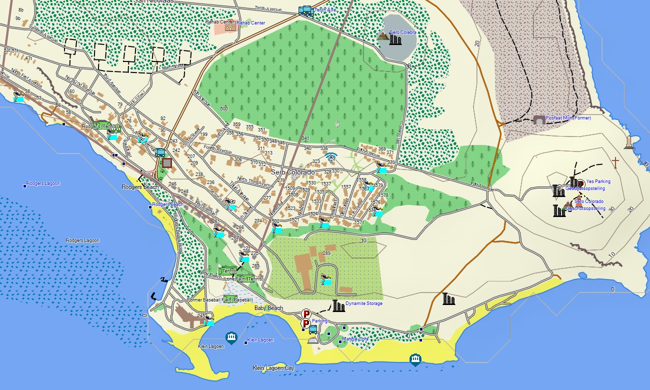
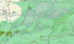
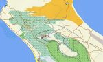
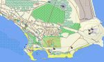
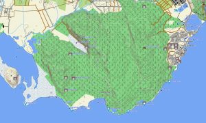
Explore the sunny desert island of Aruba with a detailed topographic Garmin map designed for navigating its unique blend of arid interior, rugged coastlines, and vibrant tourist districts. This specialized Garmin GPS map provides complete coverage from the bustling capital Oranjestad to the wild north coast and the southern beach strips, ensuring reliable guidance for both leisure and adventure.
Built as a practical OSM map tourist Garmin solution, it supports hiking tours in Arikok National Park and easy road trips along the well-mainished coastal and interior roads. These dependable outdoor maps Garmin visitors rely on function fully offline. Instant download with regular updates included ensures your Garmin map remains an accurate and up-to-date digital companion for your stay.
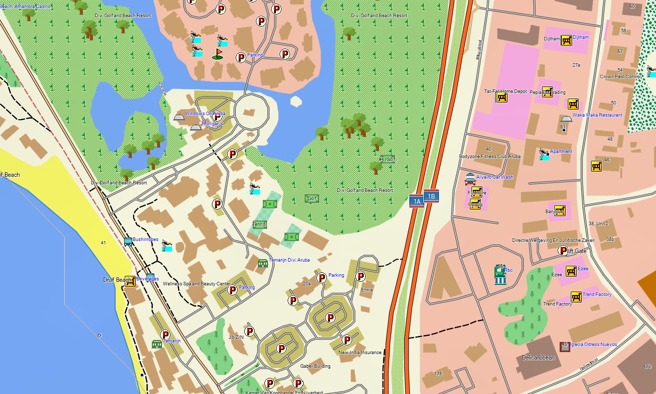
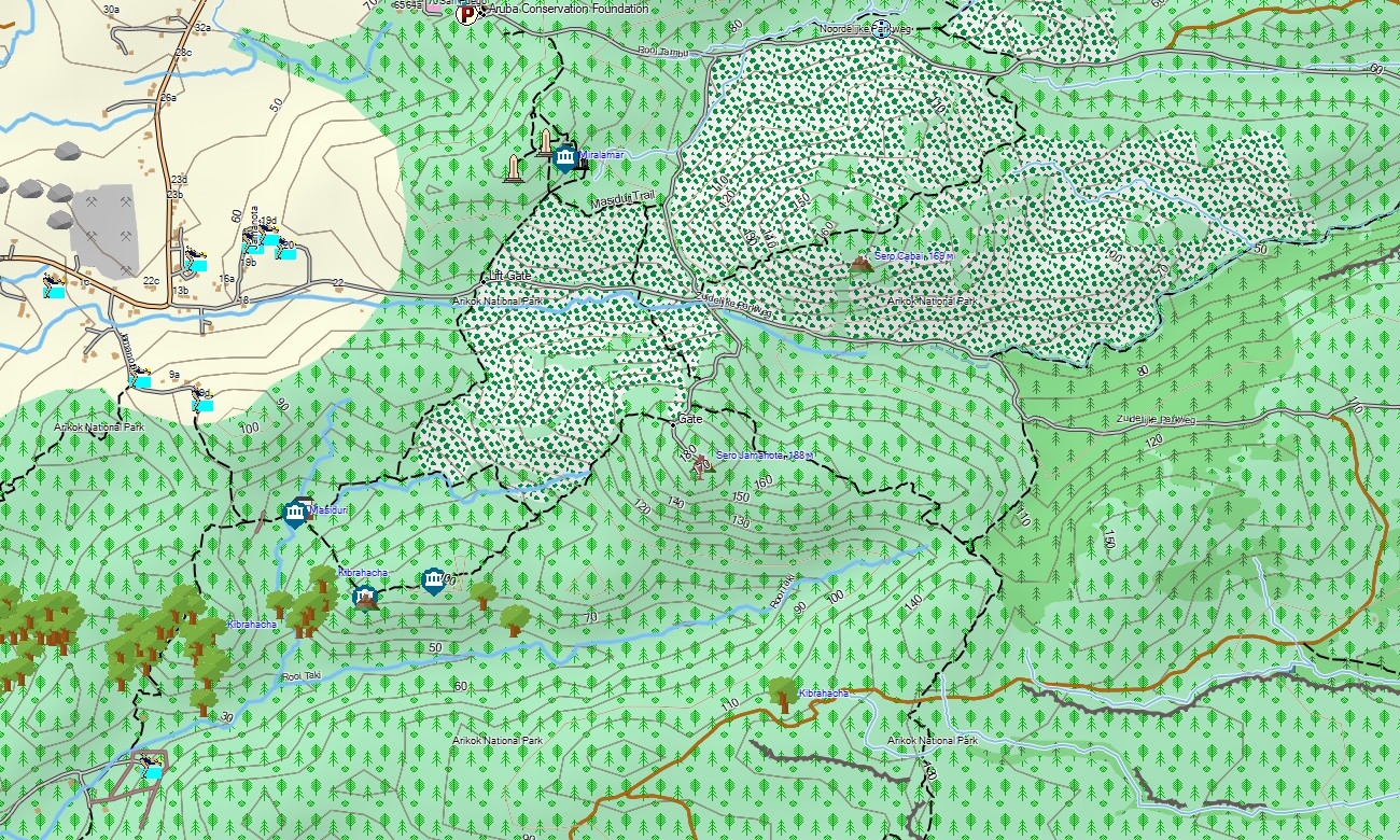
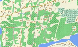
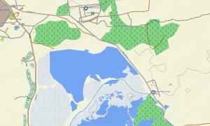
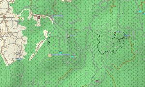
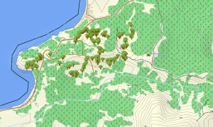
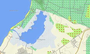
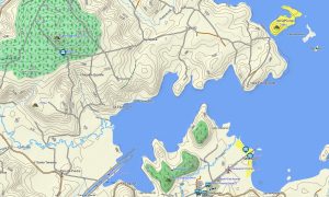
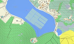
This Garmin GPS map serves as a clear OSM topo map, charting the island’s comprehensive road network, off-road tracks to natural landmarks, coastline, and subtle elevation changes. The distinctive landscape of cacti-covered hills, limestone formations, natural bridges, and sandy beaches is clearly represented, making these topographic maps for Garmin perfect for discovering the island’s natural contrasts.
Featuring integrated routing, these maps for Garmin navigator devices allow for easy planning and turn-by-turn instructions directly on your GPS. Whether driving to a secluded cove on the north shore, navigating the hotel district, or finding your way to the California Lighthouse, this Garmin map provides reliable offline guidance.
The map includes key data layers: the full island road system, detailed paths to natural attractions and beaches, and topographic information for exploring the interior. After purchase, you get an instant download link; installation is quick, and routine updates keep your Garmin OSM maps precise for this popular destination.
Key Features:
- Topographic maps for Garmin covering Aruba with roads, tracks, trails, coastline, natural pools, and elevation contours
- Natural features such as arid desert landscape, rocky coastlines, sandy beaches, limestone caves, hills, and natural bridges
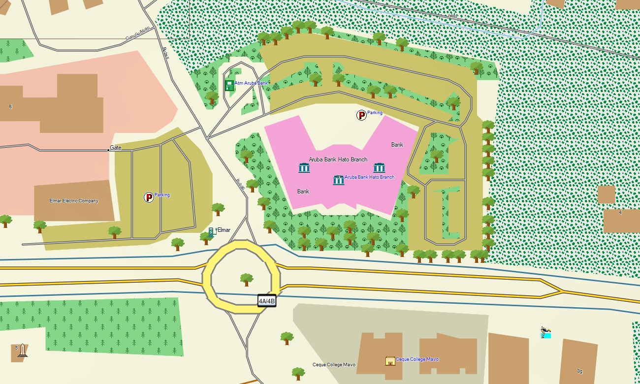
- Complete road coverage including main highways, local streets, and off-road tracks to natural sites
- Points of interest: urban infrastructure, historical sites, archaeological ruins, gold mill ruins, viewpoints, lighthouses, monuments, port facilities, beach access points
- Routing support for driving and navigation on compatible devices
- Full compatibility with handheld GPS units, automotive navigators, and as a map for Garmin watch models
Only logged in customers who have purchased this product may leave a review.
Reviews
There are no reviews yet.