
Burundi Garmin topographic map
$29
Burundi topo map for Garmin
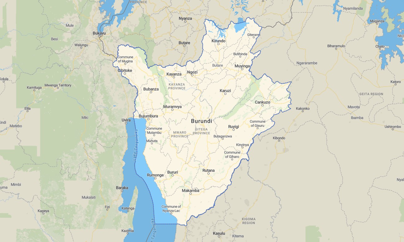
With topographic maps for Garmin, you can journey across Burundi’s majestic highlands and discover one of East Africa’s most scenic landscapes. Whether you’re following winding mountain paths, exploring the lush rainforests of Kibira, or traveling along the breathtaking shoreline of Lake Tanganyika, this topographic maps for Garmin provides the essential information you need for a memorable adventure.
Plan car trips, mountain hikes, or bike tours and navigate them independently with full routing support. Delivered as an instant download and updated regularly, this map turns your Garmin into a reliable companion for confident travel across Burundi’s rugged and picturesque terrain.
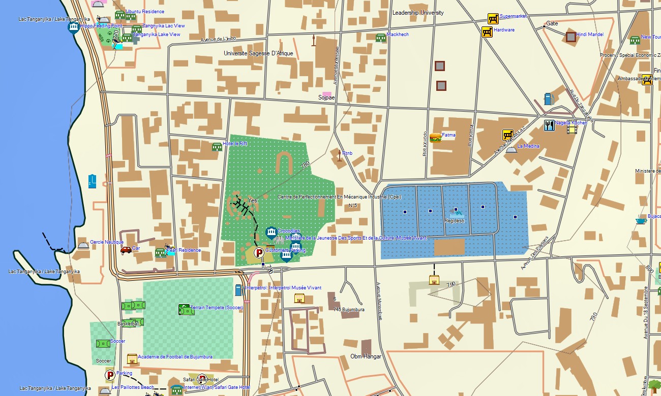
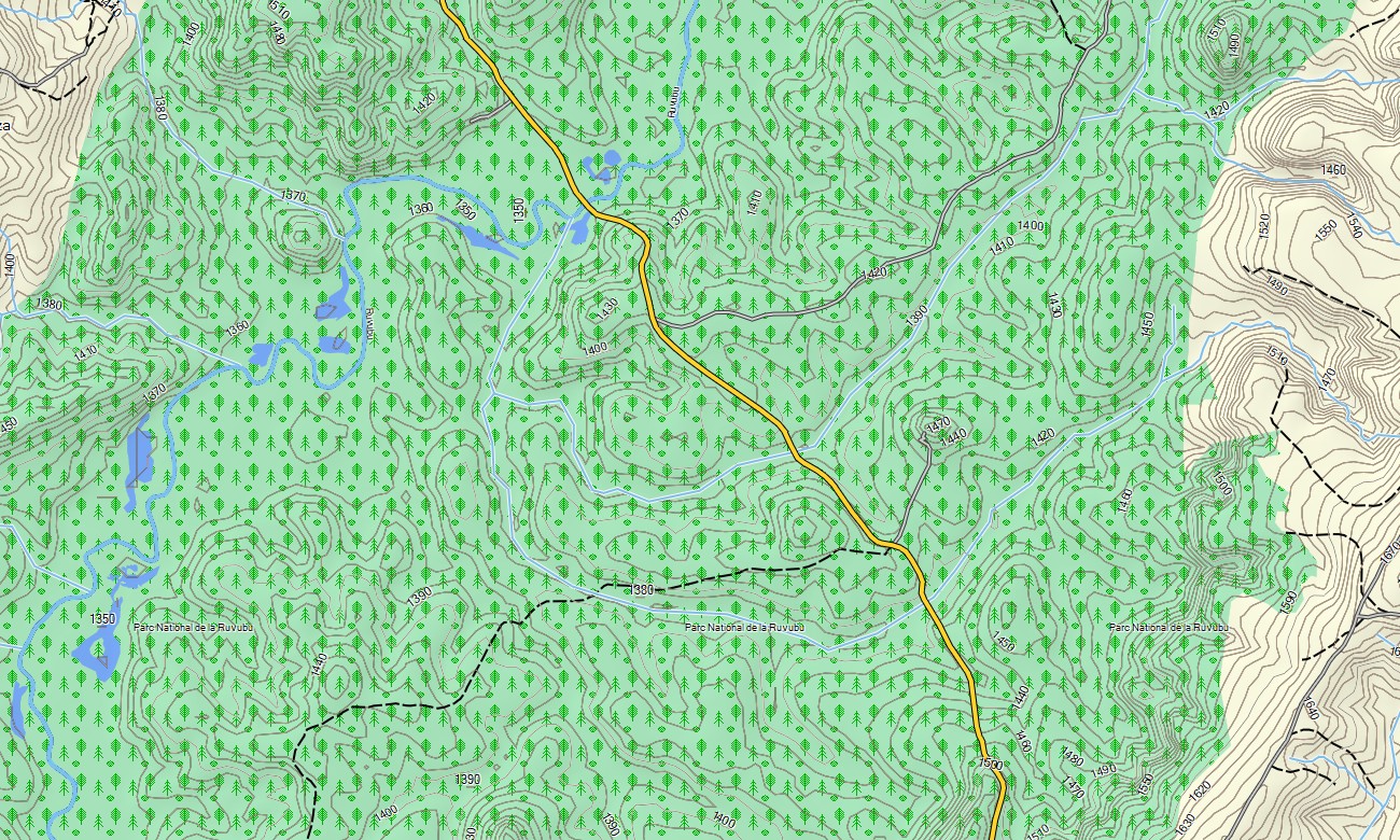
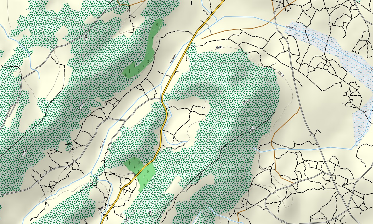
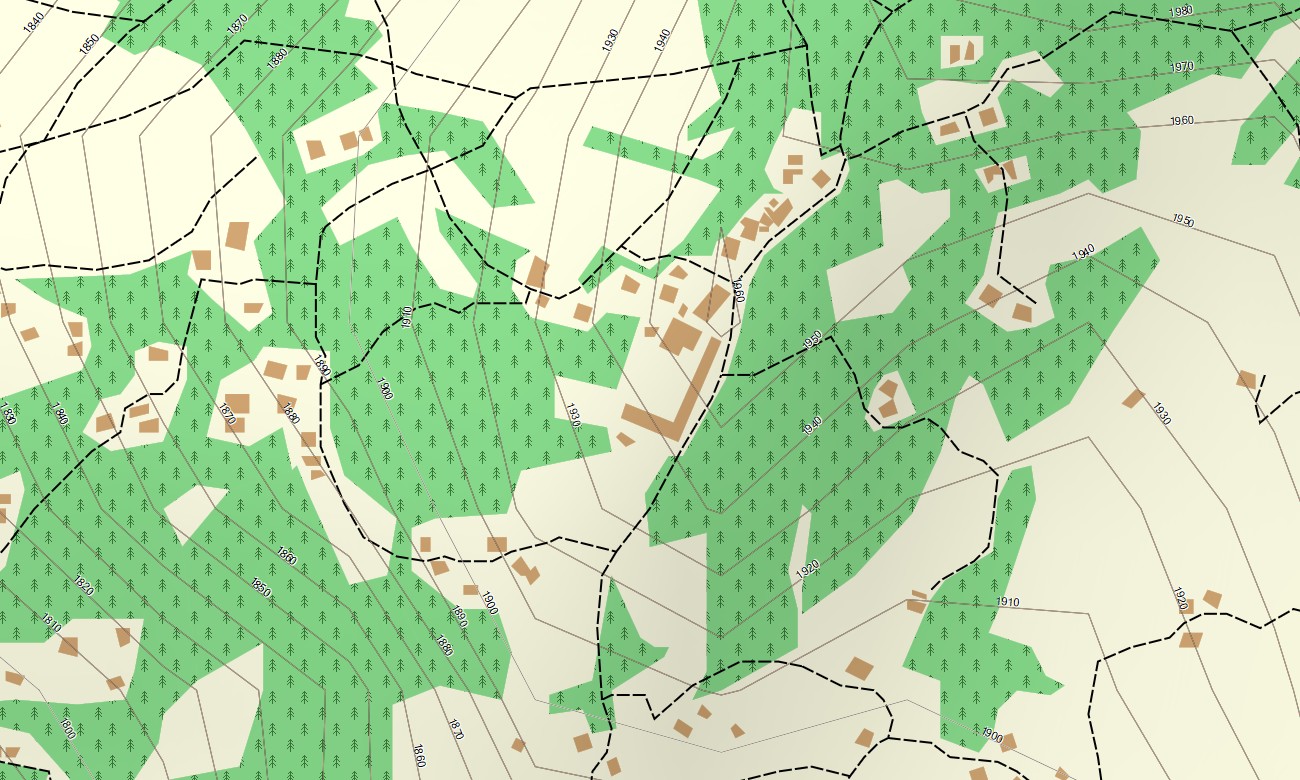
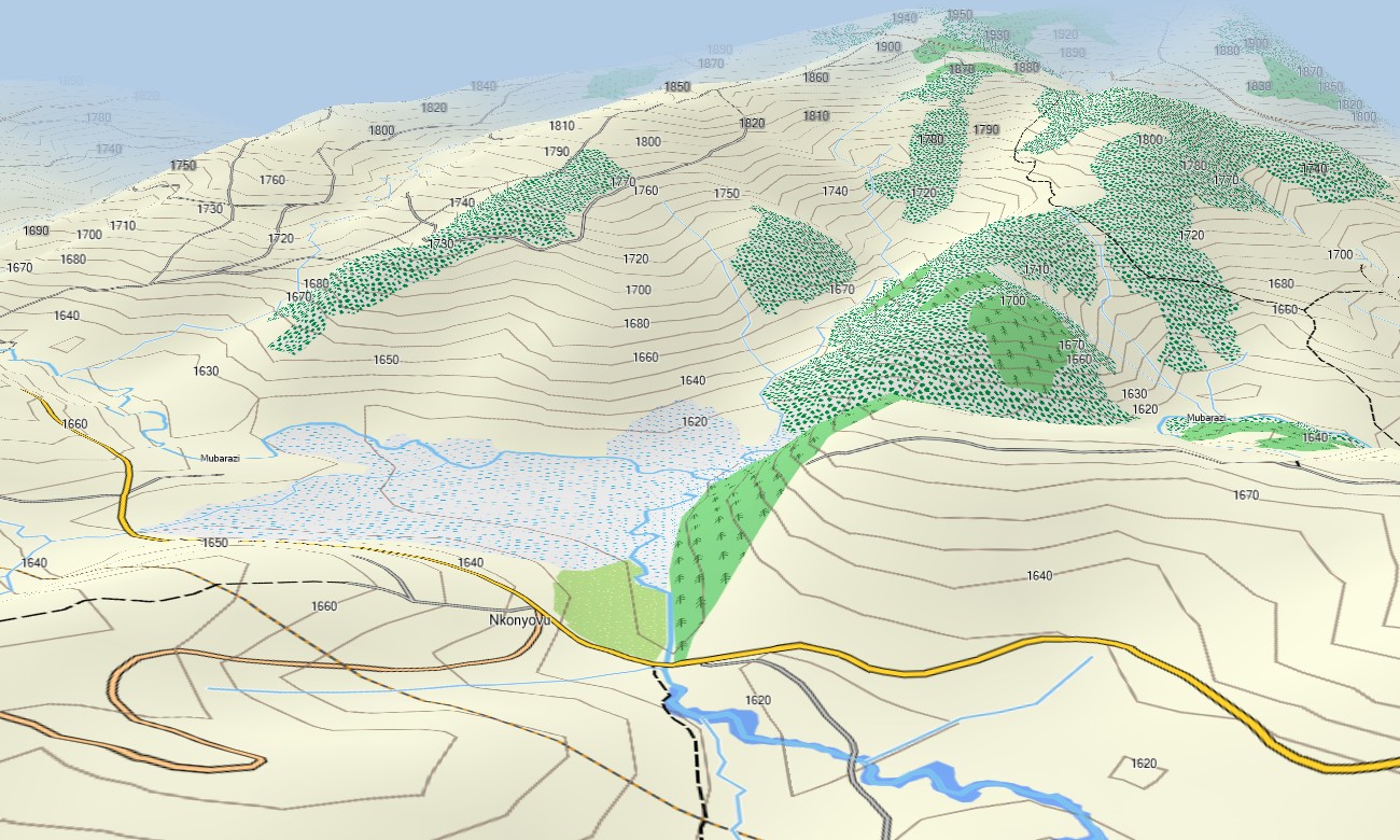
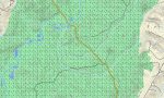
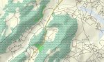
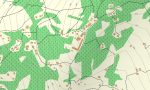
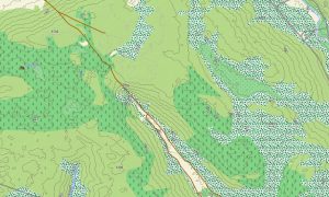
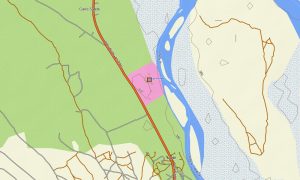
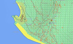
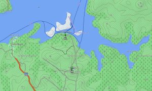
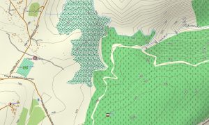
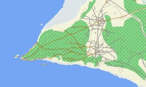
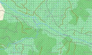
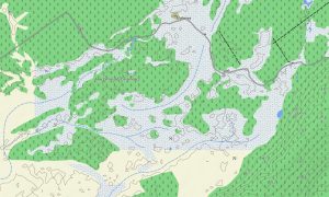
The Garmin map of Burundi stands out for its accuracy and level of detail, showing not only main roads and urban streets but also the natural character of this mountainous country. It includes hiking trails, rivers, streams, lakes, steep contours, wetlands, tea-covered hillsides, and forested slopes. This tourist Garmin osm map helps you reach remote viewpoints, explore cultural landmarks, discover waterfalls, and experience Burundi’s unique landscapes safely and confidently. Immerse yourself in an unforgettable journey across the highlands, valleys, and nature reserves of Burundi with outdoor-ready Garmin maps!
With built-in routing, the topographic map lets you plan complete journeys directly on your device — from long-distance road trips between cities to hiking routes through the mountains or cycling tours across rolling highlands. Accurate itineraries can be created and followed with confidence, even in areas with no internet coverage.
The package combines several layers: full road coverage for intercity and regional travel, detailed street navigation for towns and cities, and comprehensive topographic data for off-road and wilderness exploration. After purchase, you receive an instant download link. Installation takes only minutes, and regular updates keep your map accurate and dependable.
Key Features:
- Topographic Garmin map of Burundi with roads, unpaved tracks, trails, railways, rivers, lakes, and wetlands
- Natural features such as mountain ridges, hills, rainforests, savannas, and the shores of Lake Tanganyika
- Points of Interest: sights, viewpoints, waterfalls, cultural sites
- Full coverage of highways, regional routes, and detailed city streets
- Routing support for driving, hiking, and cycling trips
- Works fully offline — no internet connection required
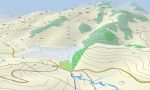
- The map contains contours of heights
Only logged in customers who have purchased this product may leave a review.
Reviews
There are no reviews yet.