

California Garmin topographic map
$25
California topo map for Garmin
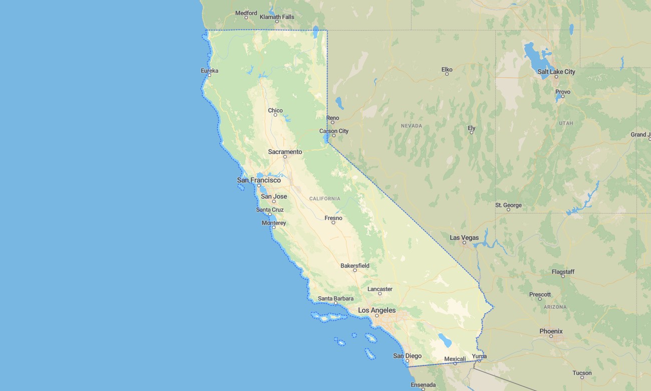
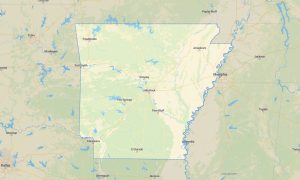
Explore California from the Pacific shoreline to the Sierra Nevada, Mojave Desert, redwood forests, volcanic peaks, and Central Valley with detailed Garmin maps for travel and outdoor navigation. This Garmin GPS map covers Los Angeles, San Francisco, San Diego, Sacramento, Fresno, Lake Tahoe, Yosemite, Death Valley, coastal highways, and mountain roads.
Built as a versatile OSM map tourist Garmin resource, it supports hiking, touring, cycling, camping, road trips, desert routes, and backcountry access. These outdoor maps Garmin users depend on operate offline, making the Garmin map useful for both dense metropolitan areas and remote landscapes where mobile service can be unreliable.
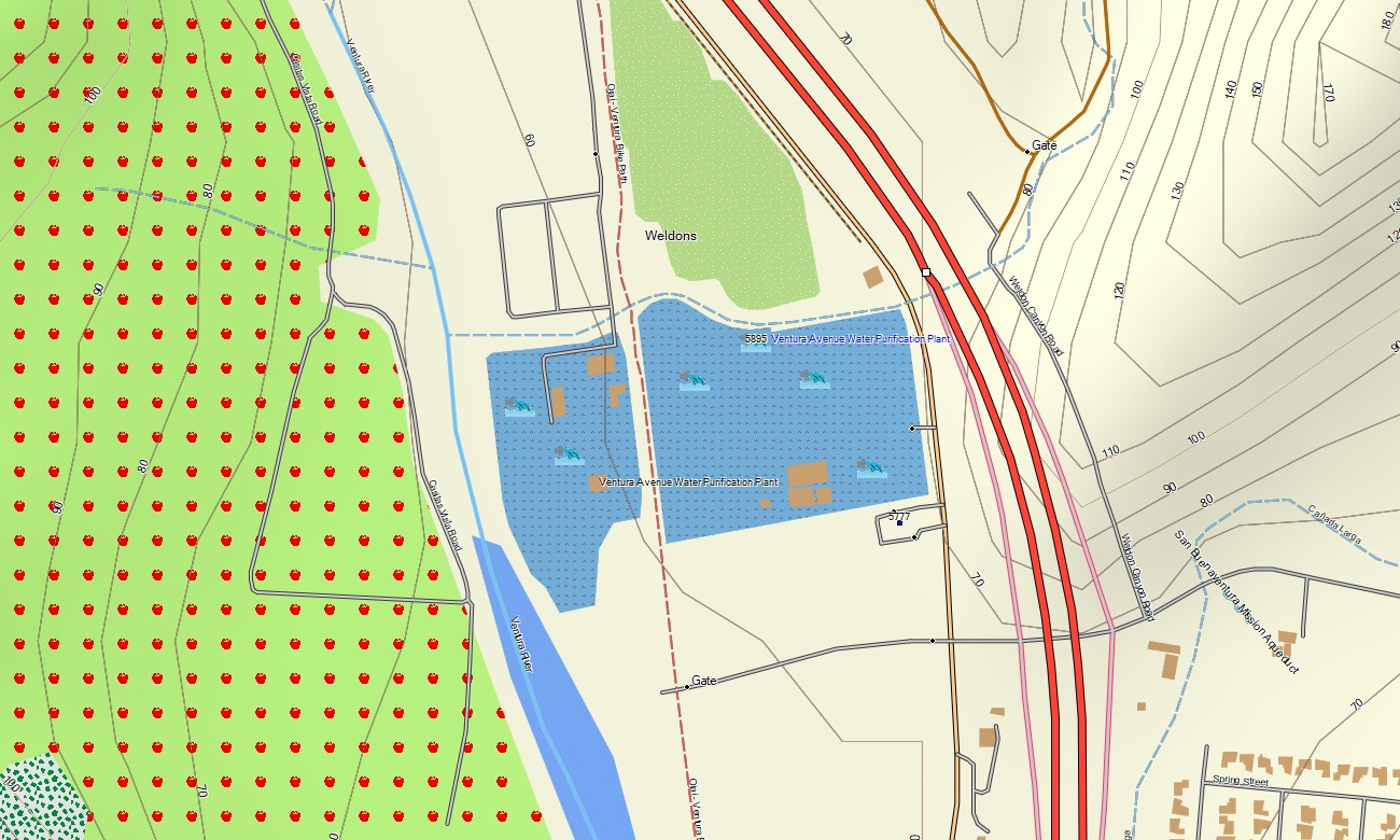
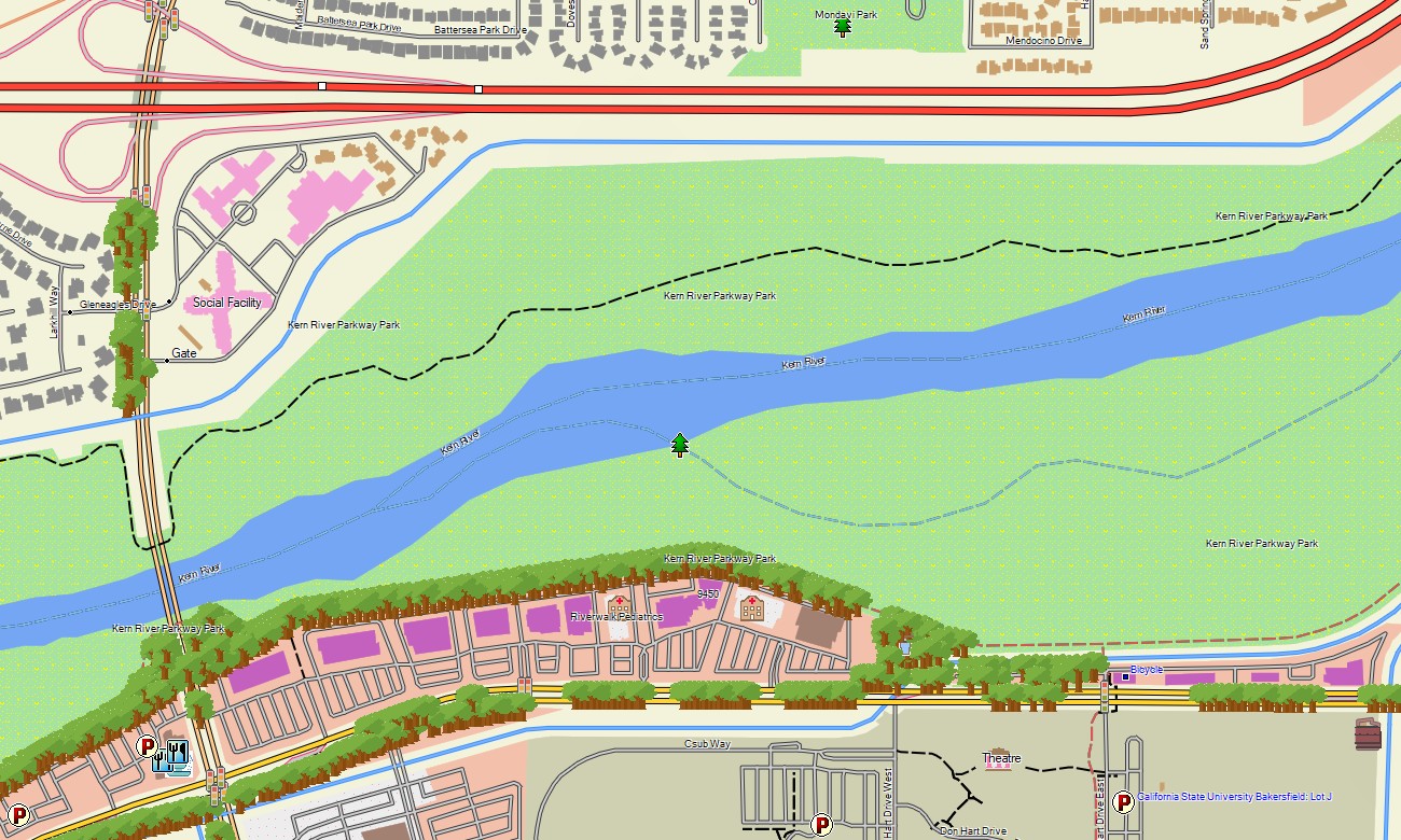
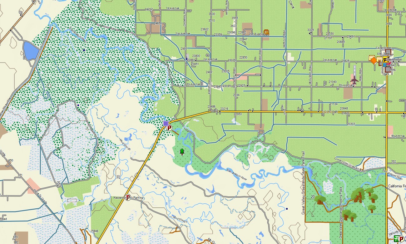
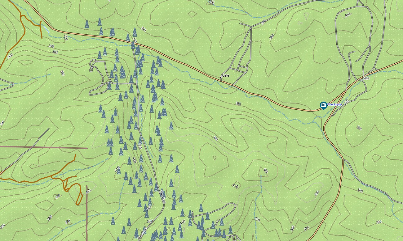
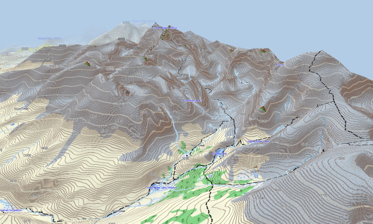
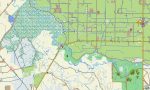
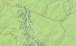
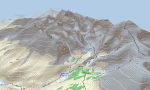
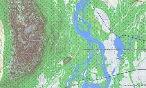
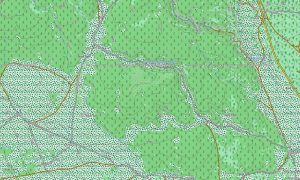
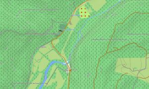
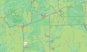
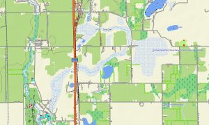
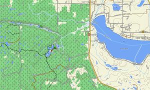
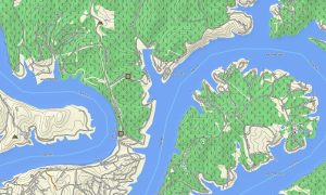
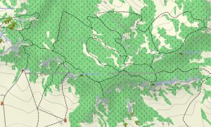
This Garmin GPS map works as an OSM topo map, displaying interstate corridors, urban streets, rural roads, trails, forest tracks, rivers, lakes, shorelines, passes, valleys, and elevation contours. Created from open street maps Garmin compatible data, these OSM topographic maps help users interpret California’s sharp contrasts in relief and climate.
With routing support, these maps for Garmin navigator devices assist with planning along US-101, CA-1, I-5, Sierra passes, desert highways, and city networks. Whether driving through Los Angeles, visiting national parks, or navigating coastal towns, this Garmin map provides dependable offline direction.
The map combines road data, topographic detail, water features, recreation trails, urban layouts, and natural landmarks. After purchase, use the download Garmin map link for setup on compatible devices. Garmin OSM maps are practical for handheld GPS units, automotive receivers, outdoor devices, and supported models using a map for Garmin watch.
Key Features:
- Topographic maps for Garmin covering California with roads, tracks, trails, rivers, lakes, coastlines, and elevation contours
- Natural features such as beaches, redwoods, deserts, granite peaks, valleys, volcanoes, islands, and alpine lakes
- Road coverage including interstates, coastal highways, mountain passes, city streets, and rural access roads
- Points of interest: missions, trailheads, viewpoints, harbors, campgrounds, monuments, ski areas, visitor centers
- Routing support for driving and long-distance navigation on compatible Garmin devices
- Full compatibility with many handheld GPS units, automotive navigators, and selected Garmin watch models
Only logged in customers who have purchased this product may leave a review.
Reviews
There are no reviews yet.