



Cambodia Garmin topographic map
$29
Cambodia topo map for Garmin
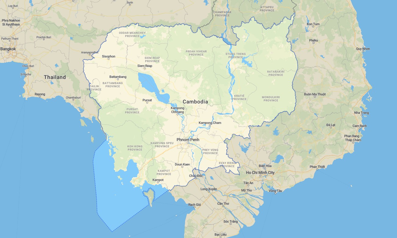
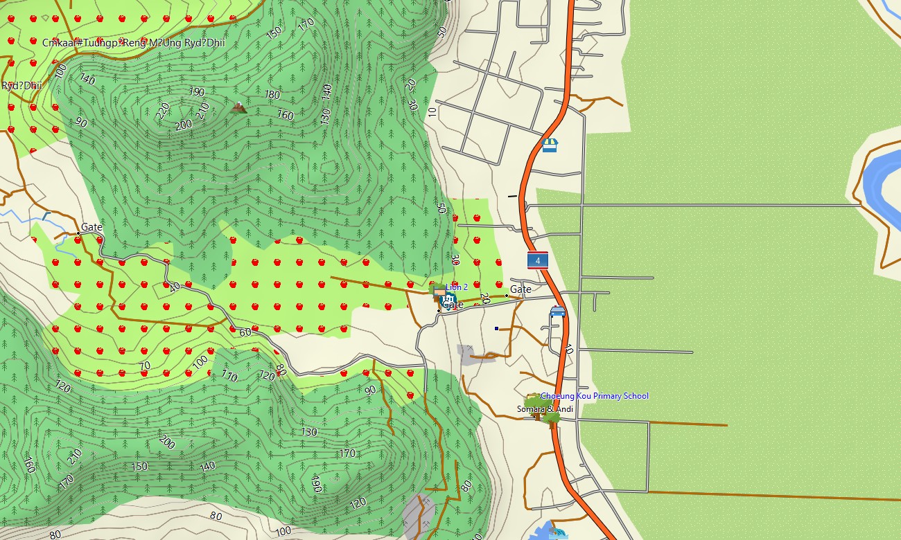
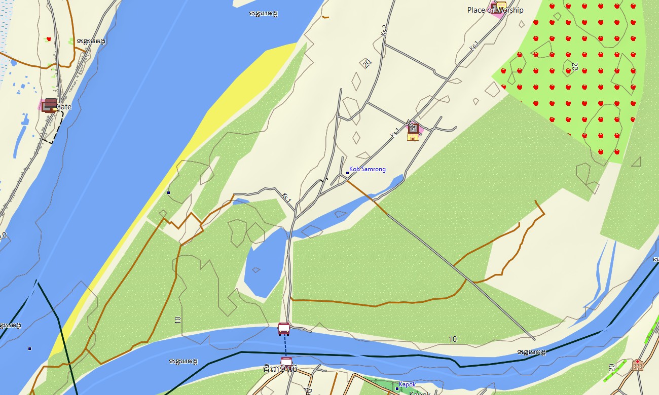
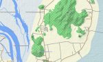
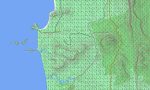
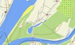
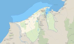
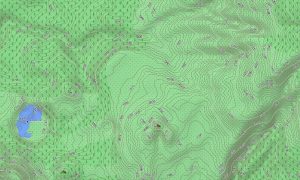
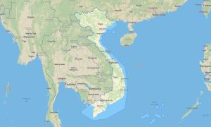
Explore Cambodia’s temple complexes, river plains, and forested hills with a detailed topographic Garmin map tailored to both cultural and outdoor travel. This Garmin GPS map covers Phnom Penh, Siem Reap and Angkor, Tonle Sap, coastal provinces, and upland regions, giving a single view that enhances standard Garmin maps with terrain awareness.
Developed as an OSM map tourist Garmin solution, it supports visits to Angkor’s archaeological sites, Mekong river journeys, and trekking in the Cardamom Mountains. These outdoor maps Garmin users rely on work completely offline, keeping your Garmin map available on remote dirt roads, forest paths, and rural ferries.
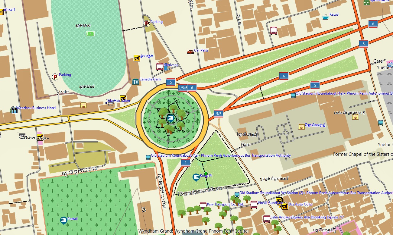
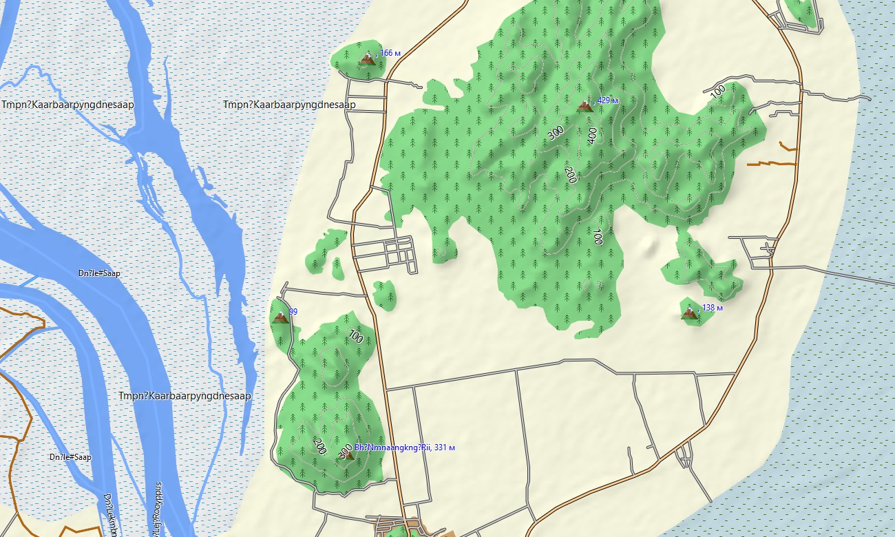
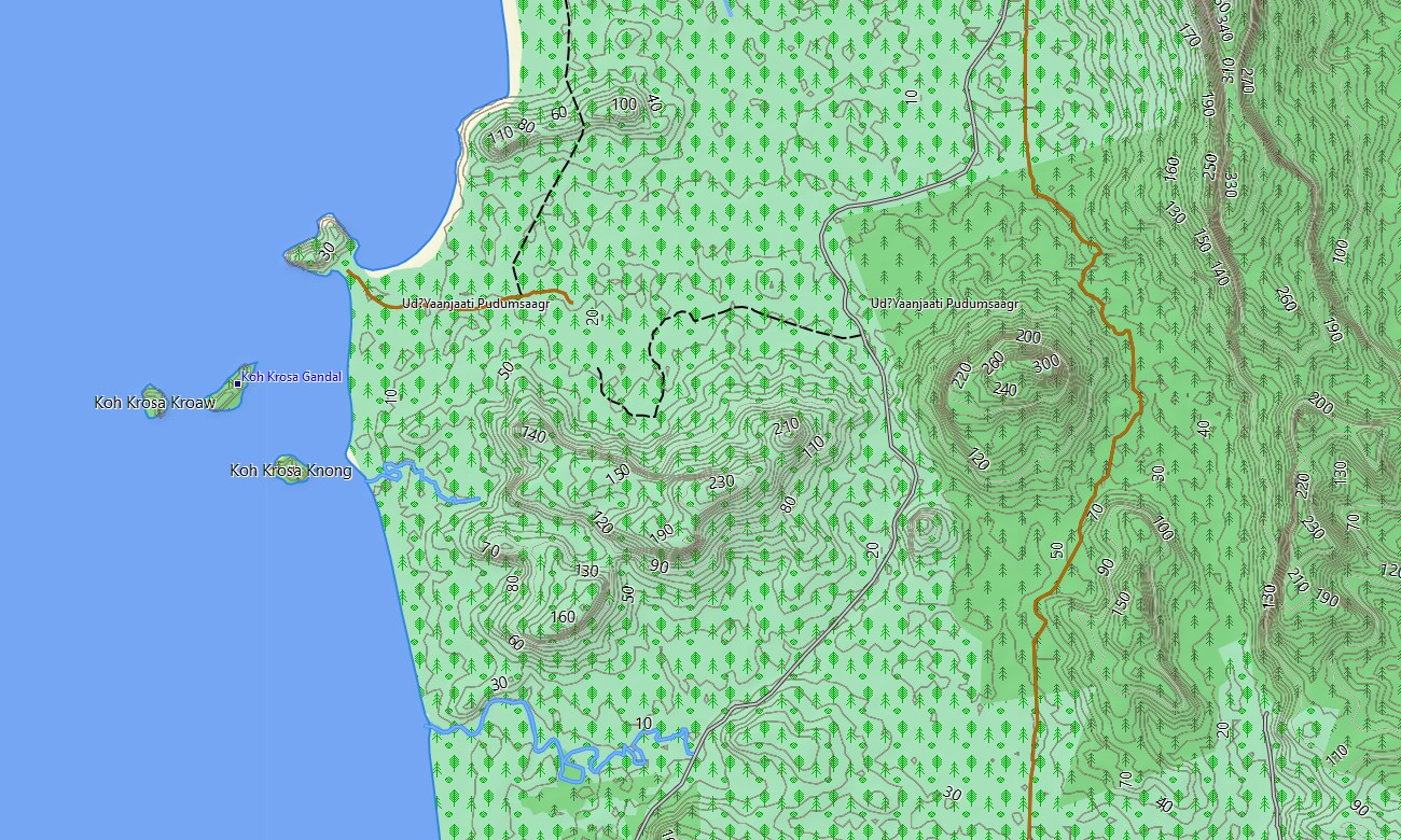
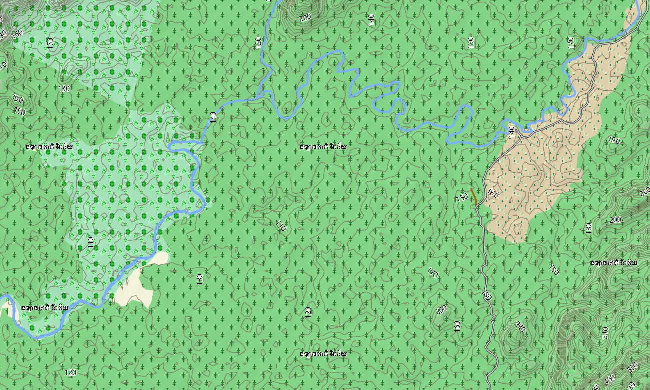
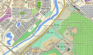
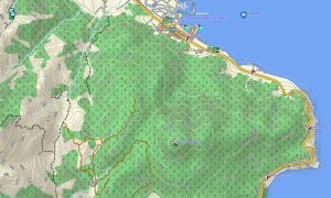
Working as a comprehensive OSM topo map, it blends contour lines, rivers, canals, irrigation systems, village tracks, and footpaths. Open street maps Garmin data adds detailed city streets, markets, and industrial zones, while OSM topographic maps provide elevation for recognizing escarpments, plateaus, and valley floors.
Routing-ready maps for Garmin navigator devices calculate journeys along national highways, provincial roads, and urban networks. Drivers can follow the same Garmin GPS map for city transfers, intercity buses, and excursions to remote temples, all with offline turn-by-turn guidance.
For outdoor enthusiasts, this Garmin map also functions as a map for Garmin watch on compatible hiking and running wearables. Users can load Garmin OSM maps for particular provinces, then follow OSM topo map lines for day hikes and exploratory trips.
The layered design combines transport, hydrography, relief, land cover hints, and settlements, turning topographic maps for Garmin into a strong planning tool for NGOs, tour operators, and independent travelers. Waterways, floodplains, and hill ranges stand out clearly, aiding safe route selection.
Distributed as downloadable Garmin OSM maps, the product includes an instant download Garmin map link after purchase. Routine updates incorporate new roads, corrected river courses, and additional points of interest, ensuring your Garmin maps stay relevant across Cambodia’s changing landscape.
Key Features:
- Topographic maps for Garmin covering Cambodia with highways, secondary roads, rural tracks, village paths, rivers, canals, lakes, and elevation contours
- Natural features such as lowland floodplains, Tonle Sap, upland plateaus, forested mountains, waterfalls, and coastal areas are displayed on the OSM topographic maps
- OSM topo map data helps users see terrain structure and water networks, important for planning travel during wet and dry seasons
- Open street maps Garmin layers deliver dense street detail and points of interest for Phnom Penh, Siem Reap, and other major towns
- Routing on maps for Garmin navigator devices supports tourist circuits, logistics, and regional bus corridors with offline guidance
- Outdoor maps Garmin users can download Garmin map portions per region, ideal for handheld GPS units used in field projects and trekking
- Garmin OSM maps operate on a wide range of handhelds and can be installed as a map for Garmin watch where compatible
- The Garmin map, based on an OSM map tourist Garmin foundation, turns the Garmin GPS map into a versatile companion for temple visits, river trips, and backcountry exploration
Only logged in customers who have purchased this product may leave a review.

Reviews
There are no reviews yet.