
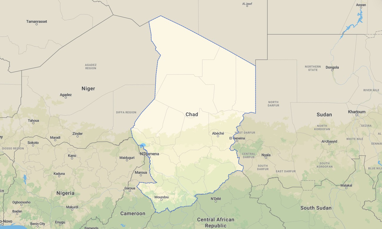
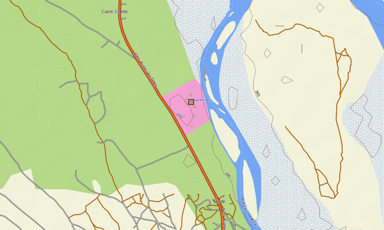
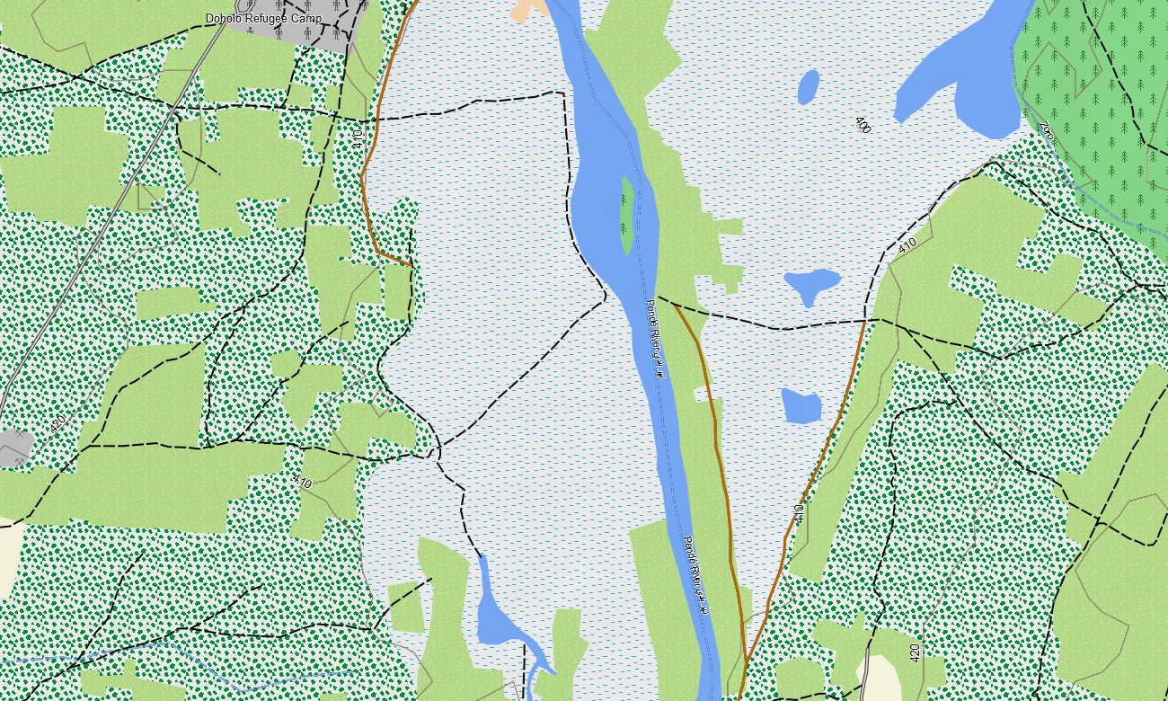
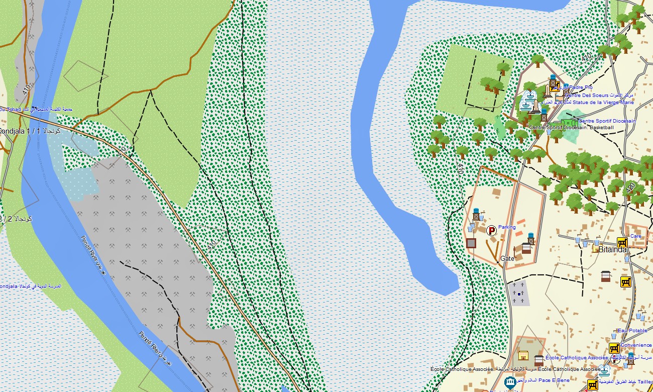
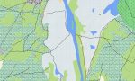
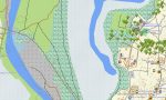
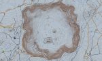
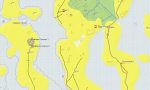
Chad Garmin topographic map
$29
Chad topo map for Garmin
Experience Chad like never before with a topographic Garmin map built for true adventure. From the towering volcanic peaks to the sculpted sandstone arches and from the shifting dunes of the Sahara to the life-filled shores of Lake Chad, this Garmin GPS map gives you the tools to move confidently through a country defined by extremes.
Whether you’re preparing a long off-road expedition, navigating remote wadis, or exploring hidden canyons. Delivered as an instant download and updated regularly, this map for Garmin Navigator provides reliable guidance where signs, tracks, and landmarks are scarce.
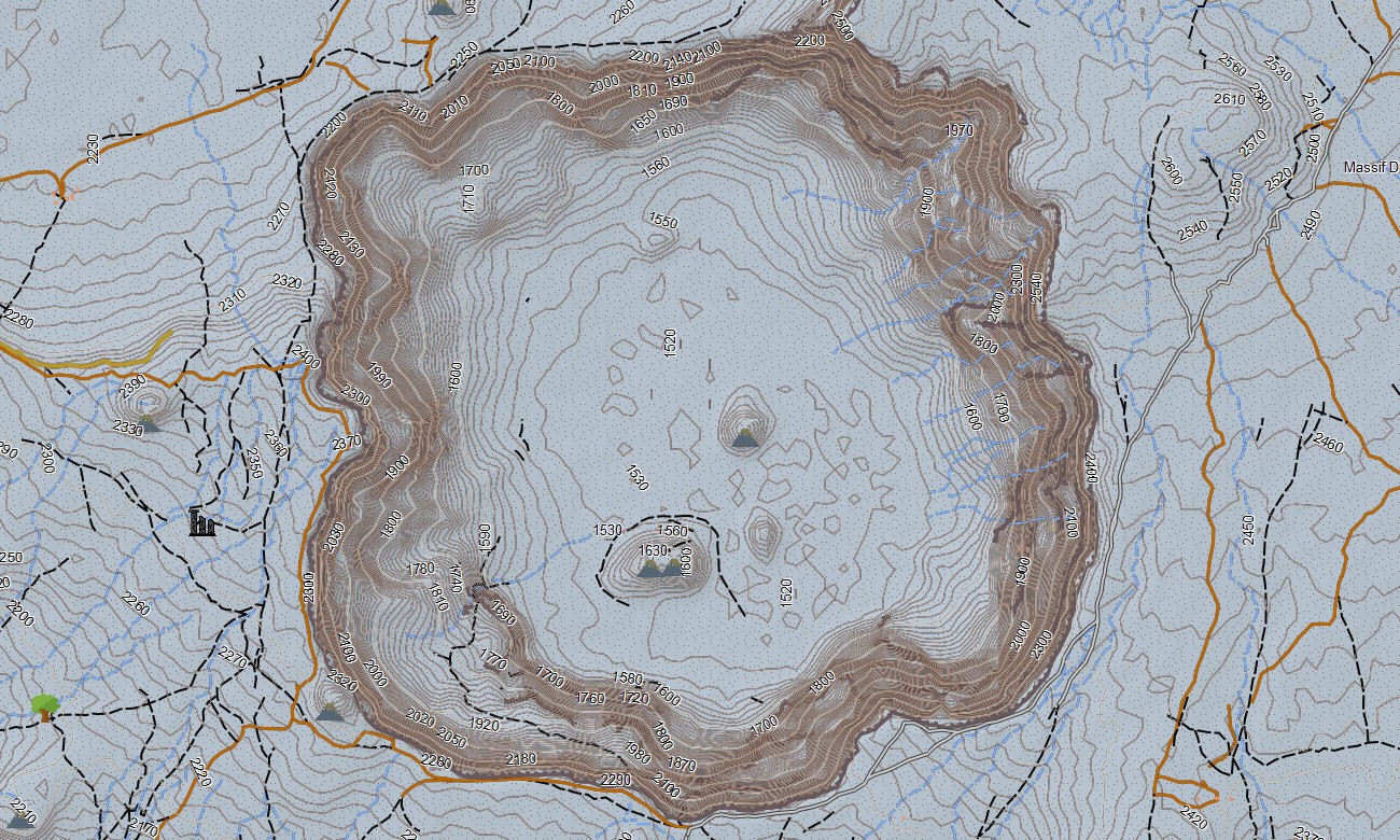
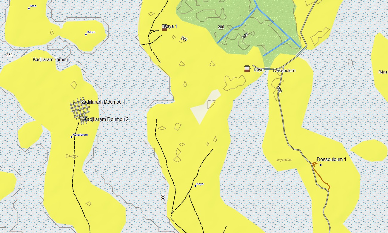
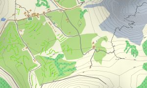
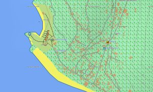
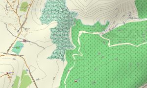
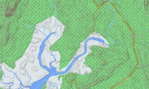
Navigate Chad’s wild landscapes designed for Garmin outdoor devices, this topographic maps for Garmin package includes detailed desert tracks, elevation contours, seasonal rivers, lakes, volcanic fields, protected areas, and remote villages. Off-road navigation between isolated settlements All data can be used completely offline — ideal for a country where mobile coverage is limited outside major towns. Garmin maps perfectly reflect the character of the terrain, making them indispensable for both everyday trips and active recreation.
Reliable routing in remote terrain, the map includes routing support so you can create and follow routes directly on your device. Whether driving, hiking, or cycling, your Garmin map provides stable navigation across long distances. Even in the deep Sahara, your planned path remains accessible and accurate without internet access.
The map includes several layers: full road coverage for intercity and regional travel, detailed street navigation for towns and cities, and comprehensive topo data for off-road exploration. After purchase, you receive an instant download link, installation takes only minutes, and regular updates keep your map accurate and reliable.
Key Features:
- Topo Garmin map of Chad with desert tracks, off-road routes, trails, wadis
- Natural features such as mountain ranges, volcanic peaks, canyons, cliffs, dunes, plateaus, lakes
- Points of Interest: museums, markets, historical sites, lakes, and cultural centers
- Full coverage of highways, regional routes, and detailed urban streets
- Routing support for driving, hiking, and cycling trips
- Works fully offline — no internet connection required
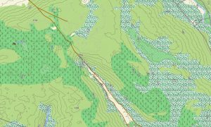
- The map contains contours of heights
Only logged in customers who have purchased this product may leave a review.

Reviews
There are no reviews yet.