
Chongqing Garmin topographic map
$29
Chongqing topo map for Garmin
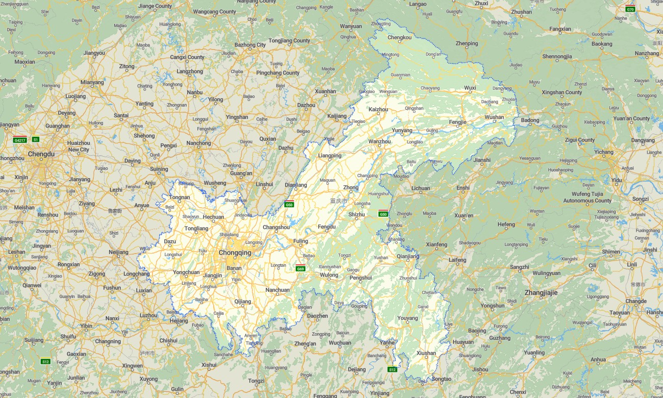
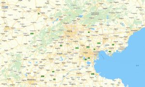
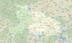
Explore Chongqing’s mountain city streets, Yangtze River gorges, steep urban districts, karst landscapes, bridges, tunnels, rural counties, and scenic river routes with detailed Garmin maps created for reliable offline navigation. This Garmin GPS map covers central Chongqing, Wanzhou, Fuling, Dazu, Wulong, Qianjiang, the Three Gorges area, and surrounding mountain roads.
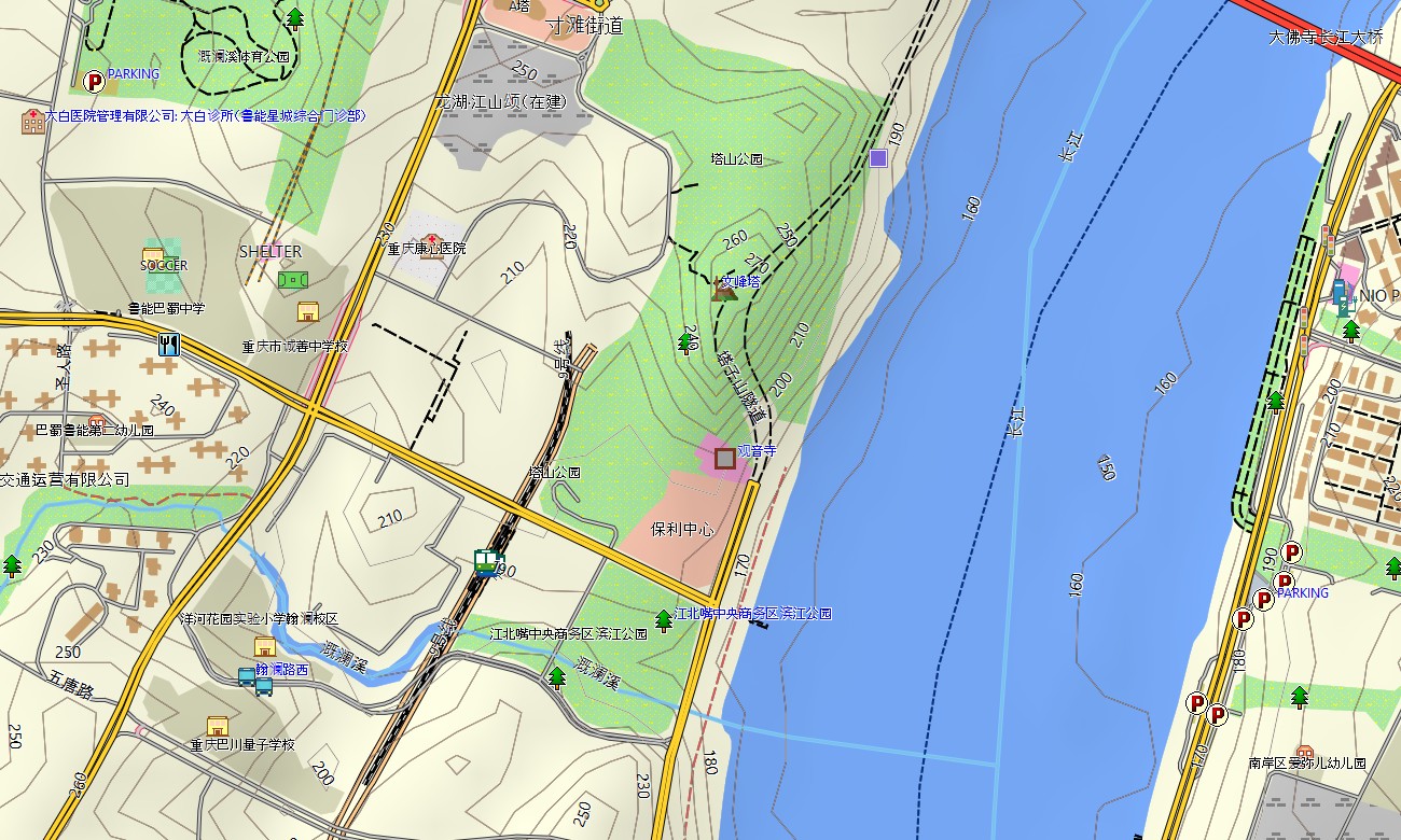
Designed as a practical OSM map tourist Garmin solution, the map supports city driving, hiking, cycling, cultural sightseeing, river travel, business trips, and rural exploration. These outdoor maps Garmin users rely on include elevated roads, urban streets, mountain lanes, walking paths, rivers, reservoirs, bridges, tunnels, viewpoints, villages, and tourist services.
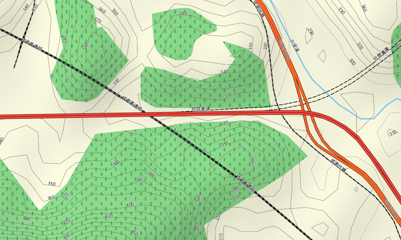
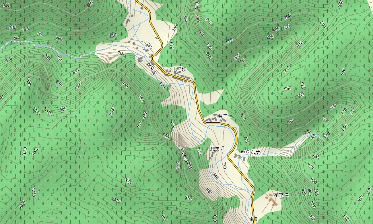
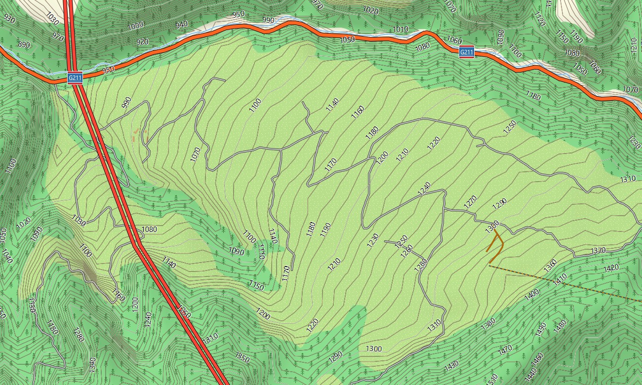
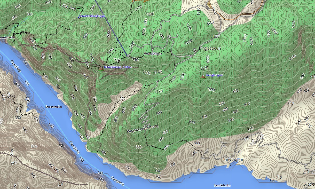
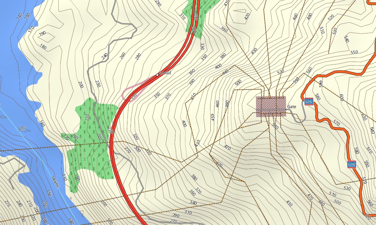
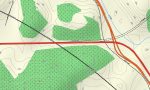
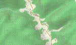
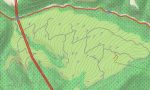
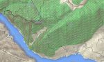
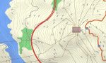
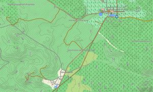
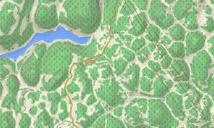
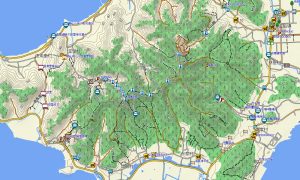
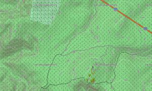
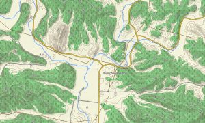
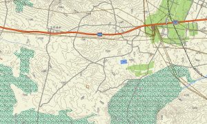
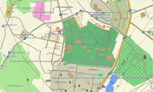
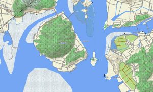
This Garmin GPS map also works as a detailed OSM topo map, displaying elevation contours, steep slopes, river valleys, karst gorges, forest tracks, settlement layers, and urban terrain. The Garmin map is especially useful in Chongqing because short distances may involve sharp elevation changes, complex road levels, tunnels, stairways, and bridges across deep river valleys.
Built from open street maps Garmin compatible data, the product provides strong detail for dense urban areas, rural districts, scenic parks, river corridors, and mountain counties. After purchase, users can download Garmin map files quickly and install them before traveling through places where mobile coverage or urban orientation may be challenging.
Updated Garmin OSM maps help keep road interchanges, trail access, scenic entrances, tourist points, village lanes, and public facilities more accurate over time. Maps for Garmin navigator devices support driving through city districts, reaching river ports, planning mountain routes, visiting heritage sites, and navigating between hotels, viewpoints, parks, caves, bridges, and rural towns.
A map for Garmin watch is useful for hikers, runners, cyclists, walkers, and travelers following riverside paths, stairway routes, mountain trails, park loops, and historic streets. These OSM topographic maps and topographic maps for Garmin provide dependable offline guidance across Chongqing’s dramatic vertical terrain and complex urban-rural landscape.
Key Features:
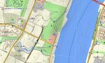
- Topographic maps for Garmin covering Chongqing include elevated roads, urban streets, rural lanes, mountain tracks, hiking trails, rivers, reservoirs, bridges, tunnels, villages, scenic areas, and elevation contours
- Natural features include the Yangtze River, Jialing River, Three Gorges landscapes, Wulong karst, Dazu hills, forested valleys, limestone gorges, reservoirs, mountain ridges, and river terraces
- Road coverage includes city expressways, national highways, provincial roads, tunnel networks, bridge approaches, mountain roads, village tracks, scenic-area routes, ferry approaches, and rural access corridors
- Points of interest include Dazu Rock Carvings, Wulong karst sites, river viewpoints, old streets, museums, temples, caves, hot springs, railway stations, hotels, parks, and cultural landmarks
- Routing support helps compatible maps for Garmin navigator devices guide drivers, cyclists, walkers, and tourists through Chongqing city, mountain districts, river corridors, scenic parks, and rural counties
- The map is presented in two versions: with labels in Latin characters and with labels in Chinese characters
- Full compatibility is available for handheld Garmin GPS units, automotive navigators, outdoor devices, cycling computers, and supported models using a map for Garmin watch with OSM topographic maps
Only logged in customers who have purchased this product may leave a review.
Reviews
There are no reviews yet.