
Congo Brazzaville Garmin topographic map
$29
Congo Brazzaville topo for Garmin
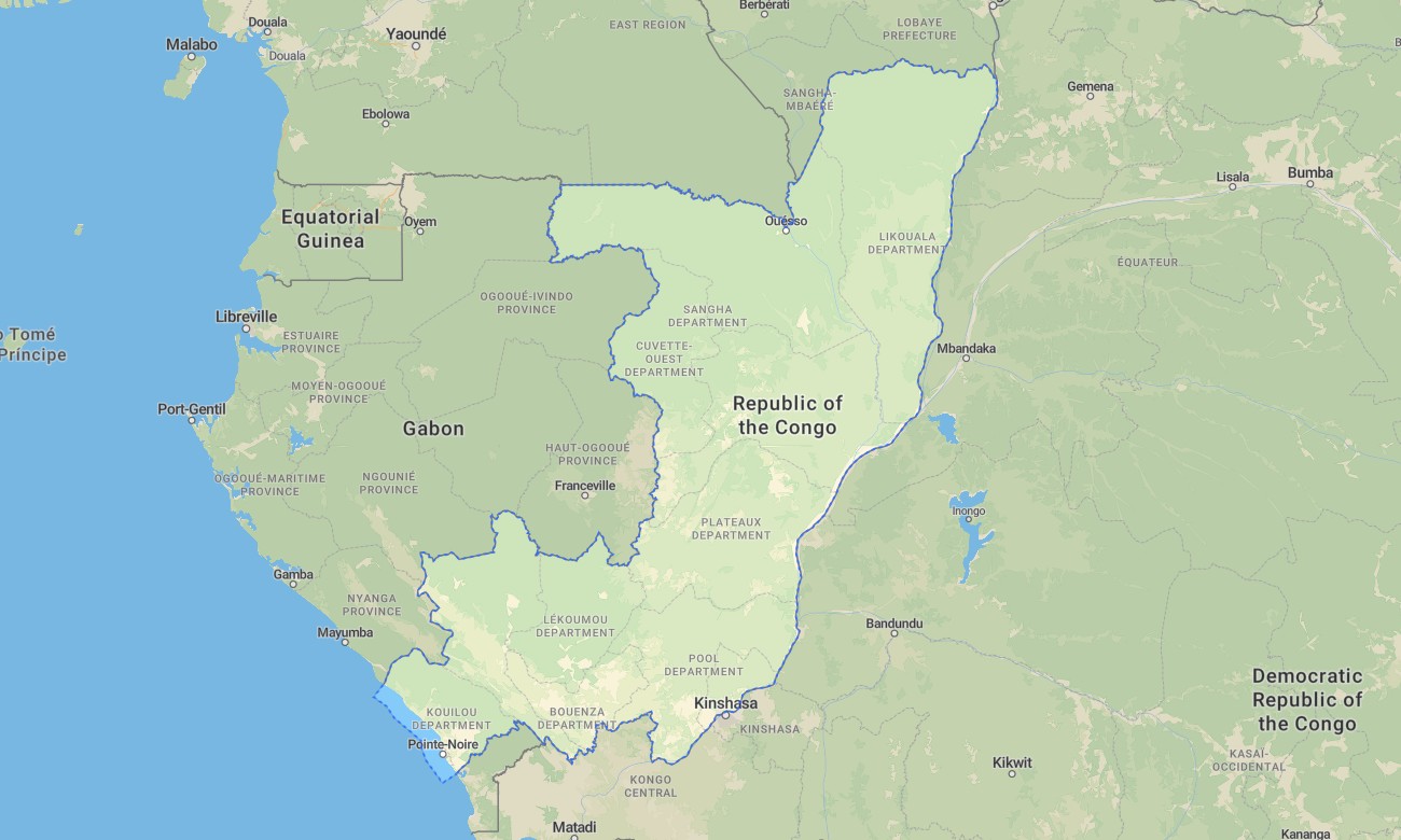
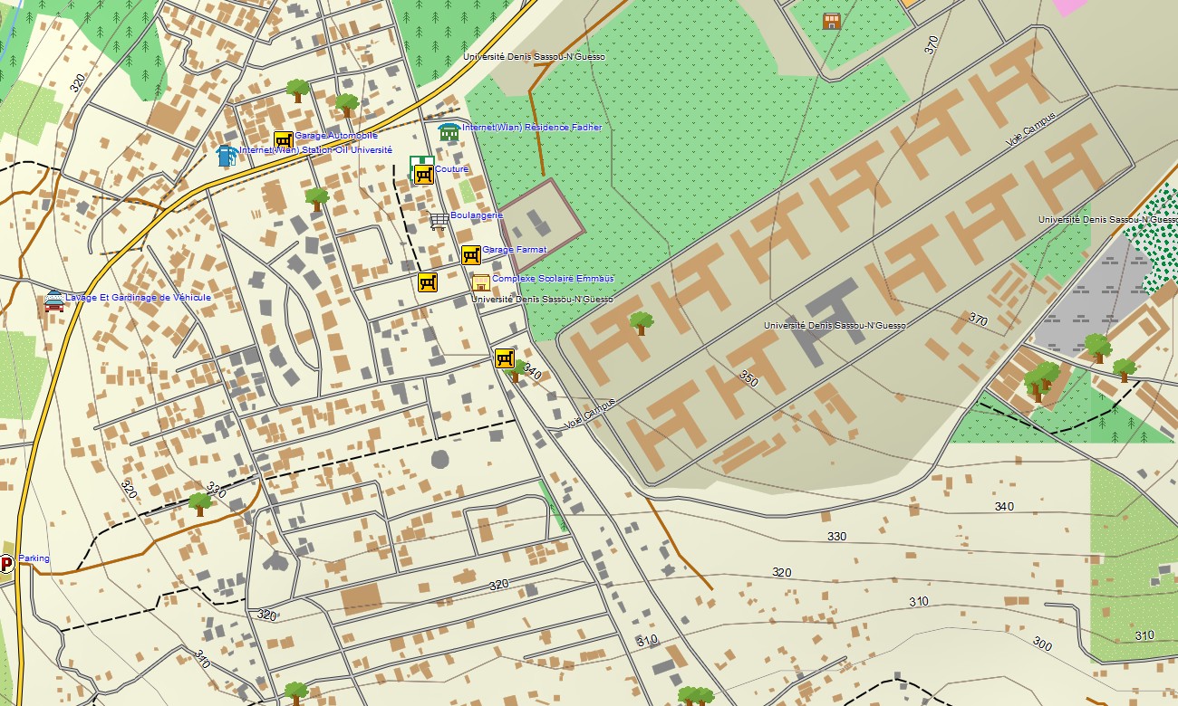
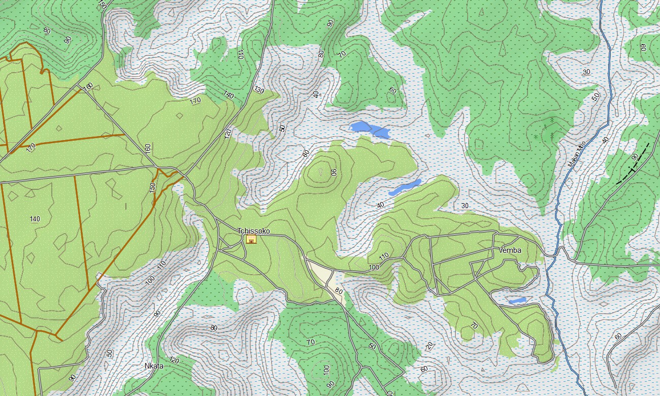
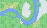
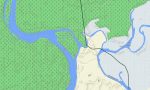
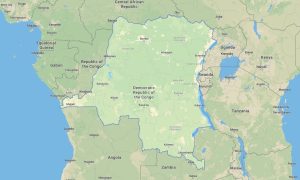
Embark on an expedition through the Republic of Congo-Brazzaville with a high-detail topographic Garmin map designed for real exploration. From dense equatorial rainforests and winding rivers to savannahs, villages, and remote tracks, this Garmin GPS map reveals the diverse terrain of the Republic of the Congo in exceptional detail.
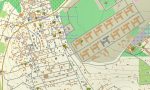
Navigate confidently through bustling cities like Brazzaville and Pointe-Noire, follow rural roads into the interior, or venture off-road toward national parks and river basins. With offline access and built-in routing, your Garmin device becomes a reliable guide no matter how remote the journey.
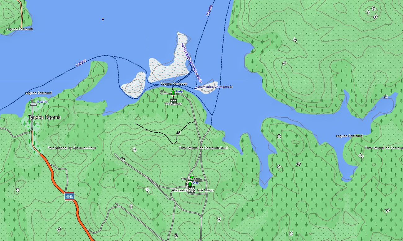
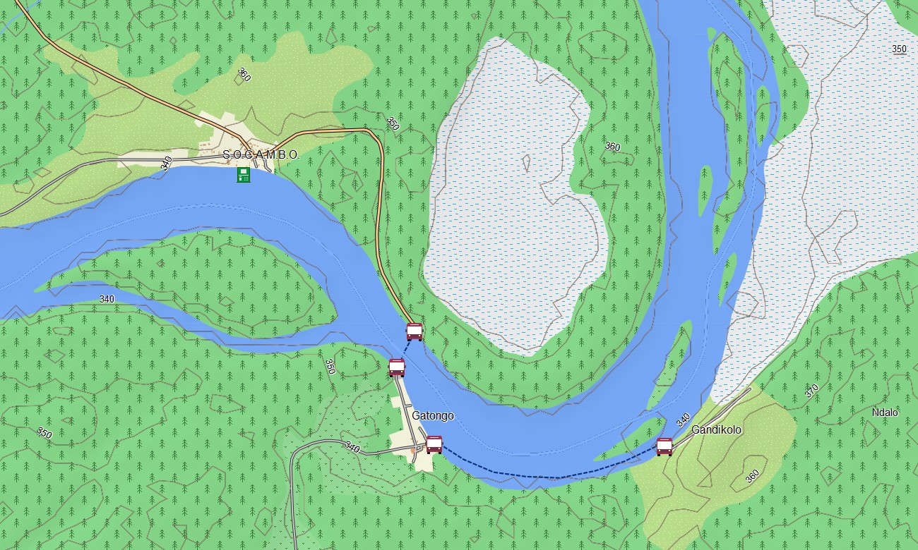
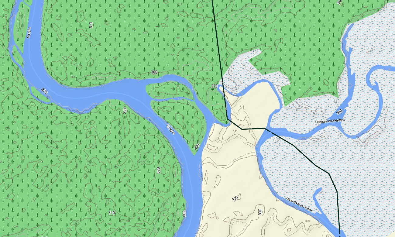
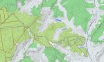
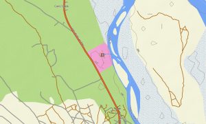
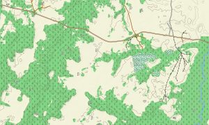
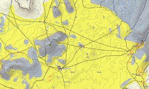
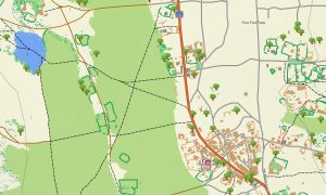
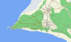
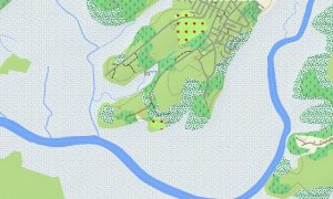
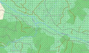
This Congo Brazzaville Garmin map goes far beyond basic navigation. It includes secondary roads, forest tracks, footpaths, rivers, streams, and elevation contours, along with land cover such as rainforest, wetlands, grasslands, and rugged terrain. With topographic maps for Garmin, your journey will be safe, leave vivid impressions, and bring a lot of positive emotions.
Integrated routing allows you to plan trips directly on your Garmin for driving, cycling, or long-distance travel. Whether you’re crossing regions along the Congo River, navigating forested areas, or exploring lesser-known provinces, this Garmin GPS map keeps you oriented without relying on mobile networks.
The map includes multiple layers into one seamless experience: nationwide road coverage, urban street navigation, and detailed topographic data showing terrain shape and elevation. Delivery is instant after purchase, installation is quick and straightforward, and ongoing updates ensure long-term accuracy.
Key Features:
- Topo Garmin map of Congo-Brazzaville with rivers, streams, forest tracks, and elevation contours
- Clearly displayed natural environments including equatorial rainforest, savannahs, wetlands, and terrain relief
- Comprehensive road coverage: highways, regional roads, rural connections, and unpaved routes
- Extensive Points of Interest (POIs) such as urban infrastructure, villages, industrial sites, water towers, river crossings, peaks, pits, quarries, archaeological sites, ruins, and known excavation areas
- Routing support for driving and long-distance navigation across cities and remote regions
- Fully offline operation — ideal for travel in low-connectivity and remote areas
- The map contains contours of heights
Only logged in customers who have purchased this product may leave a review.
Reviews
There are no reviews yet.