
Costa Rica Garmin topographic map
$29
Costa Rica map for Garmin
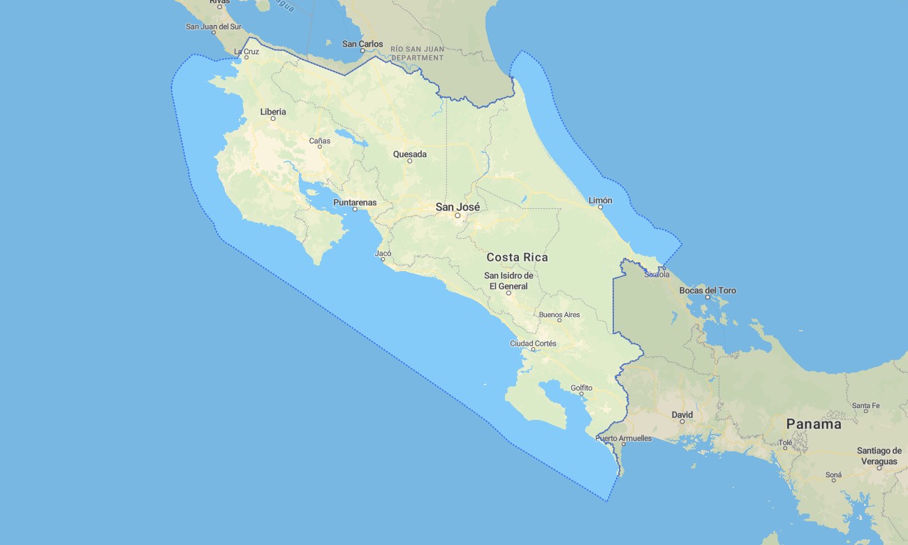
Explore the rich biodiversity of Costa Rica with this detailed topographic Garmin map, your essential tool for navigating from misty cloud forests to tropical Pacific beaches. This comprehensive Garmin GPS map covers the entire nation, guiding you through active volcanic regions, dense rainforests, and sprawling valleys with reliable accuracy for all your travel adventures.
Perfect for planning hiking expeditions and road trips, this solution is built as an OSM map tourist Garmin resource. It utilizes enhanced OpenStreetMap data for navigation in cities like San José, on the Inter-American Highway, and across remote jungle tracks. These outdoor maps Garmin enthusiasts use operate fully offline and include an instant download with regular updates. They are optimized for use on handheld GPS devices, vehicle navigators, and as a map for Garmin watch.
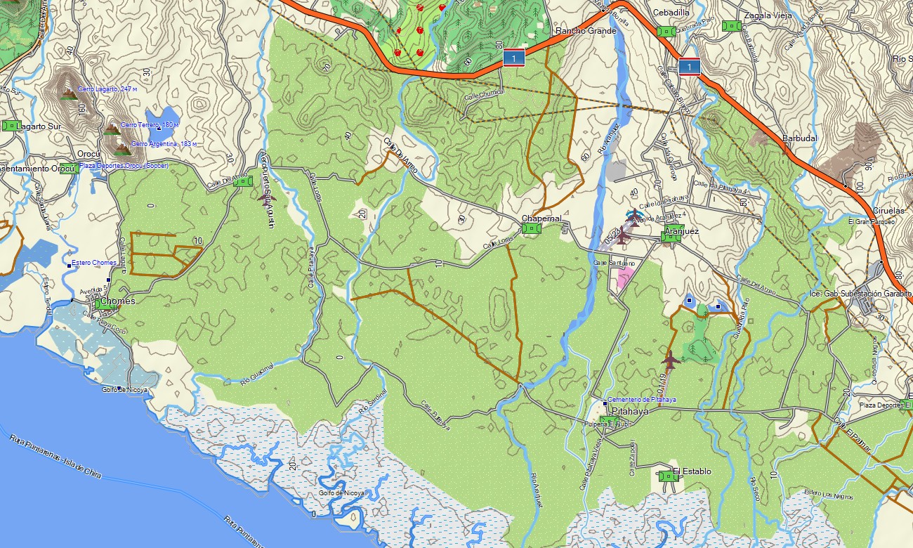
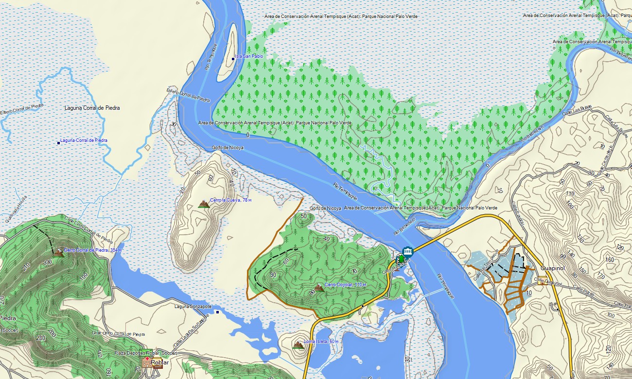
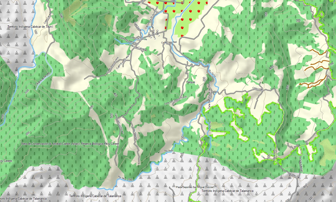
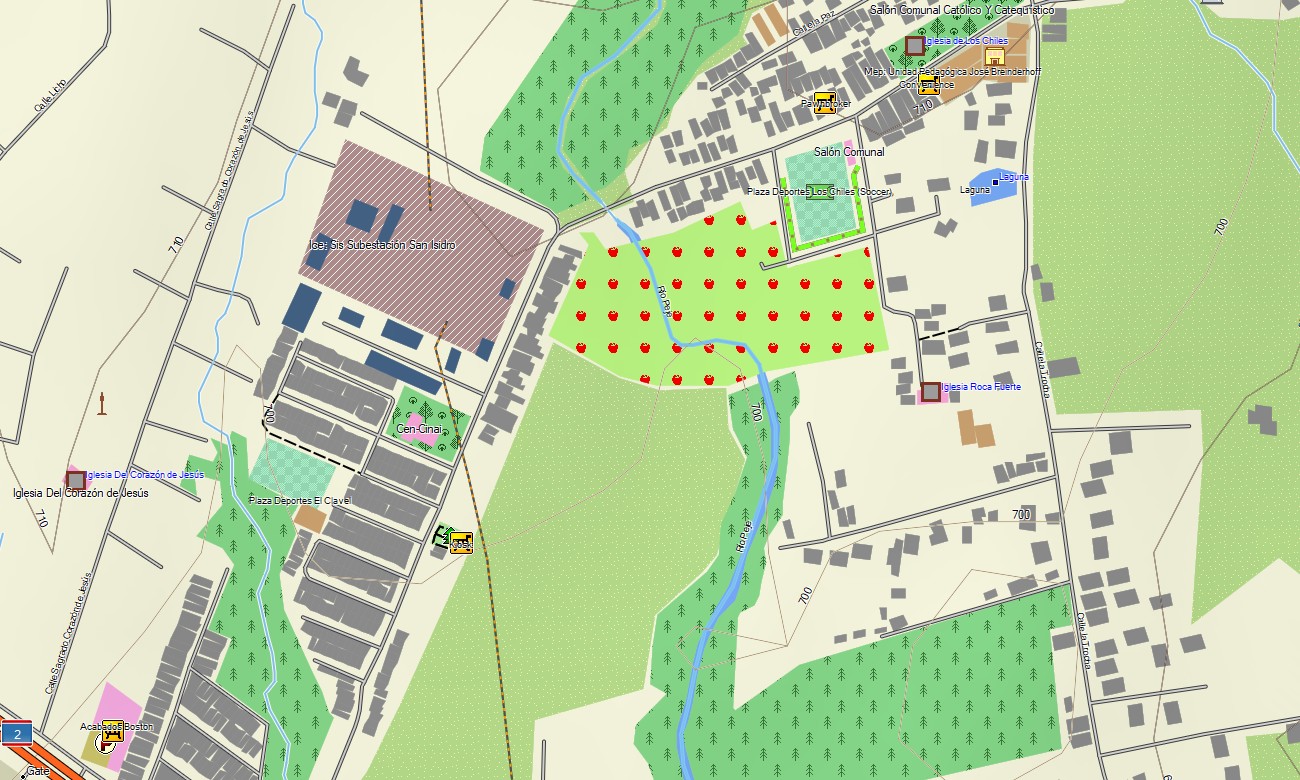
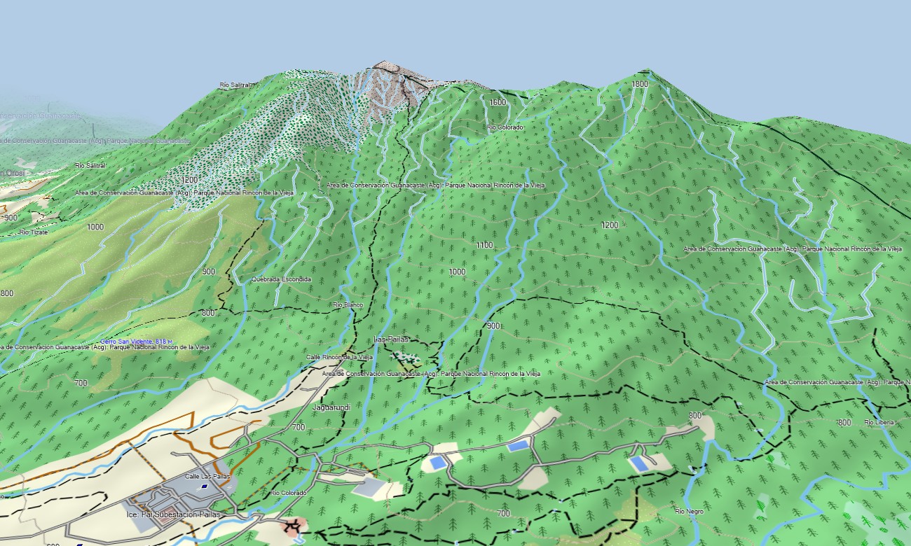
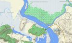
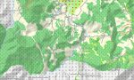
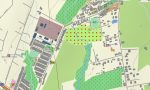
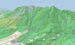
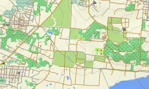
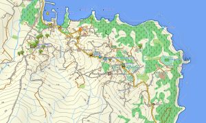
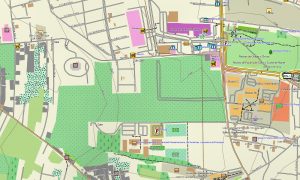
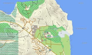
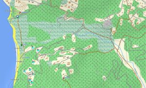
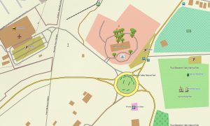
This detailed Garmin map functions as a complete OSM topo map, charting highways, rural roads, mountain paths, rivers, lakes, and elevation contours. It clearly displays the country’s stunning natural features such as volcanic peaks, rainforest canopies, river basins, and coastal mangroves. The high resolution of these topographic maps for Garmin is crucial for safely navigating Costa Rica’s varied and often rugged landscapes.
With integrated routing capabilities, these maps for Garmin navigator devices allow for seamless route planning and turn-by-turn guidance directly on your GPS. Whether traversing the Central Valley, navigating around Arenal, or exploring the Osa Peninsula, this Garmin map provides constant, reliable navigation without any need for a cellular signal.
The map includes several data layers: full road coverage for national travel, detailed street mapping for urban centers, and extensive topographic information for off-the-grid exploration. After purchase, you gain immediate access via a download link, installation is quick, and ongoing updates ensure your Garmin map stays current and trustworthy.
Key Features:
- Topographic maps for Garmin covering Costa Rica with roads, trails, rivers, lakes, coastlines, and contour lines
- Natural features such as volcanic ranges, rainforests, cloud forests, river valleys, waterfalls, and coastal zones
- Points of interest: urban infrastructure, archaeological sites, viewpoints, waterfalls, volcanoes, beaches, lighthouses, monuments and historic districts
- Complete road coverage including primary highways, secondary routes, urban streets, and remote access roads
- Routing support for driving and long-distance navigation on these maps for Garmin navigator devices
- Full detail of the national road network and city street plans across all provinces
- Compatibility with handheld GPS units, automotive navigation systems, and supported as a map for Garmin watch models
Only logged in customers who have purchased this product may leave a review.
Reviews
There are no reviews yet.