

Curacao Garmin topographic map
$22
Curacao topo map for Garmin
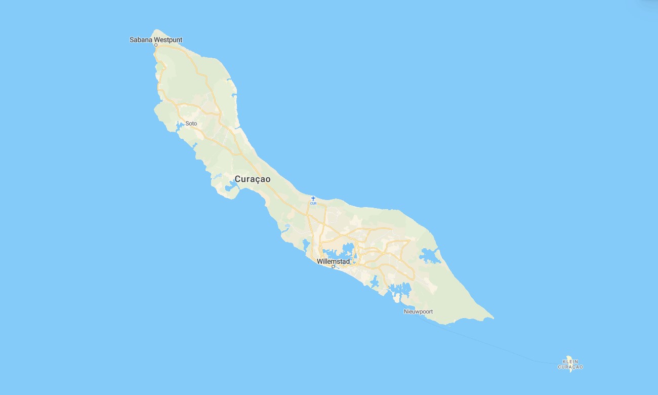
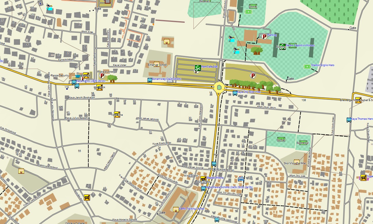
Discover the vibrant landscapes of Curaçao with this detailed topographic Garmin map, engineered to guide you from the colorful streets of Willemstad to the island’s arid northern coastlines. This reliable Garmin GPS map provides comprehensive coverage of the entire island, ensuring accurate navigation for exploring urban centers, historical sites, and natural terrain alike.
This tourist resource is a detailed OSM-based map for Garmin devices, tailored for scenic coastal drives and adventurous hikes. It utilizes enhanced OpenStreetMap data for navigating Willemstad’s UNESCO district, the main ring road, and trails in Christoffelpark. These outdoor maps Garmin users trust function fully offline and include an instant download with regular updates, making them perfect for handheld GPS devices, car systems, and as a map for Garmin watch.
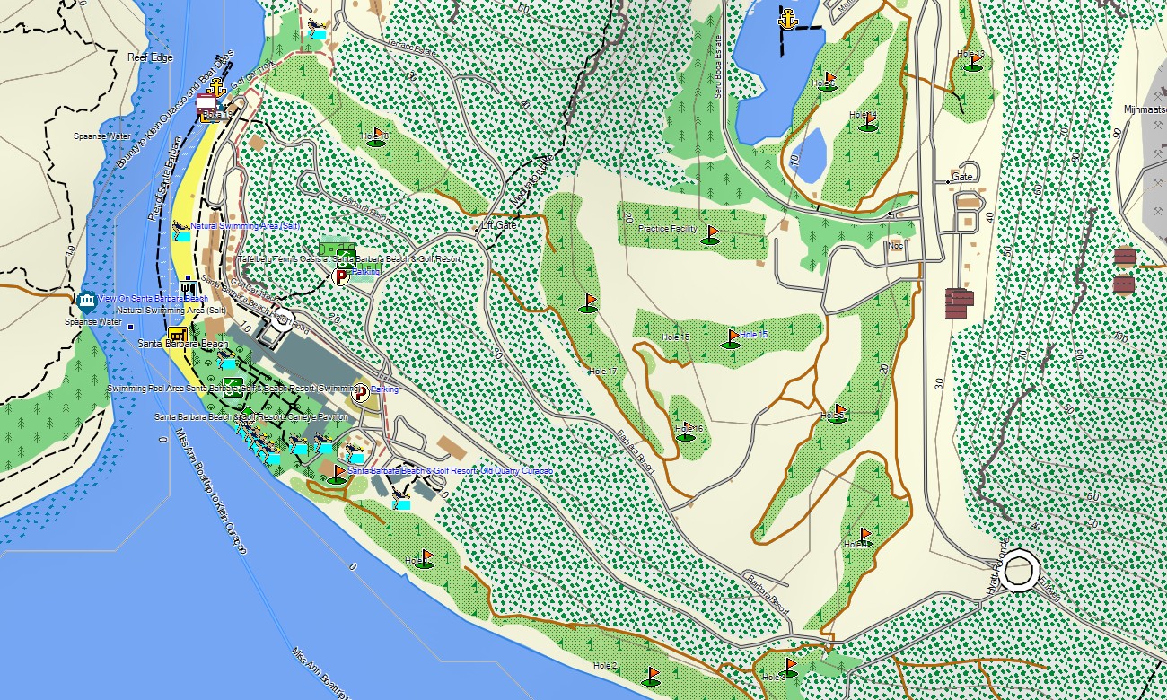
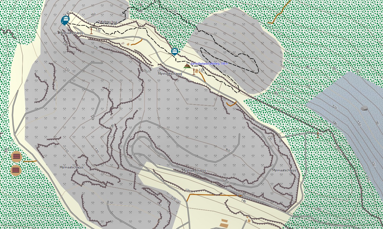
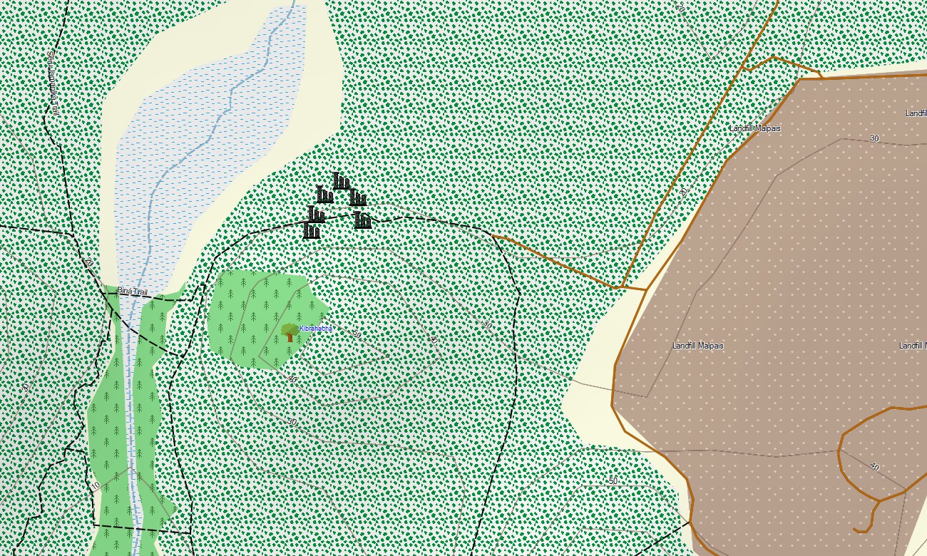
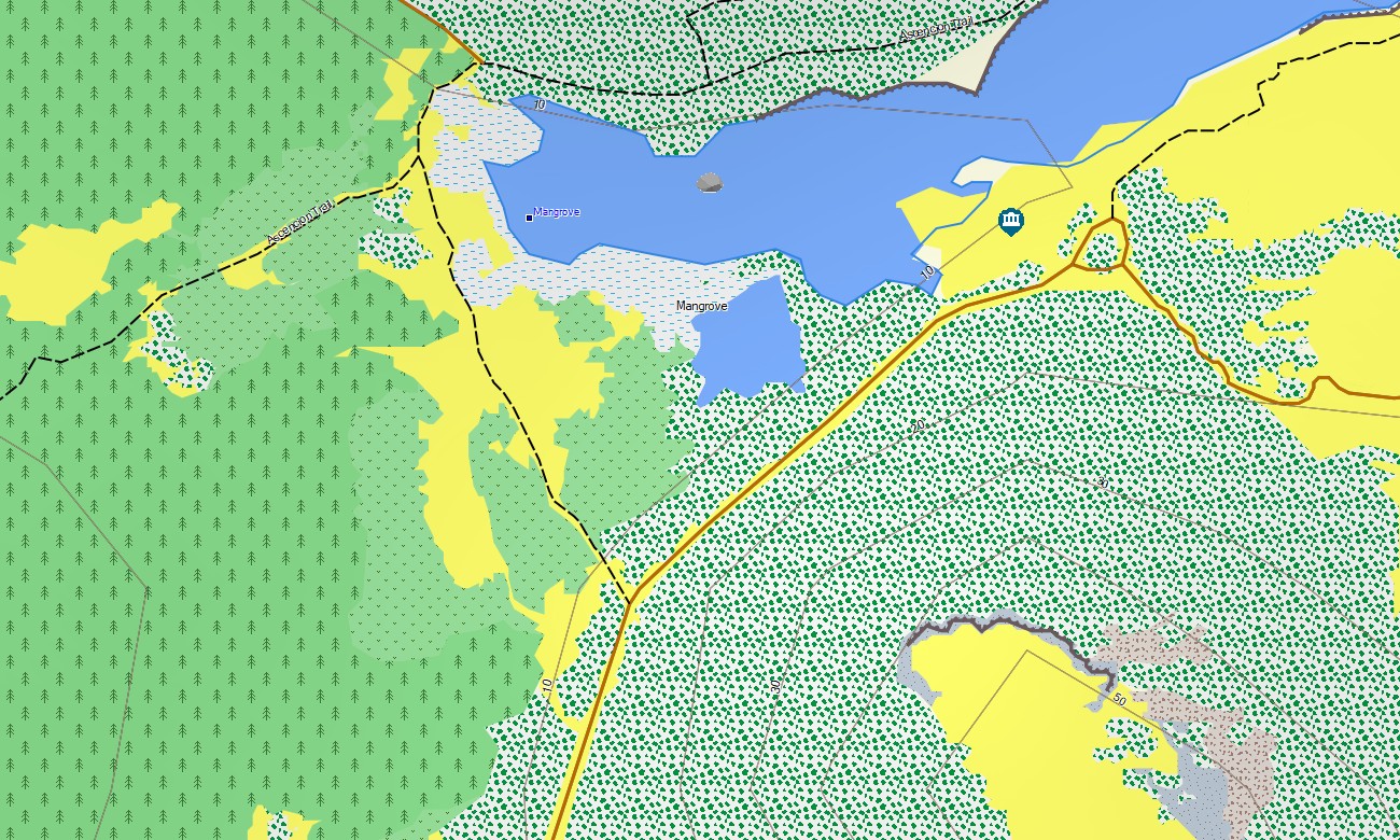
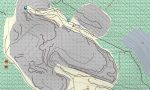
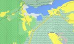
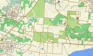
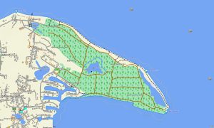
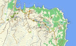
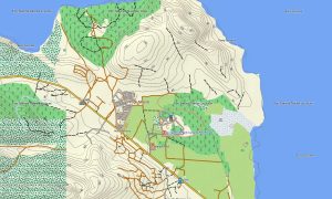
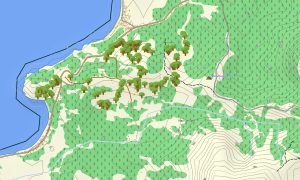
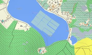
This Garmin map acts as a precise OSM topo map, detailing highways, local roads, unpaved tracks, footpaths, coastlines, bays, salt flats, and elevation contours. It clearly displays the island’s distinctive natural features such as limestone terraces, cactus-covered hills, secluded coves, and inland salinas. The high level of detail in these topographic maps for Garmin is crucial for safe travel and uncovering Curaçao’s unique outdoor environments.
With integrated routing, these maps for Garmin navigator devices allow for easy planning and turn-by-turn navigation directly on your GPS. Whether driving along the southern beaches, exploring the northern cliffs, or touring the rural kunuku landscapes, this Garmin map delivers consistent guidance without the need for an internet connection.
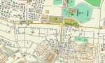
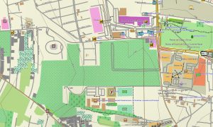
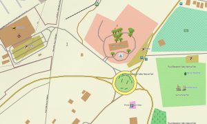
The map combines several layers: complete road coverage for island-wide travel, detailed street data for towns and villages, and comprehensive topographic information for off-road exploration. You receive immediate access via a download link after purchase, installation is quick, and regular updates ensure your Garmin GPS map remains accurate and reliable over time.
Key Features:
- Topographic maps for Garmin covering Curaçao with roads, trails, coastlines, bays, salt pans, and contour lines
- Natural features such as limestone formations, hills, coastal cliffs, inlets, caves, and dry forest areas
- Points of interest: urban infrastructure, historical landmarks, colonial forts, viewpoints, beaches, cultural sites, monuments, lighthouses, and old town districts
- Complete road coverage including highways, main routes, urban streets, and rural tracks
- Routing support for driving and navigation on these maps for Garmin navigator devices
- Full detail of the island’s road network and street plans in all major settlements
- Compatibility with handheld GPS units, vehicle navigators, and supported as a map for Garmin watch models
Only logged in customers who have purchased this product may leave a review.
Reviews
There are no reviews yet.