
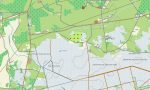
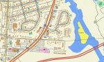
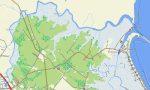
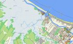
Delaware Garmin topographic map
$25
Delaware topo map for Garmin
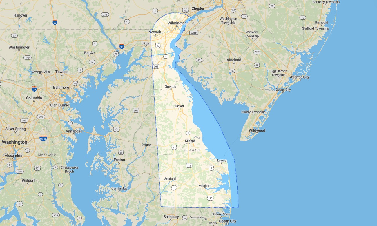
Travel across Delaware’s Atlantic beaches, tidal marshes, agricultural plains, bay shores, historic towns, and wooded parklands with precise Garmin maps for compact-state navigation. This Garmin GPS map covers Wilmington, Dover, Newark, Rehoboth Beach, Lewes, Delaware Bay, Cape Henlopen, coastal highways, wildlife refuges, and inland communities.
Built as a convenient OSM map tourist Garmin solution, it supports beach trips, cycling, road touring, birdwatching, boating access, camping, and historical sightseeing. These outdoor maps Garmin users rely on operate offline, making the Garmin map valuable for coastal areas, small towns, and rural routes away from strong mobile coverage.
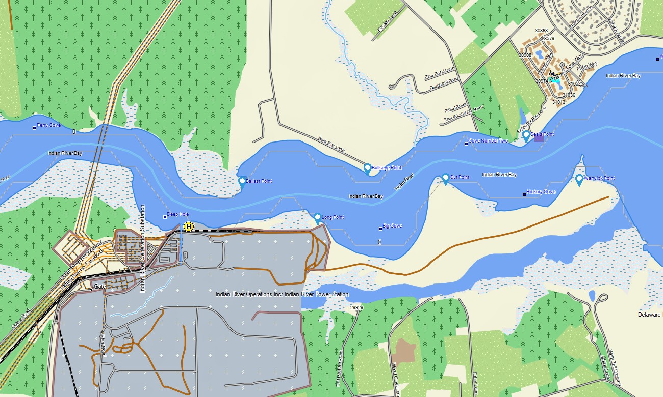
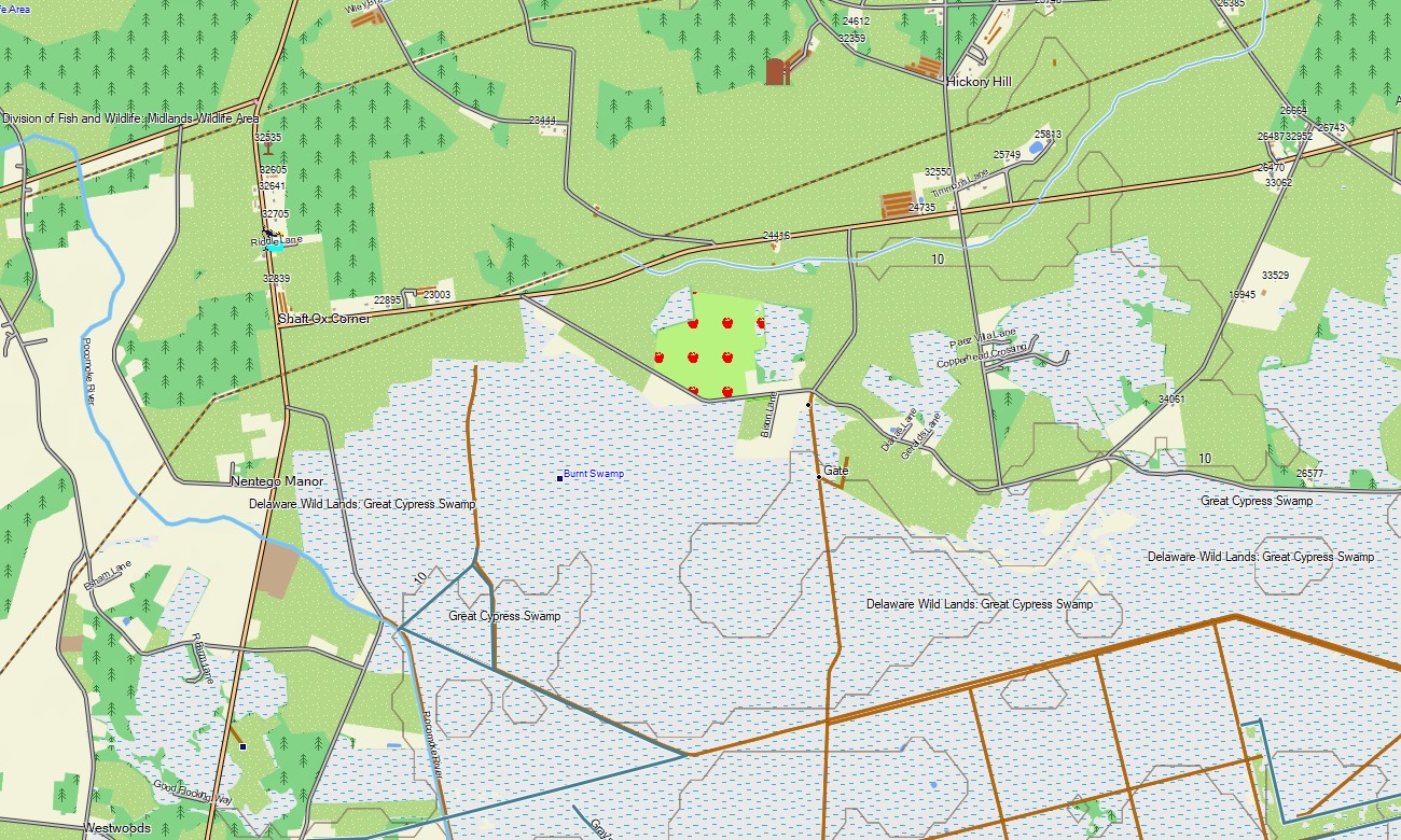
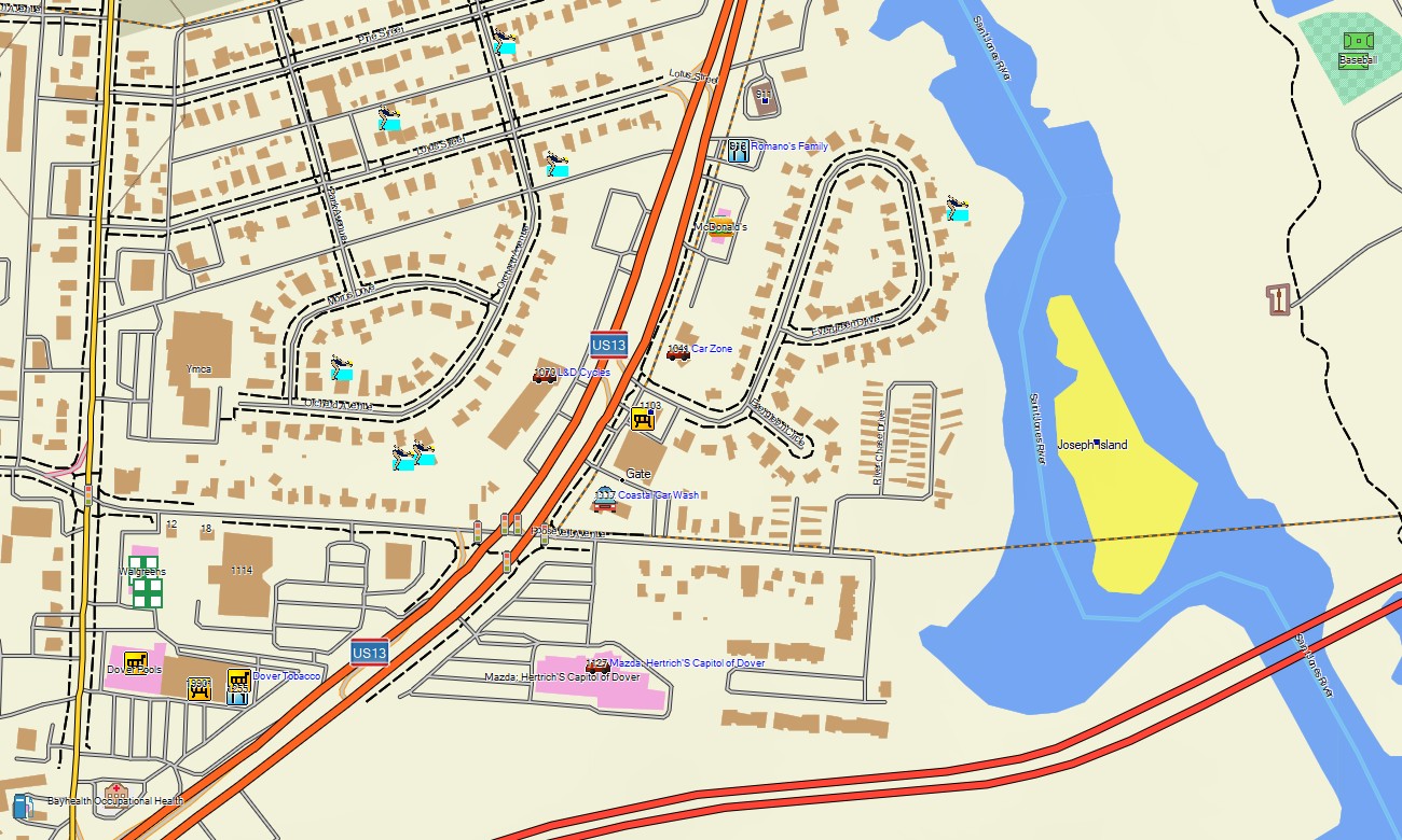
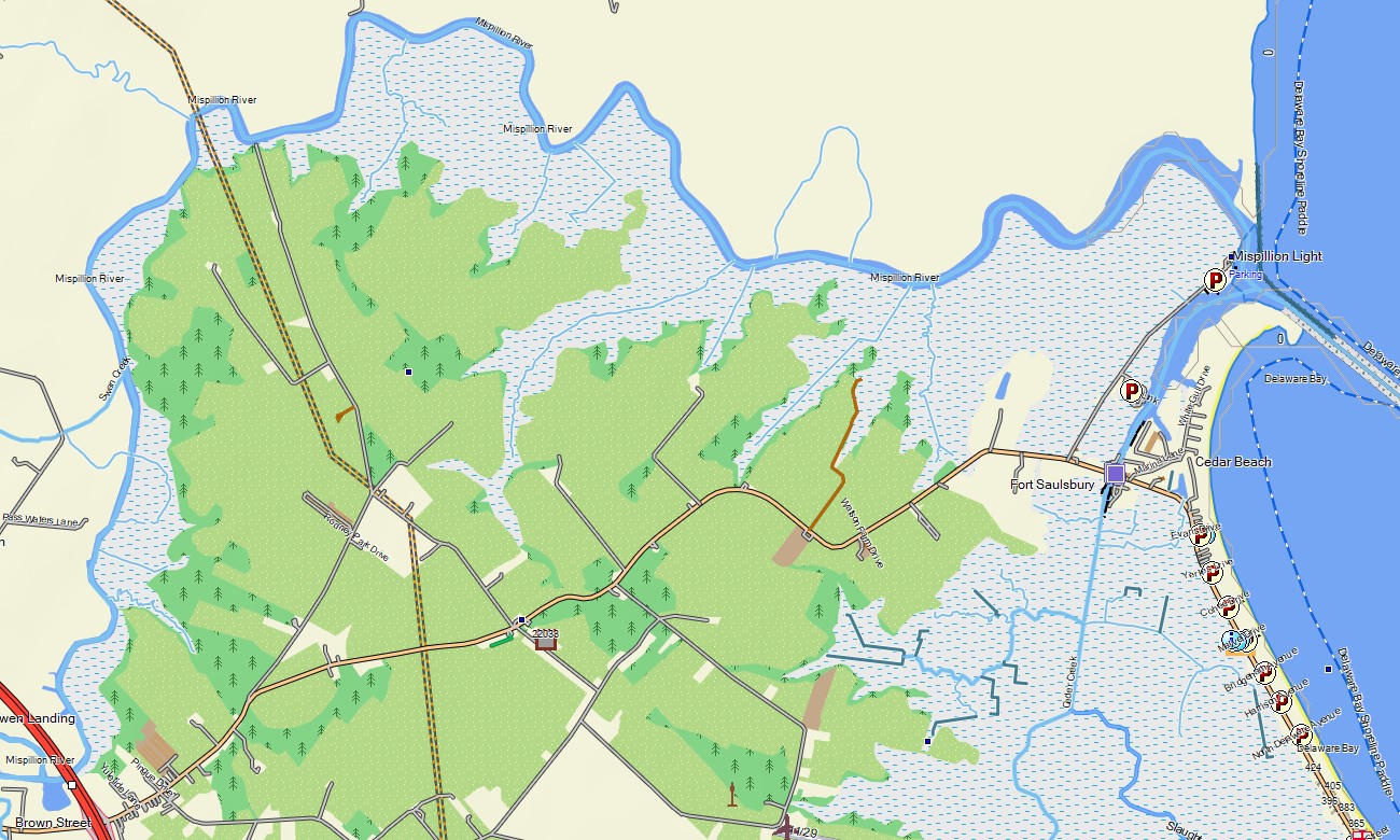
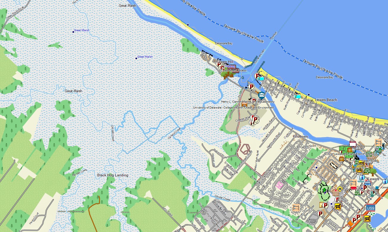
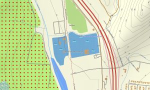
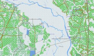
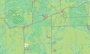
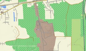
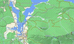
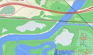
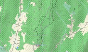
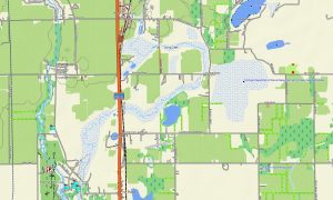
This Garmin GPS map serves as an OSM topo map, displaying highways, local roads, beach access routes, trails, waterways, wetlands, ponds, coastlines, bay inlets, parks, and elevation contours. Created from open street maps Garmin compatible data, these OSM topographic maps show Delaware’s subtle terrain and water-dominated landscapes with useful clarity.
Maps for Garmin navigator devices support routing between beach resorts, state parks, city streets, and countryside roads. Whether crossing Wilmington’s urban network, driving DE-1 toward the coast, or navigating near wildlife refuges, this Garmin map gives dependable offline direction.
The product combines complete road detail, coastal mapping, hydrology, recreation paths, settlement data, and topographic context. After purchase, use the download Garmin map link for installation. Garmin OSM maps are practical for handheld GPS devices, automotive receivers, and selected devices that accept a map for Garmin watch.
Key Features:
- Topographic maps for Garmin covering Delaware with roads, trails, rivers, bays, beaches, wetlands, and elevation contours
- Natural features such as Atlantic shoreline, tidal marshes, bay flats, dunes, ponds, forests, and agricultural plains
- Road coverage including interstates, coastal highways, state roads, local streets, and rural connectors
- Points of interest: lighthouses, historic towns, boardwalks, wildlife refuges, boat ramps, parks, museums
- Routing support for driving and coastal travel on compatible Garmin devices
- Compatible with handheld GPS units, automotive navigators, and selected Garmin watch models
Only logged in customers who have purchased this product may leave a review.
Reviews
There are no reviews yet.