
Dominican Republic Garmin topographic map
$22
Dominican Republic topo map for Garmin
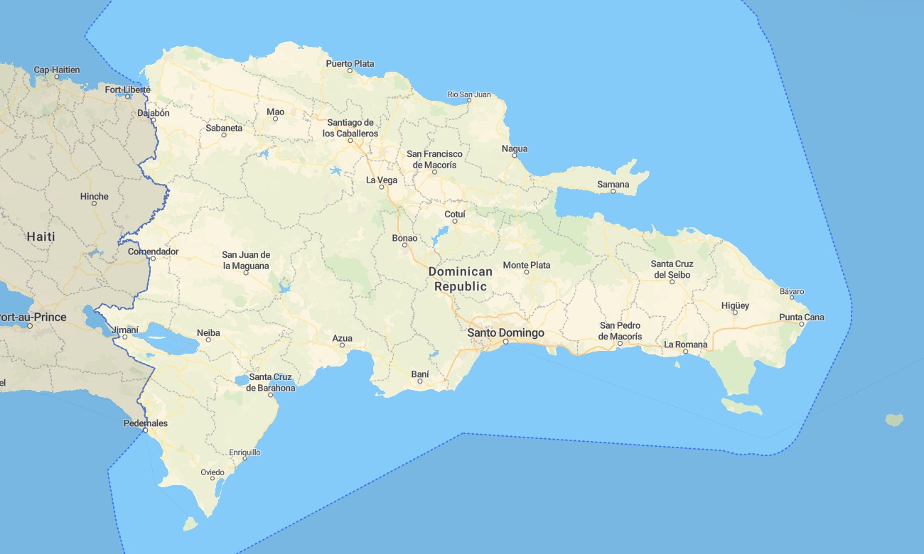
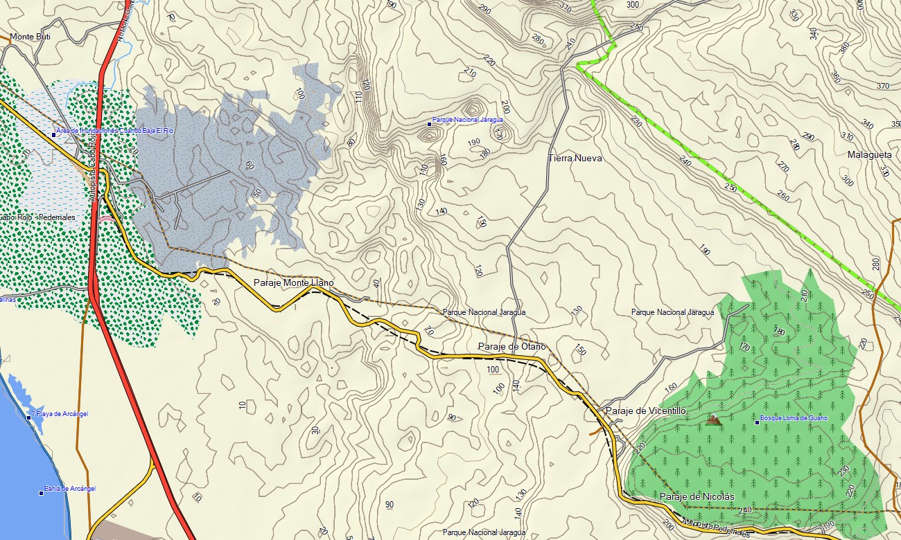
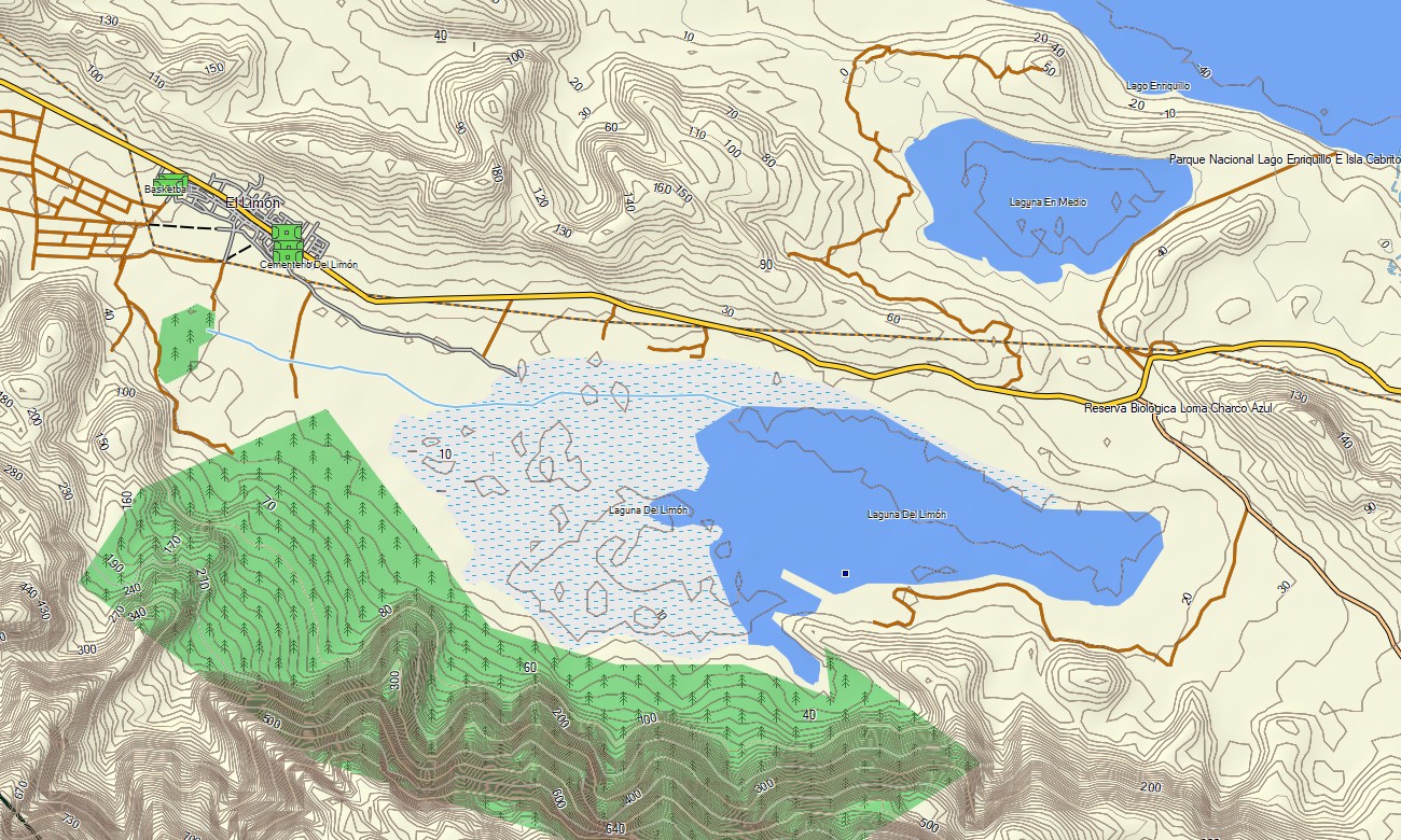
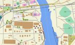
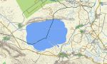
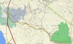
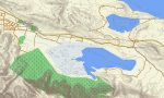
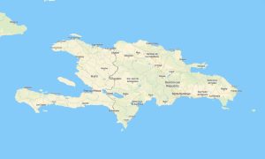
Embark on your Caribbean adventure with a detailed topographic Garmin map, designed for exploring the Dominican Republic’s diverse landscapes. This comprehensive Garmin GPS map covers the entire nation, from the rugged Cordillera Central and subtropical rainforests to the stunning coastlines of Punta Cana and the arid expanses of the southwest. For hikers and drivers, these Garmin maps ensure reliable navigation, turning any trip into a seamless experience. Instant download with regular updates included.
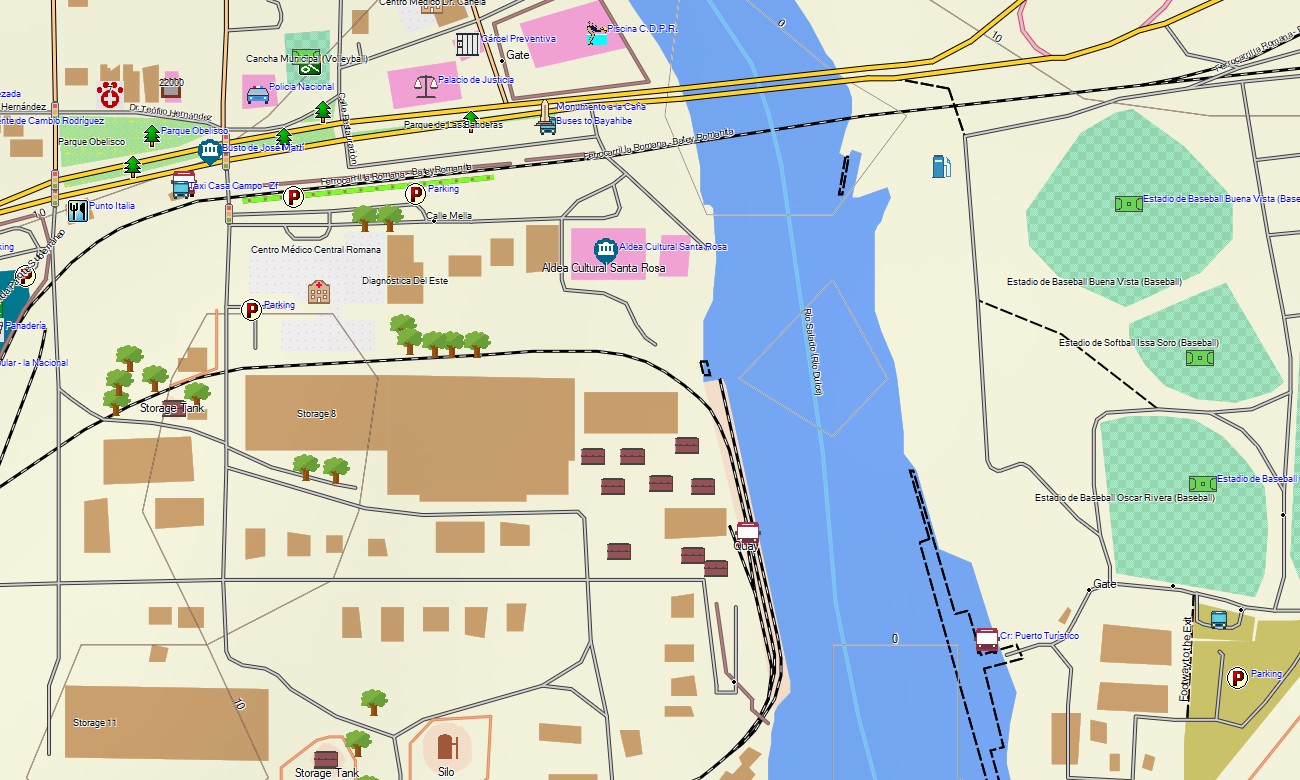
Tailored as a versatile OSM map tourist Garmin solution, it supports both hiking and road trips across this vibrant island. From navigating the historic streets of Santo Domingo’s Zona Colonial to finding remote trails in national parks, these outdoor maps Garmin devices utilize OpenStreetMap data for accuracy. This essential download Garmin map works fully offline on your handheld GPS, car navigator, or compatible map for Garmin watch, ideal for any travel style.
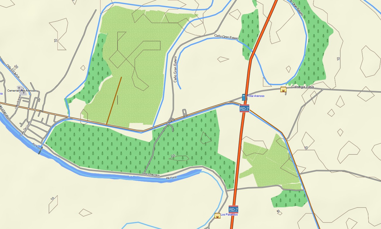
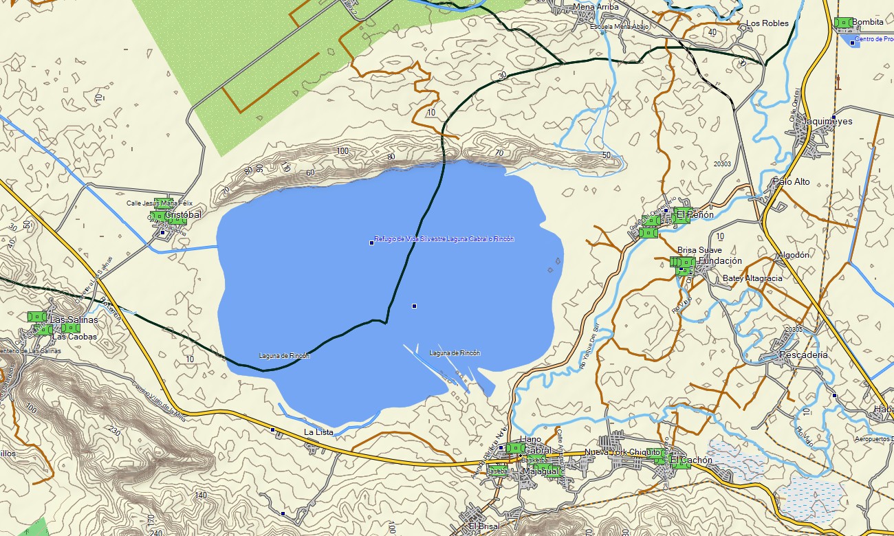
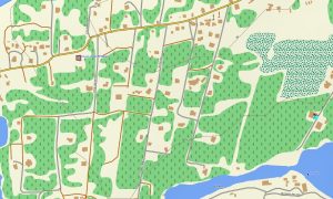
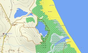
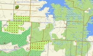
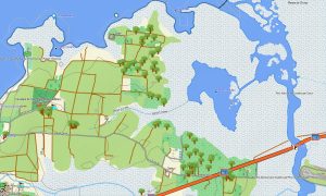
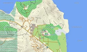
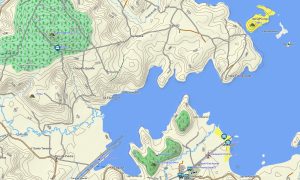
This reliable OSM topo map provides extensive geographic detail, displaying everything from highways and mountain roads to rivers, lakes, and elevation contours. Natural features such as mountain ranges, lush valleys, mangrove forests, deserts, and coral reefs are clearly shown, making these topographic maps for Garmin perfect for planning your exploration of the island’s rich environment.
With integrated routing capabilities, these maps for Garmin navigator devices enable efficient turn-by-turn guidance for road journeys and long-distance travel. Whether you’re driving along the scenic Caribbean coast, traversing the central highlands, or navigating to remote beaches, this Garmin GPS map provides dependable offline navigation without requiring a mobile data connection.
The map includes multiple layers: a full road network for intercity and regional travel, detailed city navigation, and comprehensive topographic data for off-road adventures. You will receive your download Garmin map link immediately after purchase for quick installation, and ongoing updates ensure your Garmin OSM maps remain current and trustworthy for all your travels in the Dominican Republic.
Key Features:
- Topographic maps for Garmin covering the Dominican Republic with roads, tracks, trails, rivers, lakes, and elevation contours
- Representation of key natural features including mountain ranges, rainforests, valleys, deserts, mangroves, and coastal areas
- Points of interest: urban infrastructure, historical sites, ruins, archaeological zones, peaks, monuments, UNESCO sites, water towers, lighthouses, and notable landmarks
- Routing support for driving and navigation on maps for Garmin navigator devices across the island
- Complete coverage of highways, regional roads, and detailed urban street networks
- Compatibility with handheld GPS units, automotive devices, and supported as a map for Garmin watch models
Only logged in customers who have purchased this product may leave a review.
Reviews
There are no reviews yet.