
El Salvador Garmin topographic map
$29
El Salvador topo map for Garmin
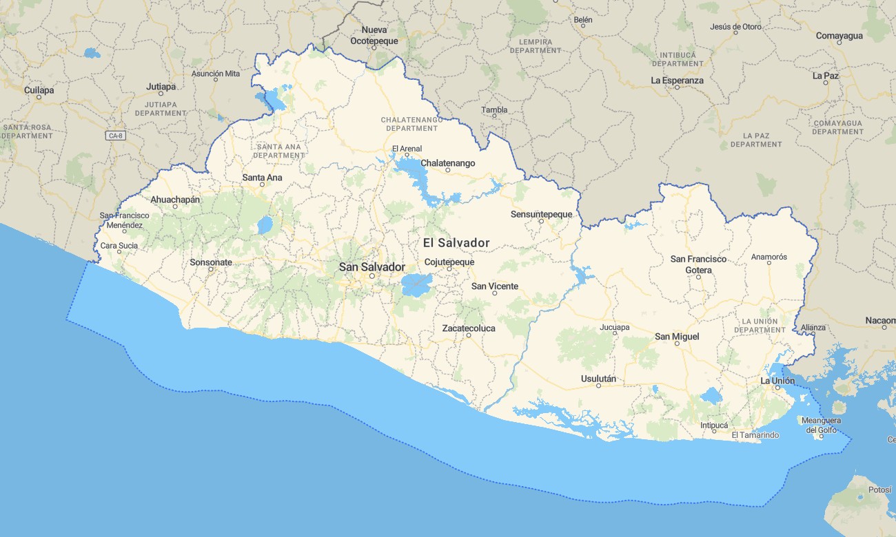
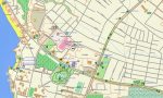
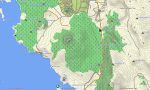
Navigate the diverse landscapes of El Salvador with this comprehensive topographic Garmin map, designed for reliable travel through volcanic highlands, fertile valleys, and scenic coastal plains. Whether your journey takes you to the summits of the Cordillera Apaneca-Ilamatepec, the Pacific coastline, or into the tropical lowlands, this Garmin GPS map guarantees precise navigation throughout.
Perfect for road trips and hiking tours, these detailed Garmin maps function as a full offline OSM map tourist Garmin solution. Built from OpenStreetMap data, they support navigation in cities like San Salvador, along the scenic Ruta de las Flores, and on remote trails. This download Garmin map with instant download and regular updates included is optimized for handheld GPS, car navigators, and as a map for Garmin watch.
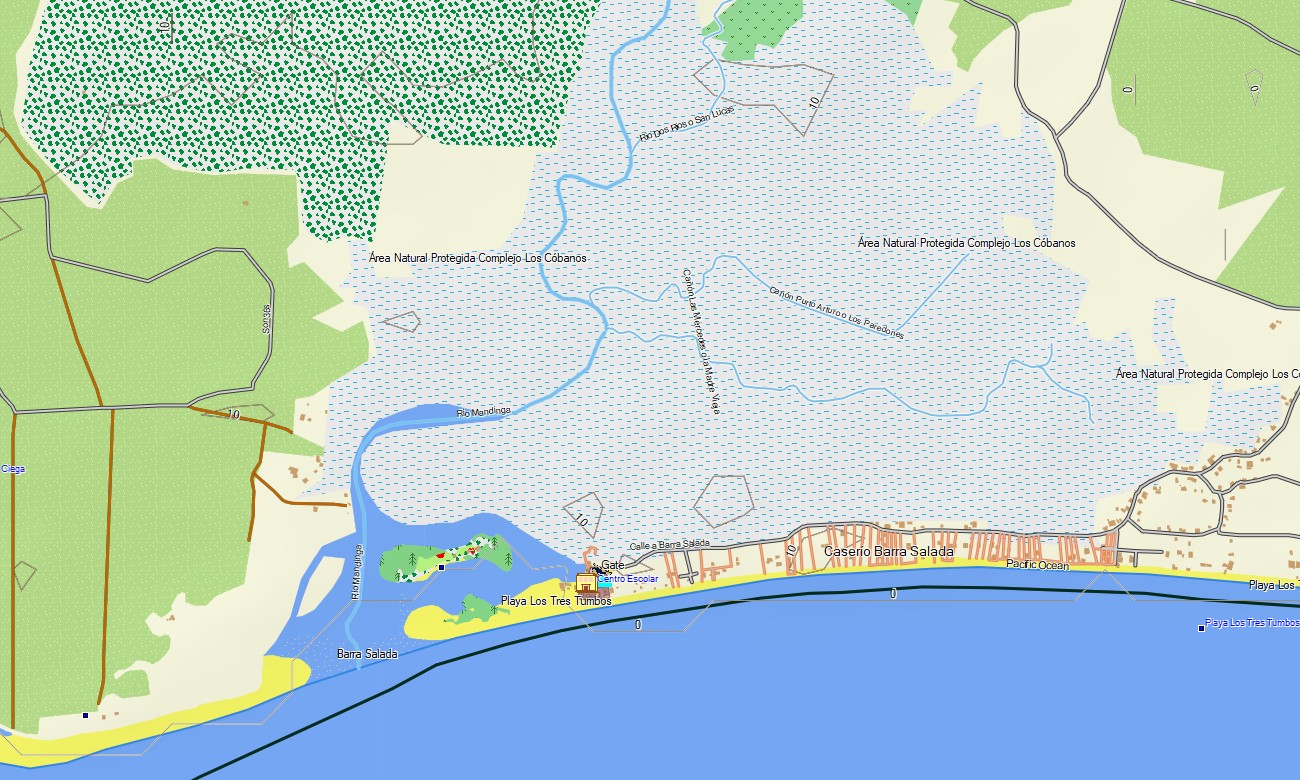
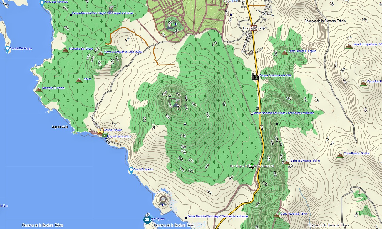
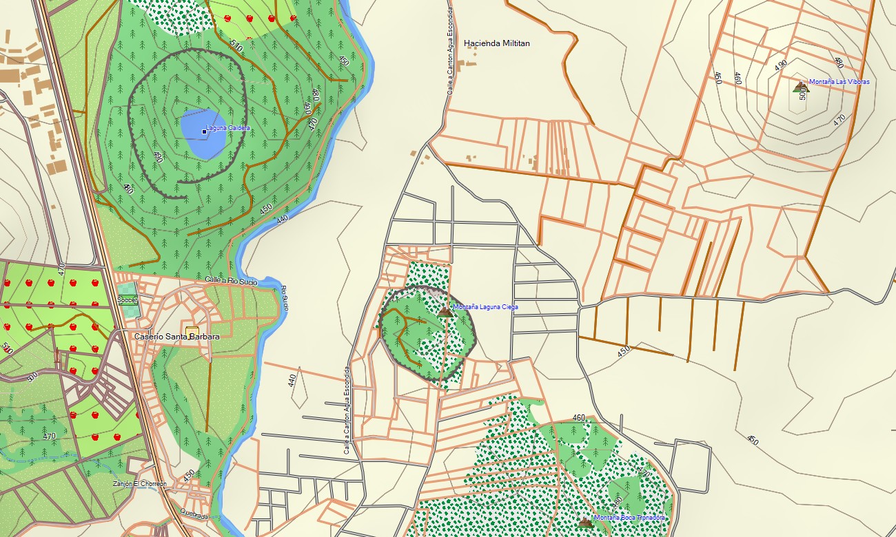
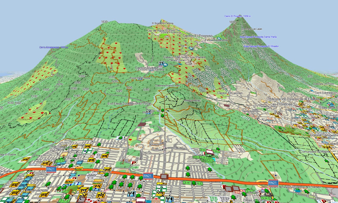
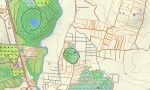
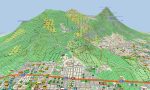
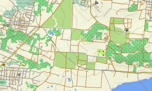
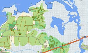
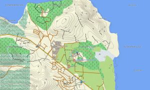
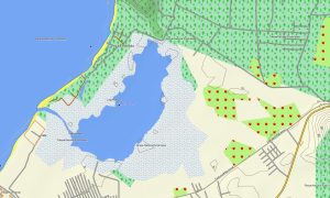
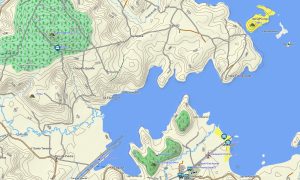
As a versatile OSM topo map, this resource details roads, mountain paths, rivers, lakes, and elevation contours. It clearly displays natural features such as volcanic craters, coffee-covered highlands, crater lakes, and river basins. This level of detail makes these topographic OSM maps essential for exploring the country’s natural beauty.
With integrated routing, these maps for Garmin navigator devices allow for easy route planning and turn-by-turn guidance directly on your GPS. Whether driving the Pacific highway CA-2, exploring the volcanic complex, or navigating rural areas, this Garmin GPS map offers dependable offline navigation.
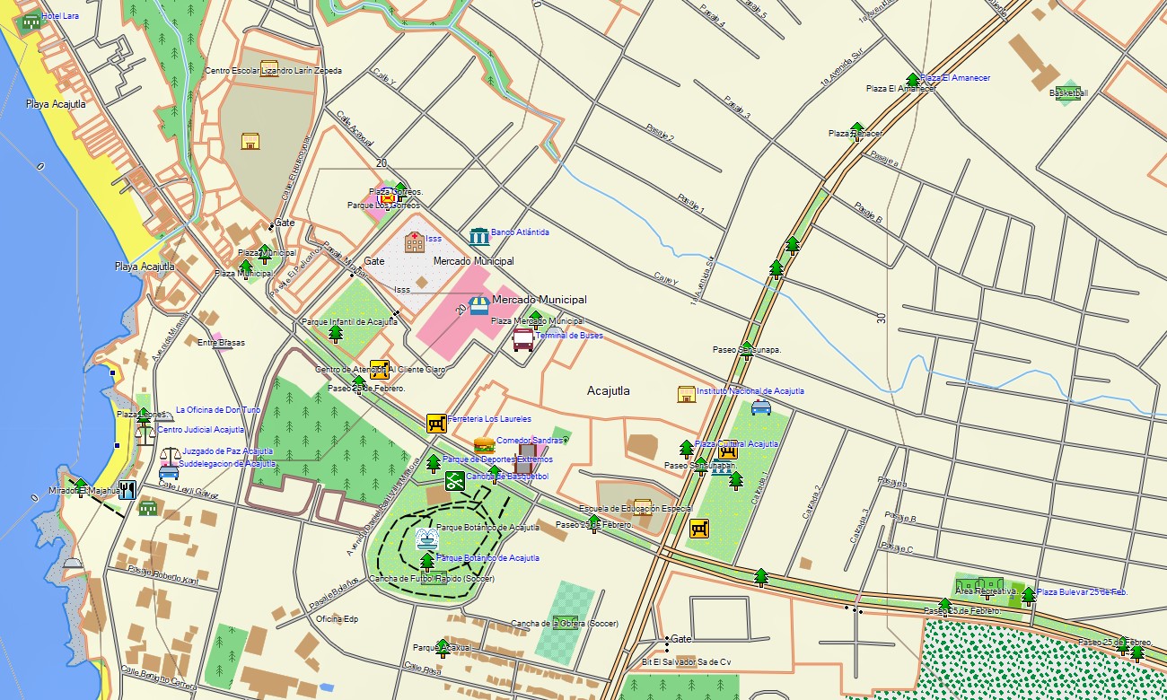
The map includes multiple layers: a full road network for highway and regional travel, detailed street plans for urban areas, and comprehensive topo data for outdoor activities. After purchase, you get an instant download link, quick installation, and the map is kept accurate through regular updates.
Key Features:
- Detailed topographic maps for Garmin covering all of El Salvador with roads, trails, rivers, lakes and elevation contours
- Representation of key natural features including volcanic ranges, highlands, crater lakes, coastal plains, and river systems
- Points of interest: urban infrastructure, archaeological sites, ruins, excavation zones, volcanoes, peaks, viewpoints, monuments, UNESCO sites, water towers, lighthouses, and notable landmarks
- Routing support for driving, hiking, and cycling trips
- Works fully offline – no internet connection required
- Complete coverage of national highways, secondary roads, and city streets
- Compatibility with handheld GPS units, automotive devices, and as a map for Garmin watch models
Only logged in customers who have purchased this product may leave a review.
Reviews
There are no reviews yet.