
Equatorial Guinea Garmin topographic map
$29
Equatorial Guinea topo map for Garmin
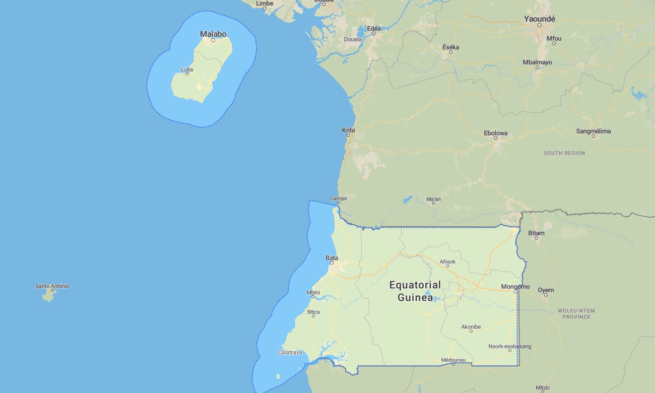
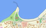
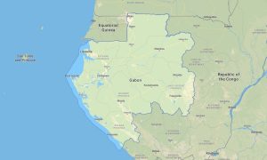
Enjoy exploring Equatorial Guinea with detailed Garmin maps built for navigation across rainforests, coastal zones, islands, and volcanic landscapes. This Garmin GPS map provides reliable guidance throughout Río Muni on the mainland and across island territories such as Bioko, making it ideal for travelers, explorers, and outdoor navigation.
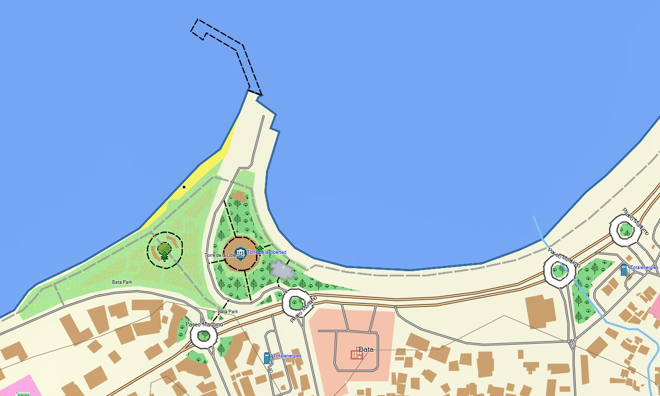
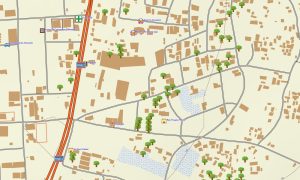
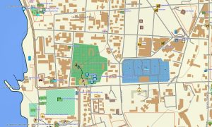
Designed as an OSM map tourist Garmin solution, this Garmin map combines OpenStreetMap data with topographic detail, allowing you to navigate cities like Malabo and Bata, follow coastal roads, or explore remote forest tracks. These outdoor maps Garmin users rely on work fully offline and are optimized for handheld devices, vehicle navigators, and compatible Garmin watches.
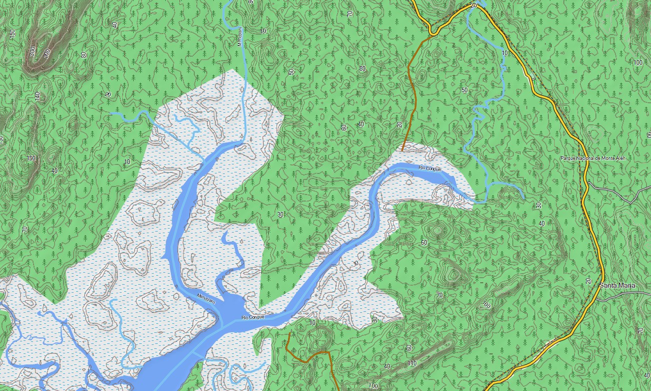
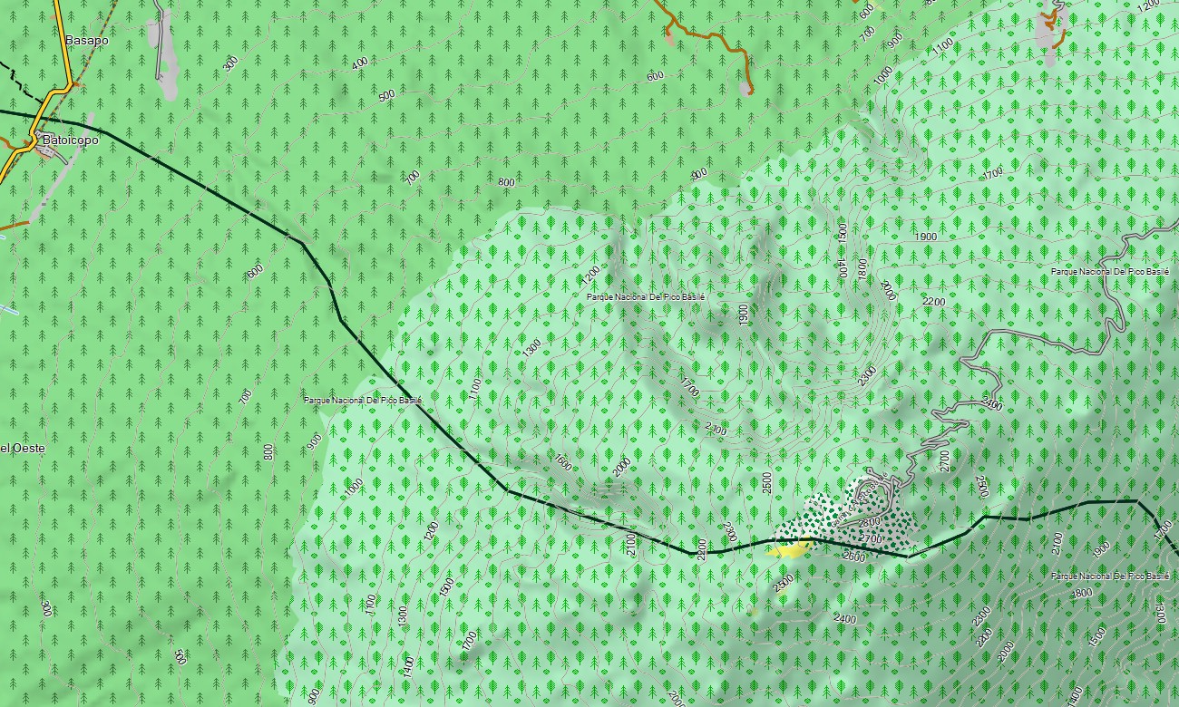
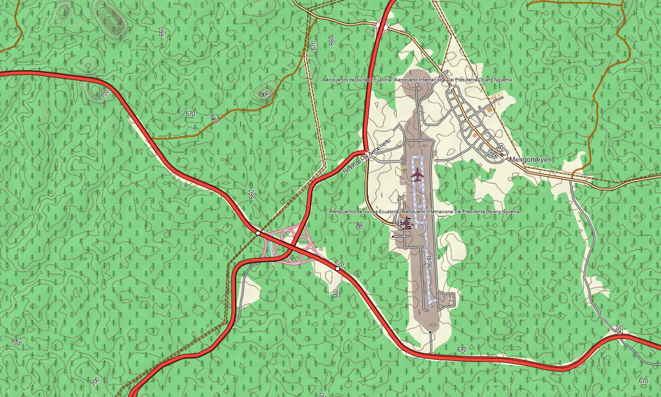
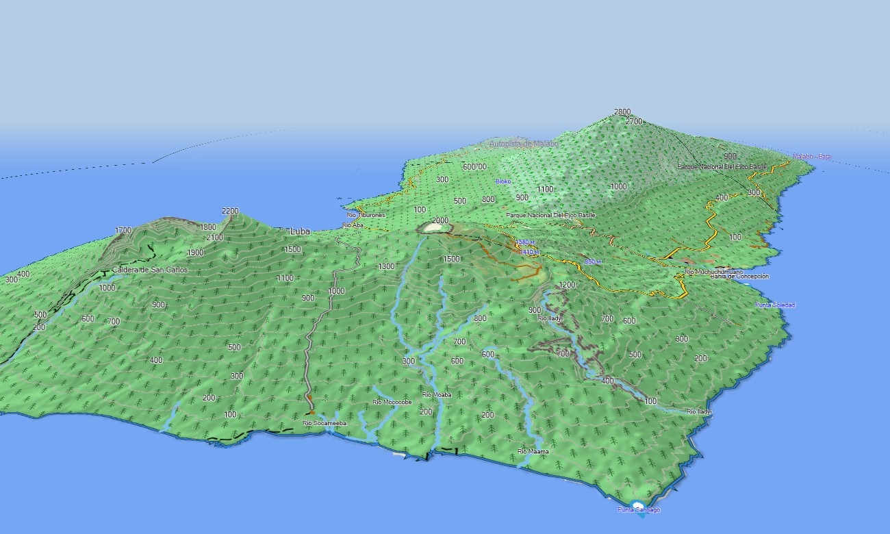
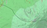
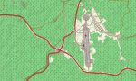
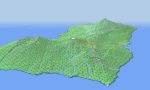
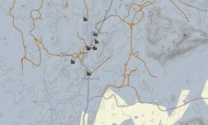
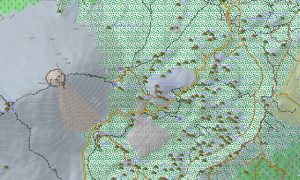
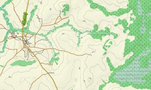
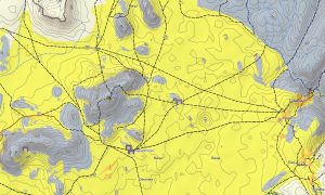
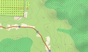
This Garmin GPS map goes beyond basic road navigation. It functions as an OSM topo map, including secondary roads, unpaved tracks, footpaths, rivers, streams, and elevation contours. Natural features such as tropical rainforest, wetlands, coastal plains, and volcanic slopes are clearly displayed, making these OSM topographic maps especially useful in regions with dense vegetation and limited infrastructure.
With integrated routing, these maps for Garmin navigator devices allow you to plan and follow routes directly on your GPS. Whether traveling between urban centers, navigating inland forest regions, or exploring volcanic terrain on Bioko Island, this Garmin map delivers consistent performance without mobile data.
The map includes multiple data layers into a single topographic maps for Garmin solution: nationwide road coverage, detailed city navigation, and terrain information derived from Open Street Maps Garmin data. After purchase, you can download Garmin map files instantly, install them in minutes to enjoy your journey with Garmin topo maps.
Key Features:
- Topo map for Garmin covering Equatorial Guinea with rivers, streams, forest tracks, and elevation contours
- OSM topographic maps showing rainforests, wetlands, coastlines, volcanic terrain, and island geography
- Complete road coverage including highways, regional roads, urban streets, and remote routes
- Points of interest included in the Garmin GPS map such as urban infrastructure, villages, ports, industrial sites, ruins, excavation areas, peaks, pits, quarries, water towers, and coastal landmarks
- Routing support for driving and long-distance navigation on maps for Garmin navigator devices
- Fully offline outdoor maps Garmin users can rely on in remote areas
- Compatible with handheld GPS units, vehicle devices, and supported as a map for Garmin watch models
- The map contains contours of heights
Only logged in customers who have purchased this product may leave a review.

Reviews
There are no reviews yet.