
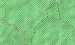
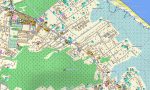
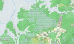
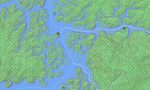
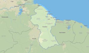
French Guiana Garmin topographic map
$29
French Guiana topo map for Garmin
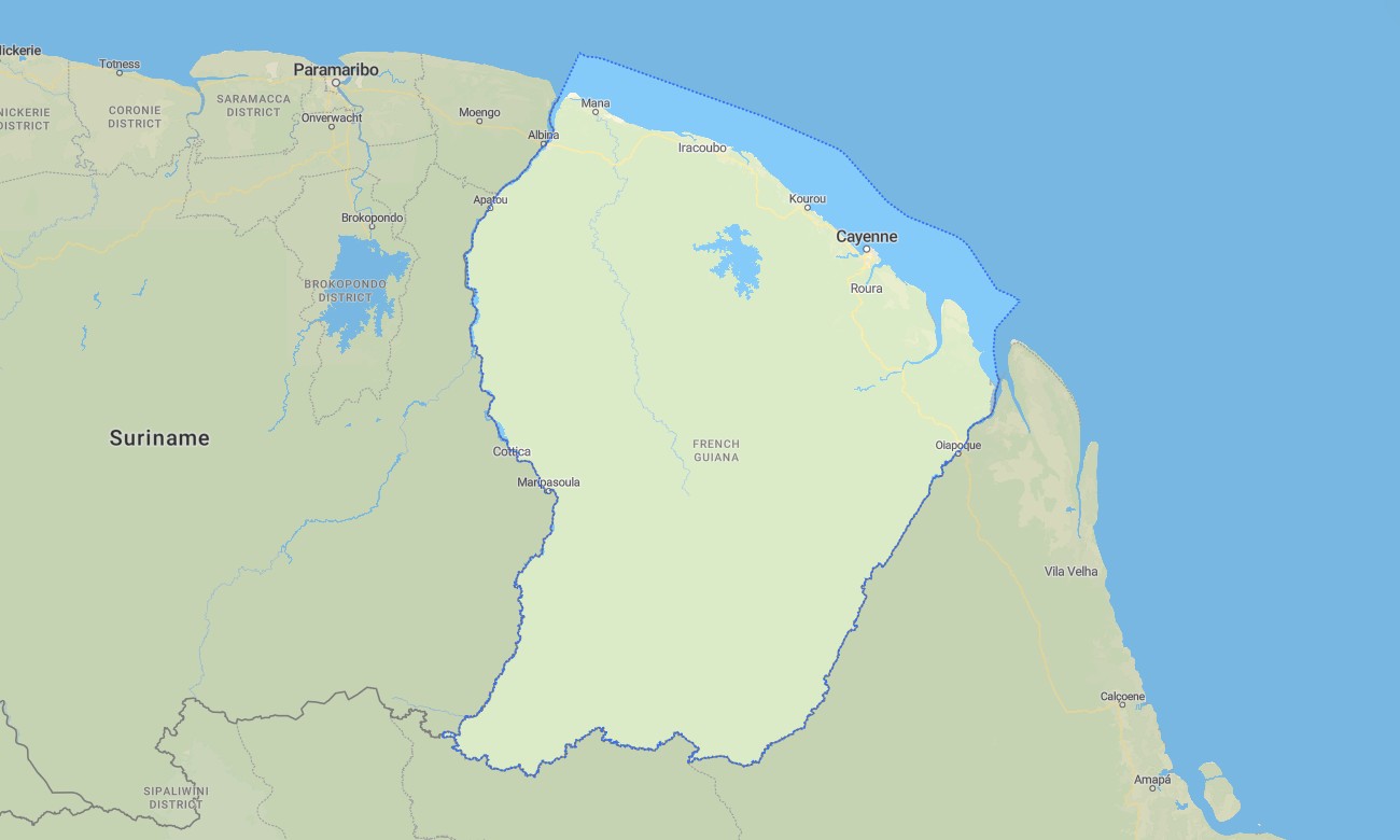
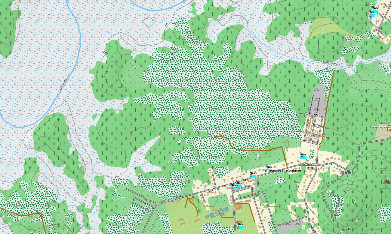
Explore the European gateway to the Amazon with a detailed topographic Garmin map designed for navigating the vast rainforests, mighty rivers, and isolated coastline of this overseas French department. This comprehensive Garmin GPS map provides full coverage from the capital Cayenne to the remote Maroni River border and the Guiana Space Centre, ensuring reliable guidance for jungle expeditions and coastal travel.
Built as a specialized OSM map tourist Garmin resource, it supports adventurous hiking tours along forest trails and essential road trips on the limited coastal highway network. These vital outdoor maps Garmin explorers depend on function fully offline. Instant download with regular free updates included ensures your Garmin map remains an accurate and indispensable tool for navigation in this challenging environment.
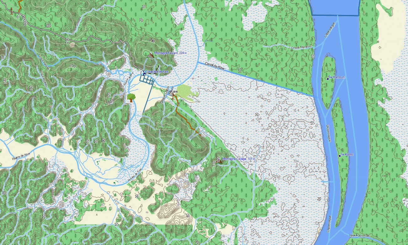
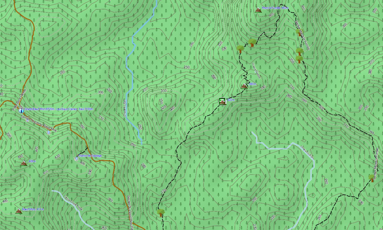
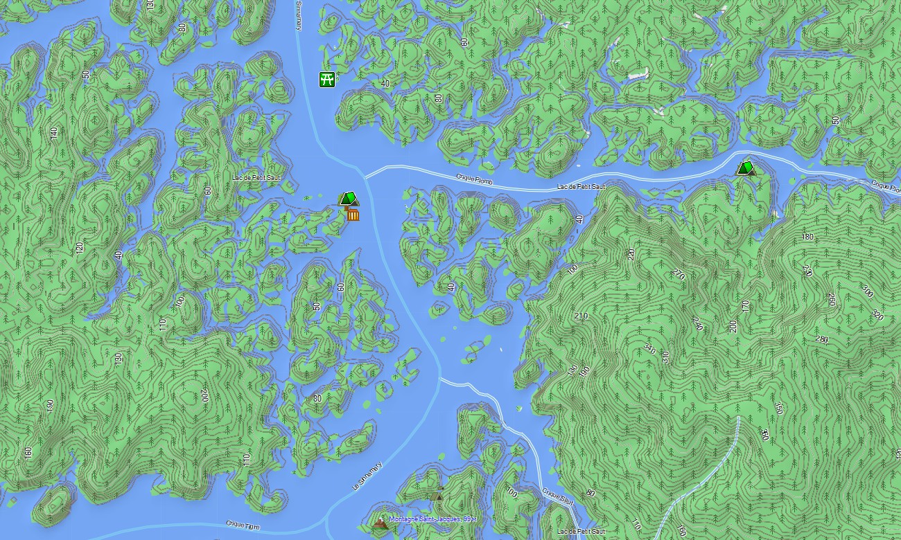
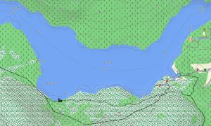
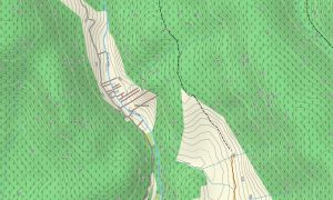
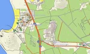
This Garmin GPS map serves as a critical OSM topo map, charting the main coastal Route Nationale 1, numerous river courses, logging tracks deep in the interior, and essential elevation data. The immense Amazonian rainforest, mangrove-lined estuaries, and the isolated Tumuc-Humac Mountains are clearly displayed, making these topographic maps for Garmin crucial for orientation in a terrain dominated by dense vegetation and waterways.
With built-in routing, these maps for Garmin navigator devices allow for route planning and turn-by-turn guidance directly on your GPS. Whether driving along the coast, navigating by river, or accessing remote communes, this Garmin map provides dependable offline navigation where conventional maps fall short.
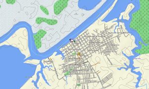
The map combines several key layers: the primary coastal and riverine transport networks, settlement details for towns and villages, and comprehensive topographic data for rainforest and river exploration. After purchase, you receive an instant download link; installation is quick, and scheduled updates keep your download Garmin map precise for this remote region.
Key Features:
- Topographic maps for Garmin covering French Guyana with roads, tracks, rivers, creeks, coastline, islands, and elevation contours
- Natural features such as tropical rainforest, mangrove swamps, savannas, rivers, coastal cliffs, and offshore islands (Îles du Salut)
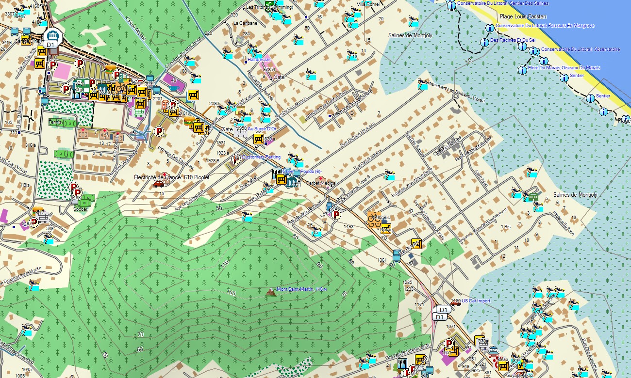
- Complete road coverage including the national coastal highway, urban streets, and limited inland tracks
- Points of interest:urban infrastructure, the Guiana Space Centre, historical penal colony sites, indigenous communities, archaeological zones, mountain peaks, viewpoints, lighthouses, river ports
- Routing support for driving and navigation on compatible devices
- Full compatibility with handheld GPS units, automotive navigators, and as a map for Garmin watch models
Only logged in customers who have purchased this product may leave a review.
Reviews
There are no reviews yet.