

Fujian Garmin topographic map
$29
Fujian topo map for Garmin
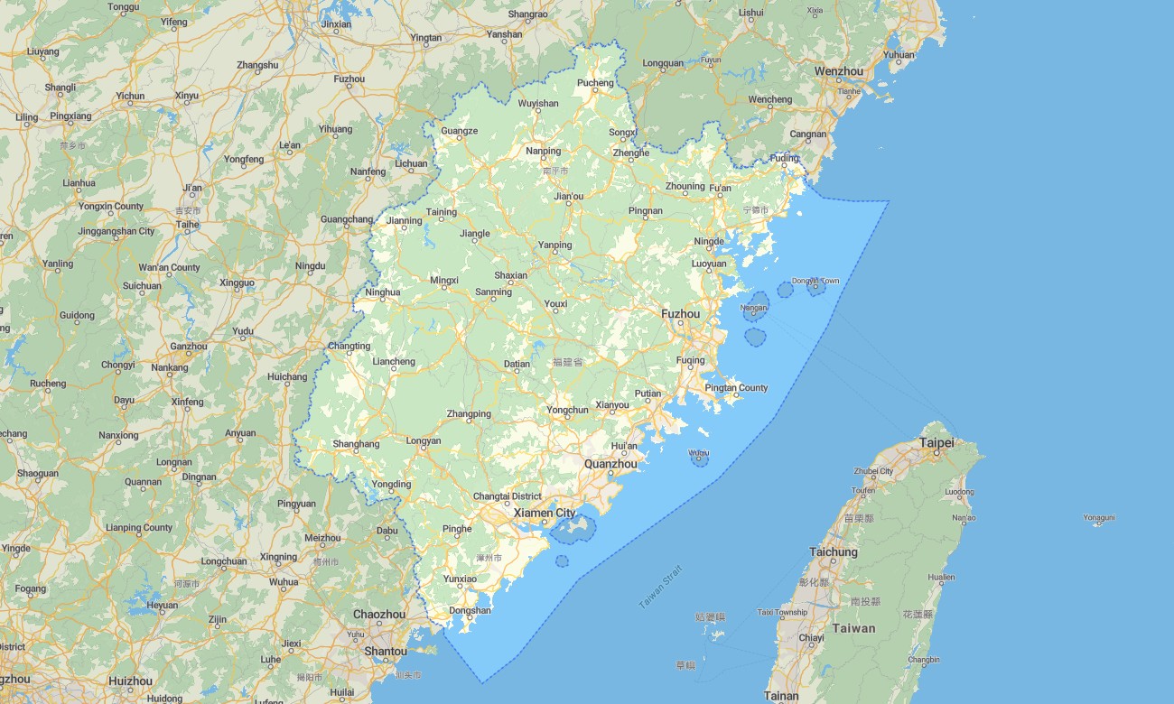
Travel through Fujian’s coastal cities, tea mountains, island roads, river valleys, tulou villages, and subtropical forests with accurate Garmin maps prepared for offline navigation. This Garmin GPS map covers Fuzhou, Xiamen, Quanzhou, Zhangzhou, Putian, Nanping, Wuyishan, coastal highways, and inland mountain districts.
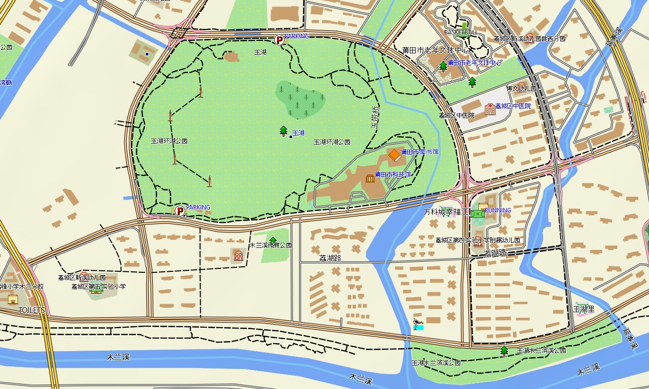
Created as a versatile OSM map tourist Garmin resource, the map is ideal for road trips, hiking, cycling, island travel, cultural sightseeing, and tea-region exploration. These outdoor maps Garmin travelers use include urban streets, coastal roads, rural tracks, walking paths, rivers, beaches, harbors, viewpoints, and historic attractions.
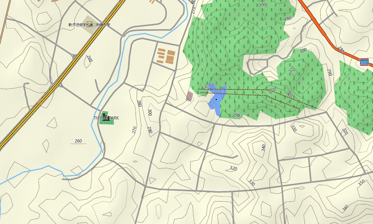
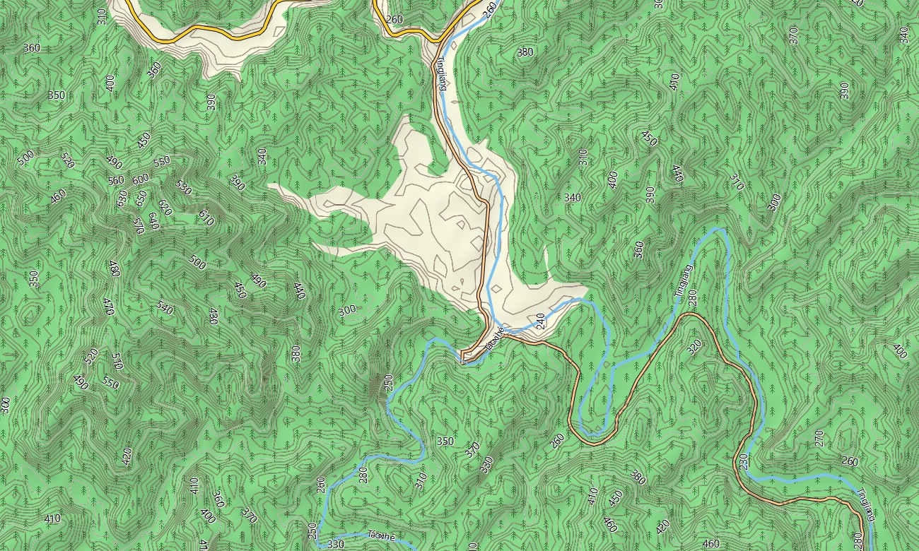
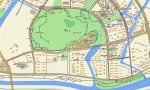
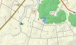
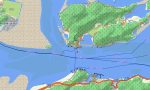
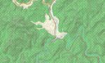
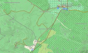
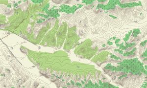
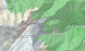
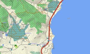
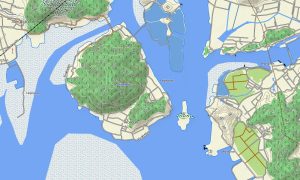
This Garmin GPS map functions as a practical OSM topo map with elevation contours, forested slopes, river gorges, coastal cliffs, islands, reservoirs, trails, and settlement details. The Garmin map helps users understand terrain around Wuyi Mountains, Taimu Mountain, Yongding tulou areas, and winding routes between coastal plains and inland highlands.
Based on open street maps Garmin compatible information, the product gives detailed coverage for dense cities, rural villages, ferry-connected areas, and mountain landscapes. With an instant download Garmin map option, installation is fast and convenient before traveling across the province.
Regular Garmin OSM maps updates help improve road data, trail access, tourist services, and local points of interest. Maps for Garmin navigator devices are suitable for rental-car journeys, coastal drives, temple visits, ferry approaches, and navigation between scenic towns, beaches, ports, and mountain parks.
A map for Garmin watch gives hikers, runners, cyclists, and walkers quick route visibility on trails, promenades, island paths, and forest roads. These OSM topographic maps and topographic maps for Garmin support independent exploration where mobile coverage may be limited in valleys, coastal headlands, or remote tea-growing areas.
Key Features:
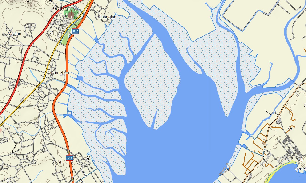
- Topographic maps for Garmin covering Fujian include expressways, coastal roads, mountain tracks, hiking paths, rivers, reservoirs, islands, ports, beaches, forests, villages, and elevation contours
- Natural features include the Wuyi Mountains, Min River valley, Taimu Mountain, subtropical forests, sea cliffs, island coastlines, tea terraces, waterfalls, river gorges, and protected landscapes
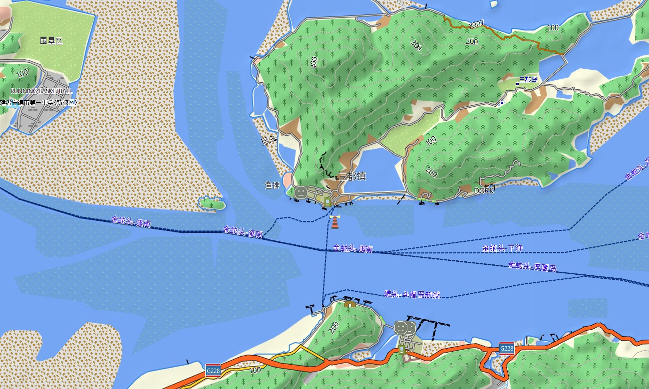
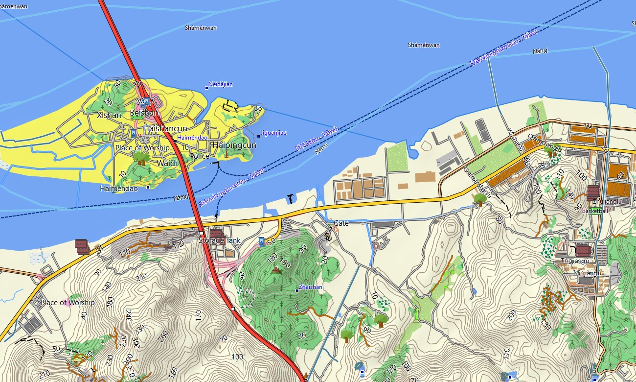
- Road coverage includes city streets, national highways, provincial roads, rural lanes, coastal routes, mountain roads, tunnels, bridges, ferry terminals, harbor access roads, and scenic drives
- Points of interest include tulou villages, temples, old ports, museums, beaches, viewpoints, tea plantations, historic districts, ferry docks, hotels, campsites, parks, and cultural landmarks
- Routing support helps compatible maps for Garmin navigator devices plan practical routes through Xiamen, Fuzhou, Quanzhou, mountain regions, coastal corridors, islands, and countryside areas
- Full compatibility supports many handheld Garmin units, automotive devices, outdoor navigators, cycling computers, and selected watches requiring a map for Garmin watch with OSM topographic maps
- The map is presented in two versions: with captions in Latin and Chinese characters
Only logged in customers who have purchased this product may leave a review.

Reviews
There are no reviews yet.