
Guangxi Garmin topographic map
$29
Guangxi topo map for Garmin
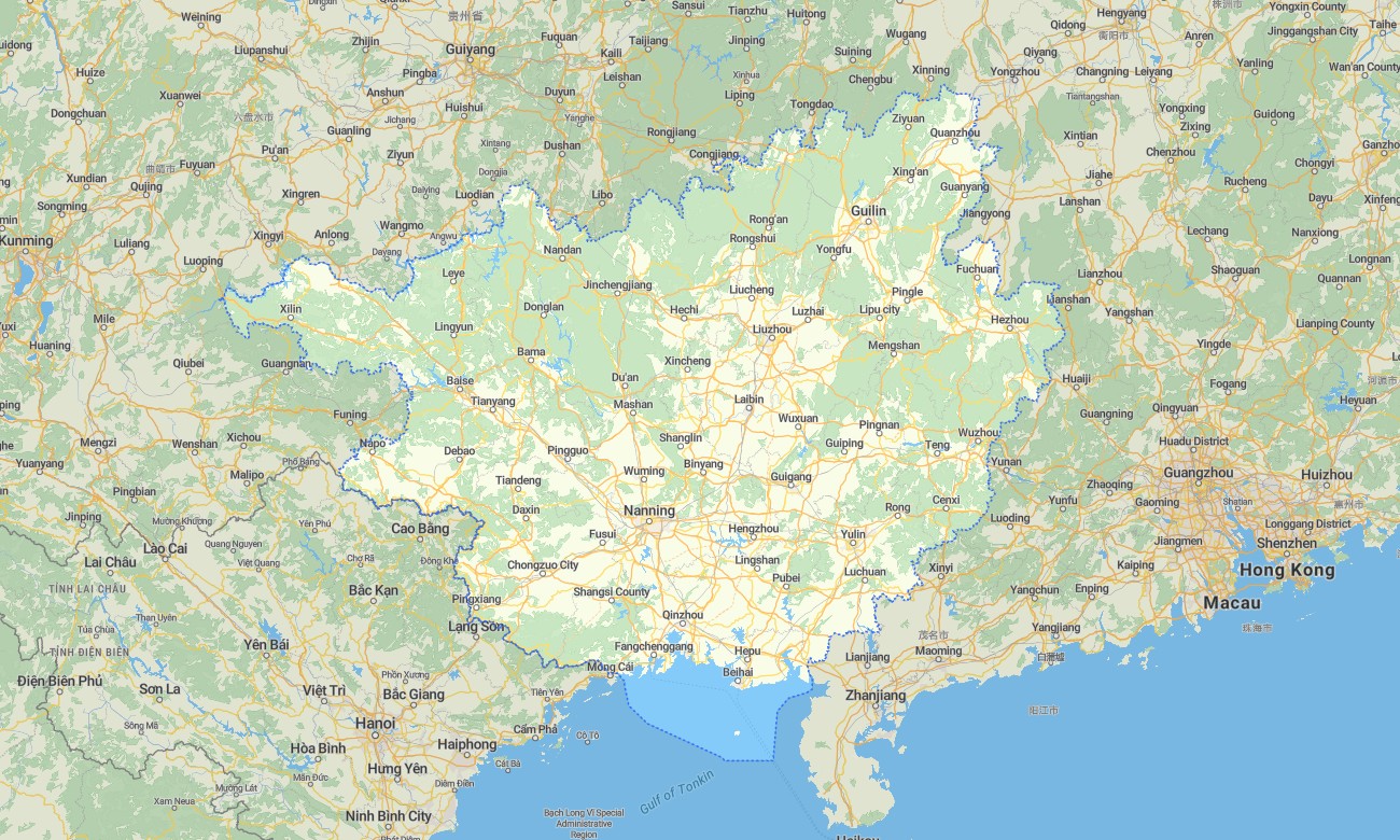
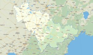
Navigate Guangxi’s karst mountains, tropical river valleys, border roads, rice terraces, caves, coastal cities, ethnic villages, and scenic highways with accurate Garmin maps prepared for offline travel. This Garmin GPS map covers Nanning, Guilin, Liuzhou, Beihai, Wuzhou, Baise, Hezhou, Fangchenggang, Longsheng, Yangshuo, and routes toward Vietnam, Guangdong, Guizhou, Hunan, and Yunnan.
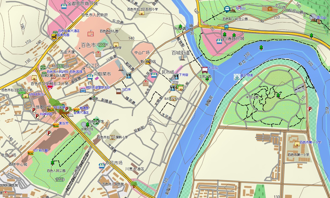
Created as a versatile OSM map tourist Garmin resource, the map supports road trips, hiking, cycling, cultural tourism, border travel, coastal holidays, and countryside exploration. These outdoor maps Garmin users value include expressways, rural roads, mountain tracks, walking paths, rivers, caves, coastlines, villages, viewpoints, ferry areas, and tourist infrastructure.
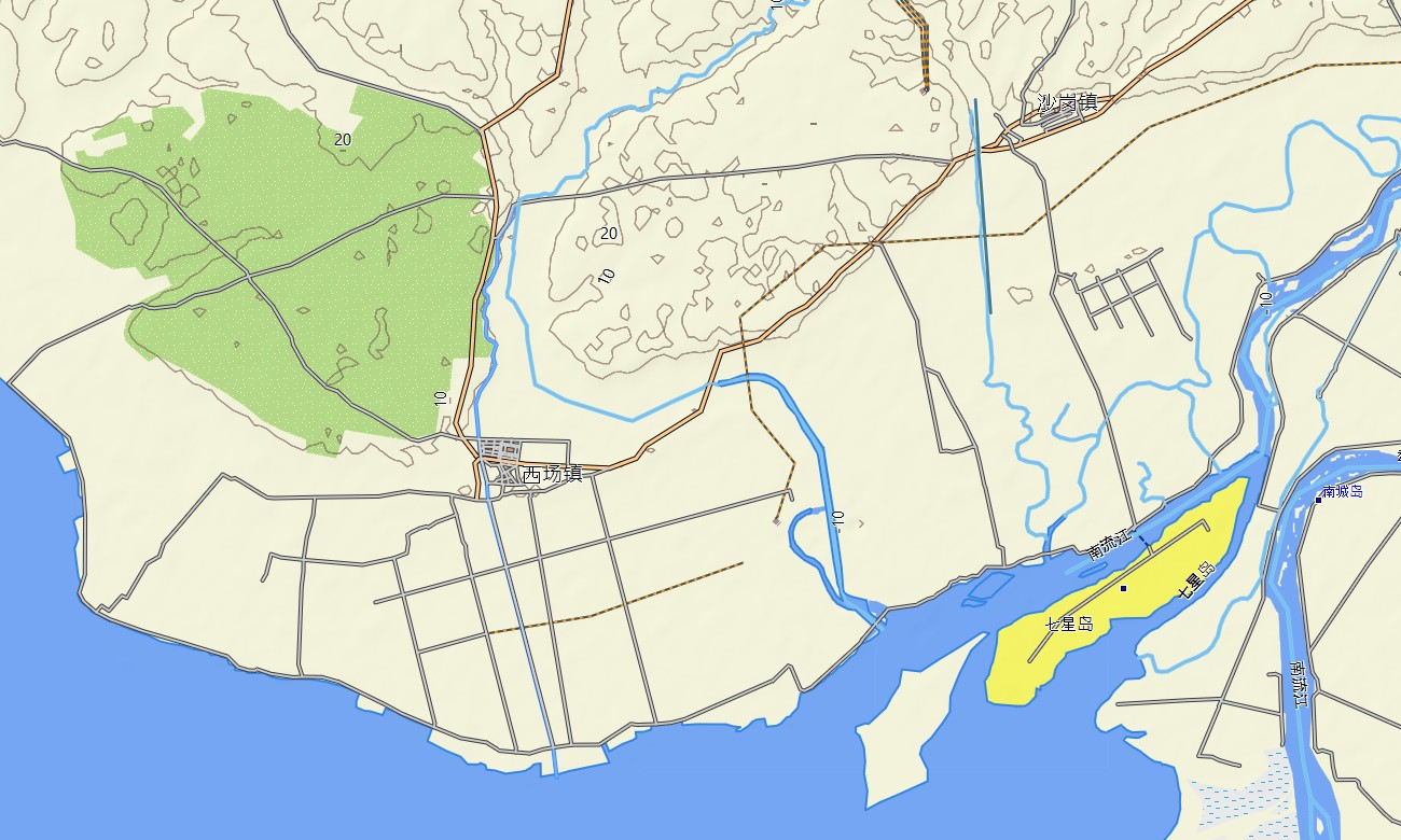
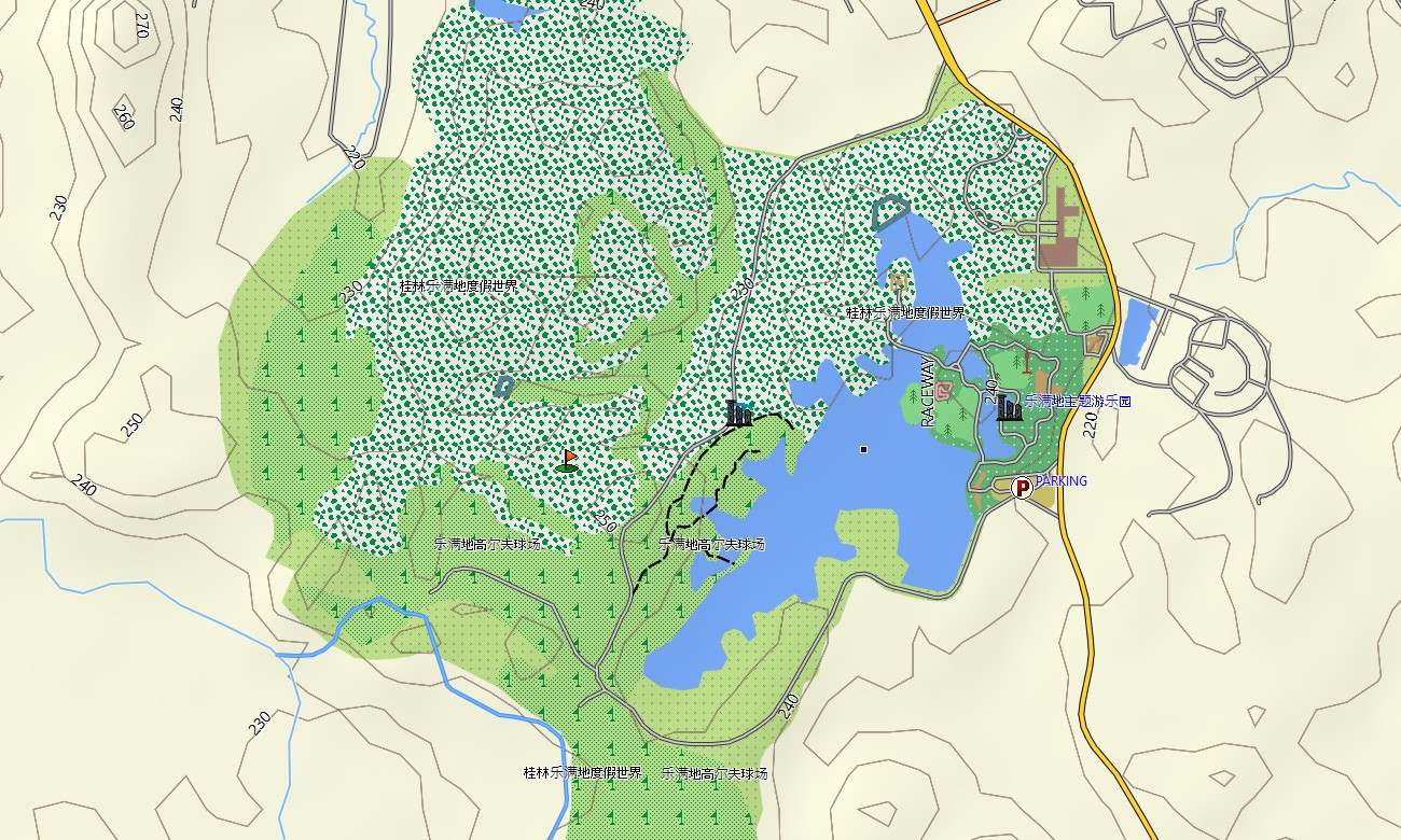
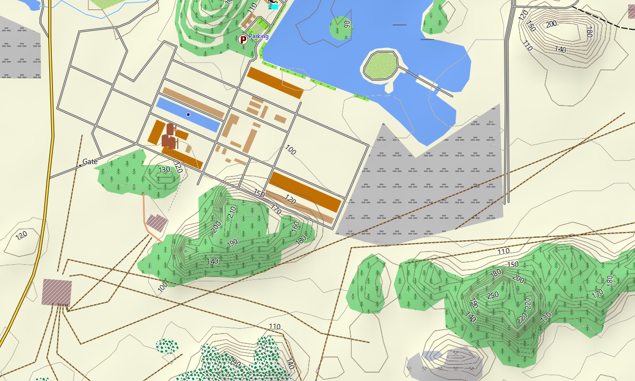
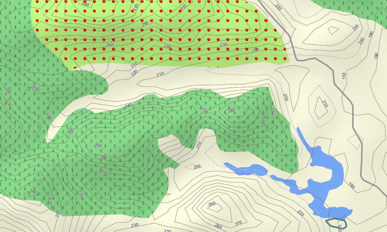
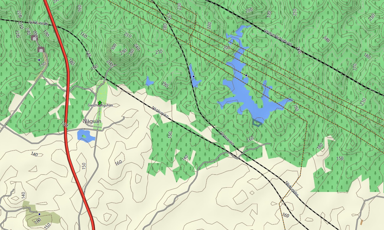
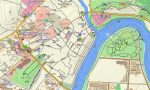
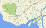
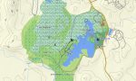
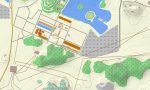
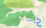
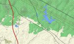
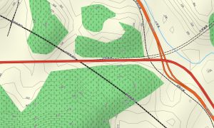
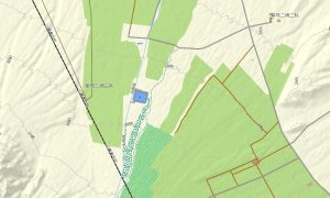
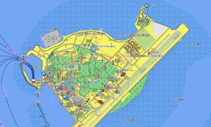
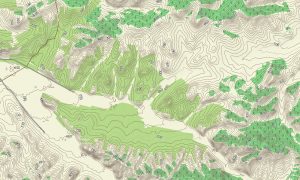
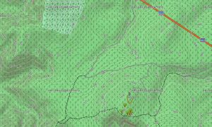
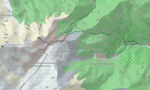
This Garmin GPS map functions as a refined OSM topo map with elevation contours, karst towers, river gorges, terraces, coastal plains, forested hills, reservoirs, and settlement details. The Garmin map is especially helpful around Guilin, Yangshuo, Longji Rice Terraces, Detian Waterfall, Mingshi landscapes, Beihai coast, and rugged western Guangxi roads.
Based on open street maps Garmin compatible information, the product gives practical coverage for cities, rural counties, border corridors, scenic reserves, coastal districts, and mountain regions. Users can download Garmin map files instantly after purchase and prepare compatible Garmin devices before traveling into areas where mobile signal may be limited.
Regular Garmin OSM maps updates help improve road data, scenic-area access, village lanes, trailheads, ferry points, and local attractions. Maps for Garmin navigator devices assist with city navigation, mountain driving, border routes, coastal travel, and journeys between caves, waterfalls, terraces, beaches, old towns, and ethnic villages.
A map for Garmin watch helps hikers, runners, cyclists, and outdoor travelers follow routes on karst trails, river paths, rice-terrace roads, coastal promenades, and rural lanes. These OSM topographic maps and topographic maps for Garmin give offline confidence across Guangxi’s distinctive limestone terrain, subtropical valleys, and border landscapes.
Key Features:
- Topographic maps for Garmin covering Guangxi include expressways, city streets, rural roads, mountain tracks, hiking paths, rivers, reservoirs, caves, coastlines, villages, border routes, and elevation contours
- Natural features include Guilin karst hills, Li River valley, Yangshuo landscapes, Longji Rice Terraces, Detian Waterfall, Beihai coast, tropical forests, limestone caves, river gorges, and coastal wetlands
- Road coverage includes national highways, provincial roads, urban routes, village lanes, mountain passes, bridge routes, tunnel sections, border access roads, ferry approaches, and scenic rural corridors
- Points of interest include caves, waterfalls, rice terraces, ethnic villages, temples, old towns, beaches, viewpoints, railway stations, hotels, markets, ports, campsites, and cultural landmarks
- Routing support helps compatible maps for Garmin navigator devices calculate practical routes through Nanning, Guilin, Yangshuo, coastal areas, border districts, karst valleys, and rural mountain settlements
- The map is presented in two versions: with labels in Latin characters and with labels in Chinese characters
- Full compatibility supports handheld Garmin GPS units, vehicle navigators, outdoor receivers, cycling computers, and selected watches requiring a map for Garmin watch with OSM topographic maps
Only logged in customers who have purchased this product may leave a review.
Reviews
There are no reviews yet.