
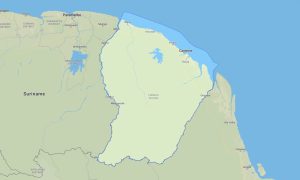
Guyana Garmin topographic map
$29
Guyana topo map for Garmin
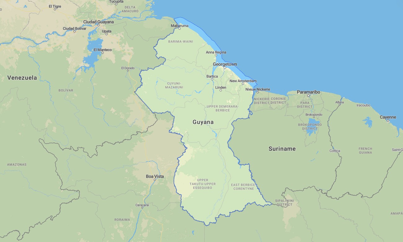
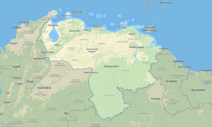
Journey into the heart of the Guiana Shield with a detailed topographic Garmin map crafted for navigating Guyana’s pristine rainforests, towering waterfalls, and vast savannas. This essential Garmin GPS map provides complete coverage from the coastal capital Georgetown to the remote Rupununi region and the Pakaraima Mountains, offering reliable guidance for eco-adventures and frontier travel.
Conceived as a practical OSM map tourist Garmin solution, it supports challenging hiking tours to mountaintops like Mount Roraima and necessary road trips along the limited but critical interior roads. These dependable outdoor maps Garmin travelers need work entirely without an internet connection. Instant download with regular free updates included guarantees your Garmin map stays a current and vital resource for navigation in this sparsely populated country.
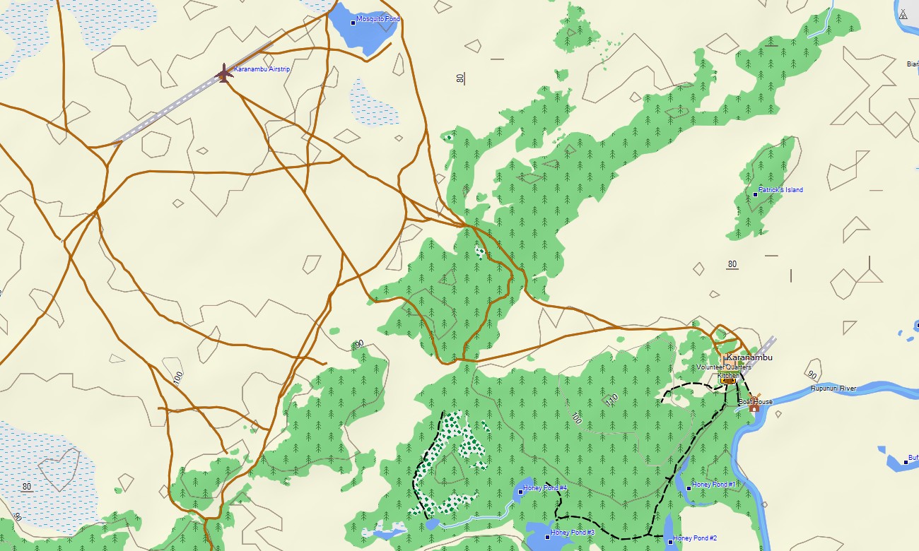
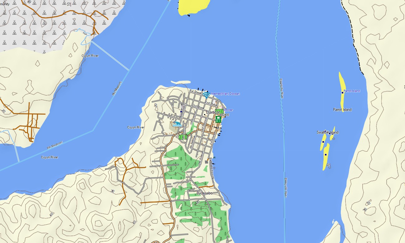
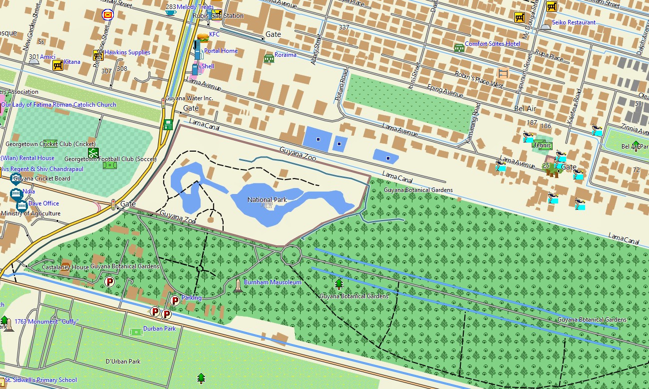
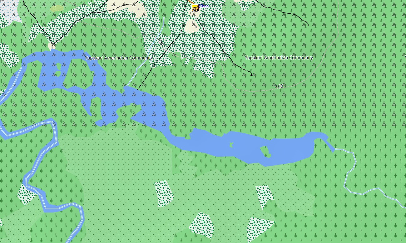
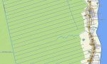
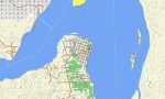
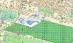
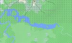
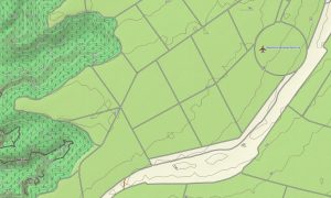
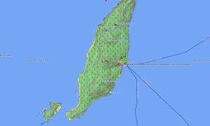
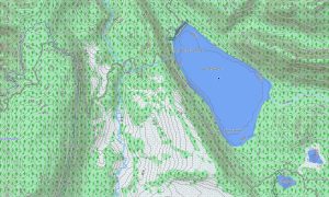
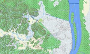
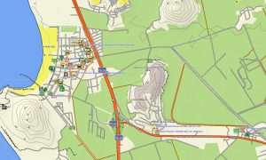
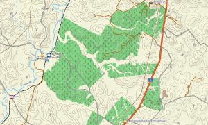
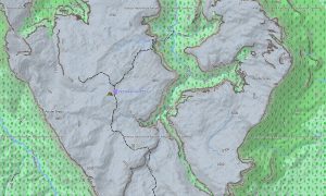
This Garmin GPS map functions as a comprehensive OSM topo map, integrating coastal highways, rough interior roads, extensive river networks, and detailed elevation contours. The immense tropical forest, the sprawling Rupununi Savanna, and the unique tabletop mountains (tepuis) are clearly shown, making these topographic maps for Garmin indispensable for exploring one of South America’s last wilderness frontiers.
Featuring integrated routing, these maps for Garmin navigator devices enable planning and turn-by-turn guidance directly on your GPS. Whether driving the coastal road, navigating tracks to mining areas, or traveling by river, this Garmin map ensures consistent offline guidance where infrastructure is minimal.
The map includes multiple data layers: primary road and river networks for regional travel, settlement information, and rich topographic data for rainforest and savanna exploration. After purchase, you get an instant download link; setup is fast, and routine updates keep your Garmin OSM maps accurate for this demanding environment.
Key Features:
- Topographic maps for Garmin covering Guyana with roads, tracks, rivers, creeks, waterfalls, lakes, and elevation contours
- Natural features such as dense rainforest, savannas, table-top mountains (tepuis), coastal marshes, river systems, and Kaieteur Falls
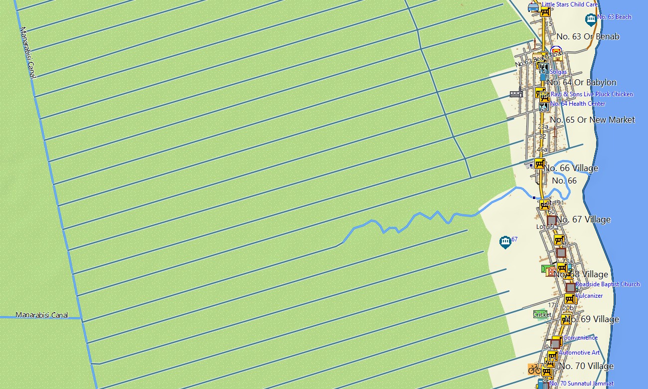
- Complete road coverage including coastal highways, interior laterite roads, urban streets, and remote rural connections
- Points of interest:urban infrastructure, historical sites, mining areas, indigenous villages, archaeological zones, mountain peaks, viewpoints, waterfalls, monuments, border crossings
- Routing support for driving and navigation on compatible devices
- Full compatibility with handheld GPS units, automotive navigators, and as a map for Garmin watch models
Only logged in customers who have purchased this product may leave a review.
Reviews
There are no reviews yet.