
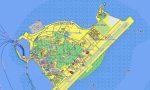

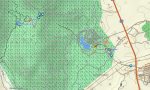

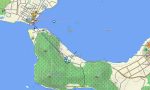
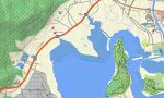
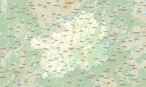

Hainan Garmin topographic map
$29
Hainan topo map for Garmin
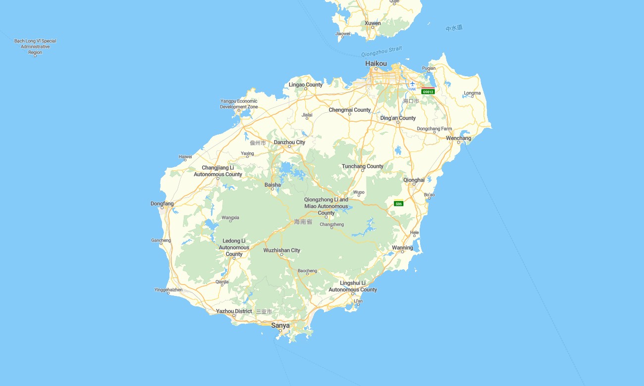
Explore Hainan’s tropical coastline, resort cities, rainforest mountains, beaches, island highways, fishing towns, and offshore routes with reliable Garmin maps designed for offline navigation. This Garmin GPS map covers Haikou, Sanya, Wenchang, Qionghai, Danzhou, Wanning, Lingshui, the central highlands, coastal ring roads, and major island destinations.
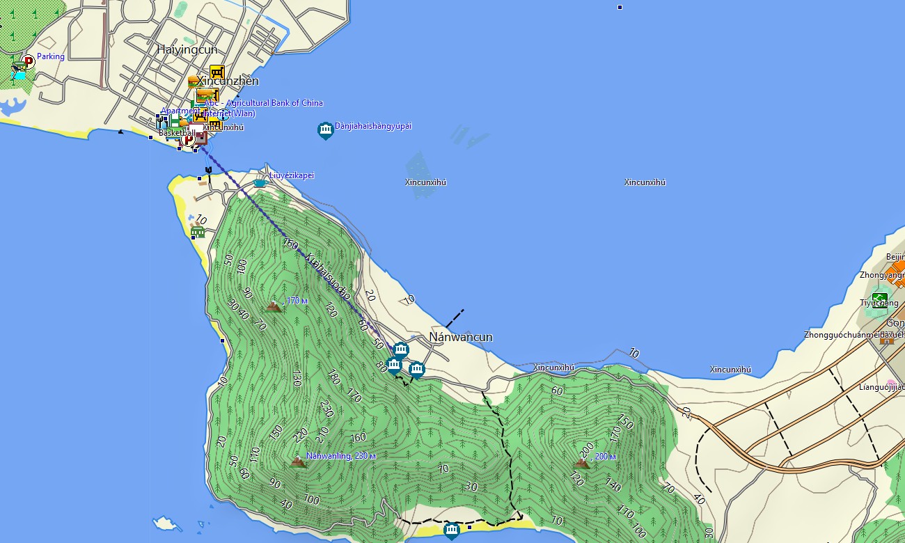
Built as a convenient OSM map tourist Garmin solution, the map supports beach holidays, scooter rides, rental-car journeys, cycling tours, hiking, surfing trips, and rainforest exploration. These outdoor maps Garmin users value include urban streets, coastal roads, village lanes, trails, rivers, harbors, beaches, viewpoints, hotels, parks, and tourist infrastructure.
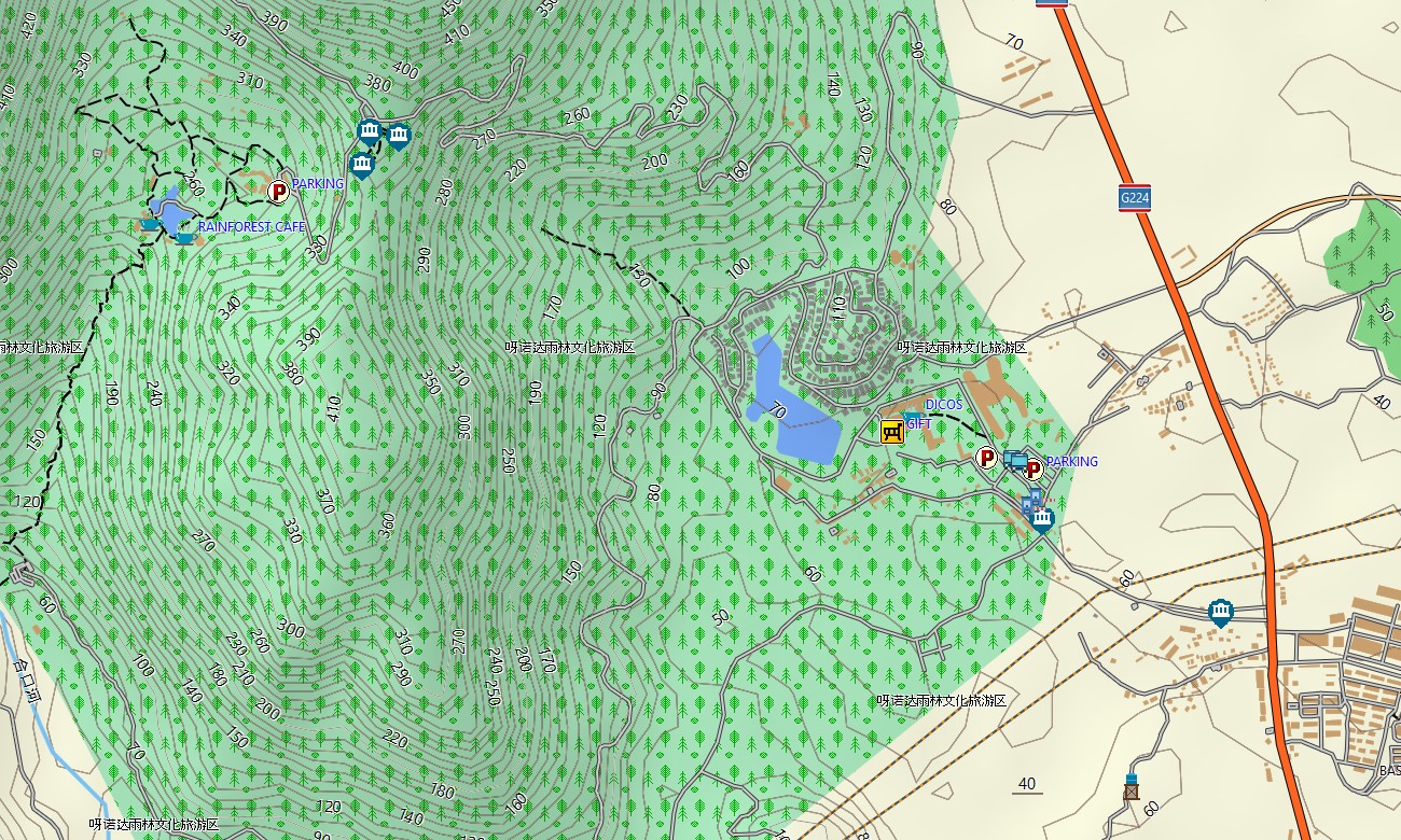
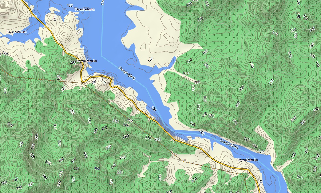
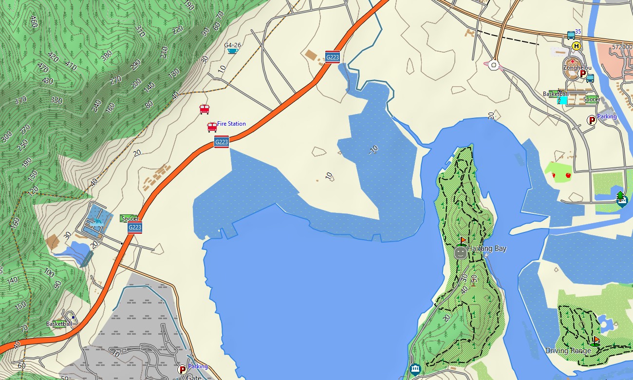
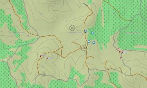
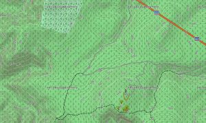
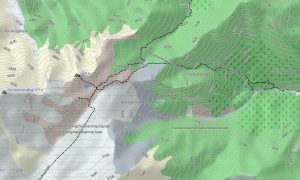
This Garmin GPS map also works as a clear OSM topo map with elevation contours, tropical hills, rainforest valleys, coastlines, reservoirs, rivers, headlands, rural tracks, and settlement layers. The Garmin map helps users plan routes around Wuzhi Mountain, Jianfengling, Yanoda rainforest, Haitang Bay, Yalong Bay, and the island’s interior roads.
Created from open street maps Garmin compatible information, the product provides practical detail for resort districts, ports, rural communities, beaches, forest parks, and fast-growing urban areas. With an instant download Garmin map option, travelers can install the files before arrival and navigate without depending on mobile data.
Updated Garmin OSM maps help keep roads, attractions, beach access points, hotels, trails, and transport links more accurate. Maps for Garmin navigator devices are useful for island road trips, airport transfers, coastal touring, village routes, rainforest access, and navigation between beaches, resorts, marinas, and cultural sites.
A map for Garmin watch is ideal for runners, hikers, cyclists, walkers, and water-sport travelers following promenades, rainforest paths, coastal trails, or city routes. These OSM topographic maps and topographic maps for Garmin deliver offline orientation across Hainan’s tropical landscapes from sea level to mountain ridges.
Key Features:
- Topographic maps for Garmin covering Hainan include island highways, city streets, coastal roads, rural lanes, trails, rivers, reservoirs, beaches, ports, rainforest areas, villages, and elevation contours
- Natural features include Wuzhi Mountain, Jianfengling rainforest, tropical beaches, coral coastlines, river valleys, mangroves, waterfalls, headlands, bays, offshore islands, and central highland terrain
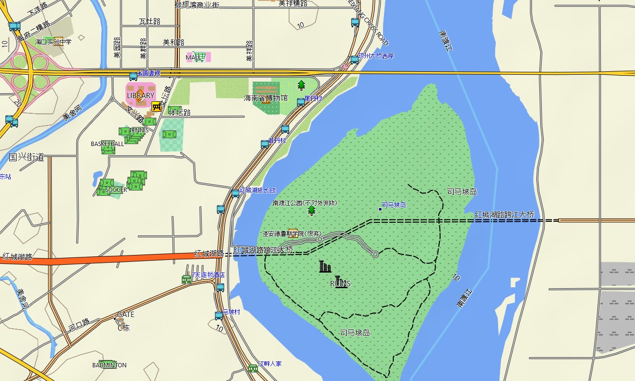
- Road coverage includes expressways, ring-road sections, resort access roads, airport routes, harbor roads, village streets, mountain roads, scenic drives, bridges, and coastal corridors
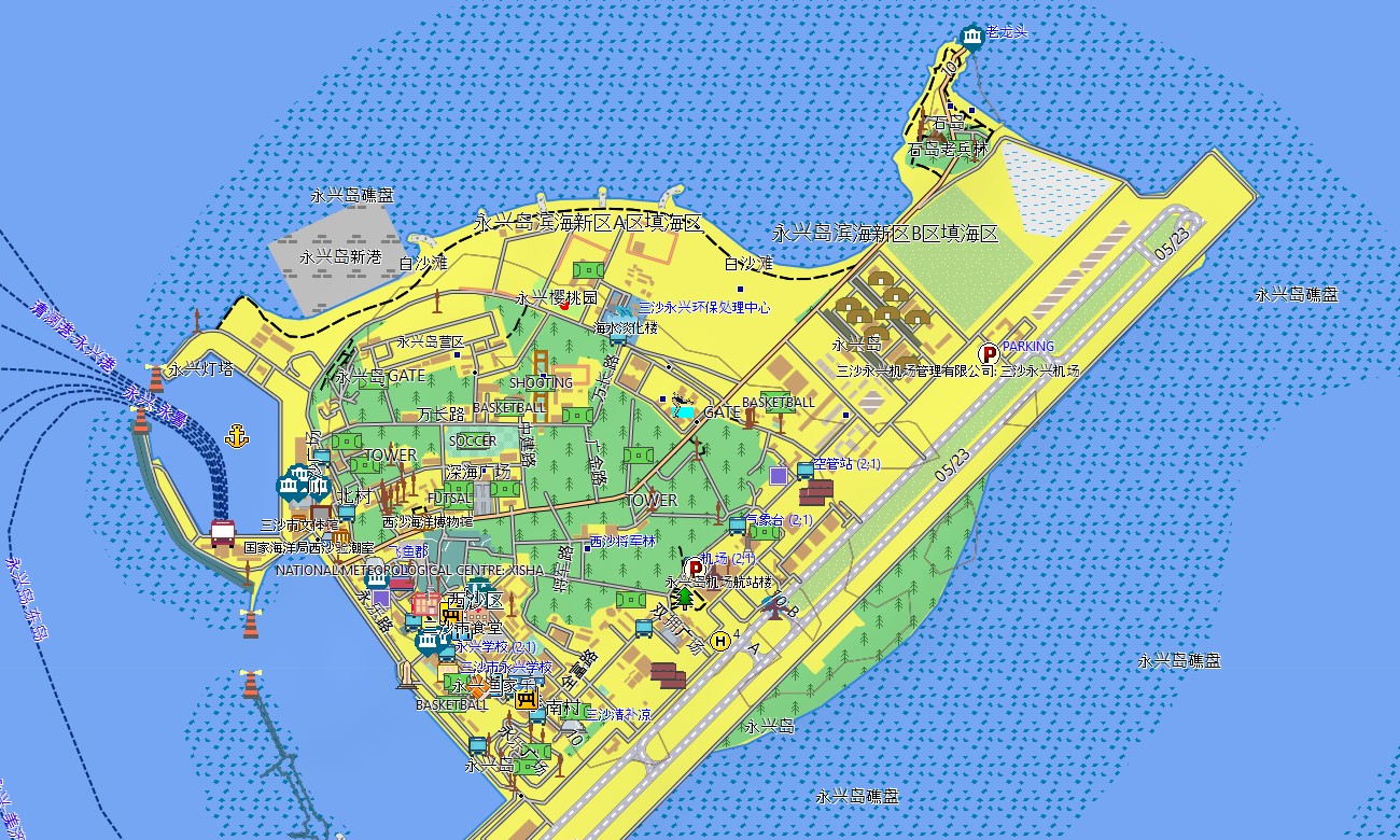
- Points of interest include beaches, resorts, marinas, temples, markets, museums, viewpoints, rainforest parks, hot springs, campsites, surf spots, railway stations, hotels, and cultural villages
- Routing support helps compatible maps for Garmin navigator devices guide drivers, cyclists, and tourists around Haikou, Sanya, coastal towns, rainforest parks, rural interiors, and beach destinations
- Full compatibility is available for handheld GPS units, automotive Garmin devices, outdoor navigators, cycling computers, and selected devices using a map for Garmin watch with OSM topographic maps
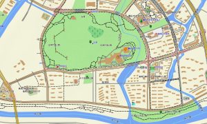
- The map is presented in two versions: with captions in Latin and Chinese characters
Only logged in customers who have purchased this product may leave a review.





Reviews
There are no reviews yet.