
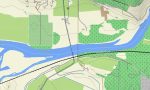
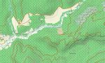
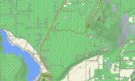
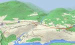
Idaho Garmin topographic map
$25
Idaho topo map for Garmin
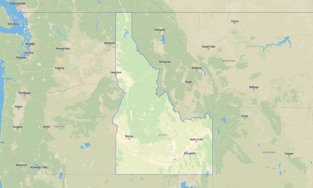
Navigate Idaho’s Sawtooth peaks, lava plains, forested mountains, deep canyons, clear lakes, river valleys, and high desert landscapes with detailed Garmin maps for road travel and outdoor exploration. This Garmin GPS map covers Boise, Idaho Falls, Coeur d’Alene, Twin Falls, Pocatello, Sun Valley, the Snake River corridor, national forests, reservoirs, and remote backroads.
Created as a rugged OSM map tourist Garmin resource, it supports hiking, fishing, camping, overland driving, mountain biking, hunting access, and scenic touring. These outdoor maps Garmin users rely on operate offline, giving the Garmin map strong practical value in mountain regions, canyon country, and rural areas far from mobile coverage.
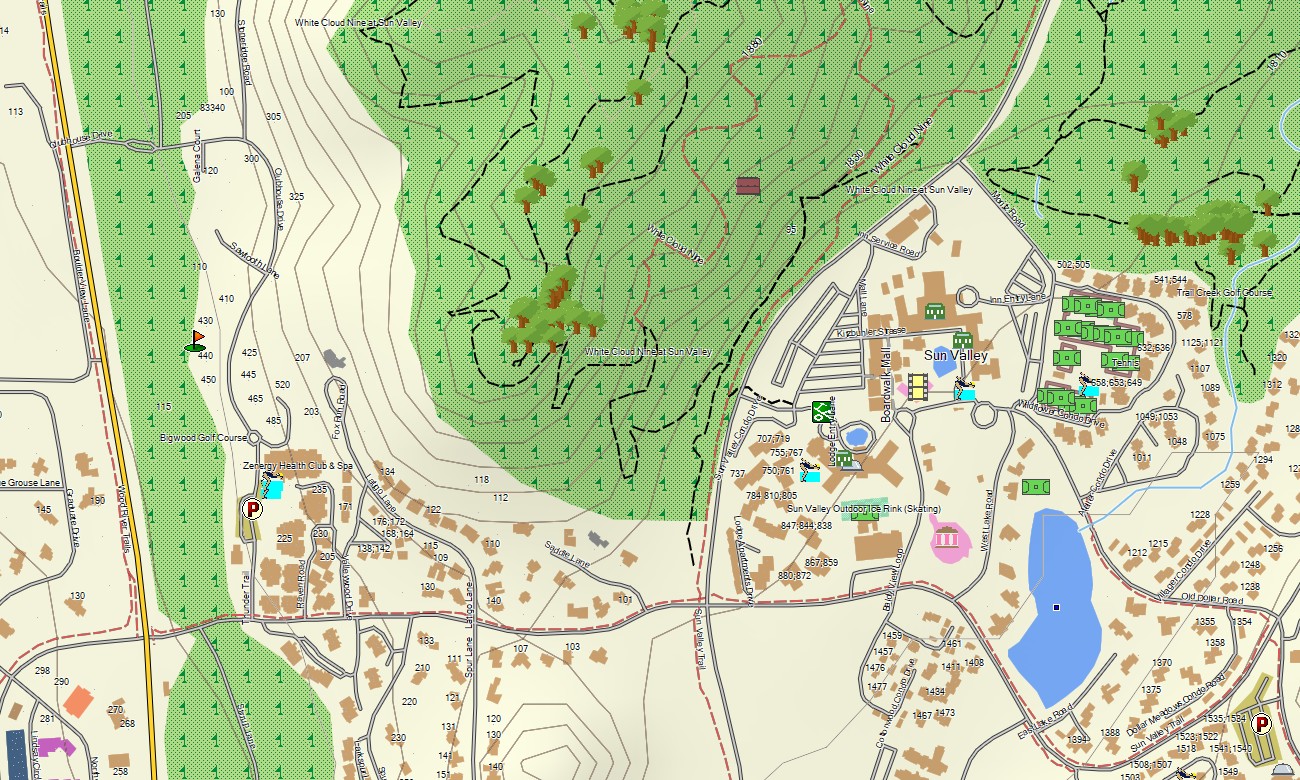
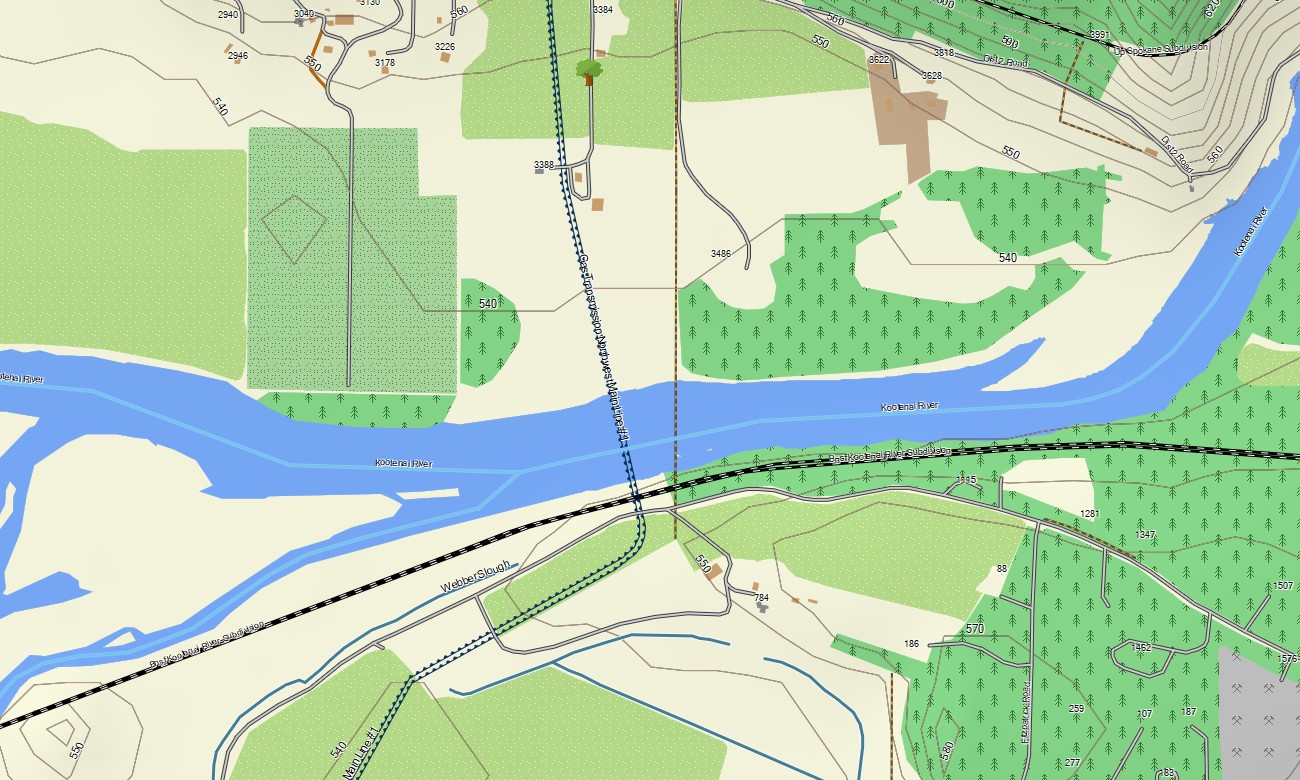
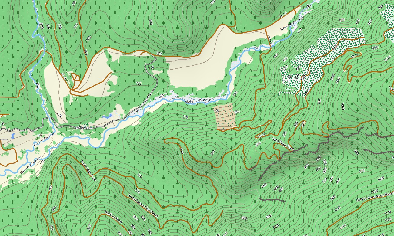
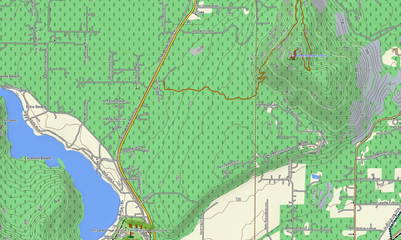
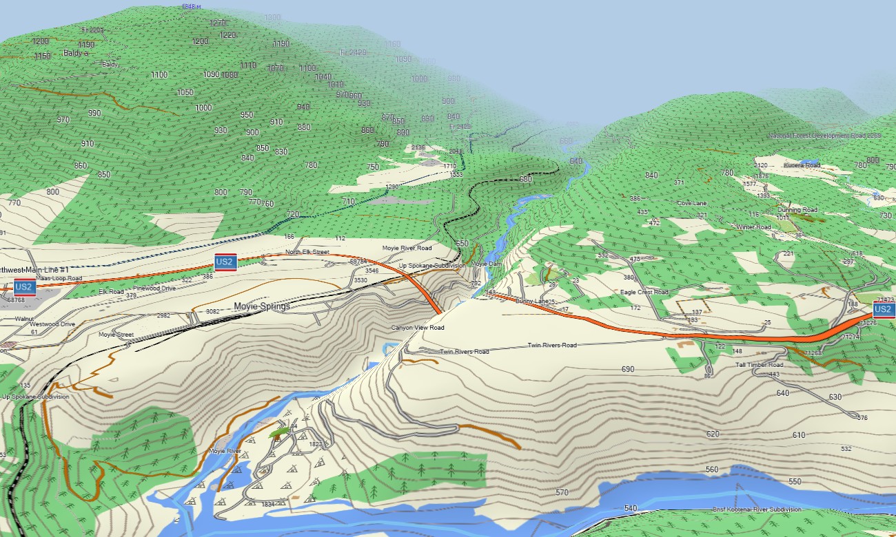
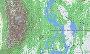
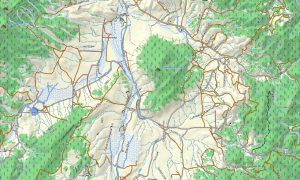
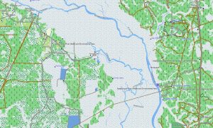
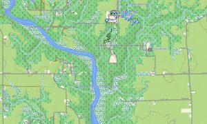
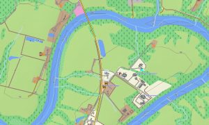
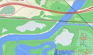
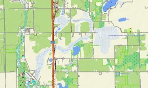
This Garmin GPS map works as an OSM topo map, displaying highways, local roads, forest routes, trails, tracks, rivers, reservoirs, lakes, lava fields, ridges, valleys, passes, and elevation contours. Built from open street maps Garmin compatible data, these OSM topographic maps help travelers understand Idaho’s sharp transition between alpine terrain, agricultural valleys, and volcanic plains.
Maps for Garmin navigator devices provide routing support along I-84, US-95, US-93, scenic byways, and urban streets where compatible. Whether exploring the Sawtooth Range, approaching Craters of the Moon, or driving near the Snake River Canyon, this Garmin map gives stable offline orientation.
The product combines road networks, public land access routes, recreation paths, hydrology, terrain shading, elevation contours, and settlement detail. After purchase, use the download Garmin map link for installation. Garmin OSM maps are practical for handheld GPS units, automotive receivers, outdoor navigation devices, and selected models using a map for Garmin watch.
Key Features:
- Topographic maps for Garmin covering Idaho with roads, forest tracks, trails, rivers, lakes, reservoirs, and elevation contours
- Natural features such as the Sawtooth Range, lava plains, canyons, forests, lakes, high desert, and river valleys
- Road coverage including interstates, US highways, scenic byways, forest roads, city streets, and rural routes
- Points of interest: hot springs, trailheads, campgrounds, boat ramps, mining towns, viewpoints, dams, monuments
- Routing support for driving and long-distance navigation on compatible Garmin devices
- Works with handheld GPS units, automotive navigators, and selected Garmin watch models
Only logged in customers who have purchased this product may leave a review.
Reviews
There are no reviews yet.