
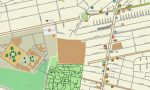
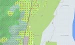
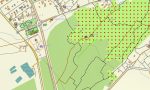
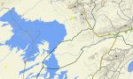
Iran Garmin topographic map
Iran topo map for Garmin
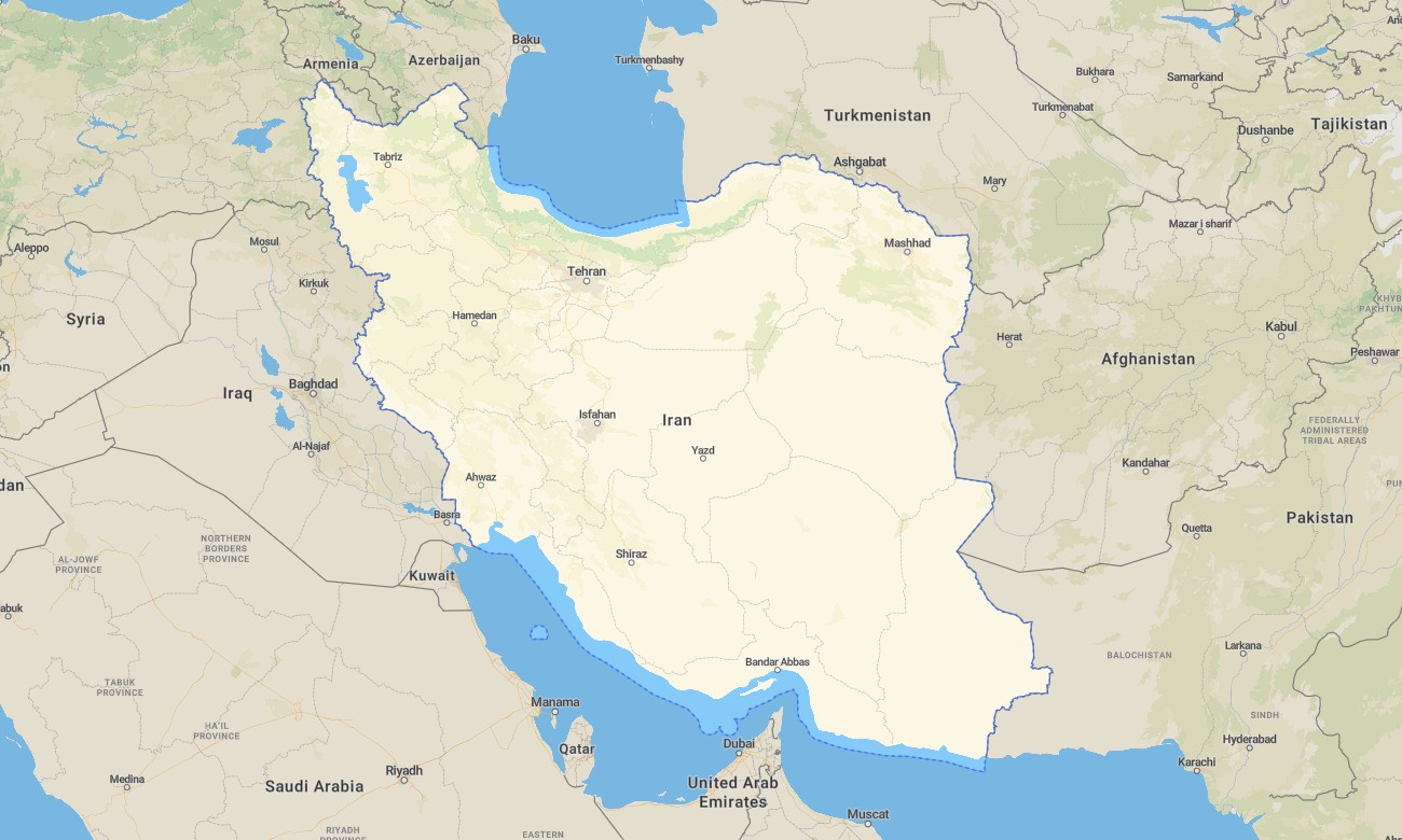
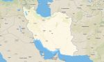
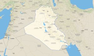
Cross deserts, mountains, and coastlines across Iran with a detailed topographic Garmin map designed for long-distance travel and off-road exploration. This Garmin GPS map covers Tehran, the Alborz and Zagros ranges, central deserts, and Persian Gulf shores, turning basic Garmin maps into a powerful multi-region navigation tool.
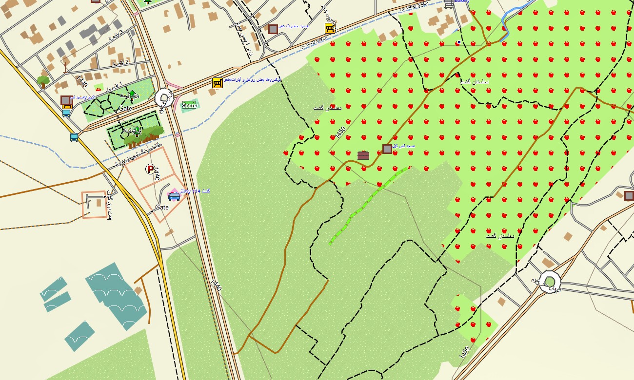
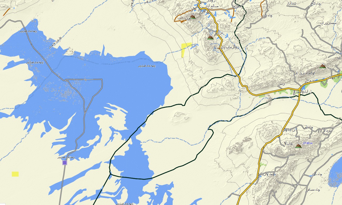
Built on OSM topographic maps, it highlights relief, valleys, and passes vital for real-world route planning. Created as an OSM map tourist Garmin product, it supports city sightseeing, historical itineraries, and remote desert or mountain trips.
These outdoor maps Garmin users rely on work fully offline, so your Garmin map remains accessible in canyons, salt flats, and high plateaus with no signal. An instant download Garmin map link lets you deploy the package quickly to compatible devices.
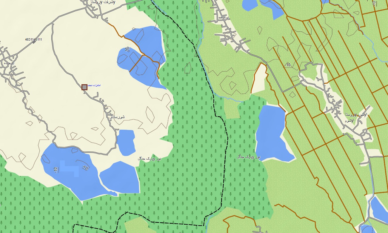
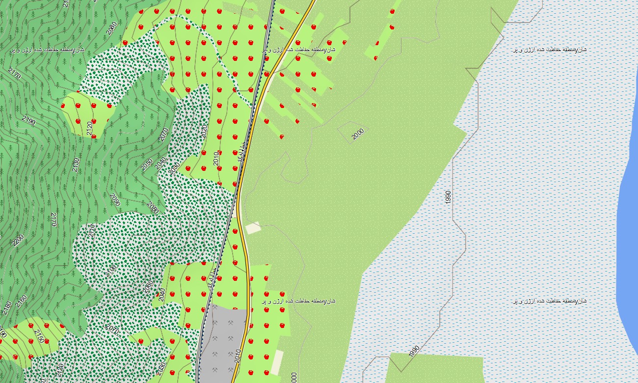
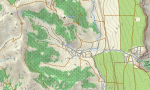
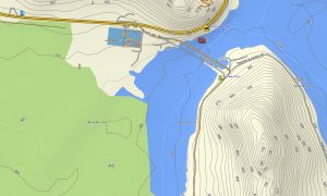
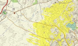
Functioning as an OSM topo map, it fuses contour lines, rivers, pistes, tracks, and town streets.
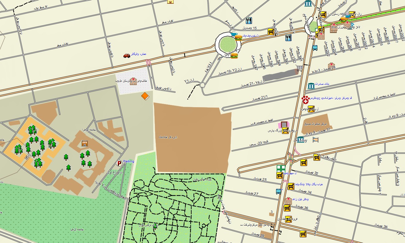
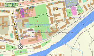
Open street maps Garmin layers provide detailed urban mapping, while OSM topographic maps add elevation needed to understand steep ascents and isolated basins.
Routing-capable maps for Garmin navigator units calculate journeys along national highways, mountain roads, and desert crossings. Drivers, overlanders, and field teams all benefit from using one unified Garmin GPS map for both planning and on-the-ground navigation.
For active users, Garmin OSM maps can be loaded as a map for Garmin watch on supported outdoor models. Trail runners, hikers, and mountaineers can follow key lines and contours directly on the wrist.
Layered data merges transport, hydrology, relief, and settlements into a single Garmin map, making topographic maps for Garmin extremely useful for logistics and adventure travel. Distributed as downloadable Garmin maps, the product receives periodic updates to keep tracks, roads, and points of interest current.
Key Features:
- Topographic maps for Garmin covering Iran with highways, secondary roads, desert tracks, mountain paths, rivers, seasonal streams, and elevation contours
- Natural features such as mountain chains, plateaus, salt deserts, oases, canyons, and coastlines are clearly depicted on the OSM topographic maps
- OSM topo map data helps users judge gradients, passes, and valley systems for trekking, overlanding, and field operations
- Open street maps Garmin layers add dense street detail for major cities, industrial areas, ports, and smaller towns
- Routing on maps for Garmin navigator devices supports intercity travel, cross-desert routes, and regional logistics
- Outdoor maps Garmin packages let users download Garmin map segments tailored to specific provinces or routes
- Garmin OSM maps are compatible with many handheld GPS units and can be configured as a map for Garmin watch on selected wearables
- The Garmin map, built as an OSM map tourist Garmin solution, turns the Garmin GPS map into a flexible tool for culture trips, expeditions, and professional surveys
Only logged in customers who have purchased this product may leave a review.
Reviews
There are no reviews yet.