
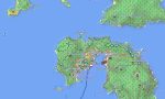
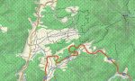

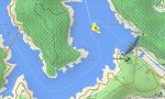
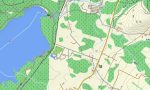
Japan Garmin topographic map
$42
Japan topo map for Garmin
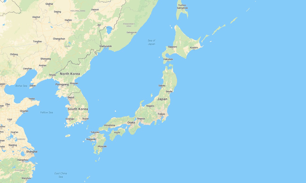
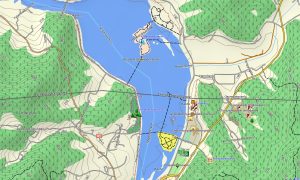
Travel confidently across Japan’s cities, mountains, and coasts with a high-detail topographic Garmin map tuned to dense infrastructure and steep terrain. This Garmin GPS map covers Hokkaido, Honshu, Shikoku, Kyushu, and many smaller islands, enhancing basic Garmin maps with contour-rich OSM topographic maps.
It serves drivers, hikers, cyclists, and visitors who need precise route and relief information. Built as an OSM map tourist Garmin solution, it supports rail-to-hike trips, scenic drives, pilgrim routes, and city sightseeing. These outdoor maps Garmin users trust work completely offline, so your Garmin map remains available in deep valleys, forests, and tunnels. A quick download Garmin map link delivers Garmin OSM maps for immediate installation.
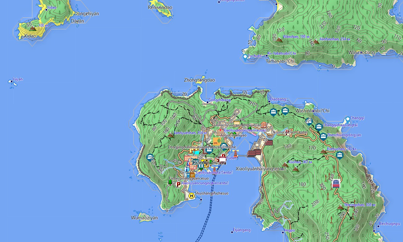
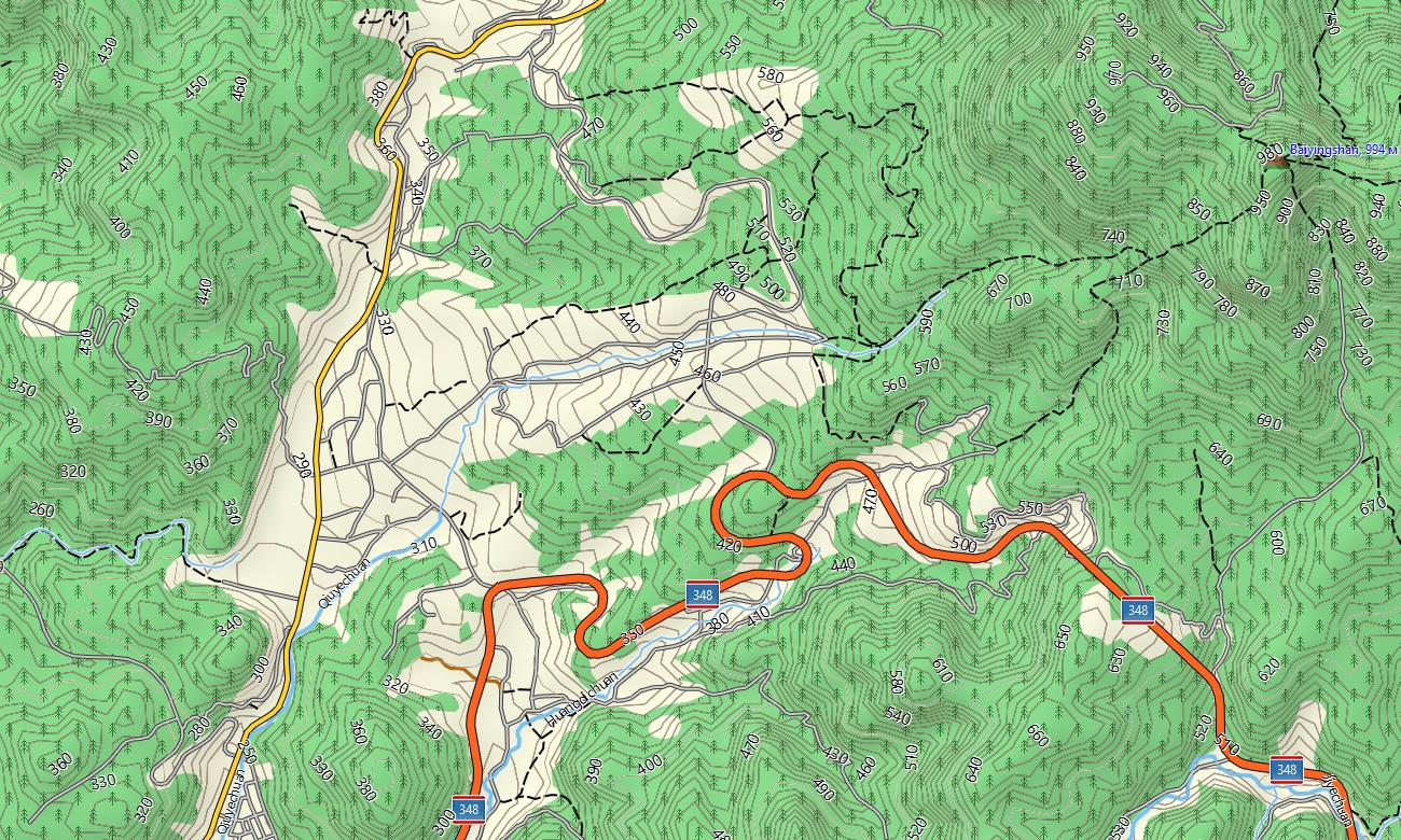
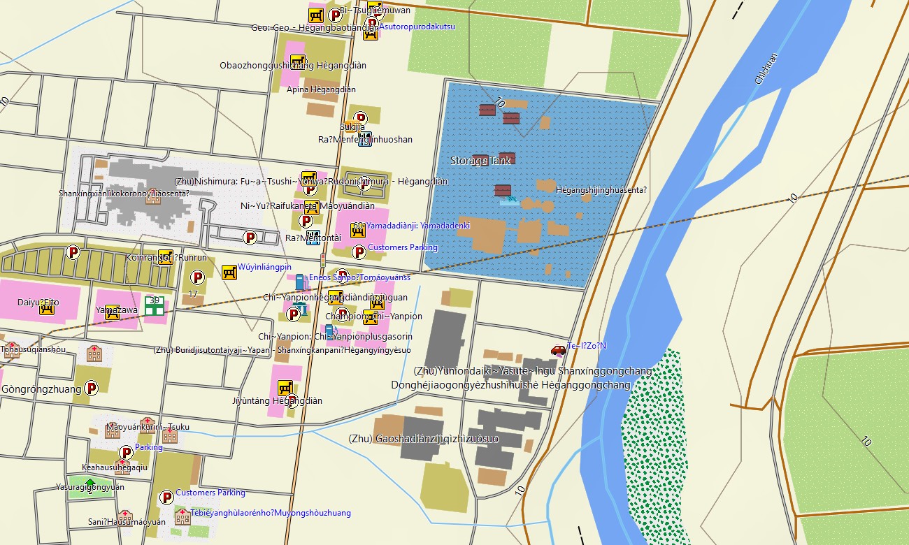
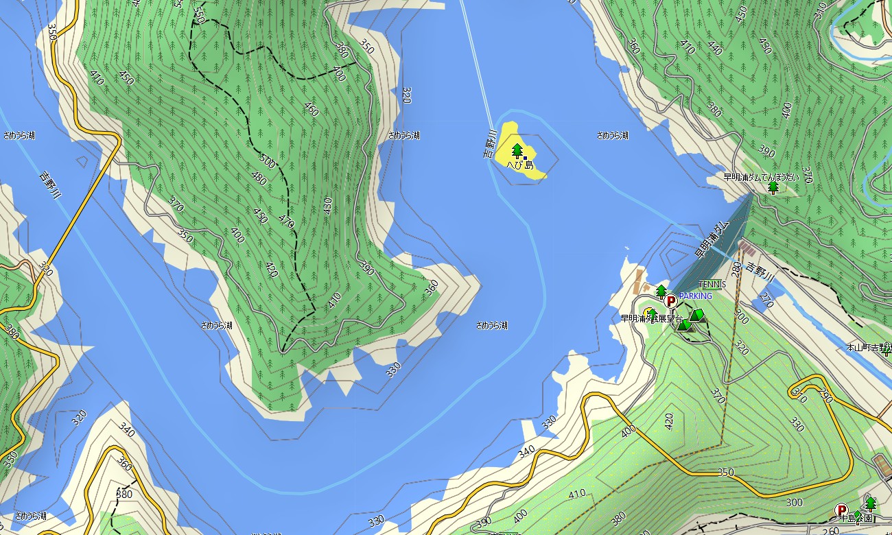
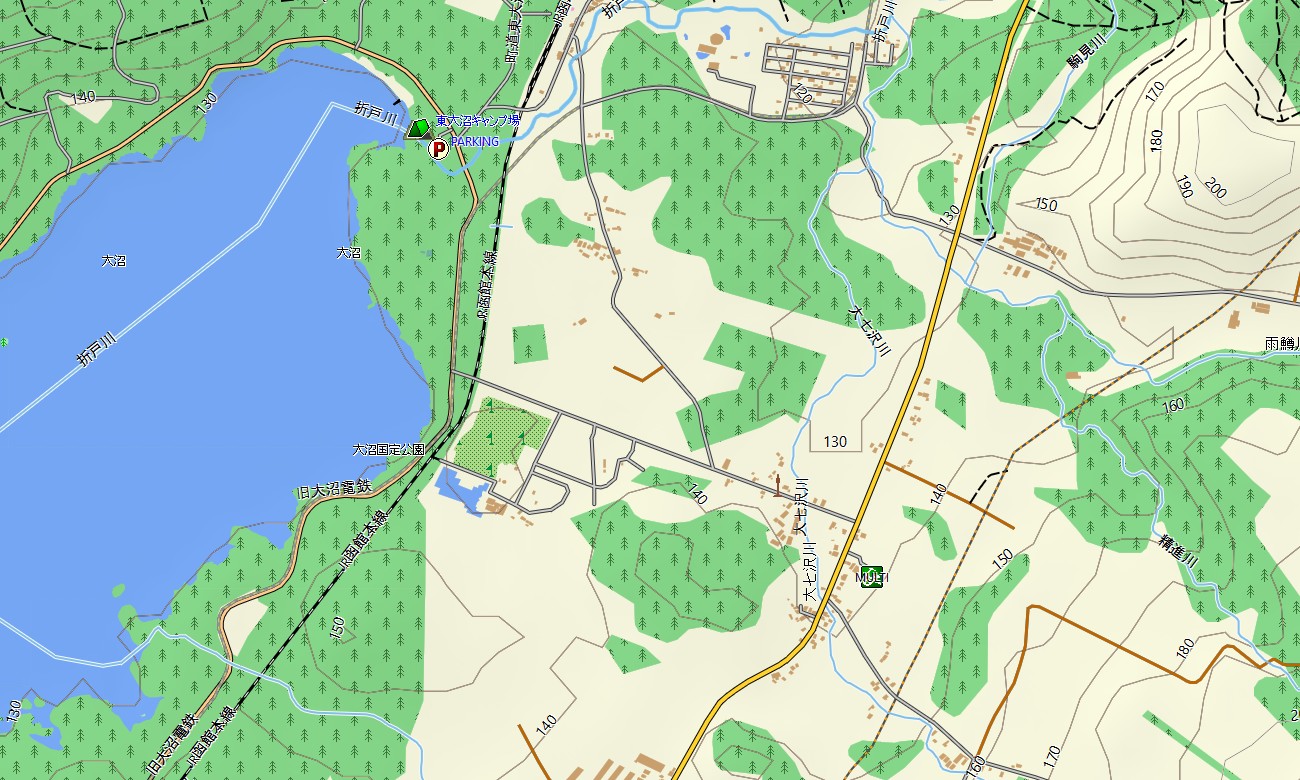
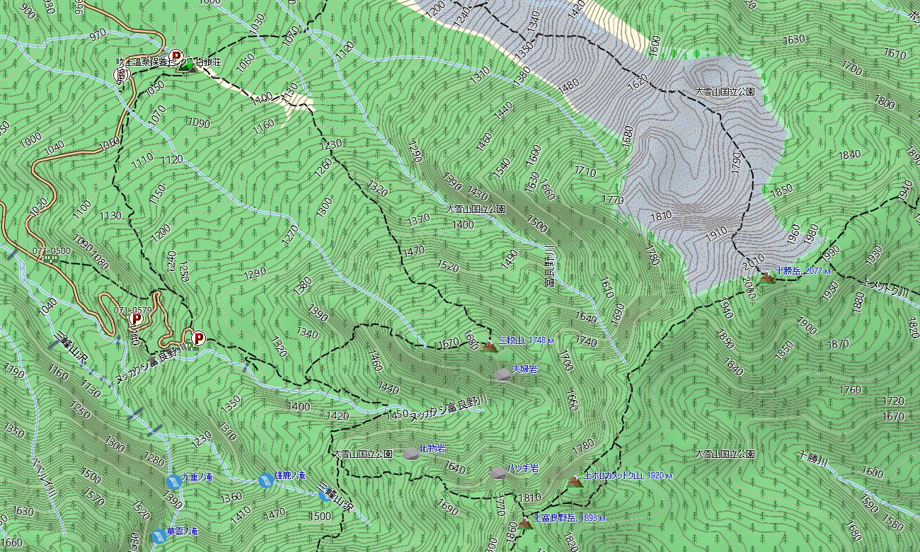
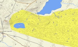
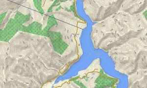
As an OSM topo map, it fuses contour lines, streams, ridges, forest edges, walking paths, cycleways, and dense street grids. Open street maps Garmin layers provide detailed urban mapping, including narrow alleys, service roads, and complex junctions, while OSM topographic maps show steep slopes and volcanic chains.
Routing-capable maps for Garmin navigator devices calculate efficient paths on expressways, local roads, and city streets. The same Garmin GPS map can guide long-distance drives, rental-car trips, and local deliveries.
On compatible wearables, it can be installed as a map for Garmin watch for hiking, trail running, and cycling. Users follow OSM topo map tracks from the wrist, checking contour lines and landmarks as they go.
Layered cartography merges transport, hydrology, relief, and settlements into one Garmin map, making topographic maps for Garmin highly effective for trip planning and safety. Regularly updated Garmin maps incorporate new roads, tunnels, and points of interest across the archipelago.
Key Features:
- Topographic maps for Garmin covering Japan with expressways, national highways, local streets, hiking trails, cycle routes, forest roads, rivers, and elevation contours
- Natural features such as mountain ranges, volcanoes, coastal cliffs, river valleys, forests, and lakes are displayed on the OSM topographic maps
- OSM topo map information helps users understand ascent profiles and terrain challenges for outdoor activities
- Open street maps Garmin data delivers dense city detail, including small lanes, railway stations, ports, and commercial areas
- Routing on maps for Garmin navigator units supports cross-country road trips, commuting, and logistics with offline turn-by-turn guidance
- Outdoor maps Garmin packages allow users to download Garmin map segments focused on specific regions or islands
- Garmin OSM maps operate on handheld GPS receivers and can work as a map for Garmin watch on supported devices
- The Garmin map, built on an OSM map tourist Garmin base, turns the Garmin GPS map into a comprehensive tool for tourism, sports, and fieldwork throughout Japan
- The map is presented in two versions: with labels in latin characters and with labels in local language
Only logged in customers who have purchased this product may leave a review.
Reviews
There are no reviews yet.