

Kazakhstan Garmin topographic map
$32
Kazakhstan topo map for Garmin
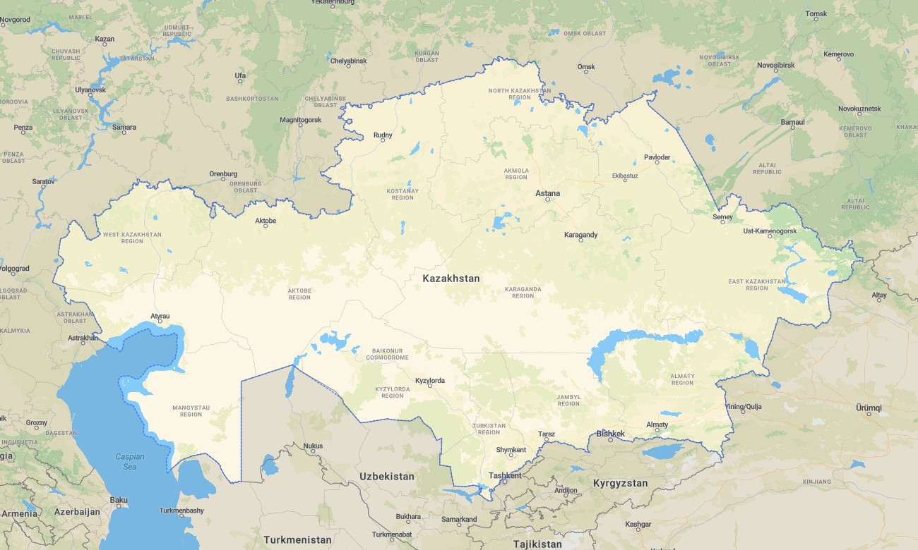
Cross the steppes, deserts, and high Tian Shan of Kazakhstan with a dedicated topographic Garmin map engineered for vast-distance travel. This detailed Garmin GPS map covers Almaty, Astana, Caspian shores, industrial corridors, and remote border regions, extending standard Garmin maps with rich relief and track information. Built on OSM topographic maps, it supports everything from overlanding to alpine trekking.
Developed as an OSM map tourist Garmin solution, it is ideal for self-drive expeditions, heritage routes along the Silk Road, and ski touring approaches. These outdoor maps Garmin explorers rely on work entirely offline, so your Garmin map keeps guiding you across empty steppe highways and mountain passes without network coverage.
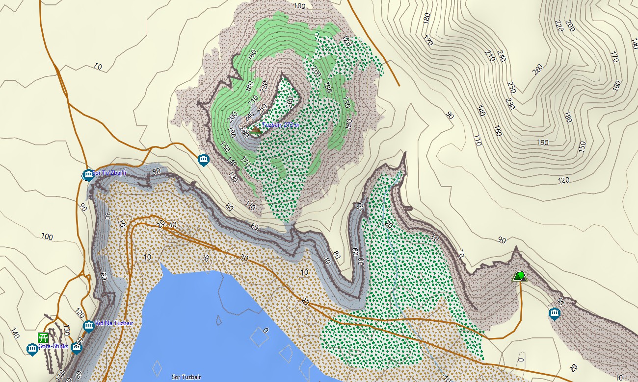
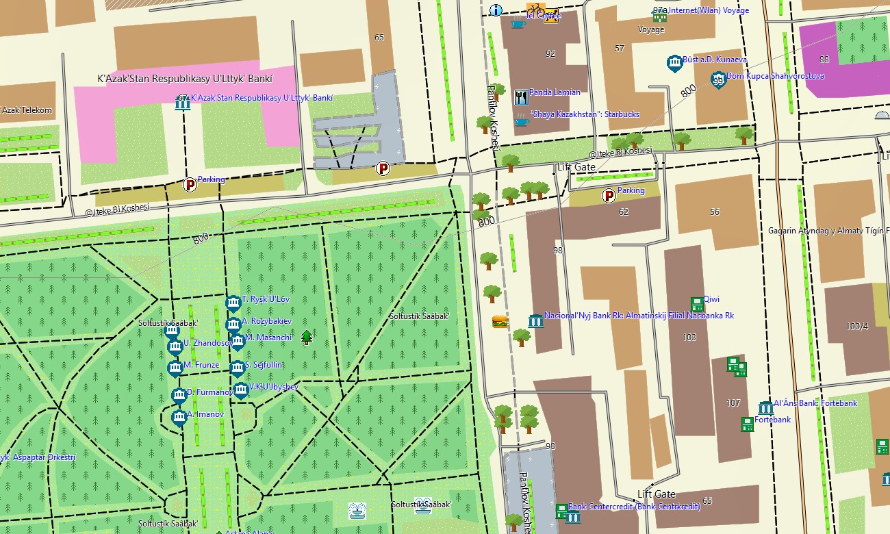
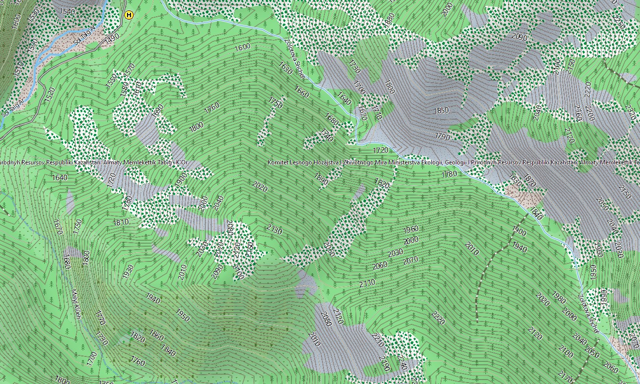
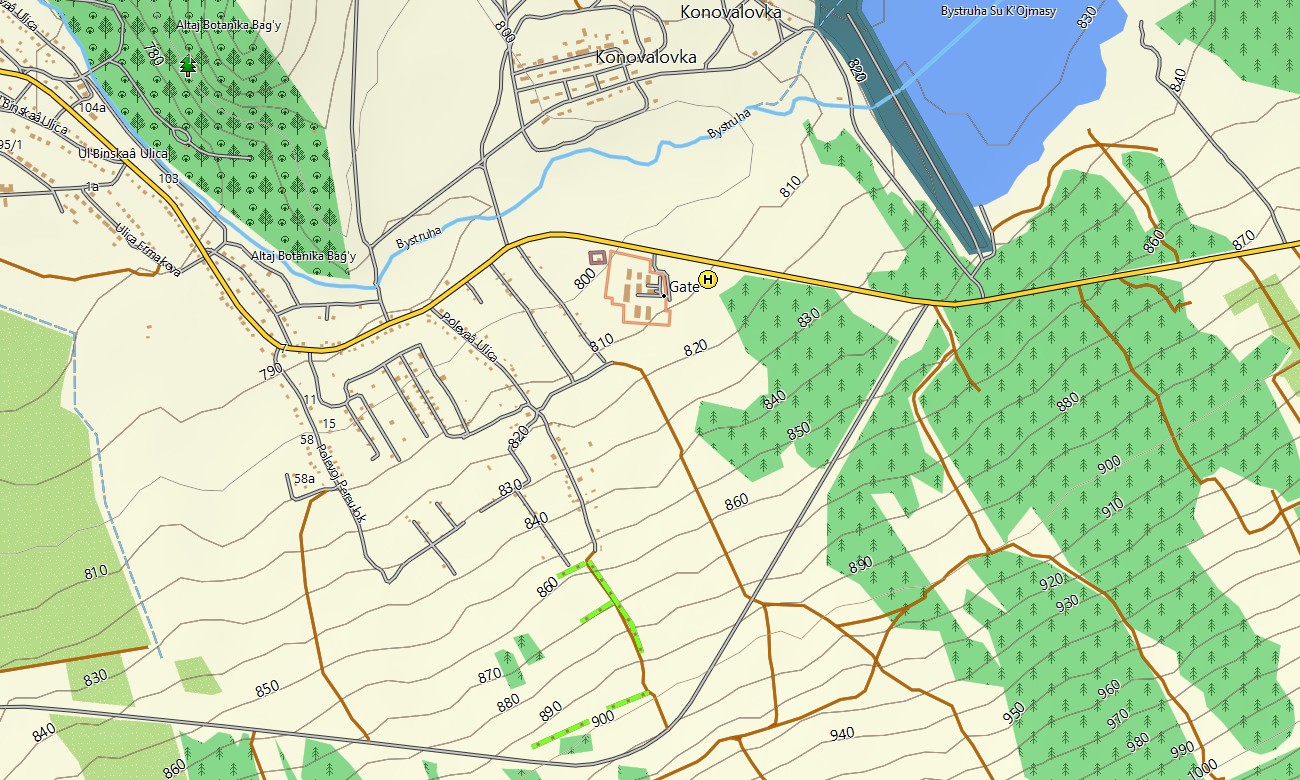
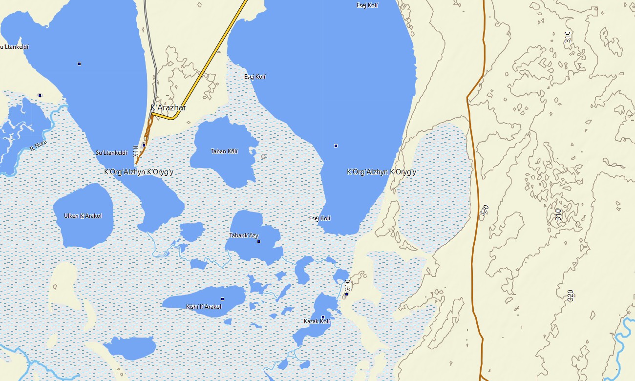
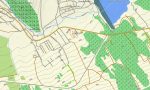
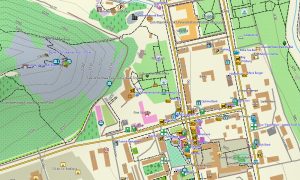
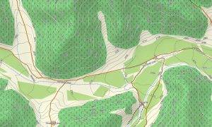
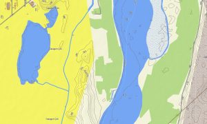
Functioning as a full OSM topo map, it blends contour lines, river systems, canyons, 4×4 tracks, railway lines, and settlement streets. Open street maps Garmin layers contribute dense urban detail for major cities and mining towns, while OSM topographic maps highlight escarpments, plateaus, and valleys important for route choice. Routing-capable maps for Garmin navigator devices calculate long-distance journeys between cities, oil hubs, and remote villages. Using one unified Garmin GPS map, drivers and logistics teams can plan efficient transcontinental routes with reliable offline instructions.
The same Garmin OSM maps can be loaded as a map for Garmin watch on compatible outdoor and multisport models. Trail runners, climbers, and ski tourers can view OSM topo map contours and key landmarks directly on the wrist while moving. Layered cartography integrates roads, tracks, hydrology, relief, and land cover cues into a single Garmin map. This makes topographic maps for Garmin extremely valuable for planning pipeline inspections, field surveys, eco-tours, and backcountry trips. Delivered as downloadable Garmin maps, the package is supplied via an instant download Garmin map link after purchase. Regular refreshes keep new roads, industrial areas, and tourist points synchronized across your Garmin maps collection.
Key Features:
- Topographic maps for Garmin covering Kazakhstan with highways, regional roads, steppe tracks, mountain paths, railway service roads, rivers, lakes, and elevation contours
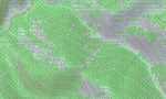
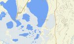
- Natural features such as open steppe, semi-desert, mountain ranges, canyons, high plateaus, and Caspian lowlands are clearly depicted on the OSM topographic maps
- OSM topo map data helps users assess gradients, passes, and valley access for overlanding, trekking, and ski touring
- Open street maps Garmin layers deliver detailed city grids, industrial zones, and infrastructure in major urban centers and regional towns
- Routing on maps for Garmin navigator units supports intercity transport, cross-border routes, and expedition logistics with offline guidance
- Outdoor maps Garmin users can download Garmin map subsets focused on particular regions such as Almaty, East Kazakhstan, or Mangystau
- Garmin OSM maps are compatible with handheld GPS receivers and can be installed as a map for Garmin watch on selected devices
- The Garmin map, built on an OSM map tourist Garmin foundation, turns the Garmin GPS map into a flexible navigation tool for explorers, drivers, and field professionals
Only logged in customers who have purchased this product may leave a review.

Reviews
There are no reviews yet.