
Louisiana Garmin topographic map
$25
Louisiana topo map for Garmin
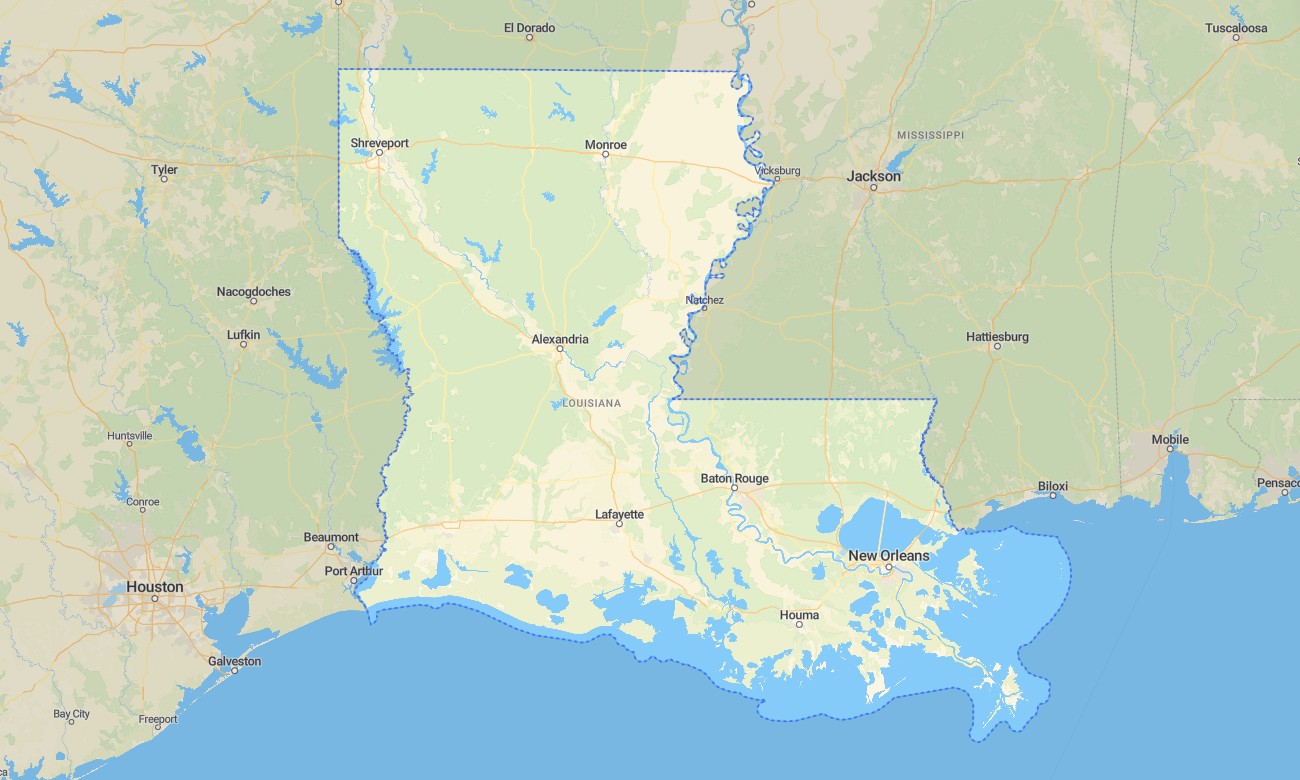
Explore Louisiana’s bayous, delta wetlands, pine forests, coastal marshes, river levees, historic cities, and Gulf Coast communities with Garmin maps prepared for travel across water-shaped terrain. This Garmin GPS map covers New Orleans, Baton Rouge, Lafayette, Shreveport, Lake Charles, Alexandria, the Mississippi River corridor, Atchafalaya Basin, barrier coast, and rural parishes.
Built as a practical OSM map tourist Garmin resource, it supports road trips, fishing access, swamp tours, cycling, cultural routes, wildlife viewing, and navigation around levee roads. These outdoor maps Garmin travelers depend on operate offline, giving the Garmin map strong value in marshlands, rural areas, and coastal corridors where service may be inconsistent.
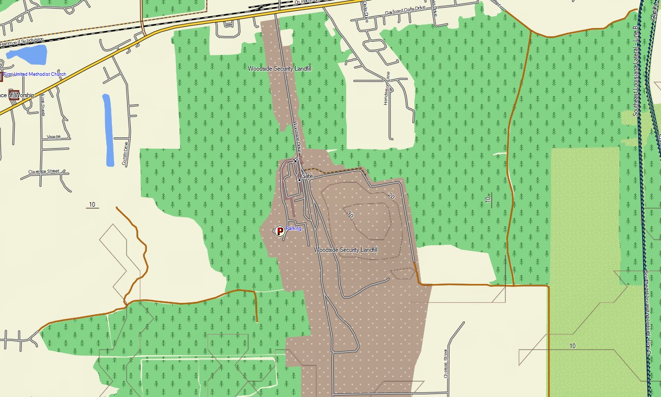
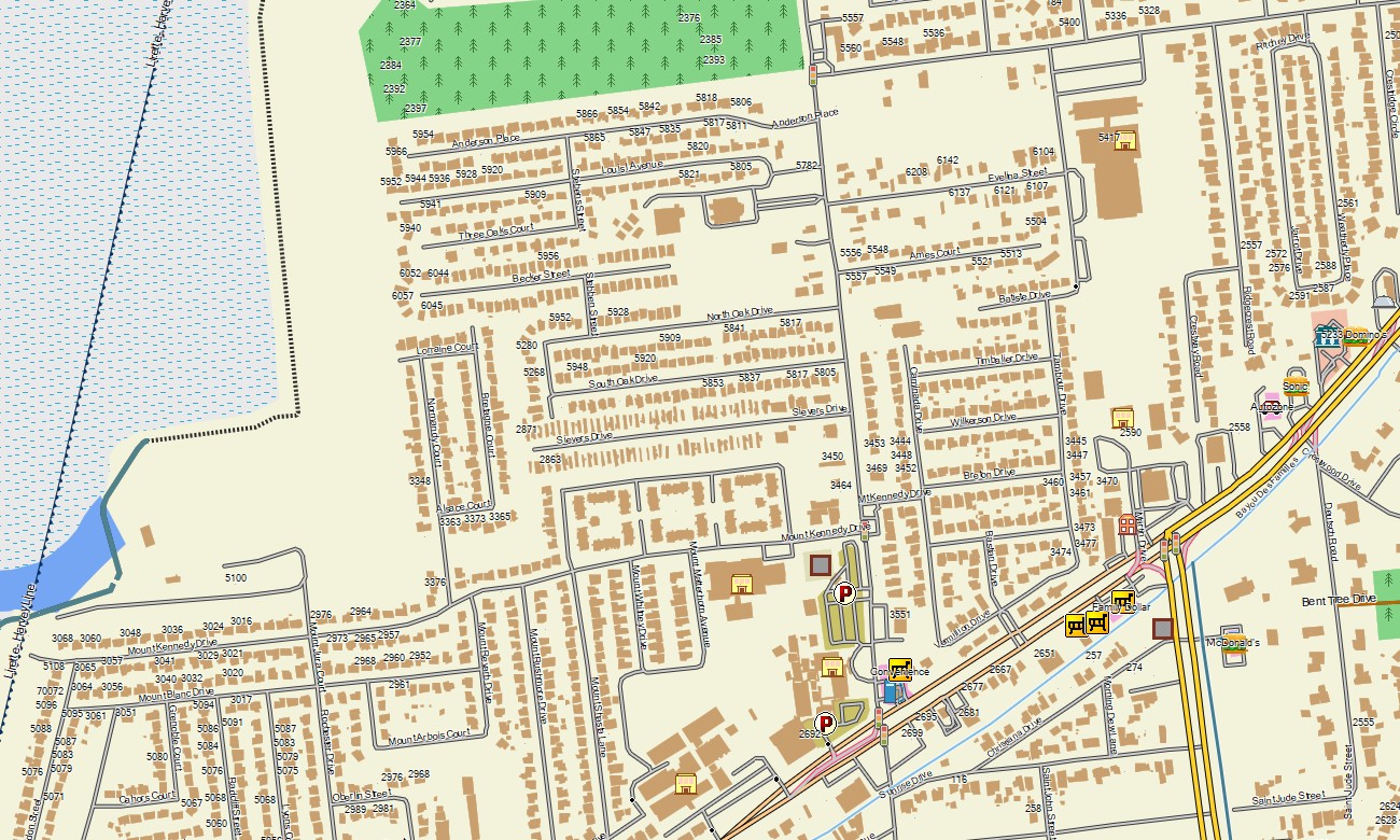
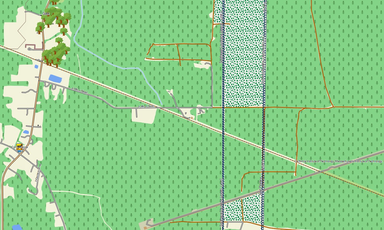
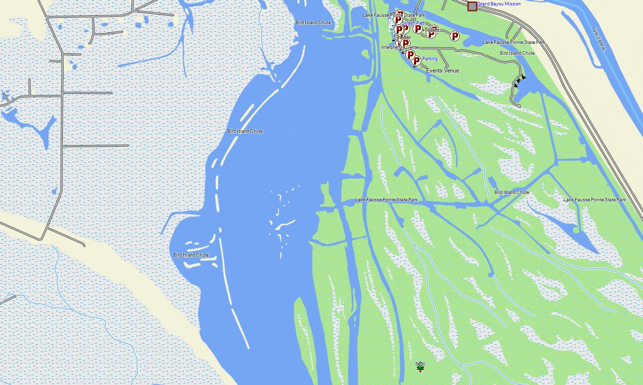
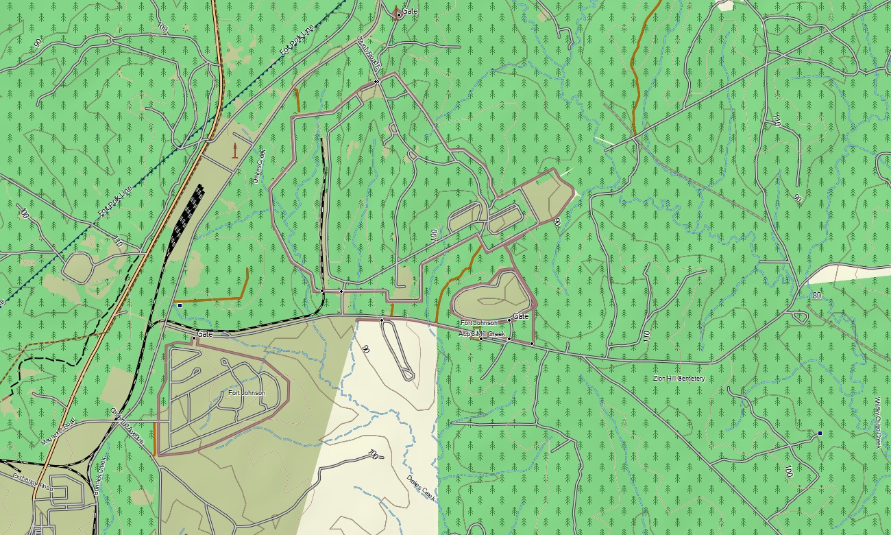
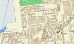
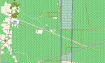
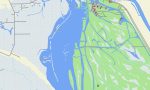
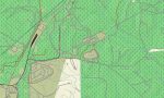
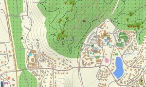
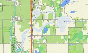
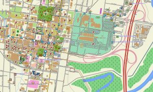
This Garmin GPS map functions as an OSM topo map with highways, parish roads, city streets, levee routes, boat-access roads, trails, canals, rivers, lakes, bayous, wetlands, coastlines, and elevation contours. Created from open street maps Garmin compatible data, these OSM topographic maps are especially useful for understanding Louisiana’s low-relief landscape and complex waterways.
Maps for Garmin navigator devices support routing through urban grids, plantation corridors, Cajun Country roads, and interstate connections. Whether driving through New Orleans, crossing the Atchafalaya Basin, or navigating routes toward coastal wildlife areas, this Garmin map offers dependable offline guidance.
The map integrates road networks, settlement detail, wetland layers, hydrology, coastal features, recreation points, and topographic context. After purchase, use the download Garmin map link for installation. Garmin OSM maps are suitable for handheld GPS devices, automotive receivers, outdoor units, and selected models that accept a map for Garmin watch.
Key Features:
- Topographic maps for Garmin covering Louisiana with roads, levee routes, trails, rivers, bayous, lakes, wetlands, and elevation contours
- Natural features such as delta marshes, cypress swamps, pine forests, barrier coast, river floodplains, and coastal bays
- Road coverage including interstates, US highways, state roads, parish roads, urban streets, and rural connectors
- Points of interest: historic districts, plantations, fishing areas, boat ramps, wildlife refuges, viewpoints, parks, monuments
- Routing support for driving and regional travel on compatible Garmin devices
- Works with handheld GPS units, automotive navigators, and selected Garmin watch models
Only logged in customers who have purchased this product may leave a review.
Reviews
There are no reviews yet.