
Minnesota Garmin topographic map
$25
Minnesota topo map for Garmin
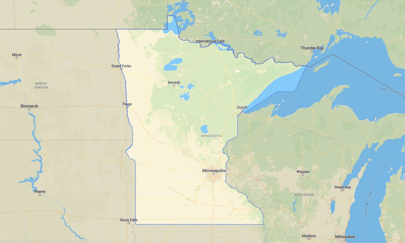
Explore Minnesota’s lake country, northern forests, prairie edges, river valleys, urban corridors, and Lake Superior shoreline with detailed Garmin maps built for outdoor travel and regional navigation. This Garmin GPS map covers Minneapolis, Saint Paul, Duluth, Rochester, Mankato, Brainerd, the Boundary Waters region, North Shore routes, Mississippi headwaters, and rural county roads.
Designed as a practical OSM map tourist Garmin product, it supports canoe access, hiking, fishing, camping, cycling, snow-season route awareness where mapped, and long scenic drives. These outdoor maps Garmin users rely on operate offline, making the Garmin map useful across forest roads, lake districts, remote trailheads, and northern communities.
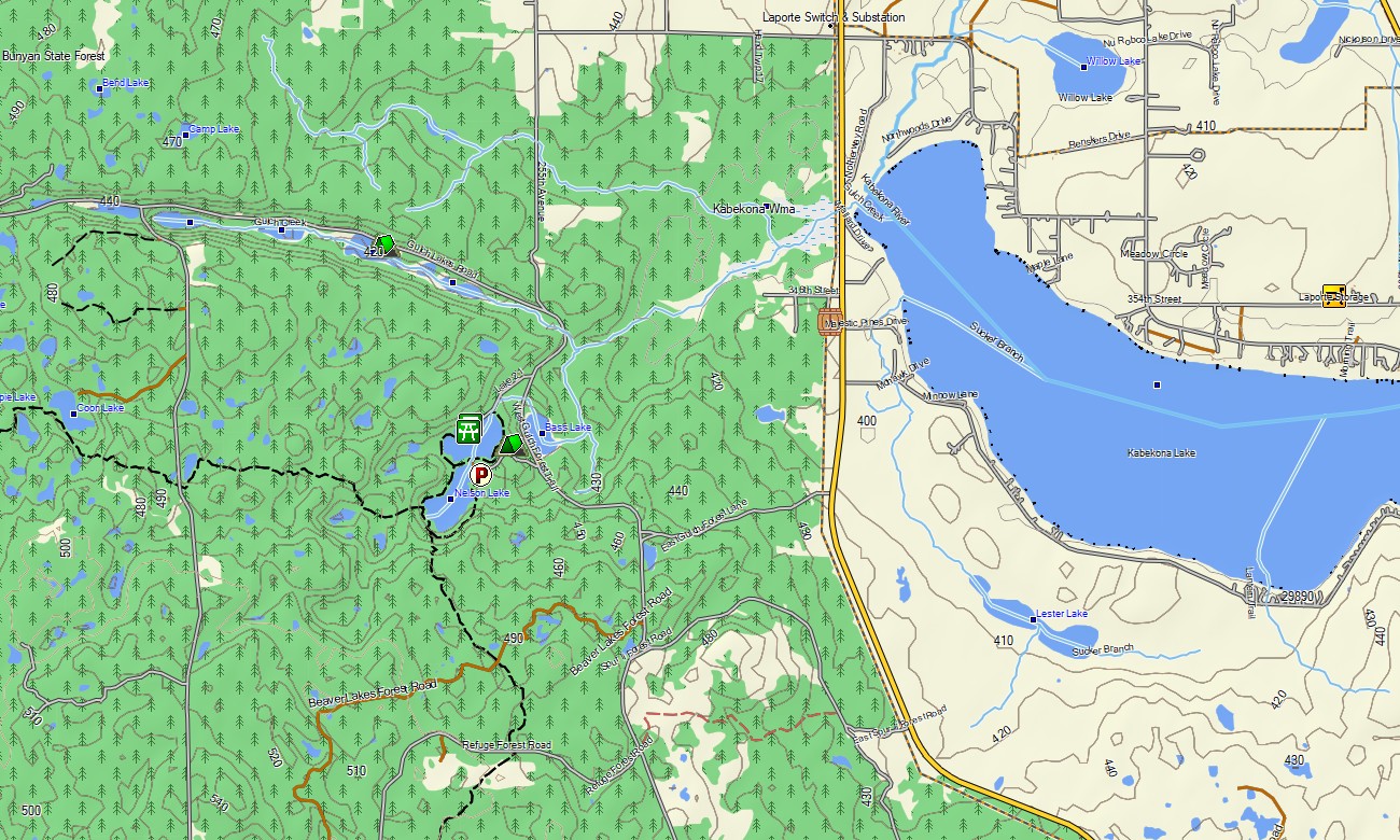
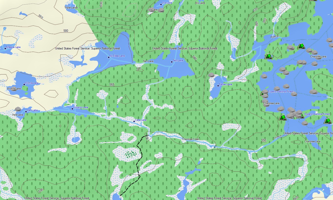
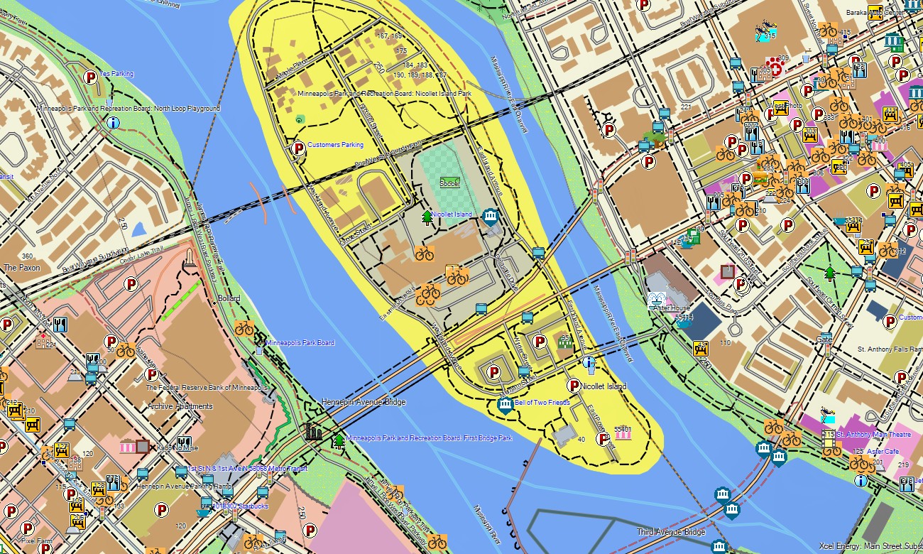
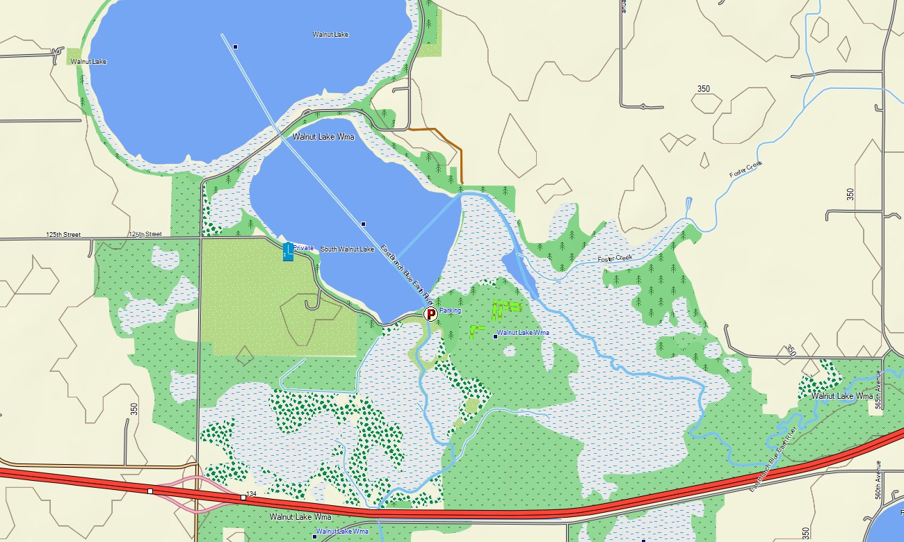
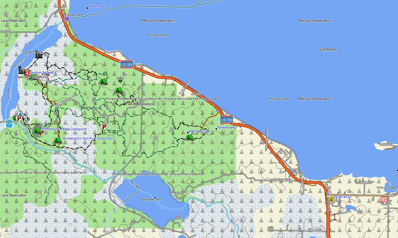
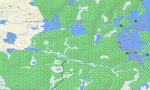
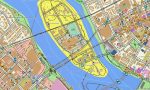
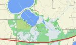
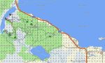
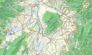
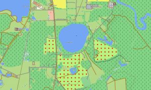
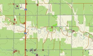
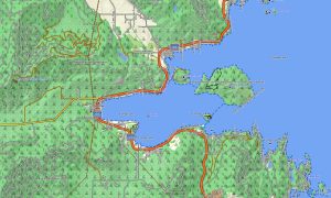
This Garmin GPS map functions as an OSM topo map, showing interstates, state highways, county roads, forest routes, trails, rivers, lakes, wetlands, portage references where mapped, shorelines, ridges, and elevation contours. Created from open street maps Garmin compatible data, these OSM topographic maps help travelers understand a landscape shaped by glaciation, water systems, and wooded highlands.
Maps for Garmin navigator devices assist with routing around the Twin Cities, I-35, US-53, North Shore drives, park roads, and small-town networks. Whether navigating Duluth’s hills, driving toward Voyageurs country, or locating access points near lake chains, this Garmin map offers dependable offline orientation.
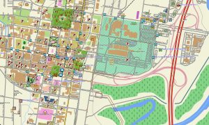
The map combines road networks, urban street plans, hydrology, lake outlines, recreation paths, terrain elevation contours, settlement data, and natural landmarks. After purchase, use the download Garmin map link for installation on compatible devices. Garmin OSM maps are suitable for handheld GPS units, automotive receivers, outdoor devices, and selected models using a map for Garmin watch.
Key Features:
- Topographic maps for Garmin covering Minnesota with roads, forest tracks, trails, rivers, lakes, wetlands, and elevation contours
- Natural features such as boreal forests, prairie margins, Lake Superior shore, glacial lakes, wetlands, river valleys, and bluffs
- Road coverage including interstates, state highways, county roads, city streets, forest roads, and rural access routes
- Points of interest: canoe landings, campgrounds, trailheads, harbors, viewpoints, historic sites, parks, monuments
- Routing support for driving and regional travel on compatible Garmin devices
- Compatible with handheld GPS units, automotive navigators, and selected Garmin watch models
Only logged in customers who have purchased this product may leave a review.
Reviews
There are no reviews yet.