

New York Garmin topographic map
$25
New York topo map for Garmin
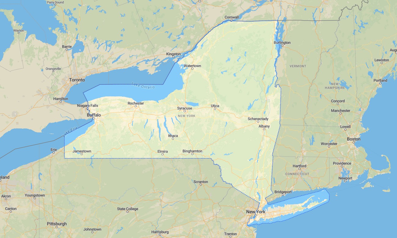
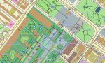
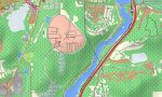
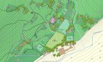
Navigate New York from Manhattan’s dense street grid to Adirondack wilderness, Catskill ridges, Finger Lakes, Hudson Valley towns, Great Lakes shores, and Atlantic beaches with detailed Garmin maps for diverse travel. This Garmin GPS map covers New York City, Buffalo, Rochester, Albany, Syracuse, Long Island, the Adirondacks, and major recreation regions.
Built as a versatile OSM map tourist Garmin resource, it supports city navigation, hiking, cycling, road touring, lake access, cultural trips, and mountain exploration. These outdoor maps Garmin users rely on operate offline, making the Garmin map useful in urban corridors, wooded parks, island communities, and northern backcountry areas.
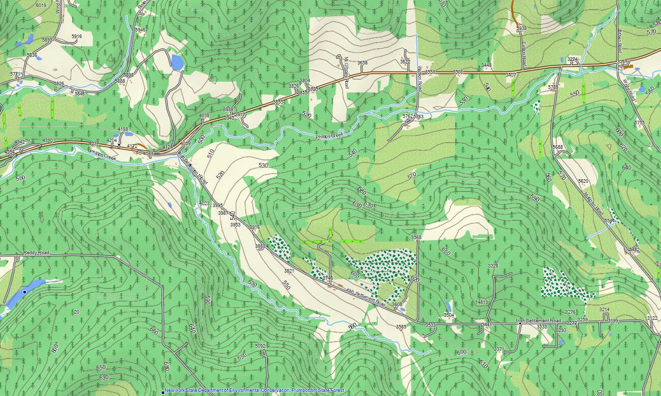
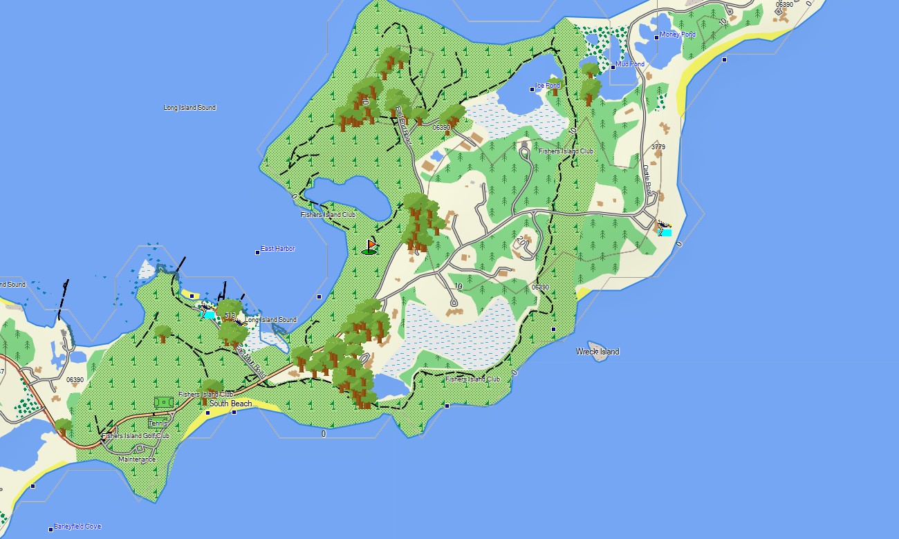
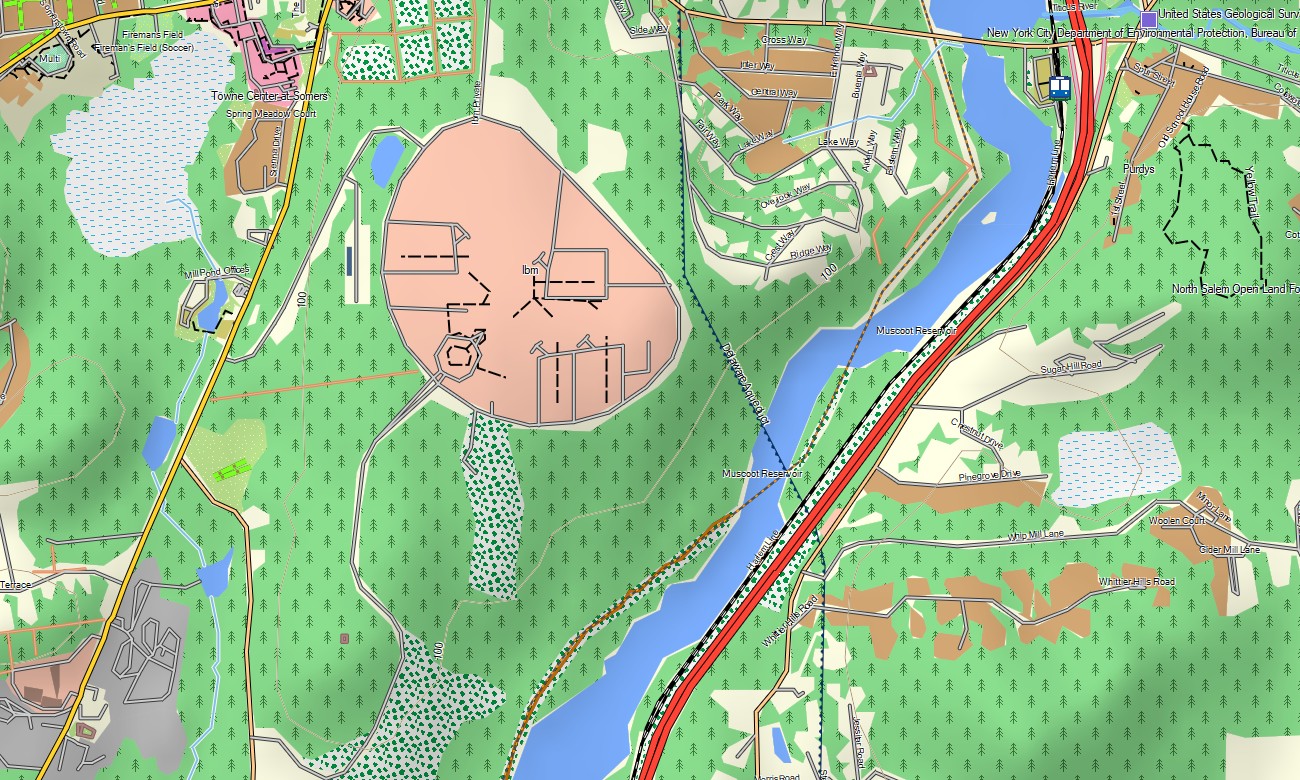
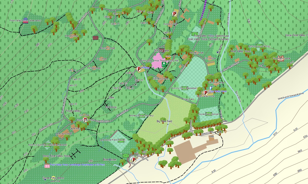
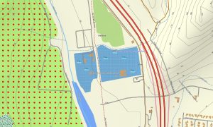
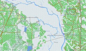
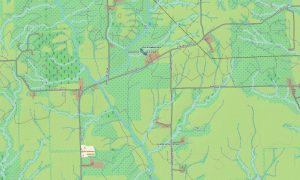
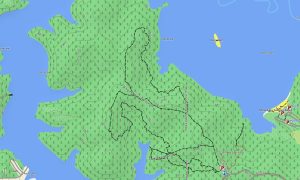
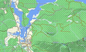
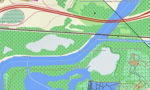
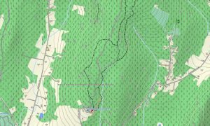
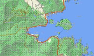
This Garmin GPS map functions as an OSM topo map with local streets, park roads, rural lanes, hiking trails, rivers, canals, lakes, reservoirs, coastlines, islands, ridges, valleys, and elevation contours. Based on open street maps Garmin compatible data, these OSM topographic maps provide terrain context from sea-level harbors to high Adirondack summits.
Maps for Garmin navigator devices assist with routing through metropolitan neighborhoods, upstate towns, lake districts, and park approaches where compatible. Whether moving across Brooklyn, driving through the Hudson Valley, visiting Niagara Falls, or hiking near Lake Placid, this Garmin map delivers consistent offline direction.
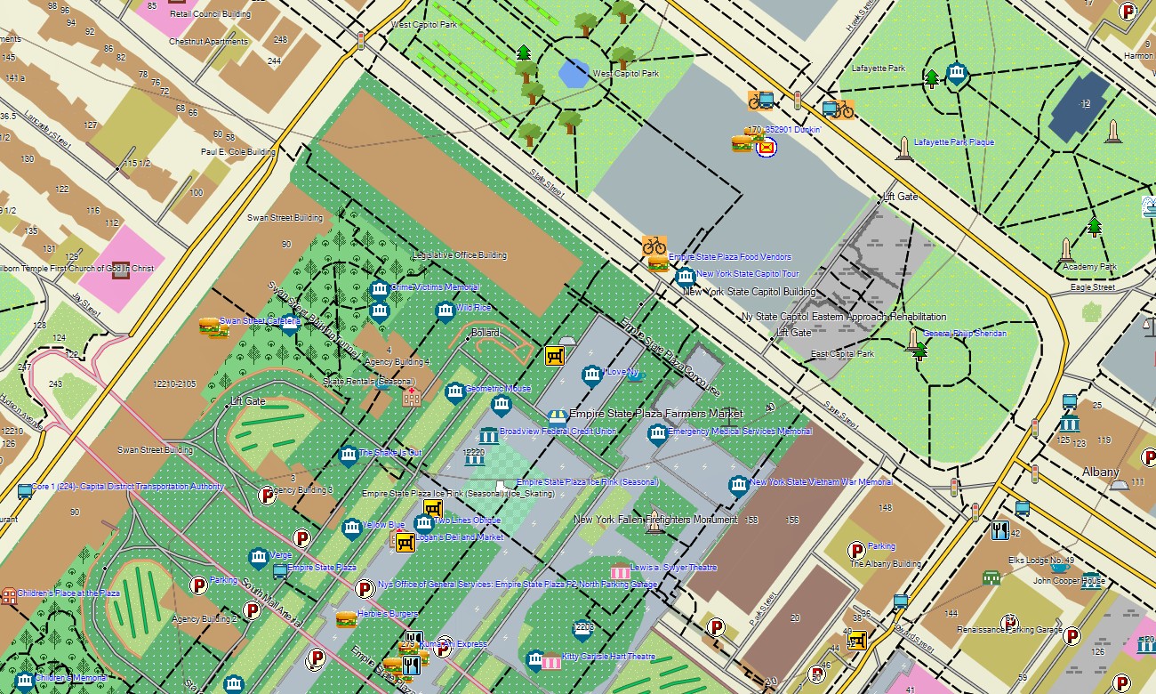
The product integrates detailed urban street plans, regional road coverage, water layers, shoreline detail, recreation paths, elevation data, and cultural points of interest. After purchase, use the download Garmin map link for setup on supported devices. Garmin OSM maps are practical for handheld GPS units, automotive receivers, outdoor devices, and selected units that use a map for Garmin watch.
Key Features:
- Topographic maps for Garmin covering New York with roads, streets, trails, rivers, lakes, canals, coastlines, and elevation contours
- Natural features such as Adirondack peaks, Catskill ridges, Finger Lakes, Hudson Valley, beaches, islands, and forests
- Road coverage including city streets, park roads, rural lanes, state routes, suburban networks, and recreation access roads
- Points of interest: museums, harbors, waterfalls, trailheads, historic districts, viewpoints, campgrounds, monuments
- Routing support for city, regional, and outdoor travel on compatible Garmin devices
- Works with handheld GPS units, automotive navigators, and selected Garmin watch models
Only logged in customers who have purchased this product may leave a review.
Reviews
There are no reviews yet.