
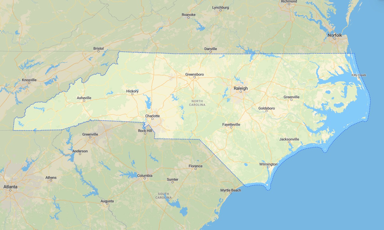
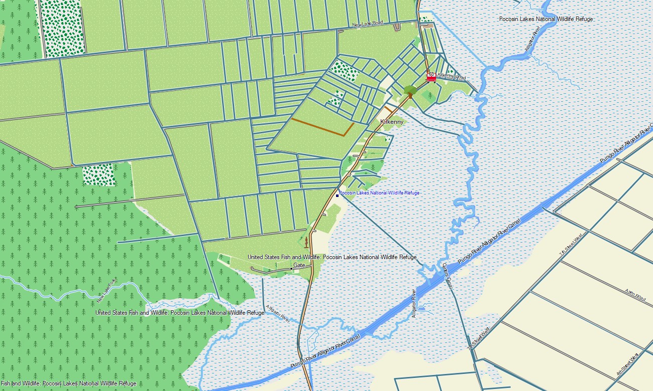
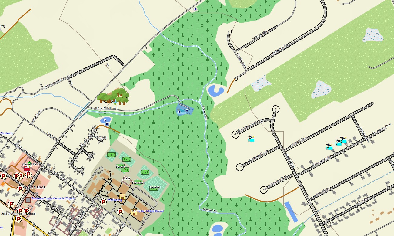
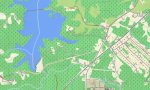
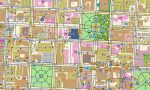
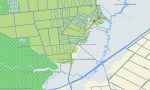
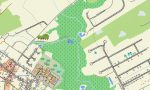
North Carolina Garmin topographic map
$25
North Carolina topo map for Garmin
Explore North Carolina’s Blue Ridge Mountains, Piedmont cities, coastal plains, barrier islands, river valleys, forests, and Atlantic beaches with detailed Garmin maps prepared for travel and outdoor recreation. This Garmin GPS map covers Charlotte, Raleigh, Asheville, Greensboro, Wilmington, the Outer Banks, Great Smoky Mountains approaches, and major state recreation areas.
Created as an OSM map tourist Garmin solution, it supports mountain hiking, coastal road trips, camping, cycling, fishing access, cultural travel, and urban navigation. These outdoor maps Garmin users depend on operate offline, giving the Garmin map practical value from steep Appalachian roads to low sandy islands and marshland routes.
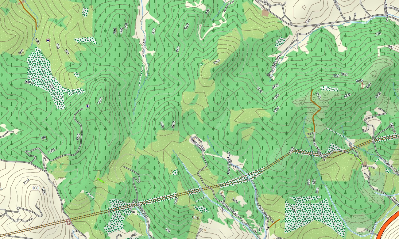
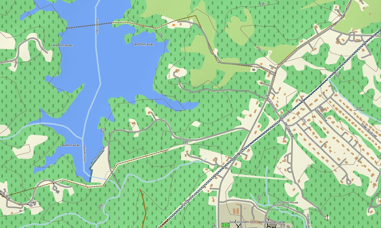
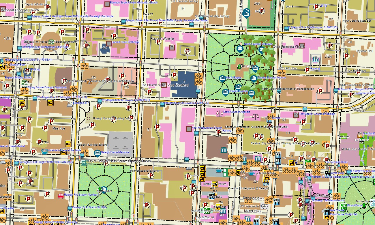
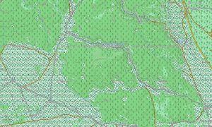
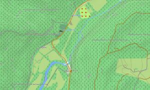
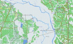
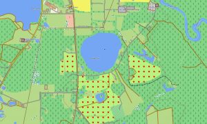
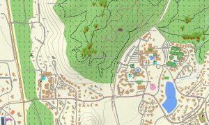
This Garmin GPS map serves as an OSM topo map, showing city streets, rural roads, mountain routes, forest tracks, trails, rivers, lakes, wetlands, beaches, islands, ridges, valleys, and elevation contours. Built from open street maps Garmin compatible data, these OSM topographic maps help travelers understand North Carolina’s full west-to-east terrain transition.
Maps for Garmin navigator devices provide routing support through urban centers, mountain towns, beach communities, and park approaches where data allows. Whether navigating Asheville, crossing Piedmont suburbs, reaching waterfall trails, or following roads along the Outer Banks, this Garmin map provides reliable offline guidance.
The map combines road networks, detailed streets, topographic layers, coastal features, hydrology, recreation trails, and destination references. After purchase, use the download Garmin map link for installation on compatible devices. Garmin OSM maps are suitable for handheld GPS units, automotive receivers, outdoor navigation devices, and selected models using a map for Garmin watch.
Key Features:
- Topographic maps for Garmin covering North Carolina with roads, tracks, trails, rivers, lakes, wetlands, beaches, and elevation contours
- Natural features such as Blue Ridge peaks, Piedmont hills, waterfalls, forests, coastal plains, marshes, and barrier islands
- Road coverage including city streets, mountain roads, state routes, county roads, coastal access routes, and rural tracks
- Points of interest: lighthouses, historic districts, trailheads, waterfalls, campgrounds, viewpoints, harbors, monuments
- Routing support for driving and regional navigation on compatible Garmin devices
- Compatible with handheld GPS units, automotive navigators, and selected Garmin watch models
Only logged in customers who have purchased this product may leave a review.
Reviews
There are no reviews yet.