
Reunion Garmin topographic map
$22
Reunion topo map for Garmin
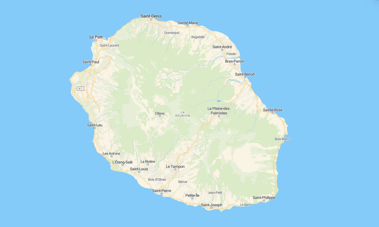
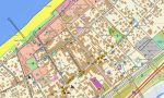
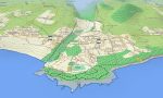
Discover the volcanic island of Reunion with this detailed topographic Garmin map, crafted for navigation across its picturesque places and peaks. This comprehensive Garmin map covers the entire French overseas department, from the coastal towns and beaches through the three great places and the Piton de la Fournaise volcano to the remote interior, providing reliable guidance for hikers and drivers.
Perfect for epic hiking tours and scenic mountain road trips, this OSM map tourist Garmin solution combines OpenStreetMap data with detailed relief for cities like Saint-Denis, the coastal highway, and countless mountain trails. These outdoor maps Garmin users trust function fully offline. Instant download with regular updates included keeps your Garmin GPS map accurate for any mountain or coastal exploration.
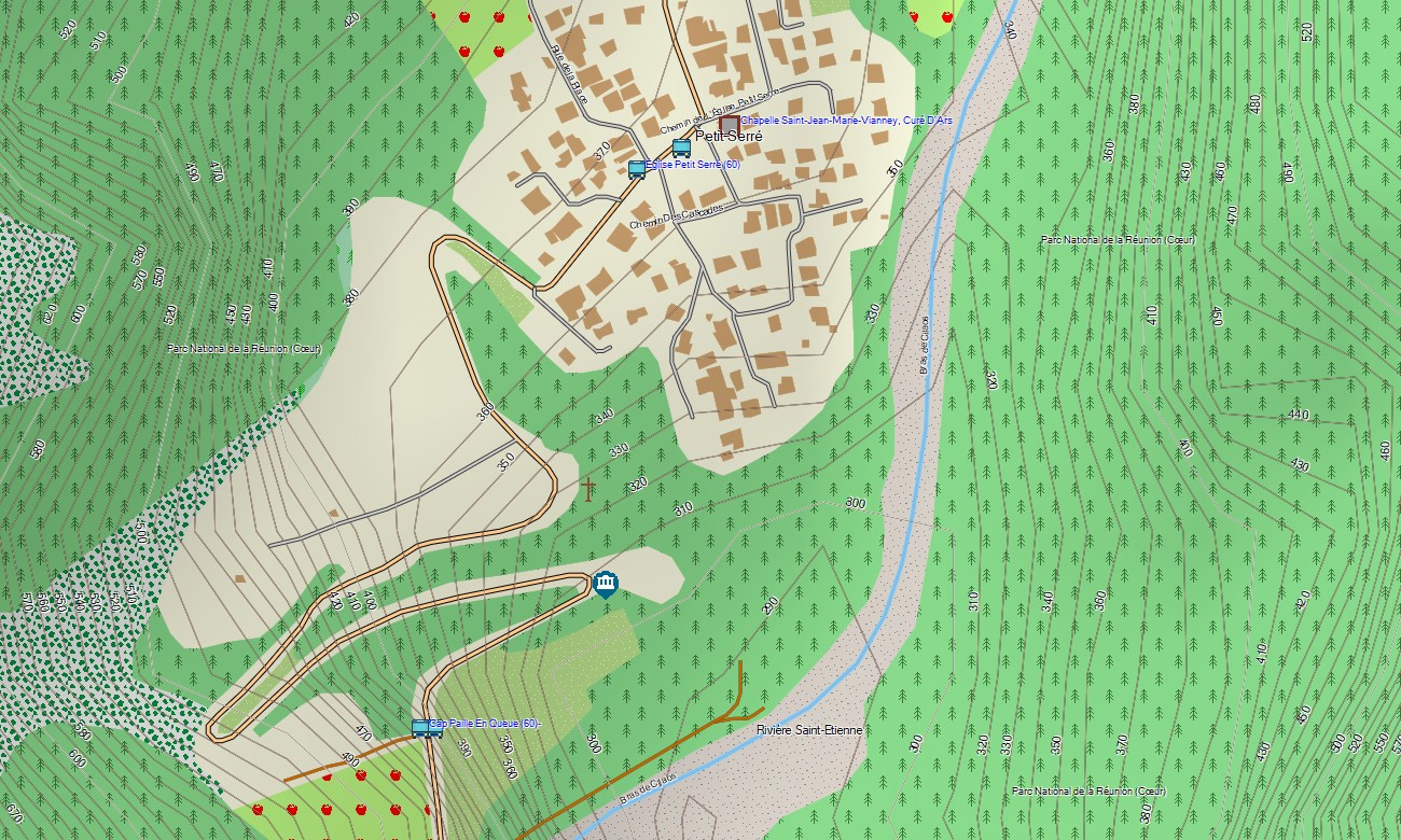
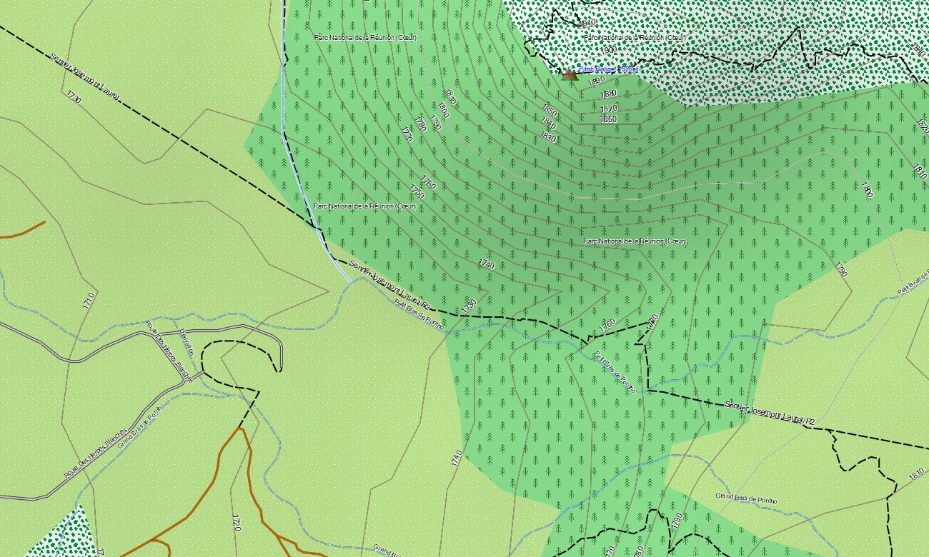
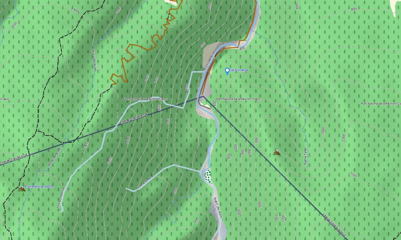
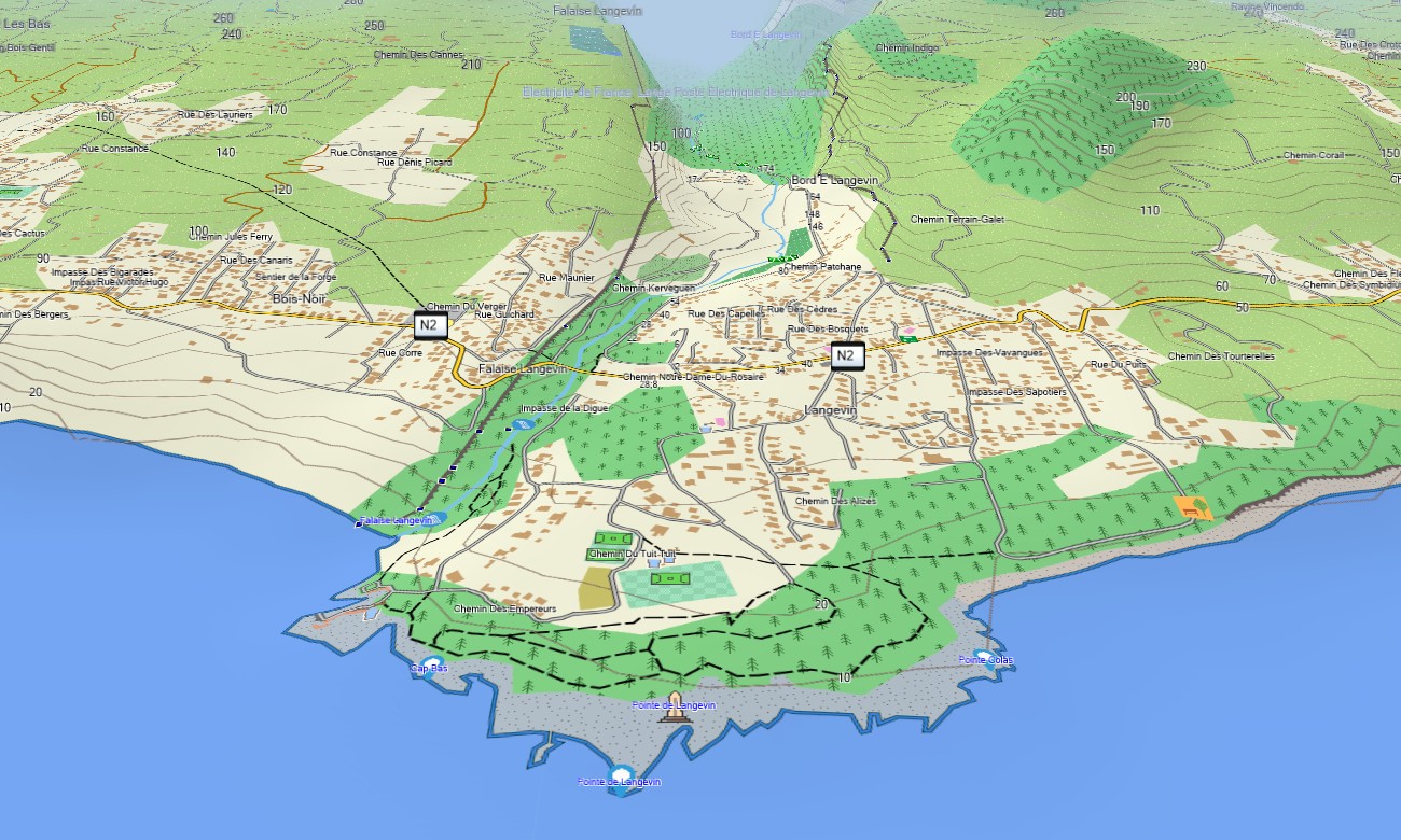
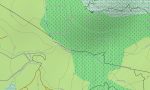
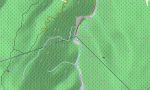
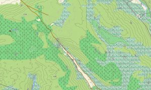
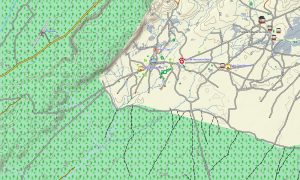
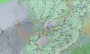
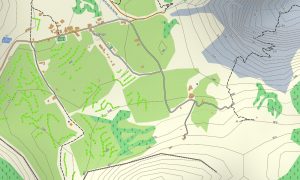
This detailed Garmin map acts as an essential OSM topo map, displaying coastal roads, mountain routes, forest tracks, hiking trails, rivers, ravines, and elevation contours. Natural features such as the cirques of Mafate, Salazie, and Cilaos, the Piton des Neiges and Piton de la Fournaise volcanoes, and the island’s steep ravines are clearly depicted. This makes these topographic maps for Garmin crucial for safe adventure in Reunion’s rugged terrain.
Featuring integrated routing, these maps for Garmin navigator devices allow for planning and turn-by-turn guidance directly on your device. Whether navigating the twisty RN2, driving the Route du Volcan, or hiking remote trails in Mafate, this Garmin map offers consistent, offline navigation.
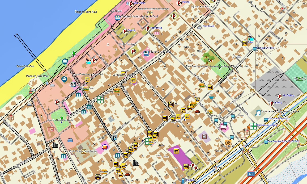
The map offers several data layers: full road coverage for coastal travel, detailed street plans for towns, and comprehensive topographic information for the mountains. You get an instant download link after purchase; installation is straightforward, and updates ensure your Garmin map for handheld or vehicle remains reliable.
Key Features:
- Topographic maps for Garmin covering Reunion with coastal roads, mountain routes, tracks, extensive hiking trails, rivers, ravines, and detailed elevation contours
- Natural features including the three cirques, active Piton de la Fournaise volcano, Piton des Neiges peak, steep ravines, forests, waterfalls, and coastline
- Complete road coverage of national and departmental routes, urban streets, and mountain passes
- Points of interest: urban infrastructure, airport, harbors, historical sites, museums, markets, churches, temples, universities, government offices, hospitals, clinics, hotels, gites, restaurants, fuel stations, bakeries, mountain refuges, water towers, viewpoints, waterfalls, volcanic sites
- Routing support for driving and hiking navigation on compatible Garmin devices
- Full compatibility with handheld GPS units, automotive navigators, and supported as a map for Garmin watch models
- The map contains contours of heights
Only logged in customers who have purchased this product may leave a review.
Reviews
There are no reviews yet.