
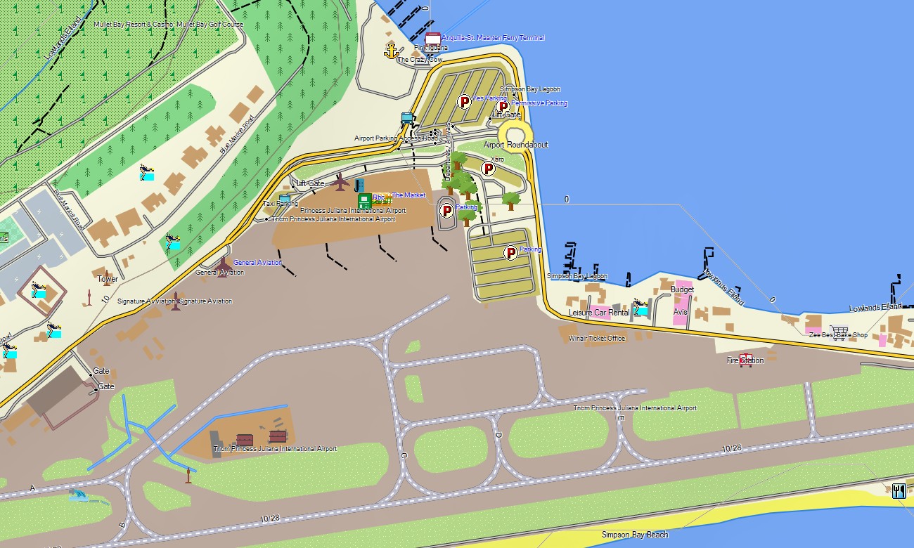
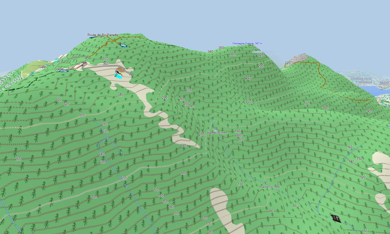
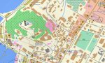


Saint Martin and Sint Maarten Garmin topographic map
$22
Saint Martin and Sint Maarten topo map for Garmin
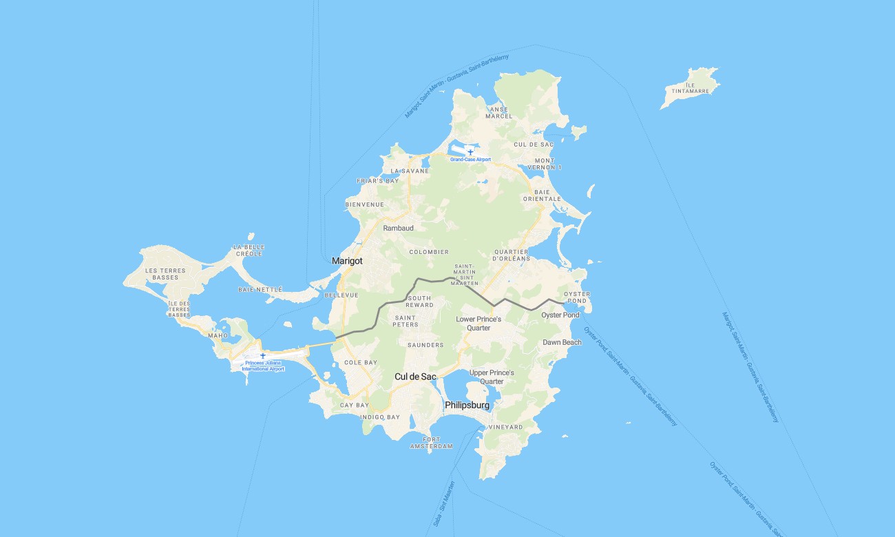
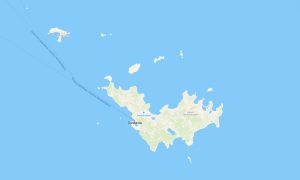
Navigate the unique dual-nation island with a detailed topographic Garmin map designed for coastal roads, hilly terrain, and vibrant towns. This versatile Garmin GPS map covers both the French Saint-Martin and Dutch Sint Maarten sides, providing reliable navigation from Marigot and Philipsburg to remote coastal tracks and scenic overlooks, perfect for travel and outdoor exploration.
Ideal for driving tours and hiking adventures, these outdoor maps Garmin users rely on are built from OpenStreetMap data with instant download with regular updates included. This OSM map tourist Garmin solution supports navigation on highways, local streets, and beach access paths, working fully offline on handheld GPS devices, car navigators, and as a map for Garmin watch.
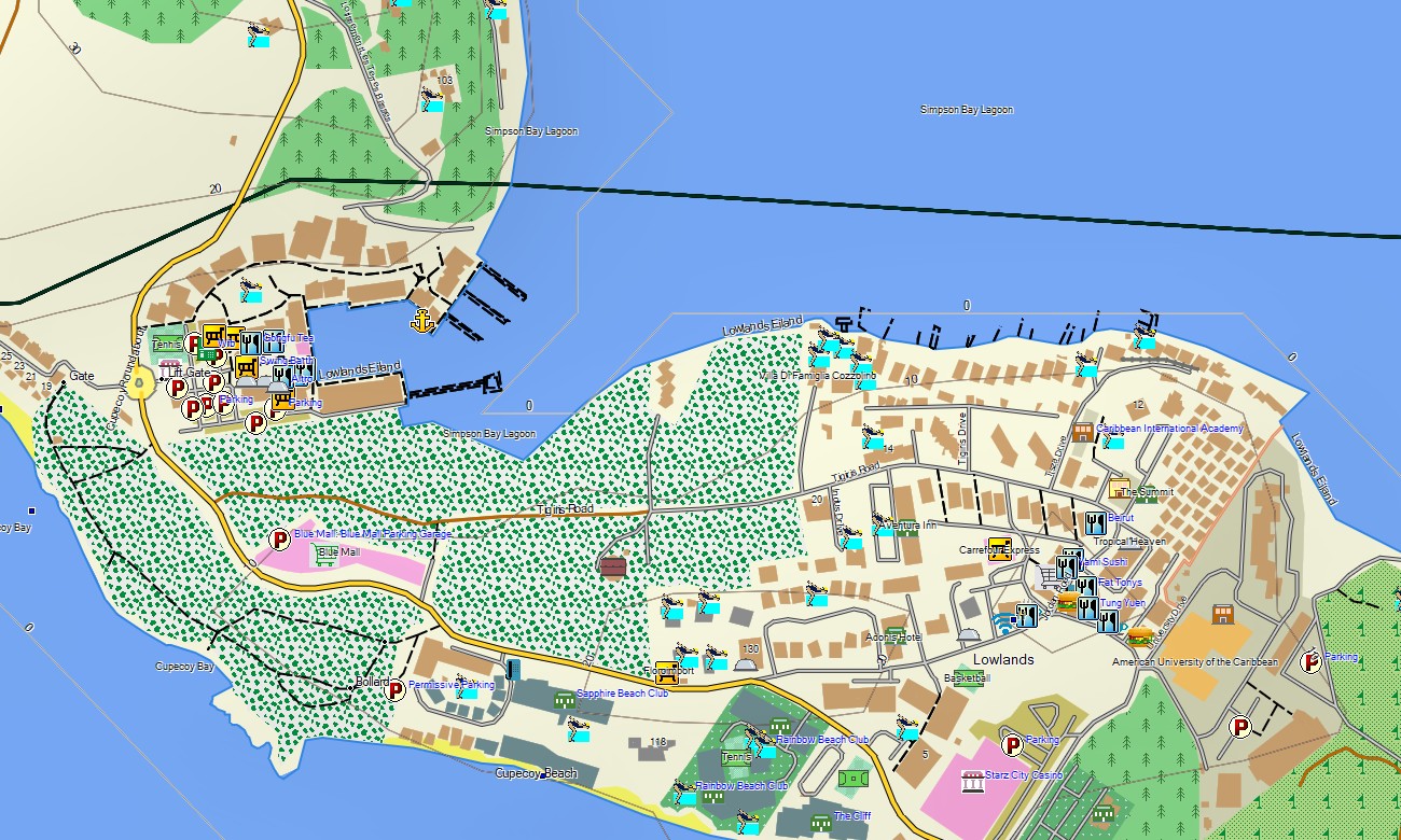
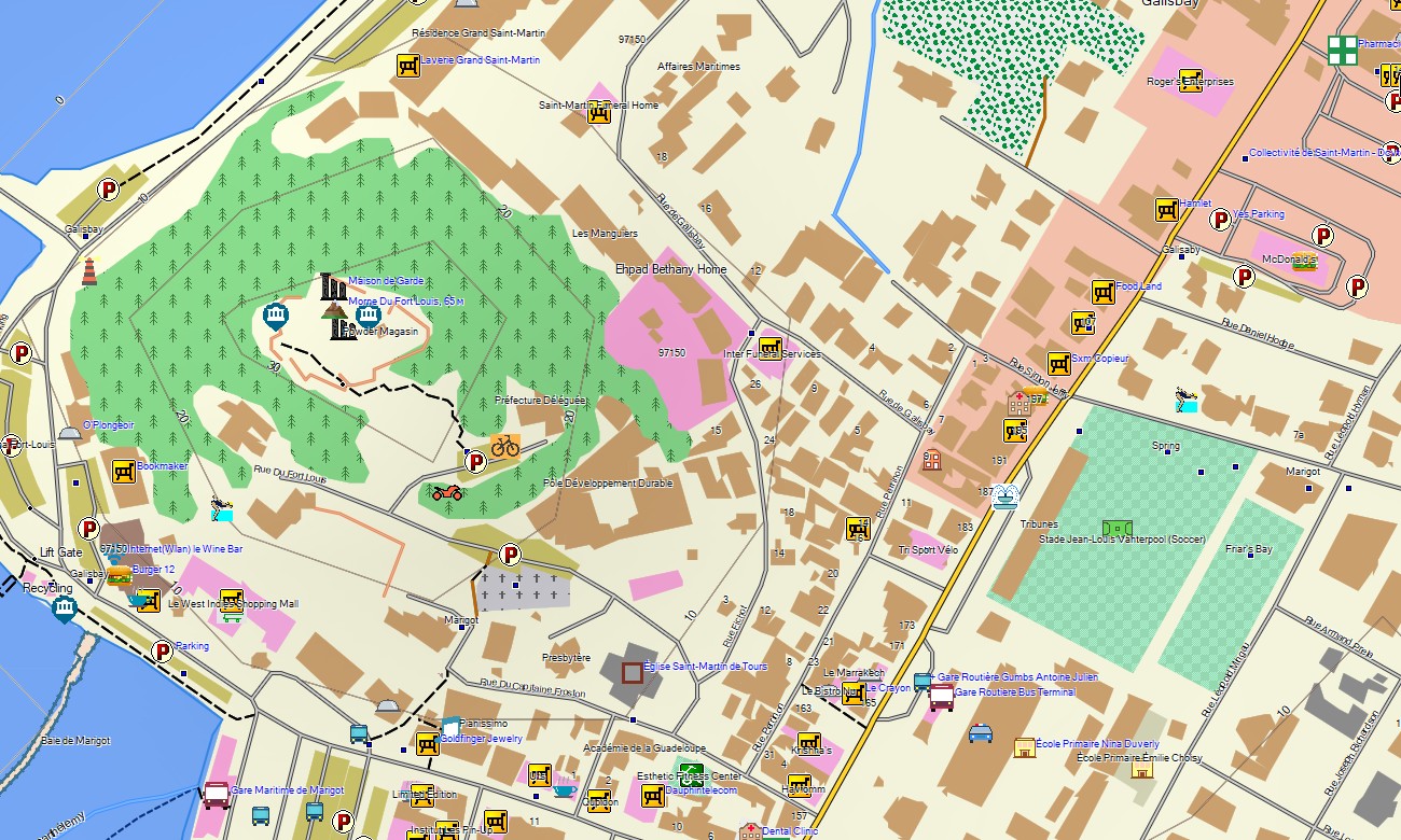
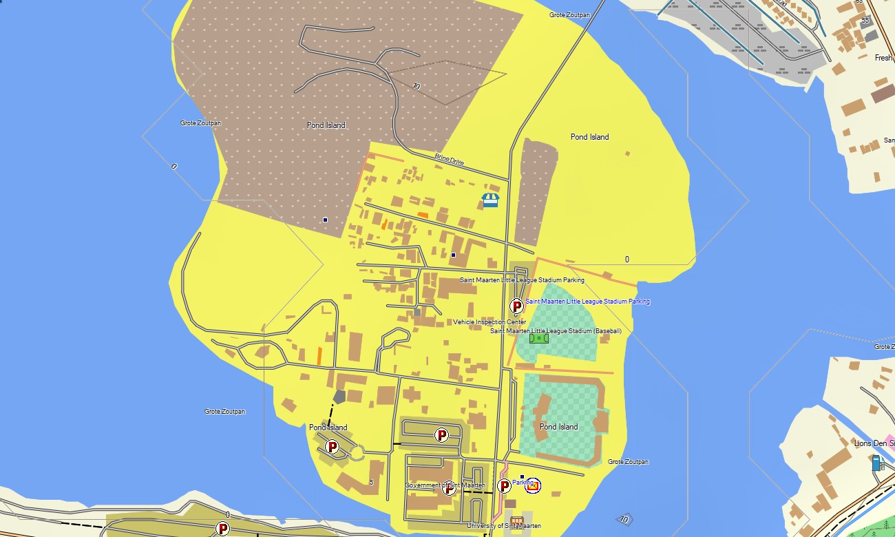
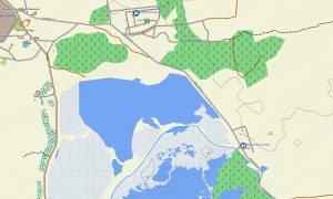
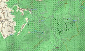
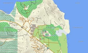
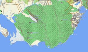
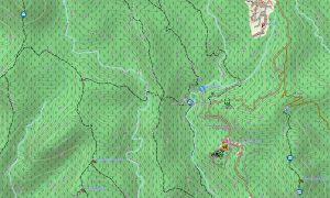
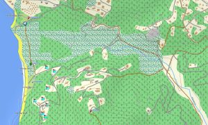
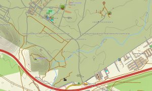
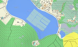
This detailed Garmin map serves as a comprehensive OSM topo map, including all roads, walking trails, rivers, lagoons, coastlines, and elevation contours. It clearly displays natural features like hills, salt ponds, bays, and coastal cliffs, making these topographic maps for Garmin essential for discovering the island’s varied landscapes.
With built-in routing, these maps for Garmin navigator devices enable turn-by-turn guidance for road trips, sightseeing tours, or hiking excursions directly on your GPS. Whether circling the island or finding a secluded beach, this Garmin GPS map provides constant offline guidance.
The product includes multiple layers: complete road networks, detailed urban coverage for towns, and topographic data for off-road areas. You get an instant download link after purchase; setup is quick, and ongoing updates ensure your Garmin map stays current and accurate.
Key Features:
- Topographic maps for Garmin covering Saint Martin / Sint Maarten with roads, trails, coastlines, lagoons, and elevation detail
- Natural features such as hills, coastal cliffs, bays, salt ponds, and beaches
- Complete road coverage including major highways, local routes, urban streets, and coastal accesses
- Routing support for driving and walking
- Points of interest: urban infrastructure, historic sites, ruins, coastal landmarks, peaks, water towers, monuments, and notable buildings
- Works completely offline – no internet connection required
- Compatibility with handheld GPS units, vehicle devices, and supported as a map for Garmin watch models
Only logged in customers who have purchased this product may leave a review.
Reviews
There are no reviews yet.