
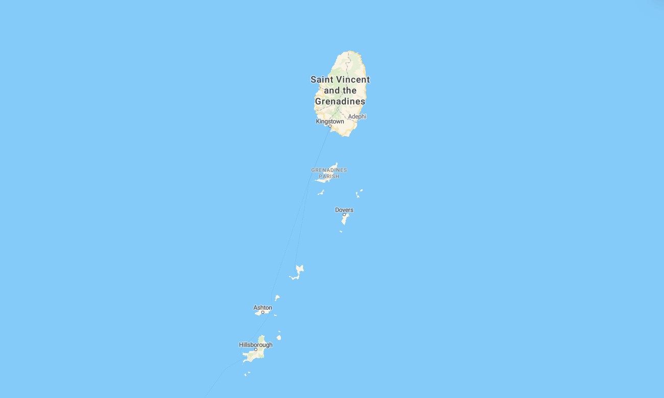
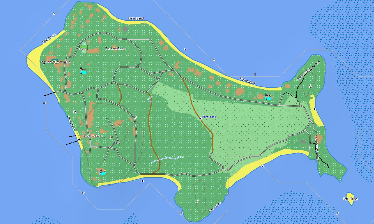
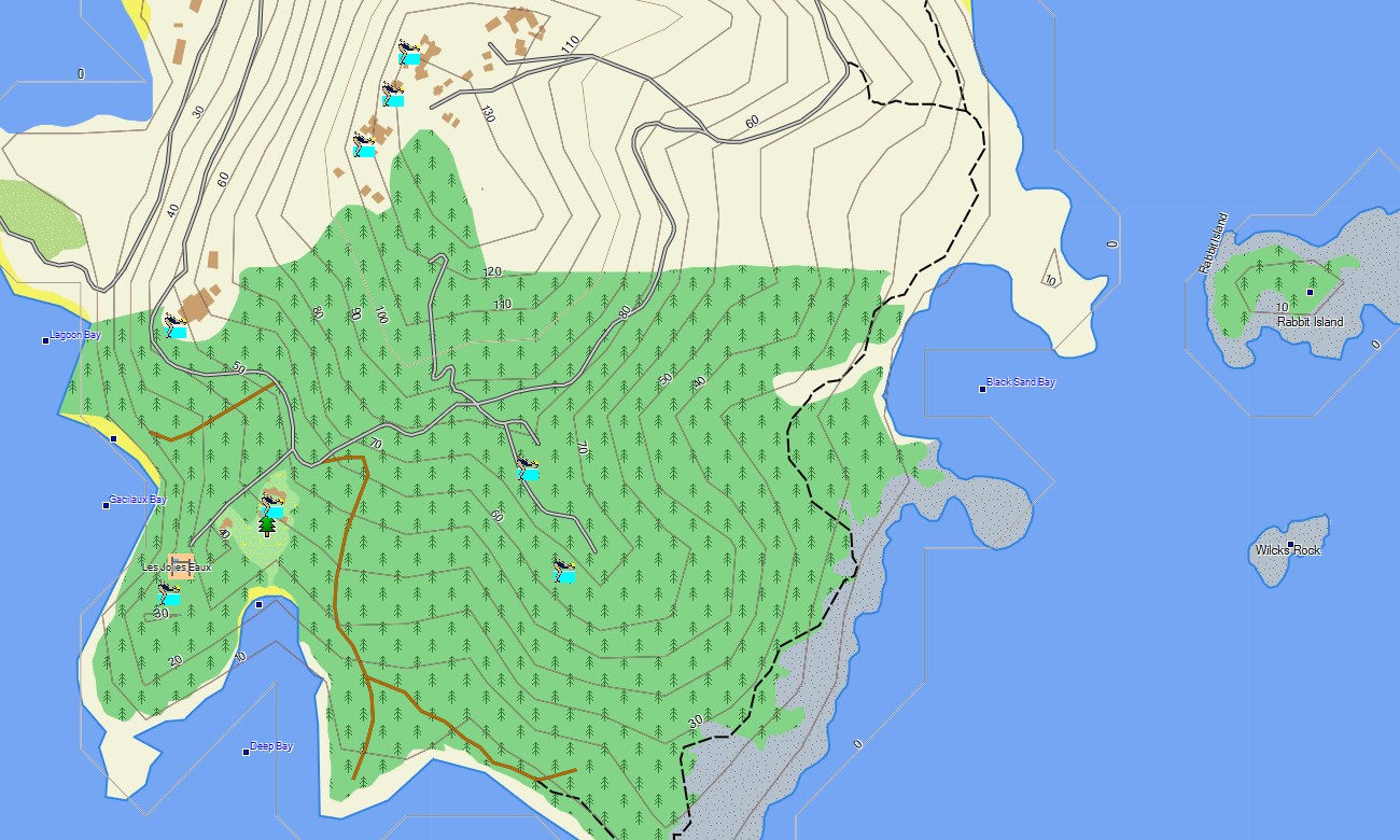
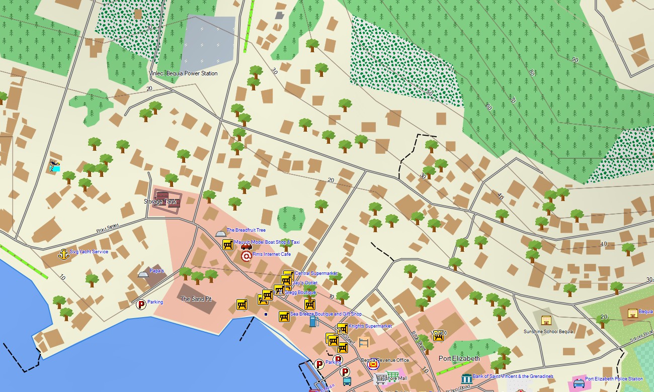
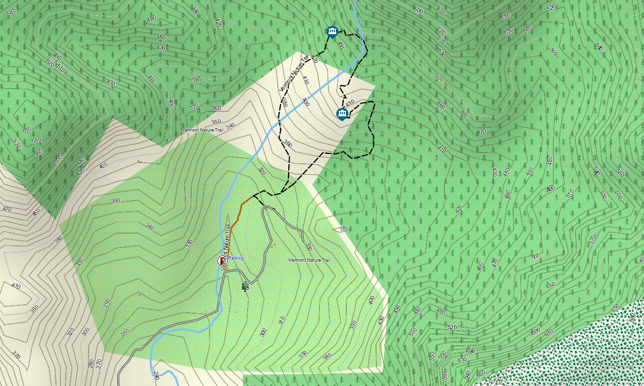
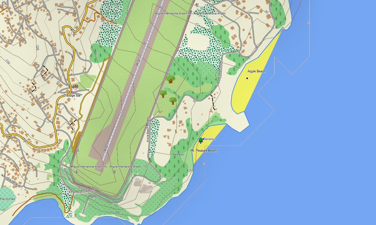
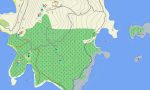
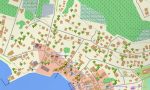

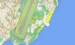
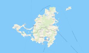
Saint Vincent and the Grenadines Garmin topographic map
$22
Saint Vincent and the Grenadines topo map for Garmin
Discover the stunning archipelago with a precise topographic Garmin map, essential for sailing routes, volcanic trails, and island-hopping. This comprehensive Garmin GPS map covers the main island of Saint Vincent and the chain of the Grenadines, offering reliable navigation from Kingstown to secluded cays, perfect for marine and land-based outdoor exploration.
Perfect for sailing itineraries and hiking adventures, these outdoor maps Garmin enthusiasts trust are built on OpenStreetMap data with instant download with regular updates included. This OSM map tourist Garmin solution aids navigation along coastal roads, through mountainous interiors, and across inter-island passages, functioning offline on handheld GPS, Garmin navigators, and as a map for Garmin watch.
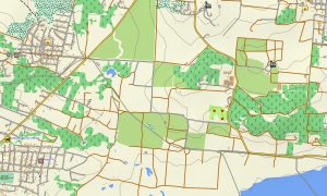
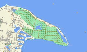
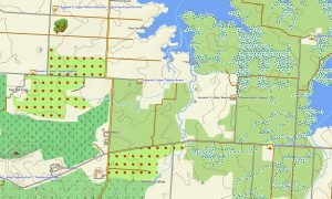
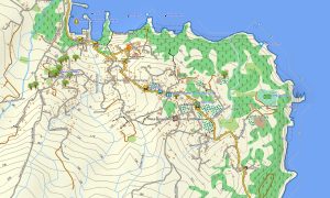
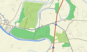
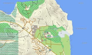
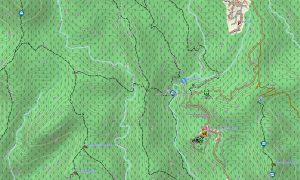
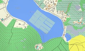
Functioning as a detailed OSM topo map, this Garmin map includes roads, footpaths, sailing channels, rivers, waterfalls, and elevation contours. It highlights natural features like the La Soufrière volcano, coral reefs, lush rainforests, and sandy beaches, making these Garmin OSM maps vital for exploring the region’s diverse beauty.
The built-in routing in these maps for Garmin navigator devices allows for planning driving tours on Saint Vincent or sailing routes between islands directly on your GPS. This Garmin GPS map ensures reliable guidance, whether navigating mountain roads or coastal waters, all without needing a mobile signal.
You receive several map layers: full road and track coverage, detailed data for towns and settlements, and topographic information for remote areas. After purchase, an instant download link is provided for easy installation, and your download Garmin map is kept accurate with consistent updates.
Key Features:
- Topographic maps for Garmin covering Saint Vincent and the Grenadines with roads, trails, sailing channels, coastal features, and elevation contours
- Natural features such as volcanic terrain, rainforests, coral reefs, beaches, waterfalls, and hills
- Complete road coverage including highways, local island routes, urban streets, and rural tracks
- Routing support for driving, hiking, and boating
- Points of interest: urban infrastructure, historic sites, ruins, ports, lighthouses, peaks, monuments, and notable landmarks
- Works completely offline – no internet connection required
- Compatibility with handheld GPS units, vehicle devices, marine systems, and supported as a map for Garmin watch models
Only logged in customers who have purchased this product may leave a review.
Reviews
There are no reviews yet.