


Shanxi Garmin topographic map
$29
Shanxi topo map for Garmin
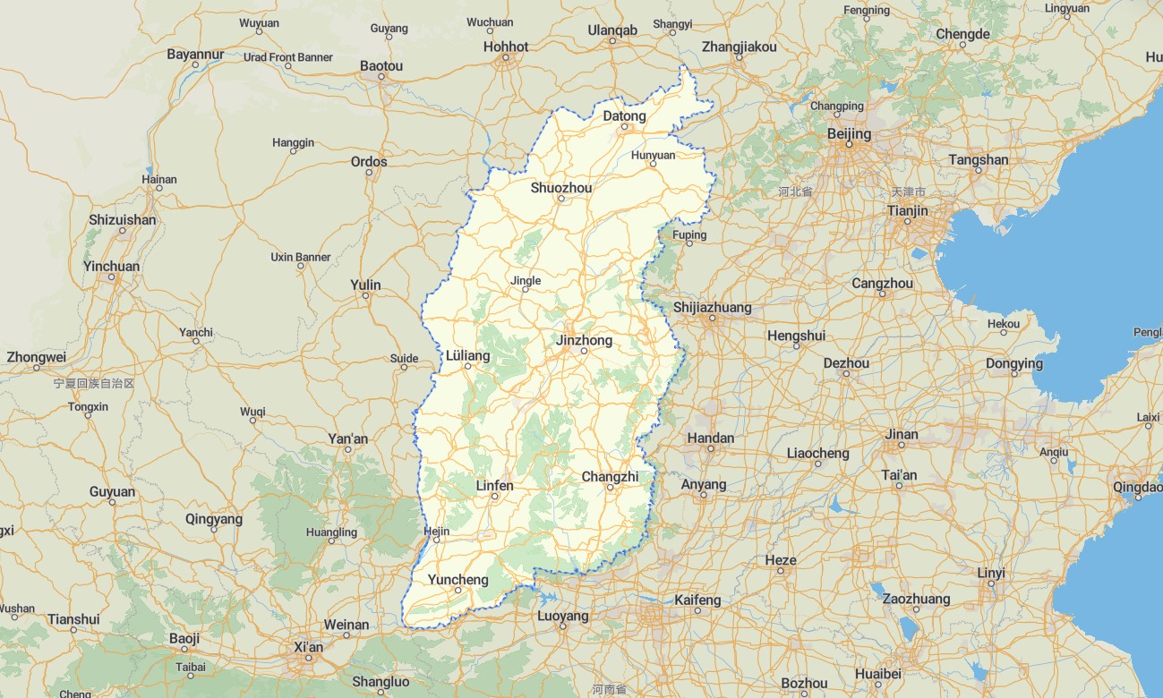
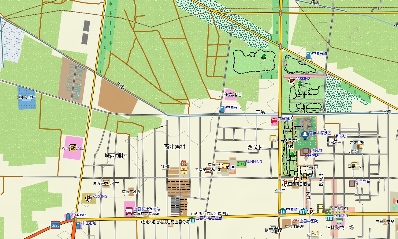
Explore Shanxi’s loess plateaus, ancient walled cities, Buddhist grottoes, mountain temples, river valleys, and historic trade routes with detailed Garmin maps designed for offline navigation. This Garmin GPS map covers Taiyuan, Datong, Pingyao, Linfen, Yuncheng, Jinzhong, Xinzhou, Wutai Mountain, the Yellow River corridor, and rural highland areas.
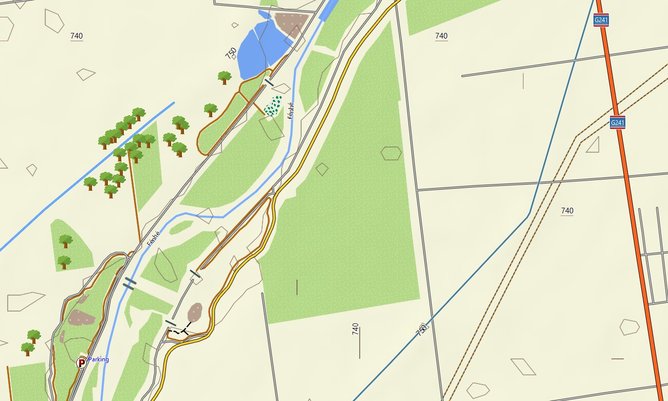
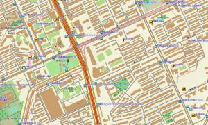
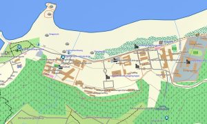
Created as a practical OSM map tourist Garmin solution, the map supports cultural sightseeing, hiking, cycling, road trips, pilgrimage routes, and countryside exploration. These outdoor maps Garmin users rely on include expressways, city streets, village lanes, mountain roads, walking paths, rivers, reservoirs, viewpoints, temples, old towns, and local services.
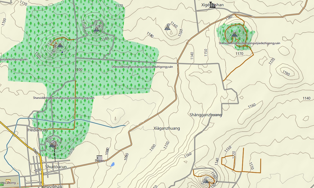
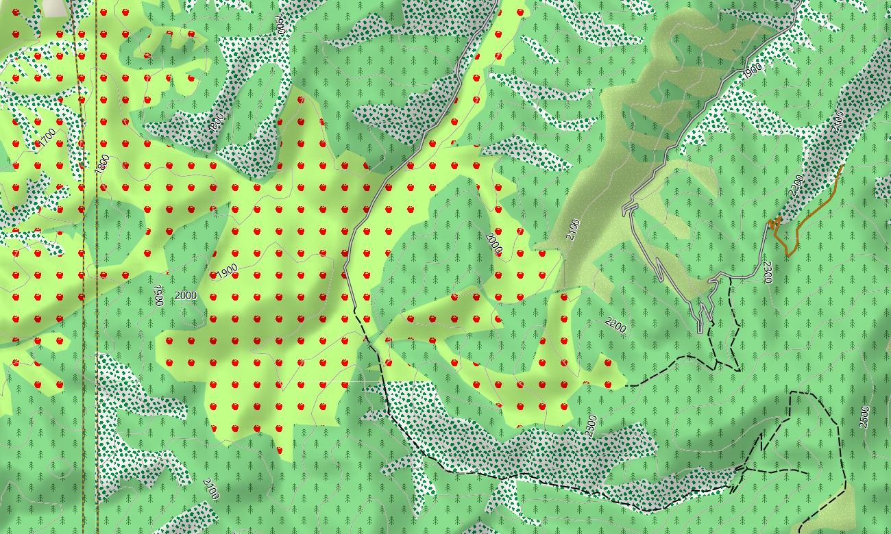
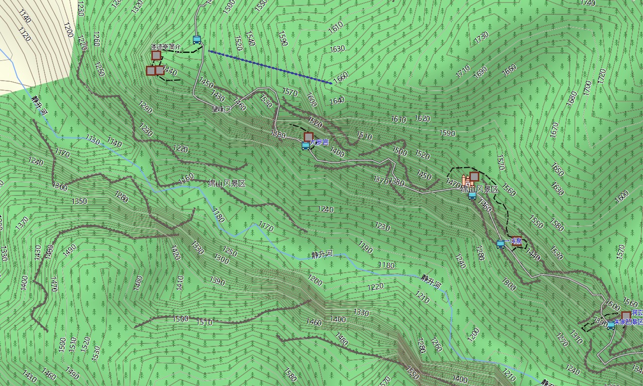
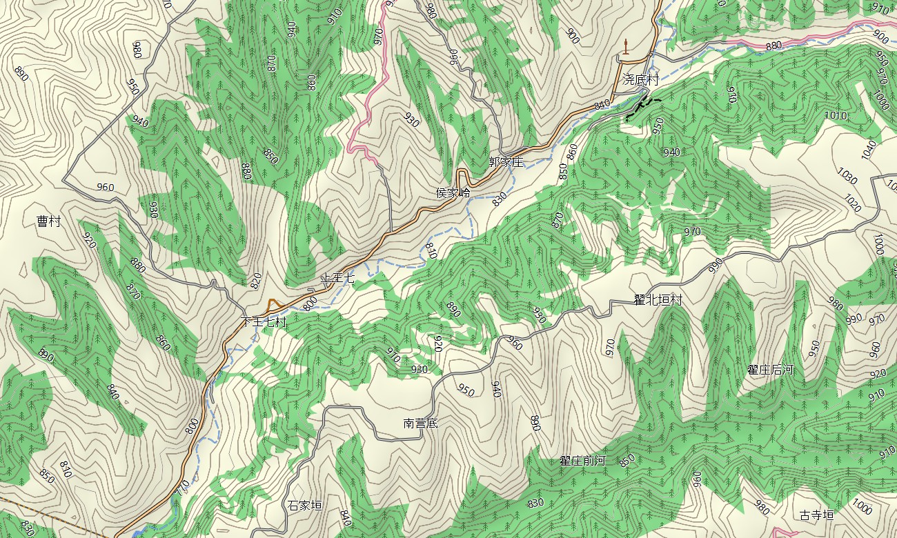
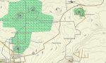
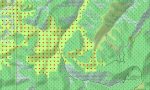
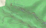
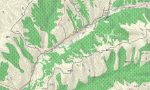
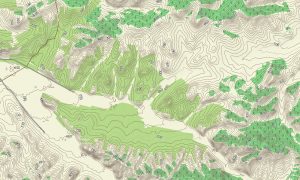
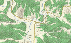
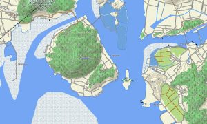
This Garmin GPS map also functions as a detailed OSM topo map, displaying elevation contours, plateau edges, valleys, ridges, river terraces, forest tracks, cave areas, and settlement layers. The Garmin map is especially useful around Mount Wutai, Hengshan, the Taihang Mountains, Hukou Waterfall approaches, and historic routes between Datong, Pingyao, and Yuncheng.
Built from open street maps Garmin compatible data, the product provides strong regional coverage for ancient towns, mountain parks, rural counties, scenic areas, and major transport corridors. After purchase, users can download Garmin map files quickly and install them on compatible devices before traveling across Shanxi.
Updated Garmin OSM maps help keep roads, trails, scenic entrances, heritage locations, village routes, and service points more accurate over time. Maps for Garmin navigator devices support long-distance driving, city navigation, mountain access, temple visits, and routes between grottoes, old towns, museums, river viewpoints, and rural landscapes.
A map for Garmin watch is useful for hikers, runners, cyclists, and walkers following mountain paths, city-wall routes, village streets, riverside trails, and park loops. These OSM topographic maps and topographic maps for Garmin provide dependable offline terrain awareness across Shanxi’s historic and rugged landscapes.
Key Features:
- Topographic maps for Garmin covering Shanxi include expressways, city streets, rural lanes, mountain roads, hiking trails, rivers, reservoirs, plateaus, valleys, villages, historic districts, and elevation contours
- Natural features include the Loess Plateau, Taihang Mountains, Mount Wutai, Hengshan, Yellow River valleys, Hukou Waterfall area, forested ridges, gorges, terraces, and upland basins
- Road coverage includes national highways, provincial roads, urban routes, village tracks, mountain passes, tunnel sections, bridge routes, scenic-area roads, rural access roads, and intercity corridors
- Points of interest include Yungang Grottoes, Pingyao Ancient City, temples, pagodas, museums, viewpoints, old courtyards, campsites, railway stations, hotels, grotto sites, and cultural landmarks
- Routing support helps compatible maps for Garmin navigator devices guide drivers, cyclists, and travelers through Taiyuan, Datong, Pingyao, mountain regions, Yellow River routes, and rural counties
- The map is presented in two versions: with labels in Latin characters and with labels in Chinese characters
- Full compatibility is available for handheld Garmin GPS units, automotive navigators, outdoor devices, cycling computers, and supported models using a map for Garmin watch with OSM topographic maps
Only logged in customers who have purchased this product may leave a review.

Reviews
There are no reviews yet.