

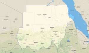
South Sudan Garmin topographic map
$29
South Sudan topo map for Garmin
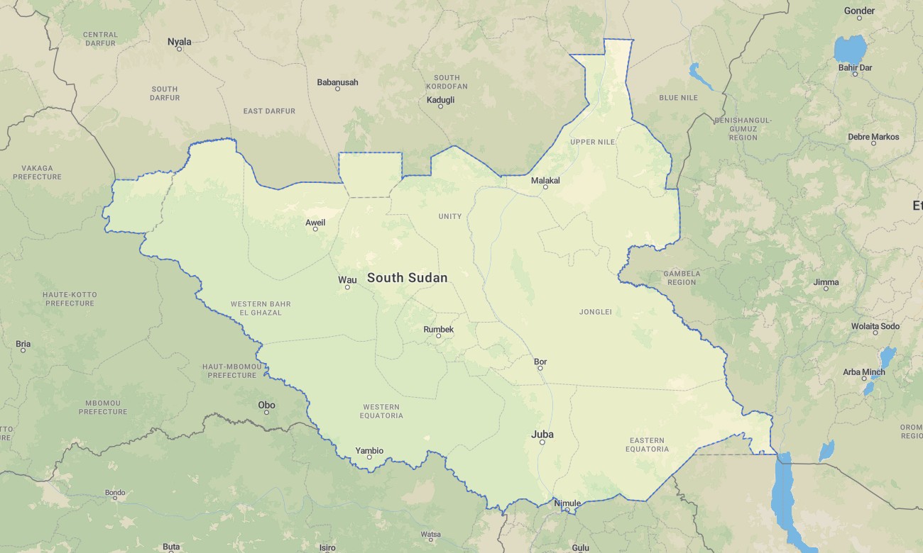
Navigate the world’s newest nation with this detailed topographic Garmin map, designed for travel across its vast savannas and wetlands. This comprehensive Garmin GPS map covers South Sudan, from the Sudd wetland and White Nile through the floodplains and ironstone plateaus to the southern border regions, offering reliable guidance for overland exploration.
Suited for travel on main routes and exploration of natural areas, this OSM map tourist Garmin solution blends OpenStreetMap data with enhanced terrain detail for cities like Juba, principal roads, and rural tracks. These outdoor maps Garmin users depend on work completely offline. Instant download with regular updates included ensures your Garmin map is prepared for travel in this challenging environment.
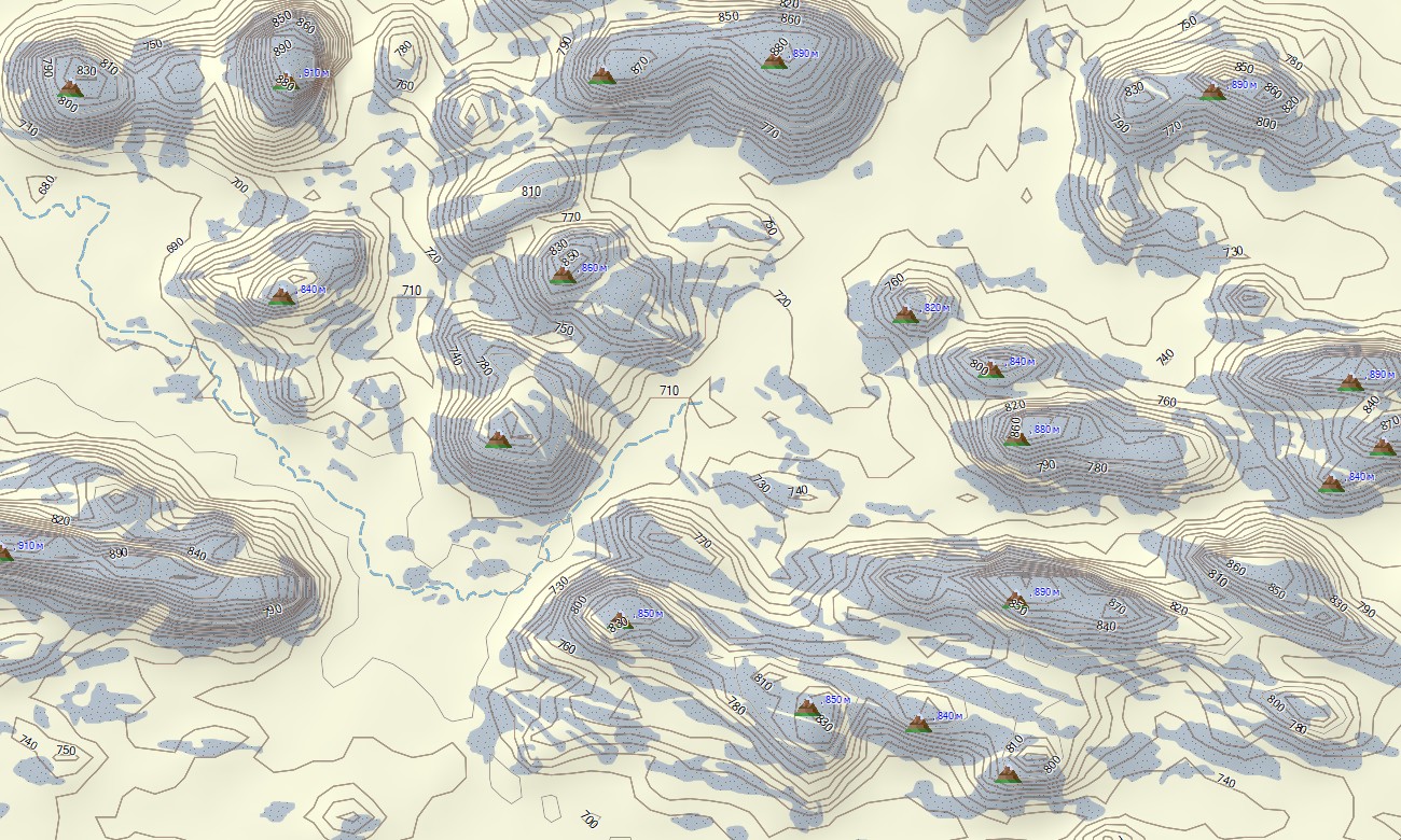
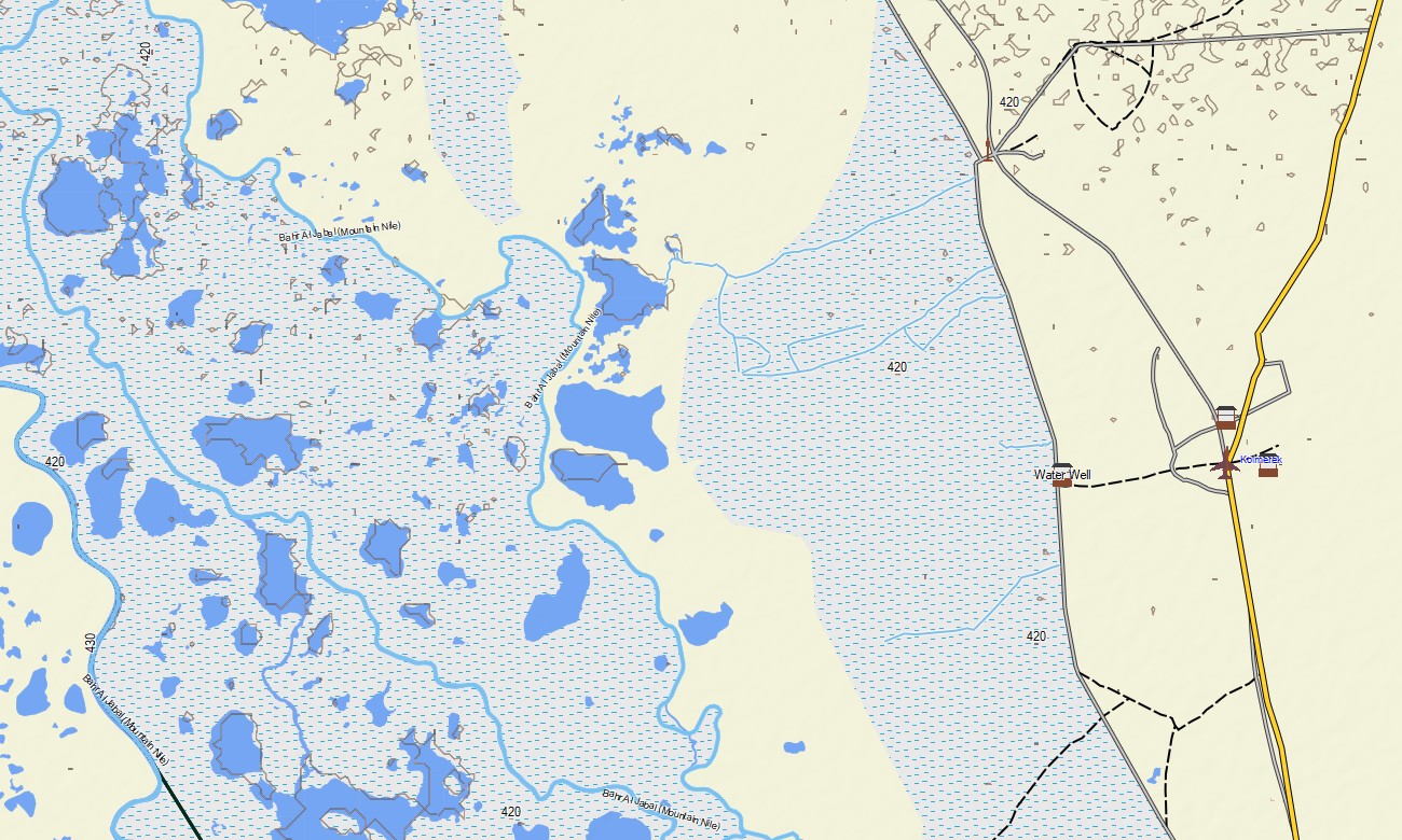
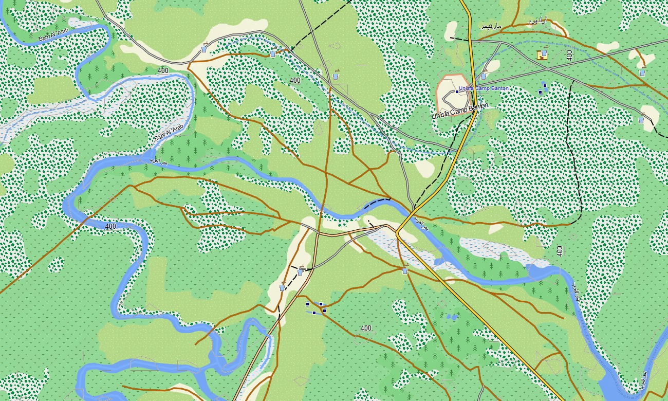
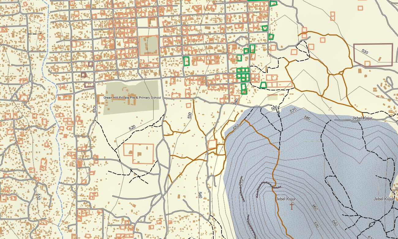
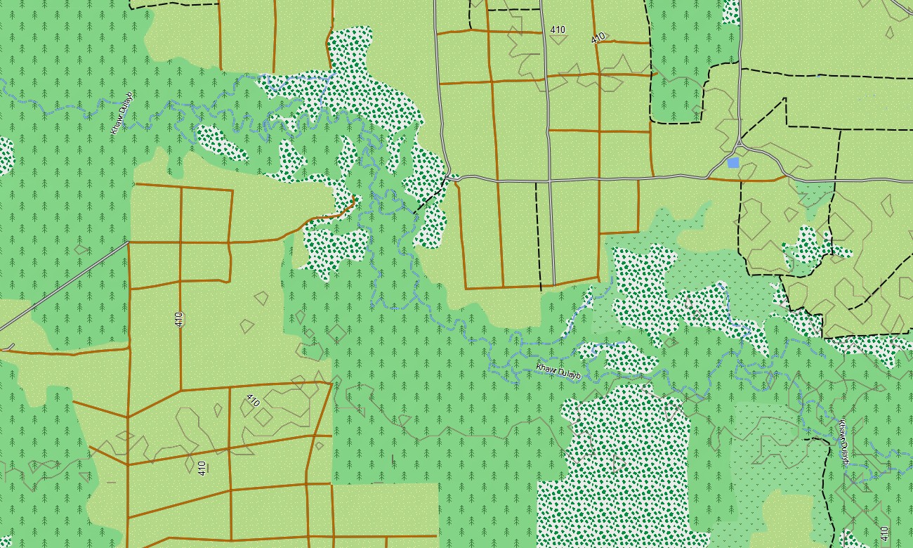
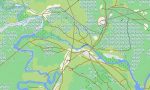
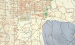
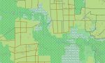
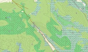
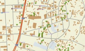
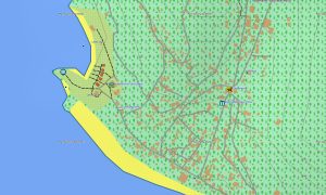
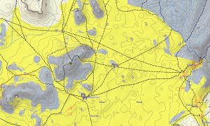
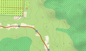
This Garmin GPS map serves as a comprehensive OSM topo map, showing main highways, secondary roads, trails, the White Nile and its tributaries, seasonal flood areas, and elevation contours. Natural features such as the immense Sudd wetlands, the Nile River system, the Green Belt, and the ironstone plateau are clearly rendered. The detail in these topographic maps for Garmin is invaluable for understanding South Sudan’s unique and difficult terrain.
With built-in routing, these maps for Garmin navigator devices enable efficient route planning and turn-by-turn navigation on your GPS. Where road conditions allow, this Garmin map provides guidance for travel between state capitals and major towns, offering offline navigation without mobile networks.
The map includes multiple layers: road and track coverage based on available data, detailed city information for key urban centers, and comprehensive topographic data. After purchase, you receive an instant download link; installation takes minutes, and regular updates keep your Garmin map as accurate as possible.
Key Features:
- Topographic maps for Garmin covering South Sudan with roads, highways, tracks, the White Nile, tributaries, seasonal wetlands, and elevation contours
- Natural features including the Sudd wetlands, the White Nile basin, floodplains, the Green Belt, and ironstone plateaus
- Coverage of principal highways and urban streets based on available mapping data
- Points of interest: urban infrastructure, airports, historical sites, markets, churches, universities, government buildings, hospitals, hotels, restaurants, fuel stations, water points, communication towers, border crossings
- Routing support for driving navigation on compatible devices where data permits
- Full compatibility with handheld GPS units, vehicle navigators, and as a map for Garmin watch models
- The map contains contours of heights
Only logged in customers who have purchased this product may leave a review.

Reviews
There are no reviews yet.