
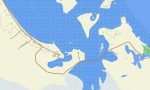
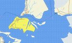
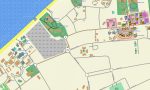

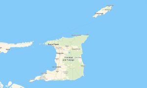
Turks and Caicos Garmin topographic map
$22
Turks and Caicos topo map for Garmin
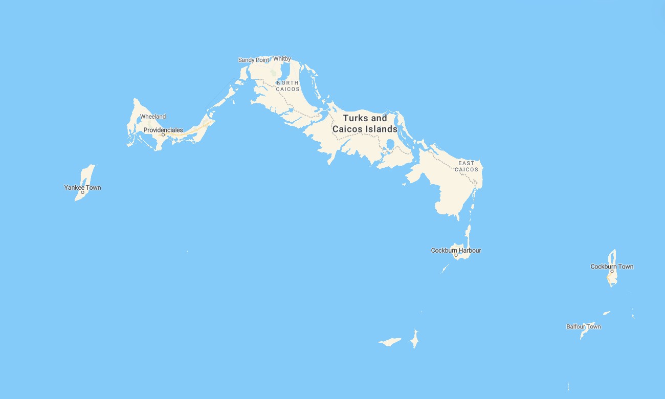
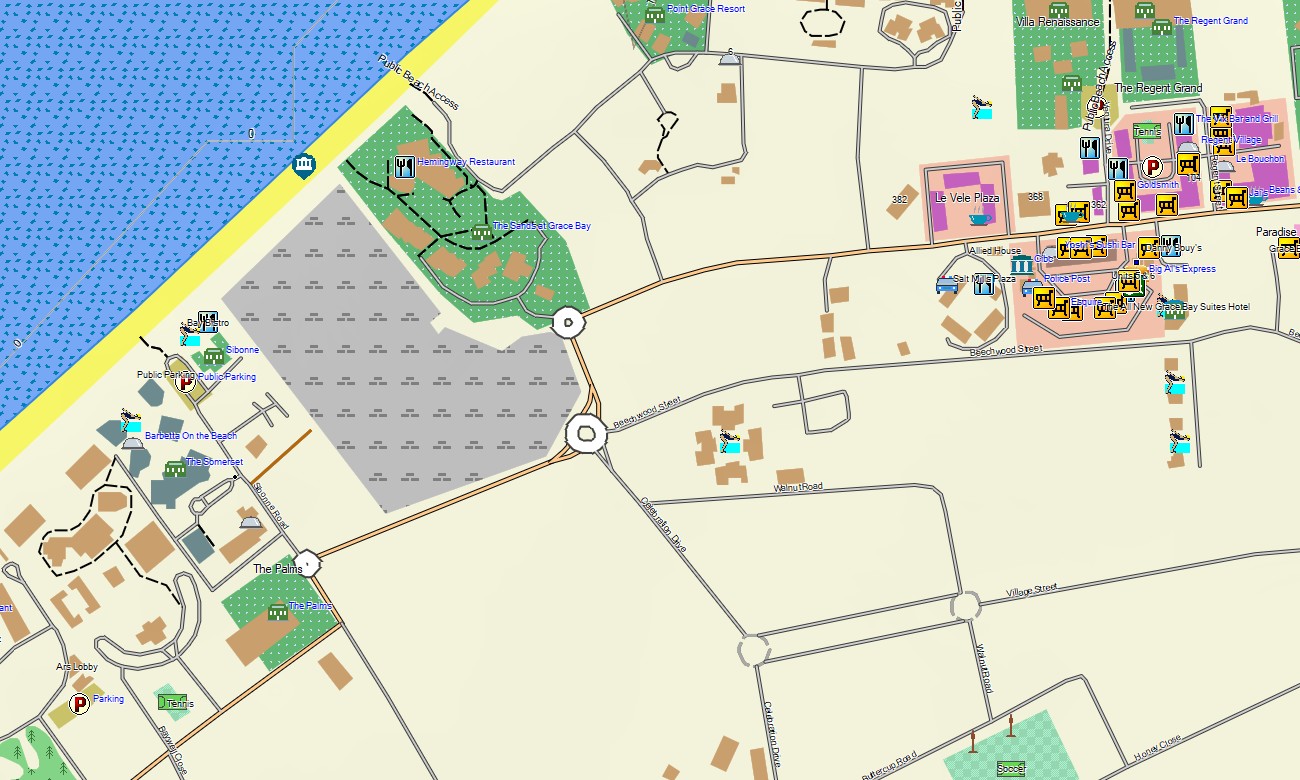
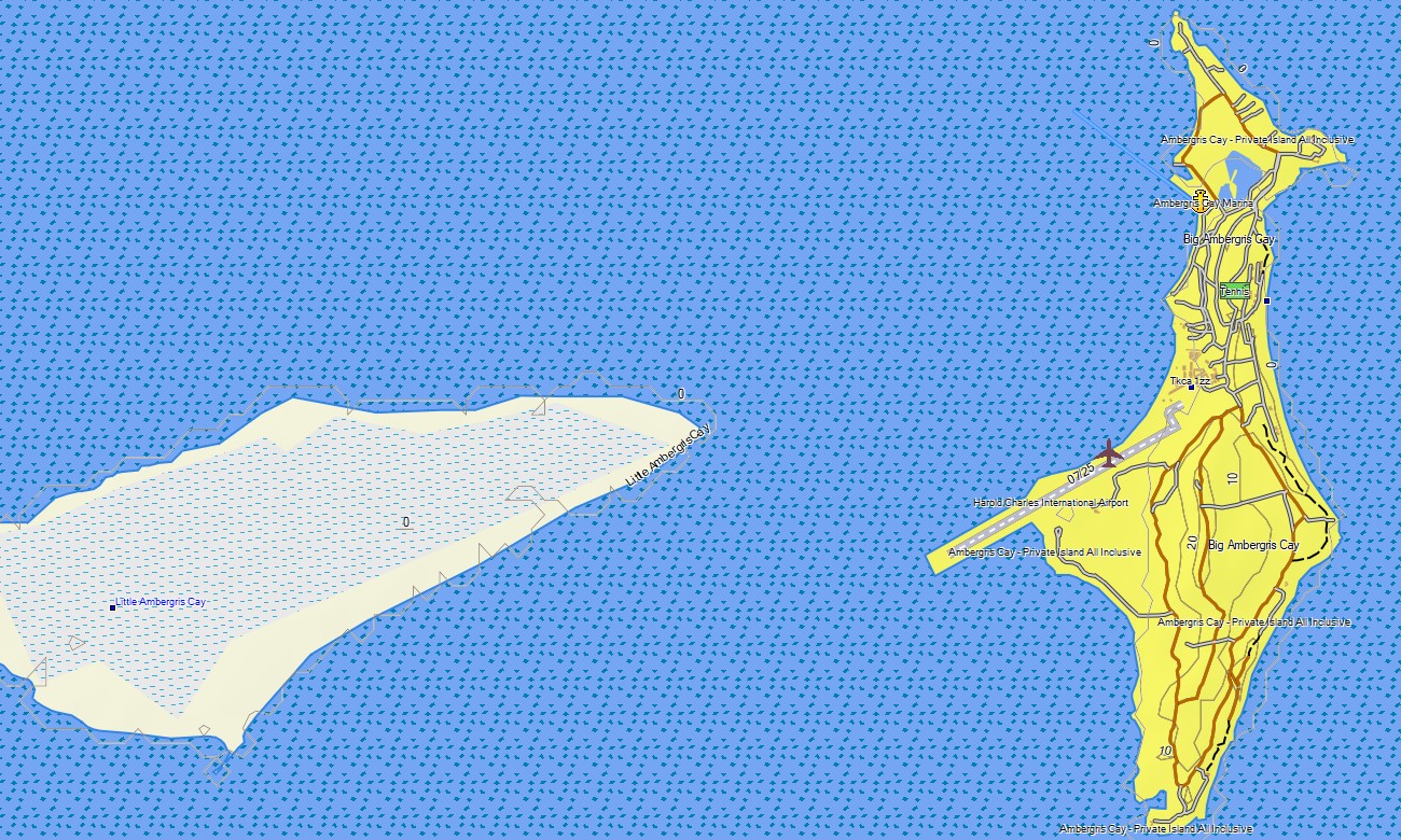
Navigate the stunning archipelago of the Turks and Caicos Islands with this detailed topographic Garmin map, designed for exploring low-lying limestone islands and pristine beaches. This specialized Garmin GPS map provides comprehensive coverage across the inhabited islands like Providenciales and Grand Turk, as well as remote cays, ensuring precise guidance for coastal and marine-oriented adventure.
Ideal for beach exploration and island-hopping by road, these Garmin maps are built as a dedicated OSM map tourist Garmin solution. They use OpenStreetMap data to support navigation in Cockburn Town and along limited road networks, focusing on key coastal access points. These outdoor maps Garmin include instant download with regular updates included and are optimized for handheld GPS devices, car navigators, and as a map for Garmin watch.
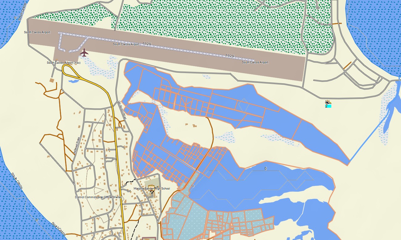
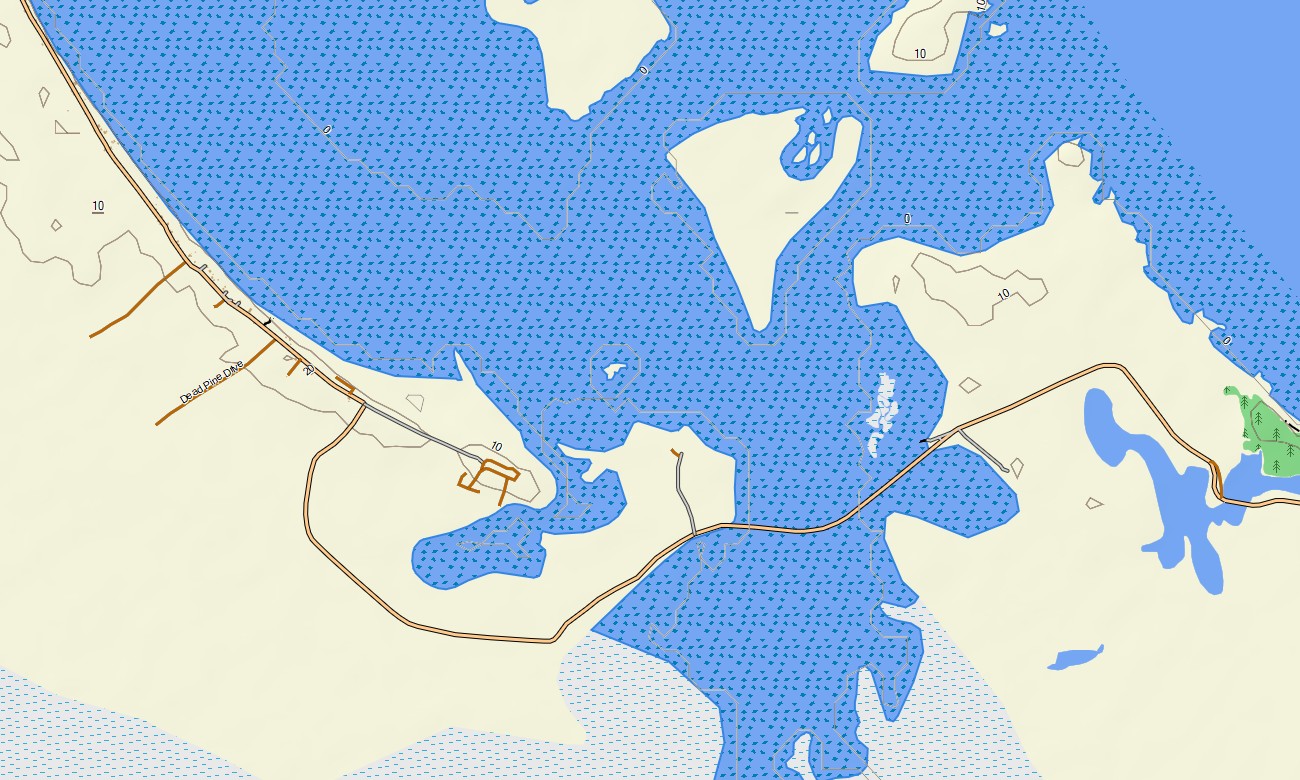
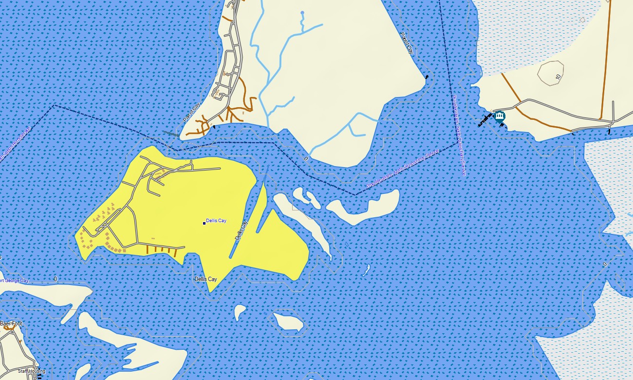
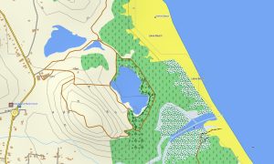
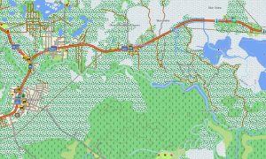
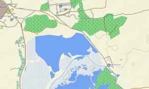
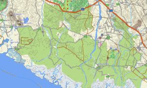
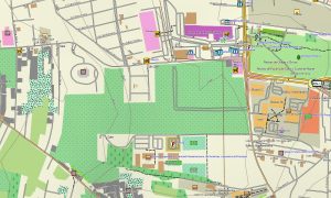
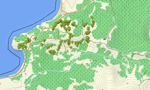
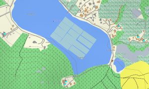
This resource functions as a practical OSM topo map, detailing the network of roads, trails, salt flats, coastal features, and subtle elevation changes. Natural features such as mangrove channels, salinas, coral reefs, cliffs, and vast shallow flats are clearly displayed. The accuracy of these topographic maps for Garmin is essential for discovering the unique coastal and terrestrial landscapes.
With integrated routing, these maps for Garmin navigator devices enable easy planning and turn-by-turn guidance directly on your GPS for land-based travel. Whether driving across Providenciales, exploring Grand Turk’s historical sites, or finding remote beach access, this Garmin map provides reliable offline navigation.
The product includes multiple layers: road coverage for the main islands, detailed points for settlements and key infrastructure, and comprehensive coastal topographic data. After purchase, you get an instant download link, installation is straightforward, and updates keep your Garmin GPS map current.
Key Features:
- Topographic maps for Garmin covering the Turks and Caicos Islands with roads, trails, coastal features, salinas, and elevation data
- Natural features such as limestone islands, mangrove ecosystems, salt flats, coral reefs, cliffs
- Points of interest: urban infrastructure, historical sites, ruins, peaks, viewpoints, monuments, water towers, lighthouses, marinas, and notable landmarks
- Routing support for driving, hiking, and cycling trips
- Works fully offline — no internet connection required
- Coverage of main roads on inhabited islands and key coastal data
- Compatibility with handheld GPS units, vehicle devices, and supported as a map for Garmin watch models
Only logged in customers who have purchased this product may leave a review.
Reviews
There are no reviews yet.