
Uganda Garmin topographic map
$29
Uganda topo map for Garmin
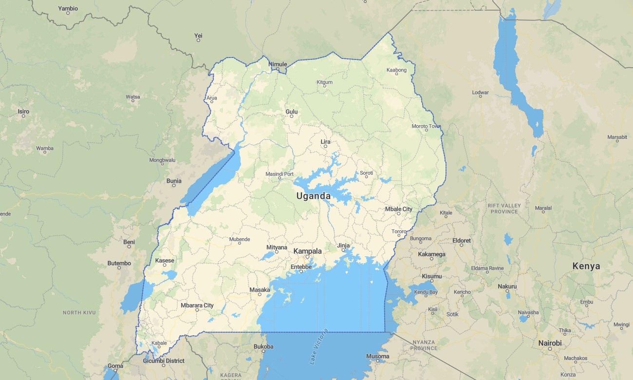
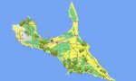
Explore the Pearl of Africa with this detailed topographic Garmin map, crafted for navigation from the Rwenzori Mountains to Lake Victoria. This extensive Garmin map covers Uganda, from the southern lakeshores and islands through the lush central hills and volcanic ranges to the northern savannas, providing reliable guidance for gorilla trekking and wildlife safaris.
Suited for primate tracking tours and national park road trips, this OSM map tourist Garmin solution combines OpenStreetMap data with topographic detail for Kampala, the road network to Bwindi and other parks, and rural tracks. These outdoor maps Garmin users trust function fully offline. Instant download with regular free updates included keeps your Garmin GPS map accurate for any Ugandan adventure.
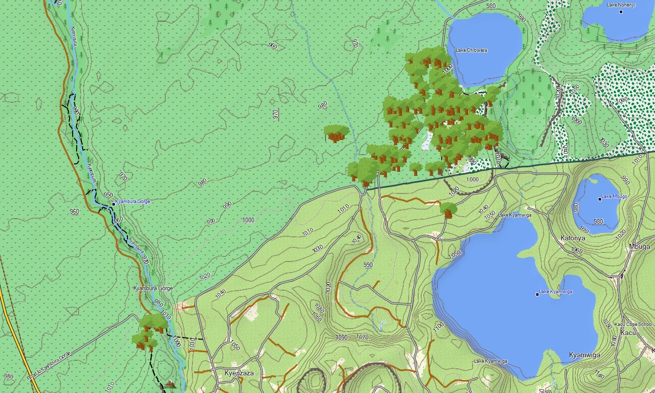
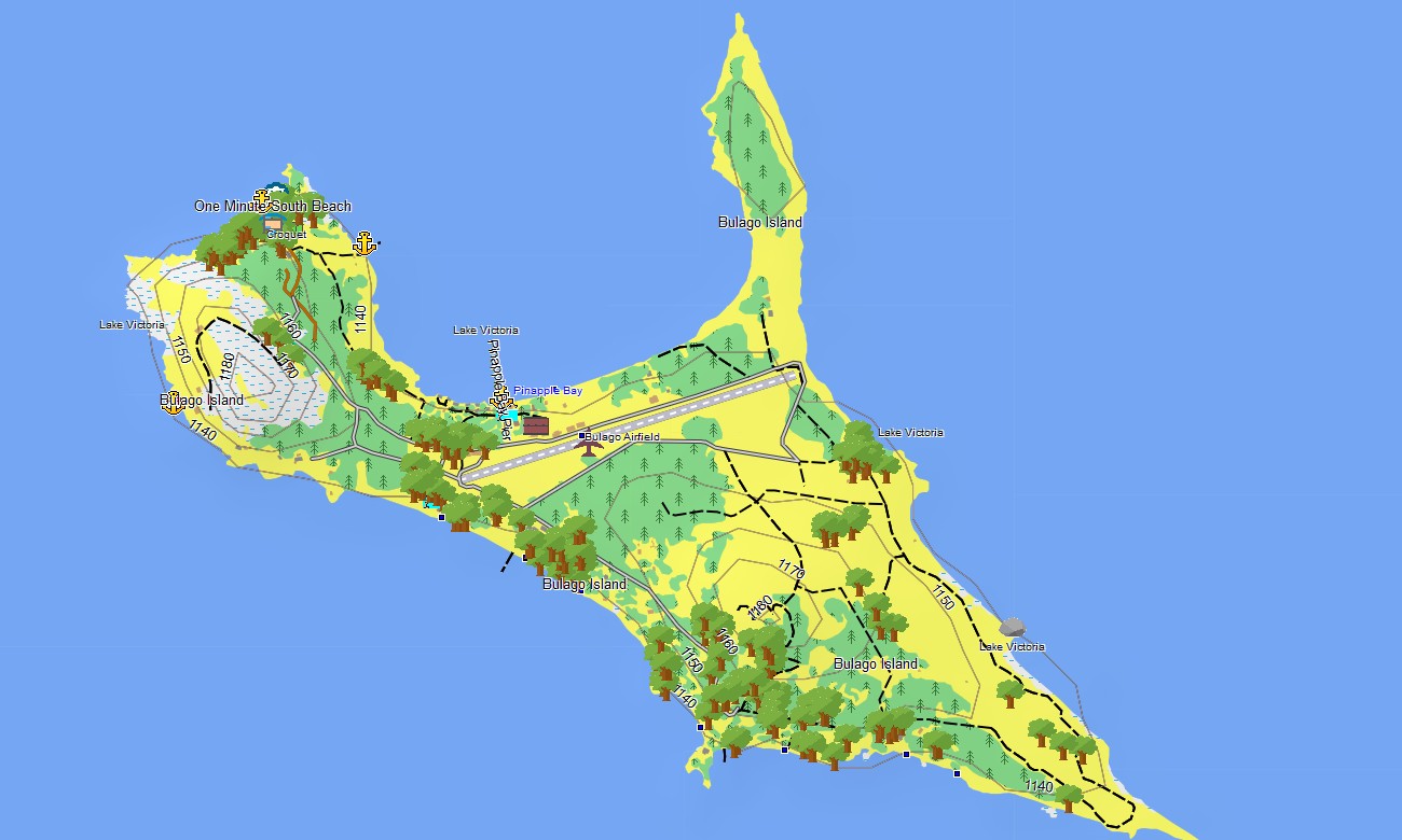
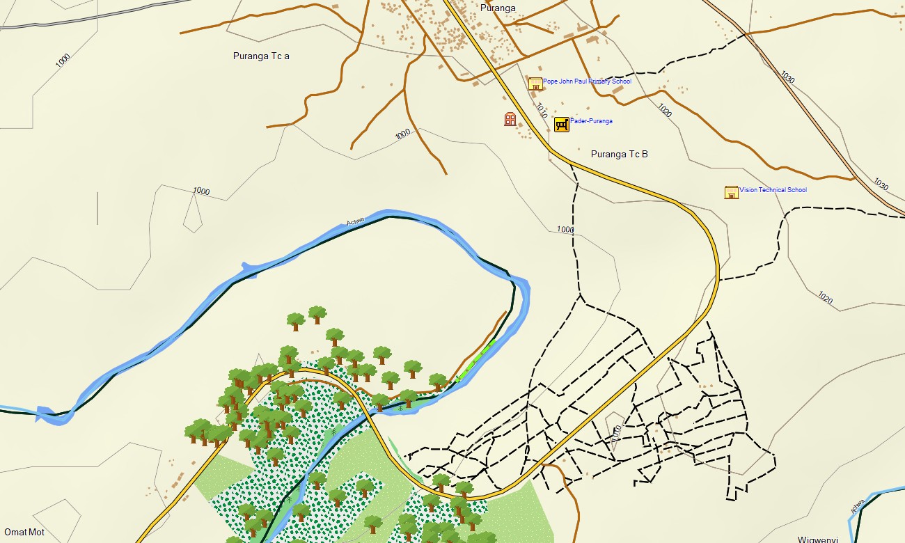
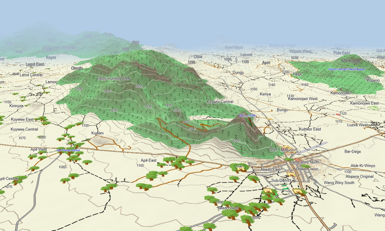
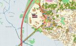
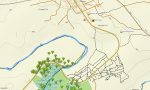
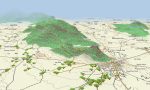
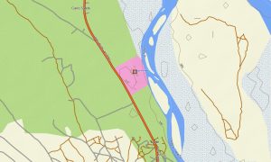
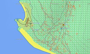
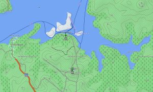
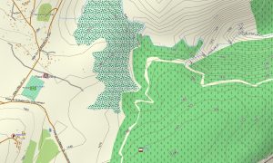
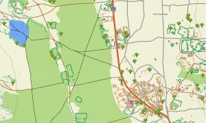
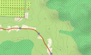
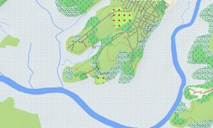
This detailed Garmin map serves as an essential OSM topo map, displaying paved and murram roads, park tracks, trails, rivers, the Nile, Lake Victoria, other lakes, and elevation contours. Natural features such as the Rwenzori Mountains, the volcanic Virunga range, Lake Victoria basin, the Nile’s source, and forested national parks are clearly depicted. This makes these topographic maps for Garmin crucial for exploring Uganda’s incredible biodiversity and scenery.
Featuring integrated routing, these maps for Garmin navigator devices allow for planning and turn-by-turn guidance directly on your device. Whether driving to Bwindi Impenetrable Forest, navigating around Lake Victoria, or traveling to Murchison Falls, this Garmin map offers consistent, offline navigation.
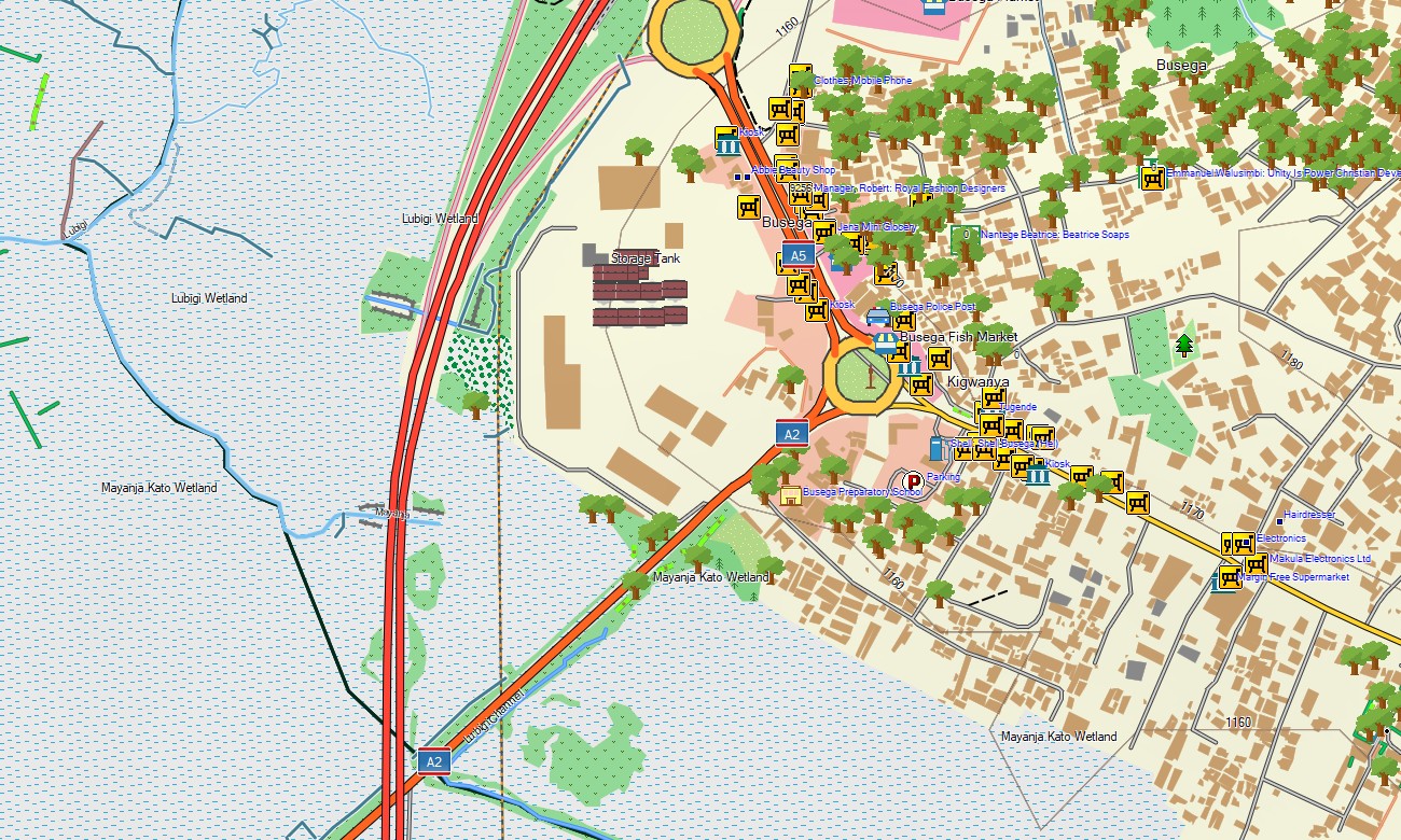
The map offers several data layers: full road coverage for national travel, detailed city navigation for Kampala and towns, and comprehensive topographic information for parks and mountains. You get an instant download link after purchase; installation is straightforward, and updates ensure your Garmin map for handheld or vehicle remains reliable.
Key Features:
- Topographic maps for Garmin covering Uganda with roads, highways, park tracks, trails, rivers, the Nile River, Lake Victoria, other lakes, and elevation contours
- Natural features including the Rwenzori Mountains, the Virunga Volcanoes, Lake Victoria, the source of the Nile, tropical rainforests, and savanna parks
- Complete road coverage of tarmac and murram roads, urban streets, and park access tracks
- Points of interest: urban infrastructure, airports, seaports, historical sites, museums, markets, churches, mosques, universities, government buildings, hospitals, clinics, hotels, lodges, national park headquarters, restaurants, fuel stations, banks, police stations, water towers, viewpoints
- Routing support for driving and safari navigation on compatible Garmin devices
- Full compatibility with handheld GPS units, automotive navigators, and supported as a map for Garmin watch models
- The map contains contours of heights
Only logged in customers who have purchased this product may leave a review.
Reviews
There are no reviews yet.